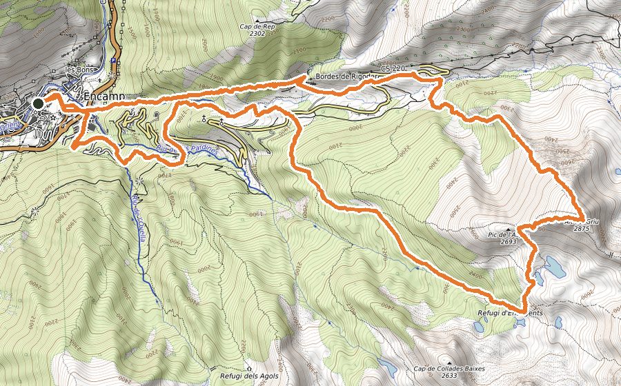
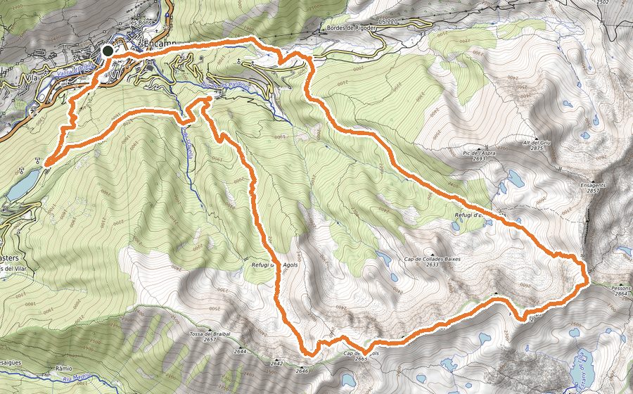
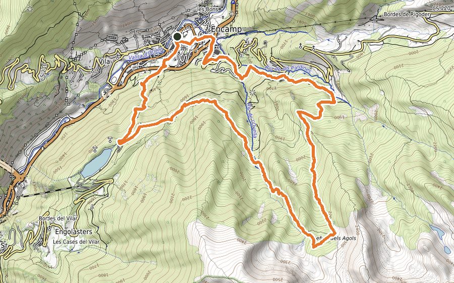
The route
In this short circuit you will get to the top of Bony de Neres. During the first half of the trail you will complete the majority of the ascent. You will find astonishing panoramic views of Encamp from the summit and from a couple of spots during the descent.
The route starts from Encamp tourist office and continues by the GR11 through the streets of this town. When you meet the church of Sant Romà de les Bons, continue by the rocky path.
Keep following the GR markers by path, while climbing towards the Coll de Ordino (2000 meters height). In that col you will find a signpost with directions. Turn left to face the last stretch of the ascent. After crossing a field, follow a wide path until you meet the antenna that domains the summit of Bony de Neres.
The signs in the peak will indicate how to continue the route, moving along the Serra d’Encamp towards the Coll de Beixalís. From there, descend by road for 50 meters and take the downhill path that you will find in the first road curve.
Before getting to Vilà, there is a long section by road. Once you are in that town, walk down a cobbled street and shortly after you will be back in Encamp.