Photos in the direction of travel.See all 82 photos of the route →
The route
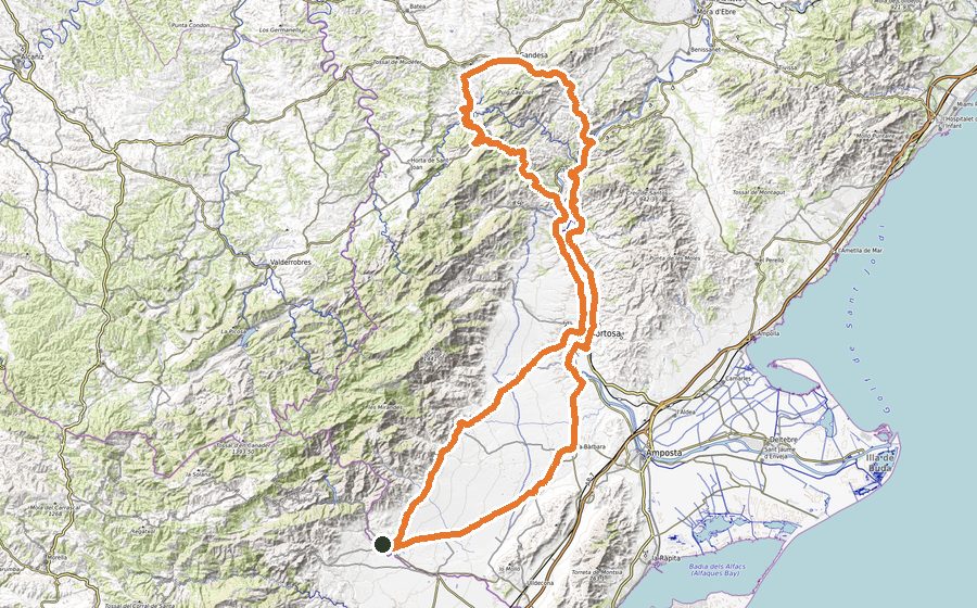
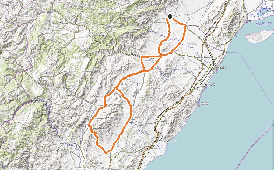
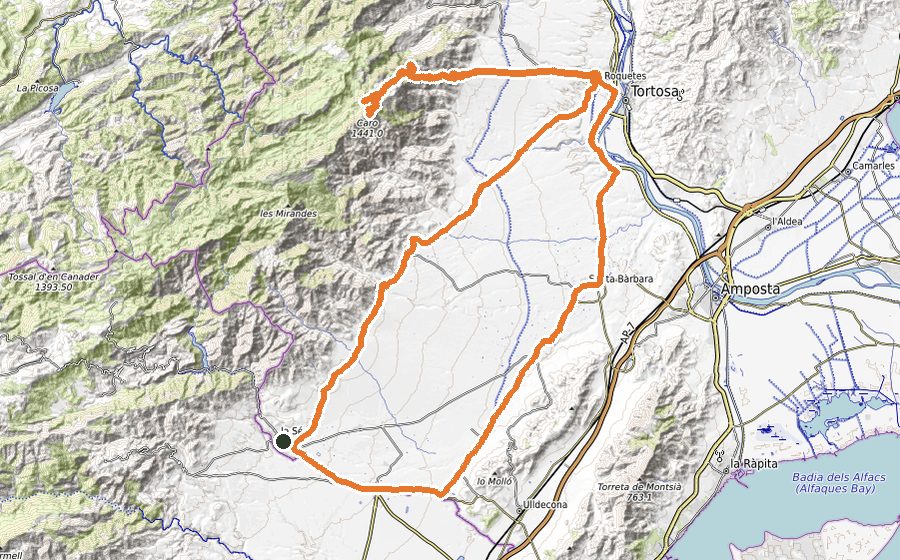
This route takes you to Morella via Vallibona, climbing Santa Àgueda and finishing with a spectacular ascent to Torremiró from both sides, especially the Herbés side. Once at the top, you’ll stay high for 25 km, on undulating terrain with many ramps. 155 km and almost 3,000 m of climbing that will leave you satisfied.
- Road conditions
- Rough asphalt in some descents between Rossell and Vallibona. Be careful as the route crosses the Servol river several times. The final part of the Santa Àgueda climb has rough tarmac, and the stretch between Castell de Cabres and El Boixar is very deteriorated. The rest of the route is in excellent condition.
- Traffic
- Moderate only on the N-232 section. Very low or nonexistent traffic elsewhere, especially between Rossell and Vallibona and from Penya-roja to Fredes.
- Refreshments
- You’ll find cafés and places to eat in all the towns along the route, but it’s highly recommended to enter Morella if you plan to stop.
Climbs
- Alt de Santa Àgueda, km 39.000 – D+ 1,147 m – 1st category – 8.4 km at 5.7%
- Alt de Torremiró, km 65.200 – D+ 1,205 m – 2nd category – 10.1 km at 3.7%
- Alt d’Herbés, km 108.300 – D+ 1,228 m – 1st category – 8.3 km at 5.1%