The route
Quite a demanding and entertaining route where we will do practically all the positive gradient in a single climb, and with some technical part where we will need the help of our hands. Shady journey, almost always in the woods. Throughout the ridge and summit area we will enjoy spectacular views of the surroundings. Remember you are in a grazing area. During the tour you may find yarn for livestock. For a good coexistence with farmers and all those who live in nature, remember to close the yarns on your way
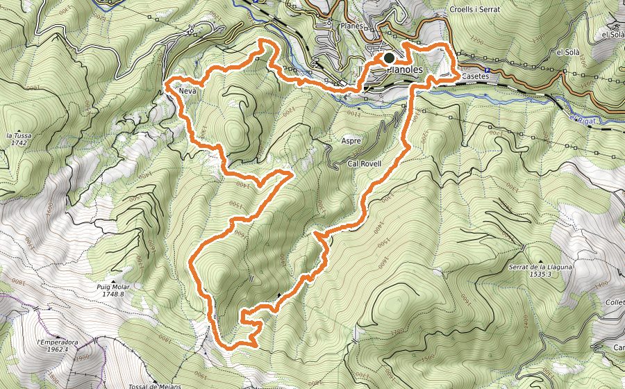
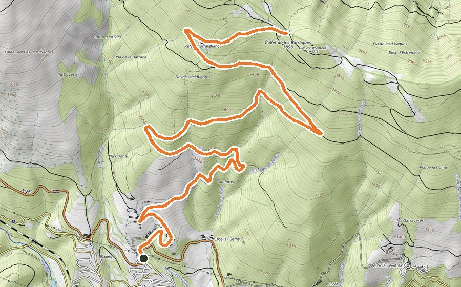
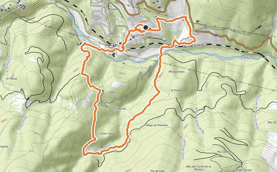
We will start the circuit in the Plaça 1 d’Octubre, in front of the Bar Casino. With the first few meters through the streets of the village, we will quickly enter the path of the Font de la Serra, which in descent, will take us to the neighborhood of Les Casetes, small group of houses that we will cross to follow a short cemented section that will take us to the beginning of the Camí de la Soís, where we will start the most demanding ascent sector that will take us into the Baga de Planoles until we reach the most technical point of the route, the climb and subsequent descent of Roca Aguda, a peculiar rock formation that protrudes from among the trees.
We will continue on a clear ascent, between monumental trees and torrents of fresh water, until we come across the forest track from Campelles to Coll Roig, where we will turn left to make a fairly flat stretch of track, which will help us relax. legs after the demanding climb we made. After this friendly kilometer, in Coll de Prat de Jou we will turn right to take a path-breaking path, where we will hardly find the rhythm, which will take us, after leaving behind a vertical section where we will use our hands to climb, to the free Refuge of La Covil. From the door of the refuge we will see clearly what we will have to overcome before crowning the first peak of the route, a meadow with a steep slope. Arriving at La Covil, at an altitude of 2001m, we will distinguish in front of us the Costa Pubilla, the highest point of the route and where we will arrive after overcoming a strong siphon from the Coll de Coma Ermada.
From the top we will start the descent, first along a ridge section but without too much technical difficulty, to the Coll de la Bona, where we will turn right to descend to the Plans de Nevà and Coll Roig, where we will enter the forest again. At this point we will begin a rapid descent, always through the forest, which will force us to run with all our senses on alert, passing first by Can Baldrich, an old ruined farmhouse, and continue down to the village of Nevà, a postcard town which is well worth a calmer visit. We leave the houses behind on a clear descent, first along the track and shortly afterwards take a path on our right. The trail is a breakwater, always through red pine forest, which demands the maximum attention and demand in this final section of the circuit. Arriving at the Alberg Marista, we will see the Rigart river, which we will cross by a metal walkway at the height of the football field, and we will face the demanding last sector of the route, less than a kilometer uphill. which, by stretches of asphalt, dirt, stairs and the streets of the village, will take us to the starting point.