The route
Short but intense and demanding route, with steep up-and-down slopes. This circuit should be avoided in winter because most of it could be inaccessible.
The high point of this route is the Taga, an iconic summit within catalan hiking and a vantage point with 360º panoramic views of part of the country.
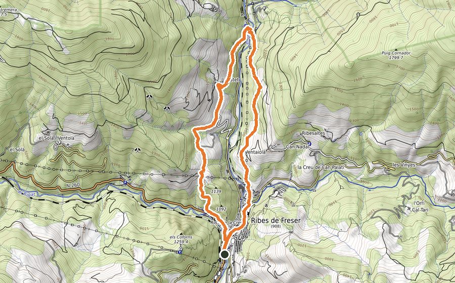
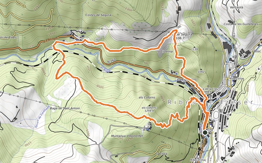
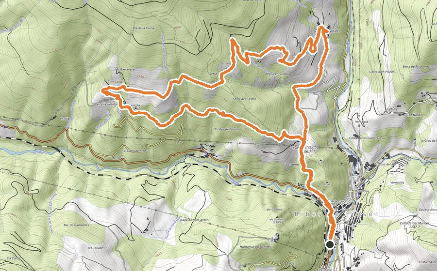
The starting point is a big esplanade in the middle of the town, where there are plenty of car park spaces, some tables and a playground for children. Start walking towards the Serrat Roig neighborhood and after go past the last house, get into the forest in a steep ascent. This trial will get you to Coll de la Portella. Turn left and walk a wide path followed by a paved stretch until you get to “the curve”.
Start walking the steep uphill path that will get you to Coll de Jou. Before getting there, you will get the chance to stop in Pla dels Dois and you will also find the Torrent de la Font de Llobina.
Cross the cattle grids and after that go up the slopes of the Taga, sometimes across fields and sometimes by path, passing two fences that should stay closed. After this ascent you will get to the top of Taga, the tallest peak of the area (2040m) and an emblematic summit for catalan people.
From there you can admire the 360º panoramic views, highlighting the peak of Sant Amand, the Puigmal and the distant Pedraforca. Beneath your feet you will see the starting point, Ribes de
Freser, Pardines, and a large number of villages and country houses spread around the landscape.
The descent should be done by the crest going towards Ribes de Freser. At the spot height 1900, after crossing a fence, you should sharply turn to the left to keep going down on a steep slope across the fields until meeting the Pla de Freixes. Slightly after that, you should get to Coll de la Pera, easy enough to identify because of its antenna. Passing that building, go back to continue walking through the fields and now keep an eye on the fence that should be crossed twice. Keep going until you get to a grass track and walk it for 500m. At that stage you should be back in town and very close to the starting point.