We design the routes
Short, middle and long-distance loops, verticals, mountain bike and family routes, starting and finishing at one point in your town.
For town councils, county councils and tourist boards
We design, record and publish trail running, hiking and mountain bike routes so that visitors can find them, download them and do them safely.
What we do
With as few as 3 routes, your destination can have its own page on The Trail Zone. We can also add them to your council’s website.
Short, middle and long-distance loops, verticals, mountain bike and family routes, starting and finishing at one point in your town.
We cover every route: an error-free GPS file, photos in the direction of travel, a detailed description and a report of suggested improvements.
A page for the destination and for each route, with a topographic map, elevation profile, photos and GPS download, in four languages.
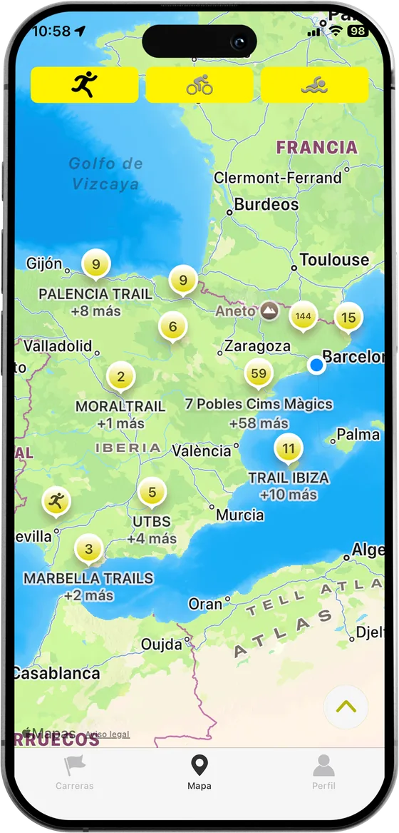
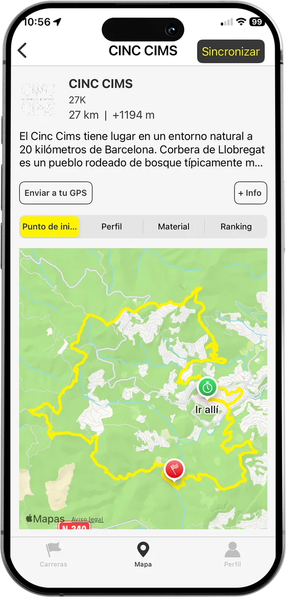
The routes can be run with the Open Trail Races app, with timing and data on who completes them.
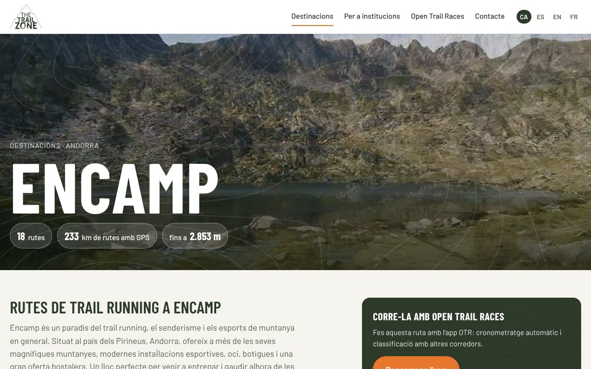
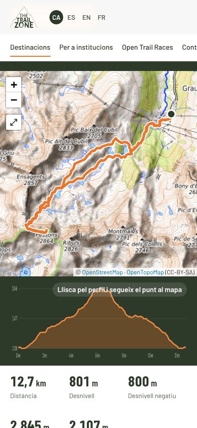
This is how your destination looks
Why The Trail Zone
Unlike other route websites, there are no routes uploaded by users here. This avoids conflicts caused by people crossing places without permission, or areas closed for environmental reasons.
With a single QR code at the starting point, visitors go straight to the destination’s own page, with all the information.
If a route has to be closed for any reason, it is removed in one click and put back when needed.
We post regularly on our social media channels, aimed specifically at trail runners, hikers and mountain bikers.
We send emails featuring your destination’s routes to our database of 8,000 registered users.
How we work
We respect protected areas. The ecosystem and its conservation are our goal.
Thanks to GPS there is no need to mark the paths. We use the waymarks that already exist.
Routes designed for all kinds of users. Safety is our priority.
Destinations have a starting point with information, and many have showers.
Destinations
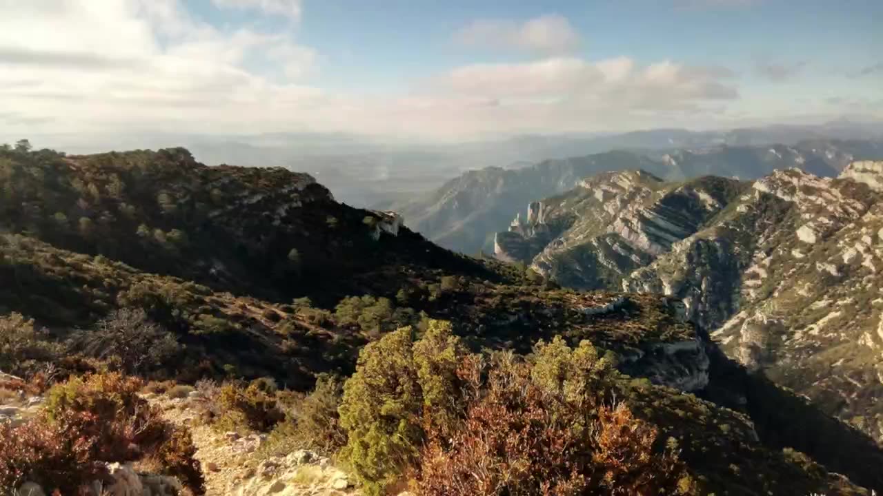
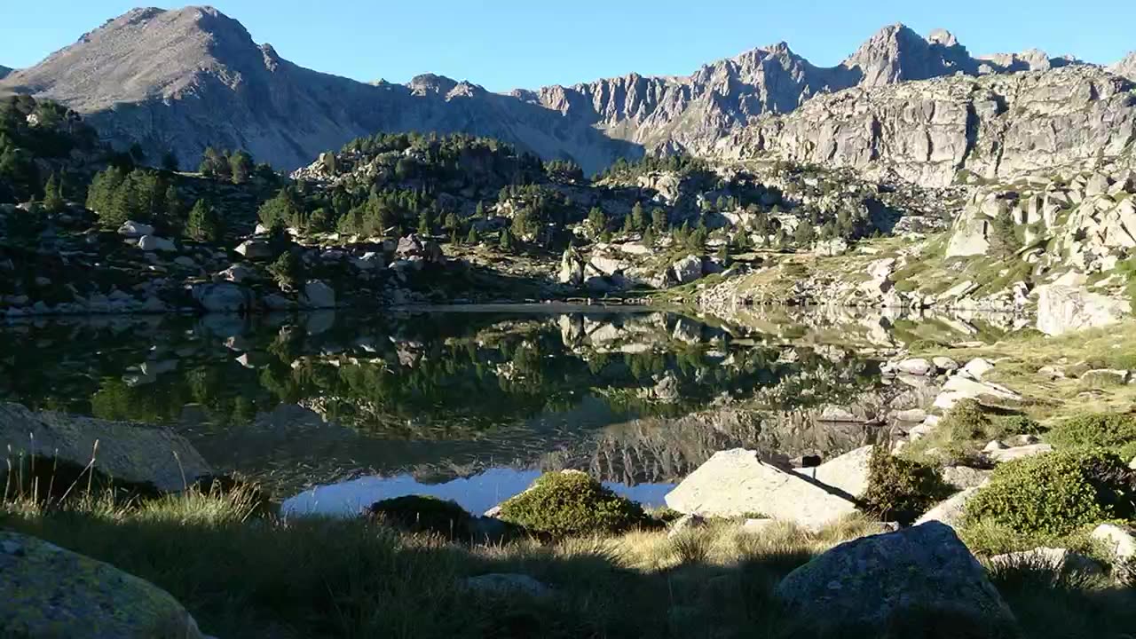
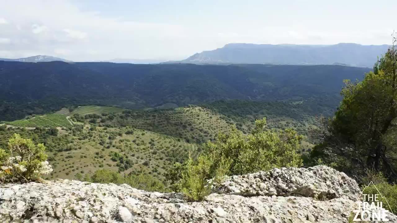
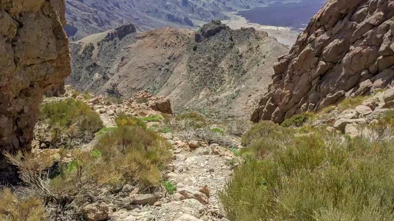
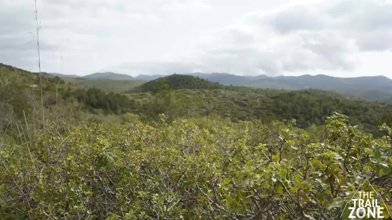
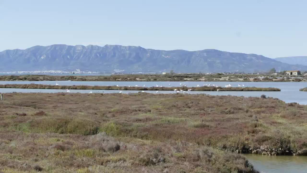
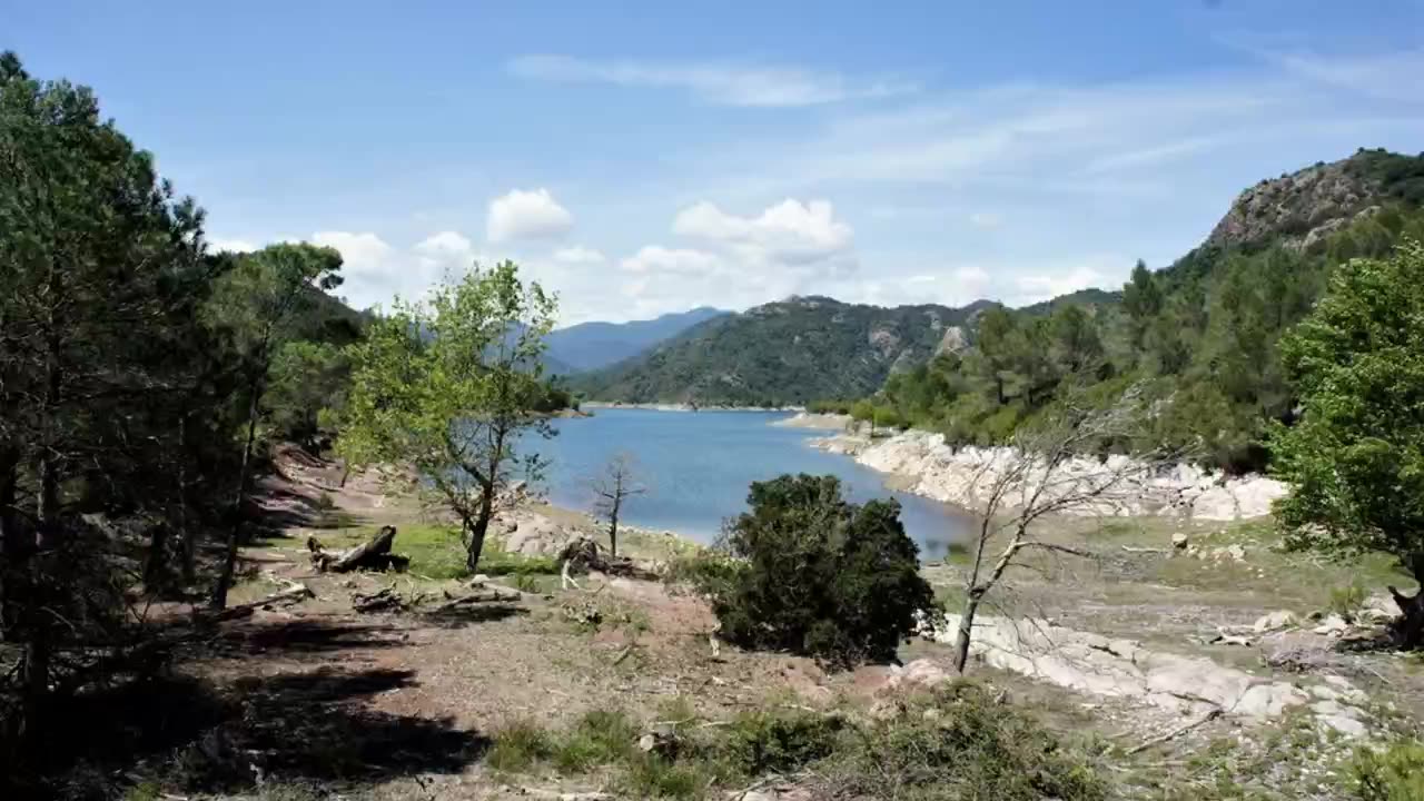
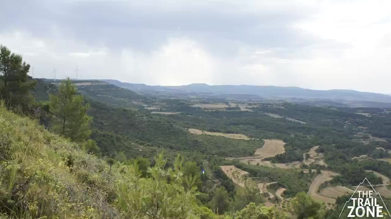
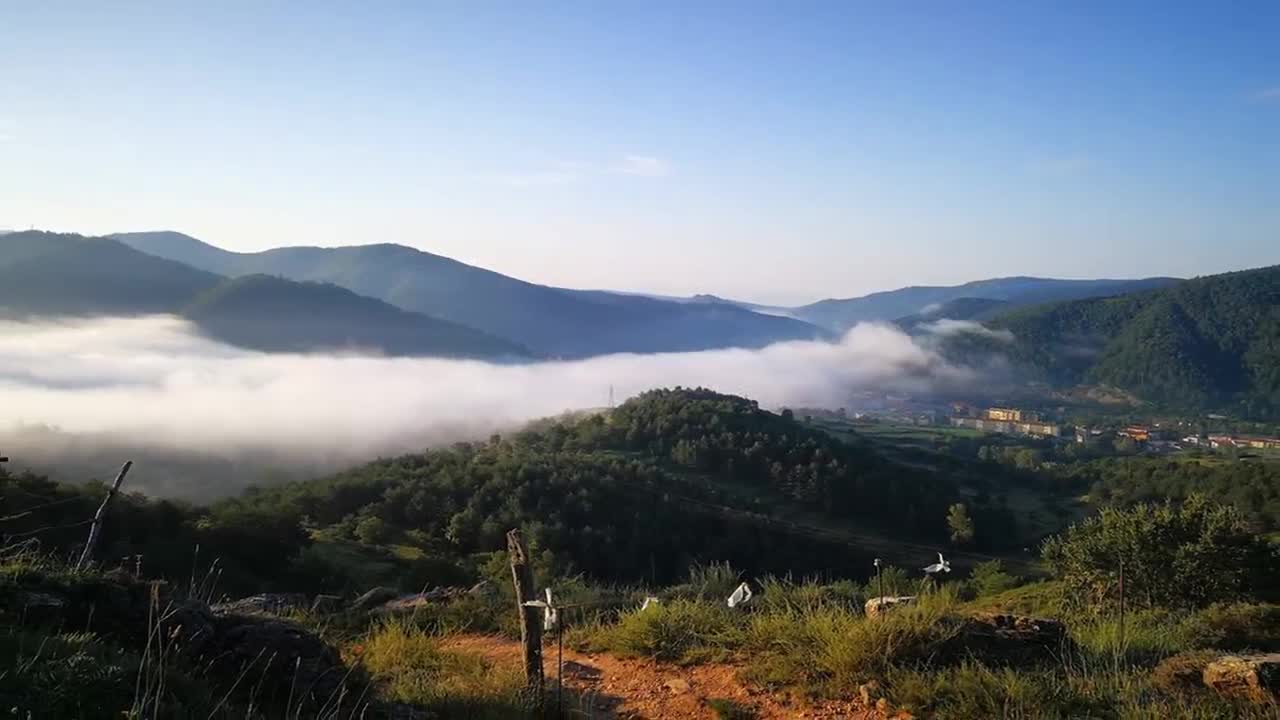
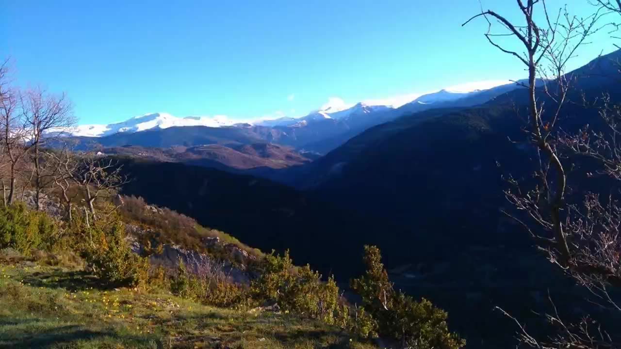
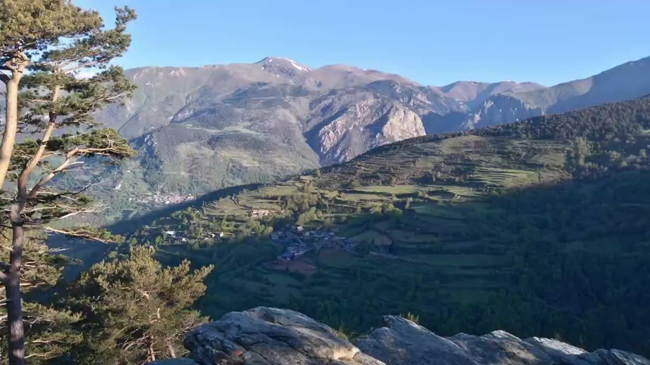
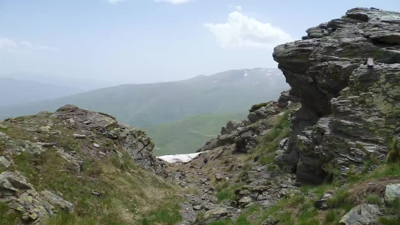
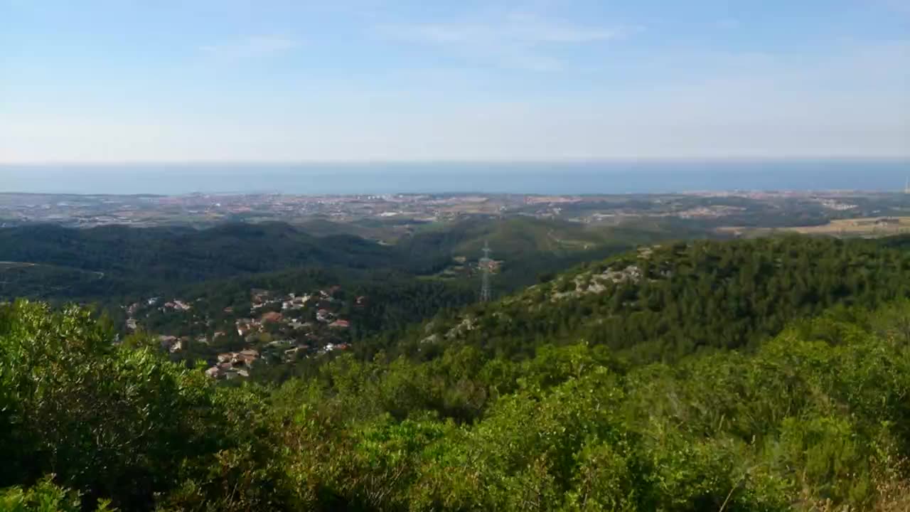
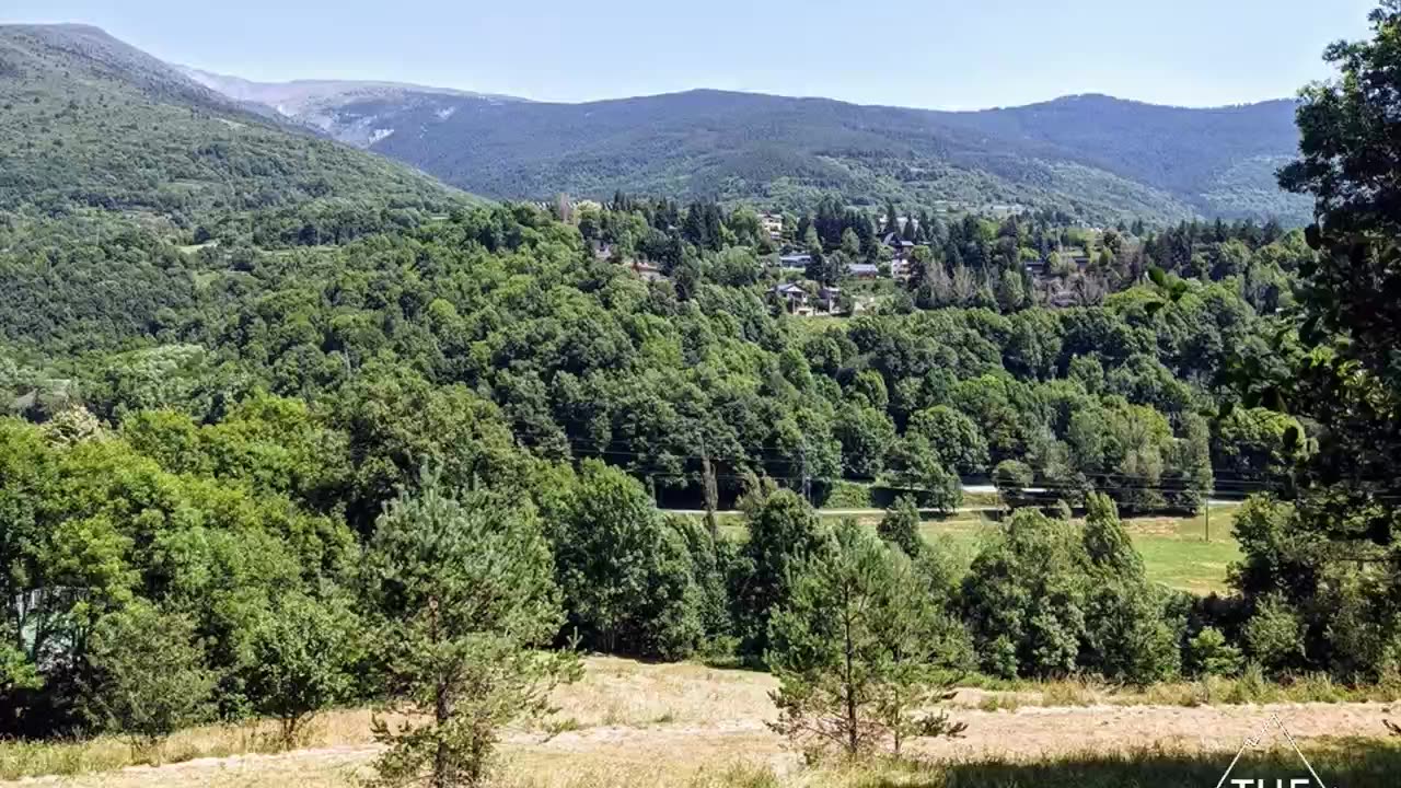
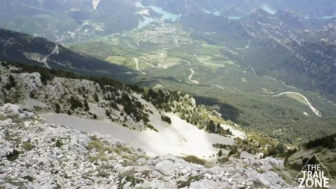

With the OTR app, anyone can run your routes whenever they like, with automatic timing and rankings.
Tell us which routes you have or want to create and we will prepare a tailored quote. You will be pleasantly surprised by the prices.