TRAIL RUNNING IN ENCAMP

TRAIL PIC D’ENVALIRA
Total Distance: 10,5 Km
Elevation gain: 910 m
Start point: Pas de la Casa
Finish point: Pas de la Casa
Min height: 2050 m. (Pas de la Casa)
Max height: 2830 m. (Pic Negre d’Envalira)
Photos in the direction of the route
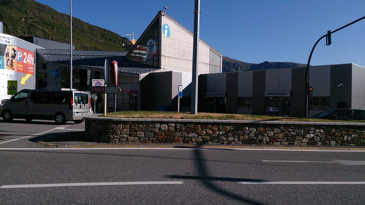
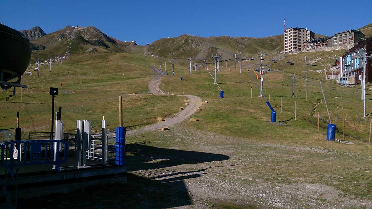
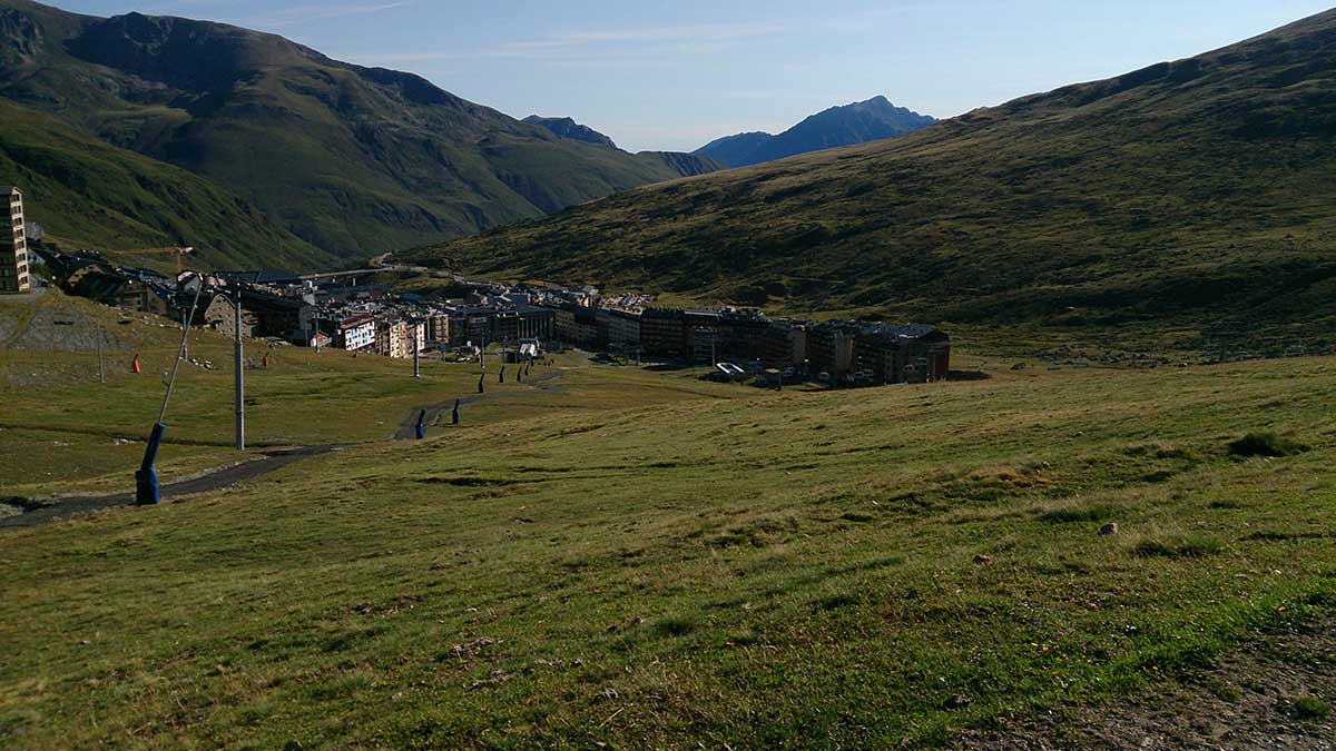
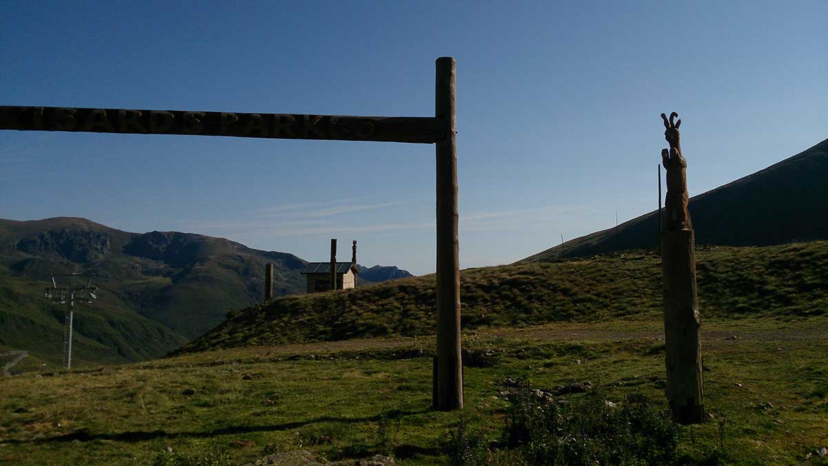
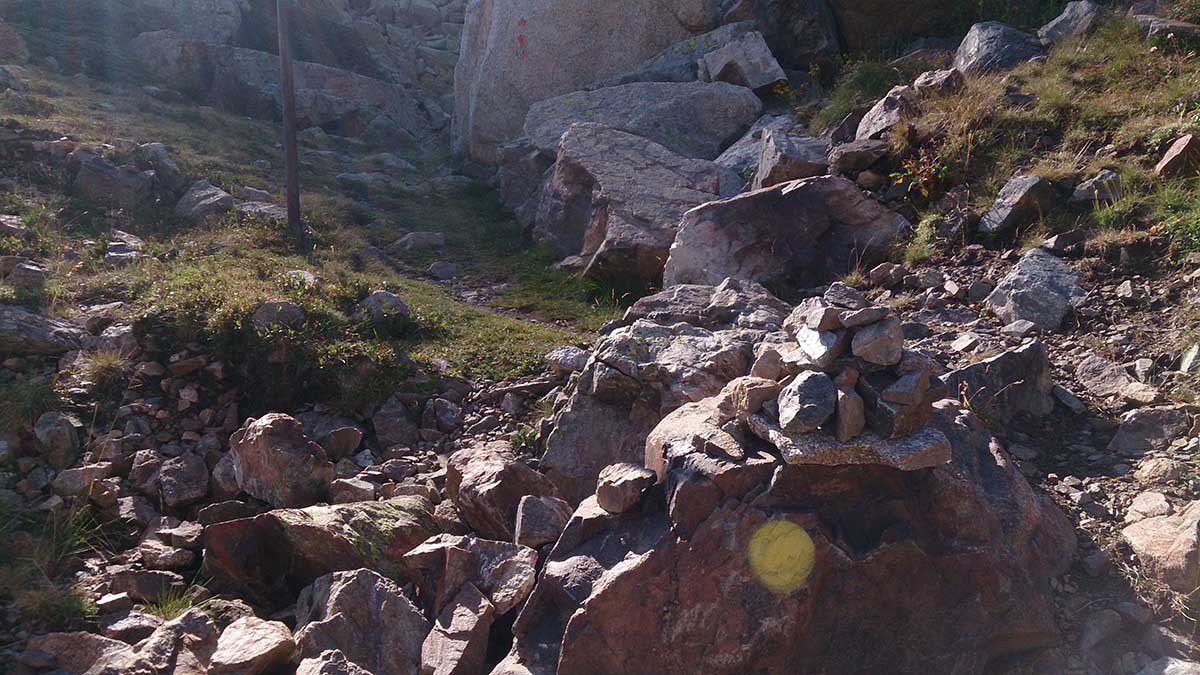
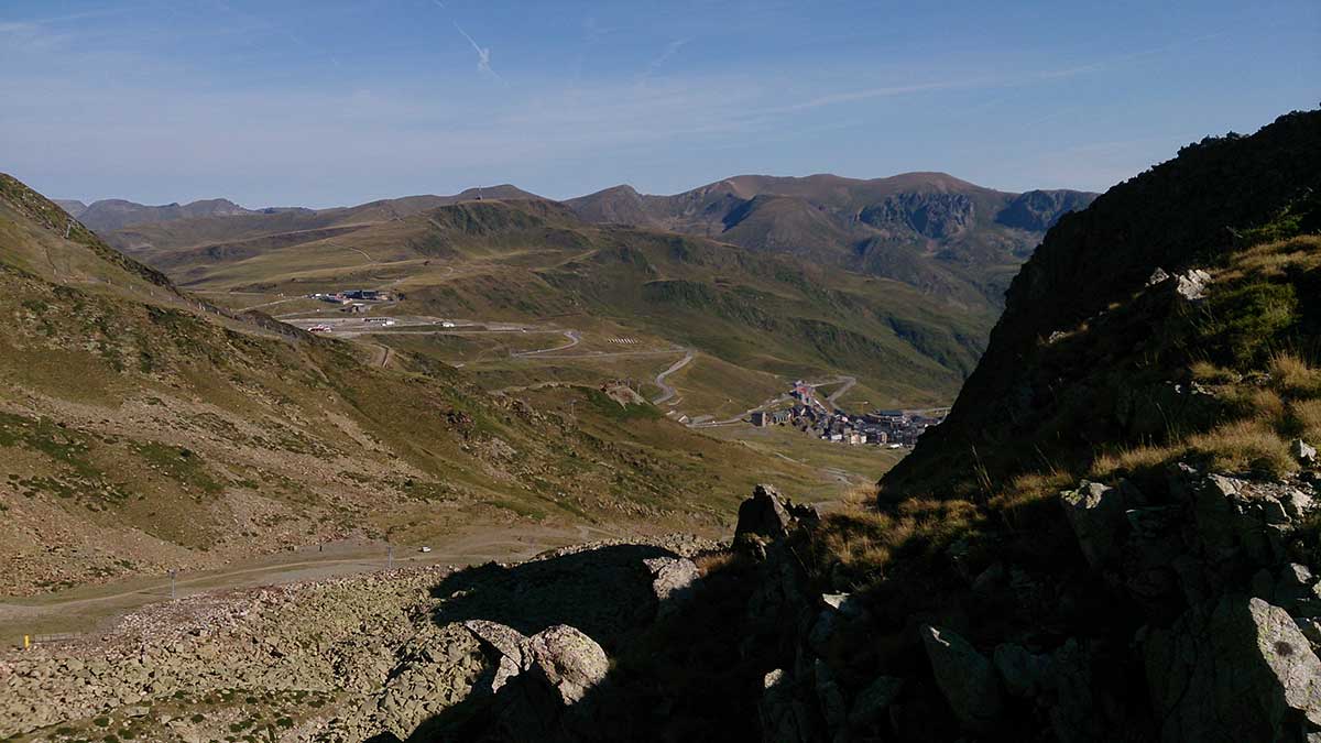
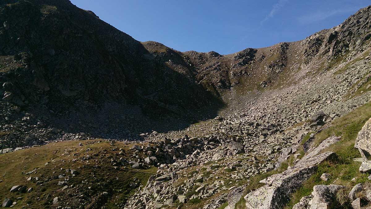
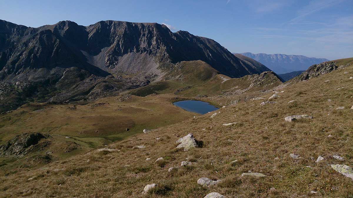
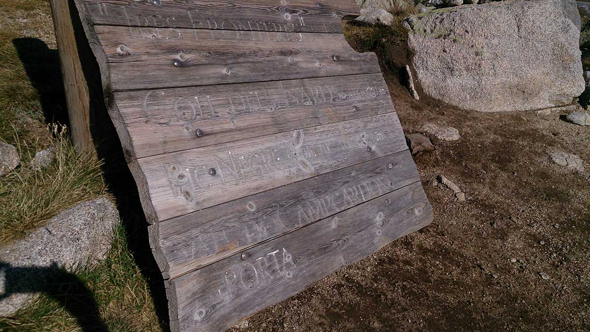
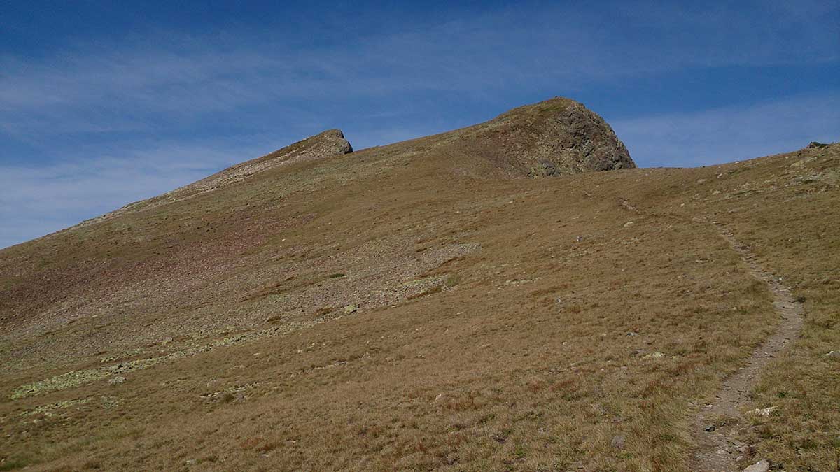
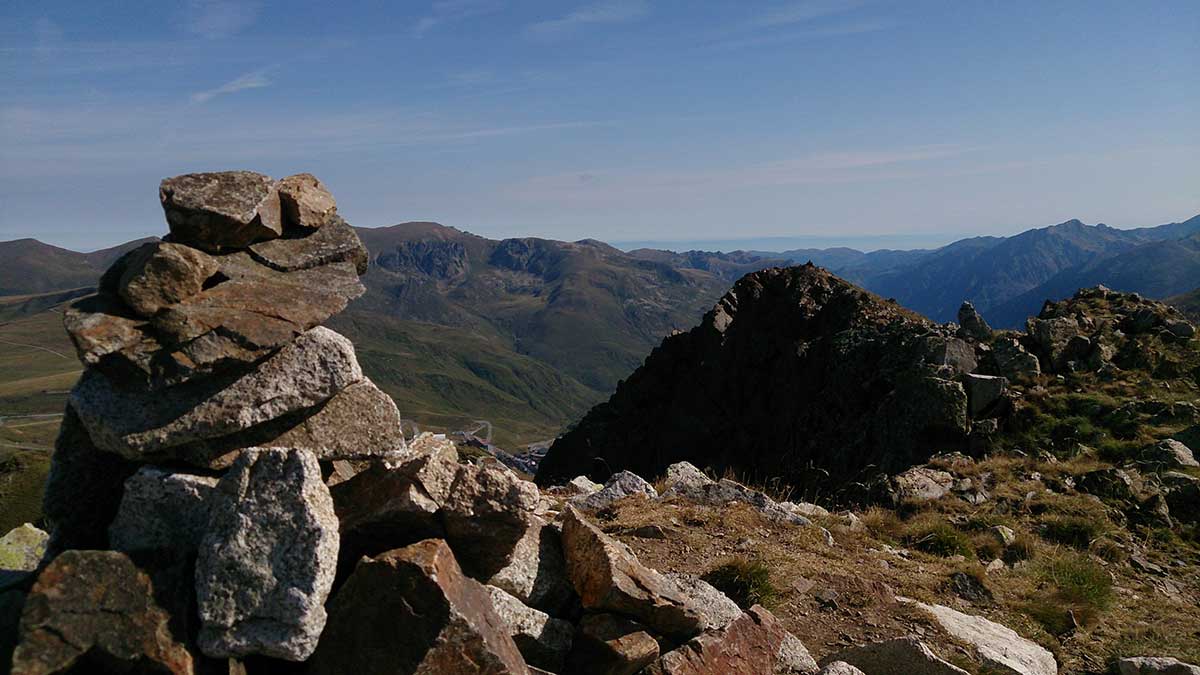
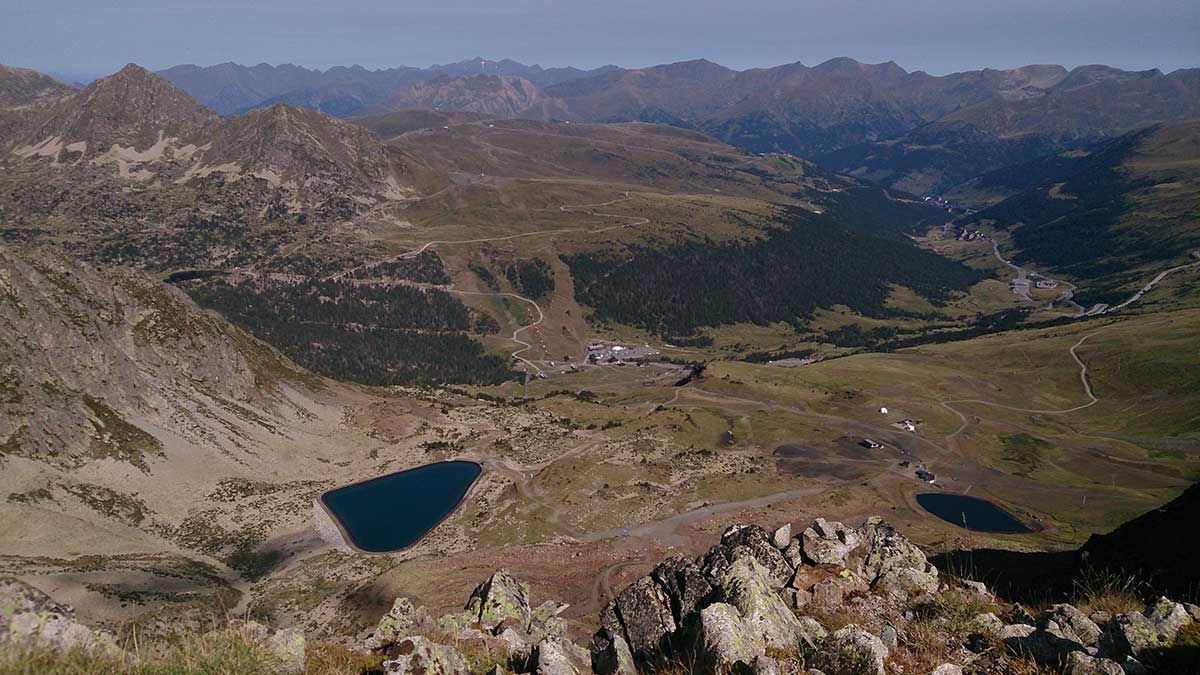
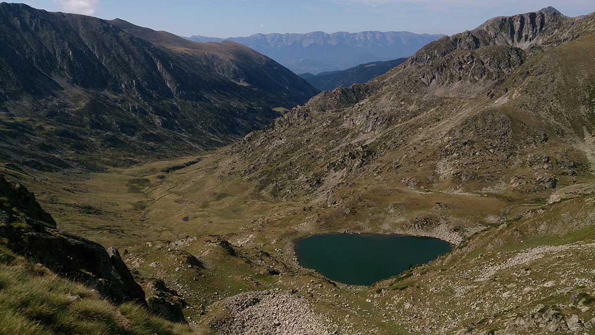
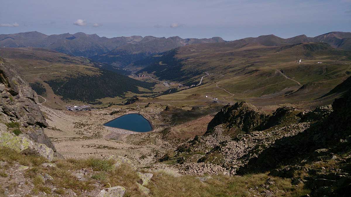
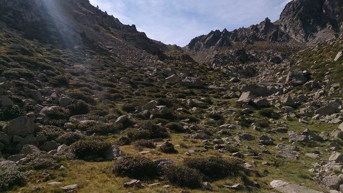
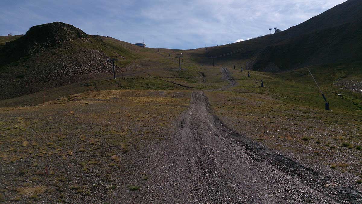
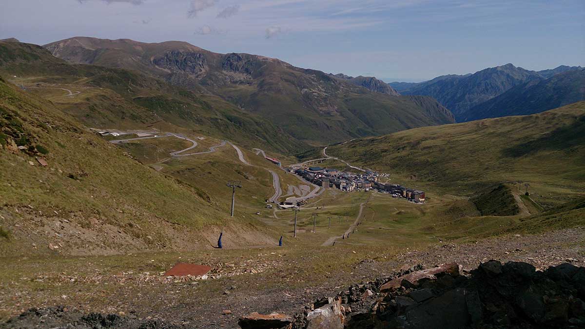
This alpine trail will bring you around Pas de la Casa and Grau Roig. This route is not recommended during winter and spring, because of the likelihood of snow.
The route starts from the Tourist office in Pas de la Casa and continues through the main street until you come across a staircase. This is the access to the ski slopes. Follow the first slope you see until you get to “Isard Park”. From there, continue by an uphill path that will take you to Coll dels Isards. Once you have reached the col, turn right and, with no difficulties, you will arrive to Pic Negre d’Envalira.
The descent from the peak will be done from the other side of the mountain. After walking some paths you will reach the Collada de Joan Antoni. The last stretch of the descent starts through a path that seems a bit hidden at the beginning, but it will turn more visible after a while. Along that way you will see some markers that will lead you to an artificial lake.
From here, follow a track that heads to a small col. Turn right and climb straight to Coll Blanc, very easy to identify because of its peculiar buildings. From there, you can already see Pas de la Casa. You just have to go down for a few meters and you will be back to the starting point
WATER: All needed water facilities are available in Pas de la Casa.
TOURISM: Pas de la Casa.