TRAIL RUNNING IN ENCAMP

Keep in mind that weather forecasts in high mountains may be different.
TRAIL ALT DEL GRIU
Total Distance: 20 Km
Elevation gain: 1800 m
Start point: Encamp
Finish point: Encamp
Min. height: 1250 m. (Encamp)
Max. height: 2876 m. (Alt del Griu)
Photos in the direction of the route
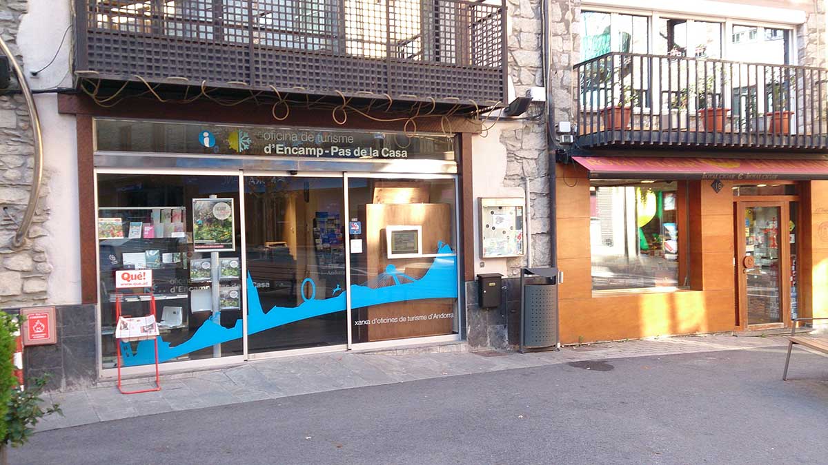
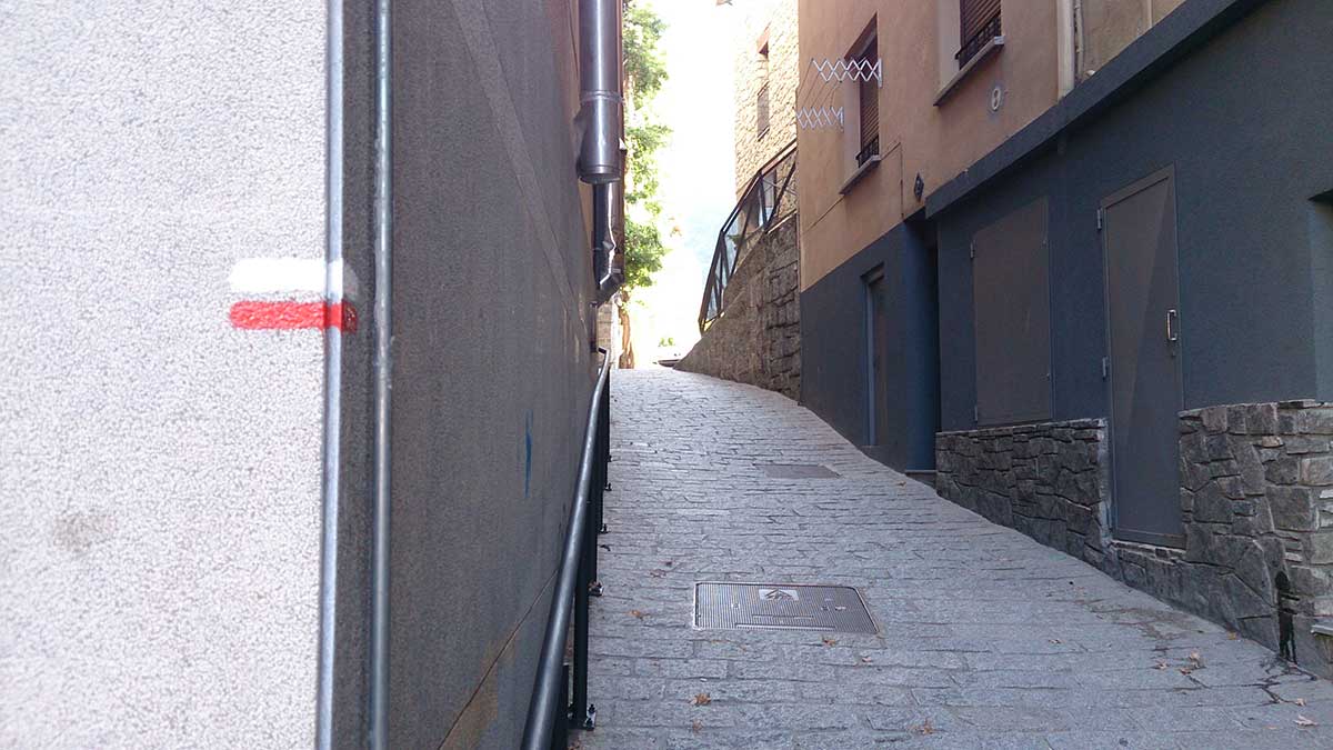
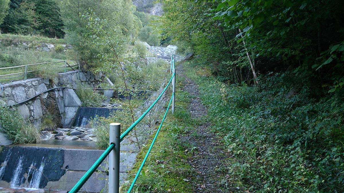
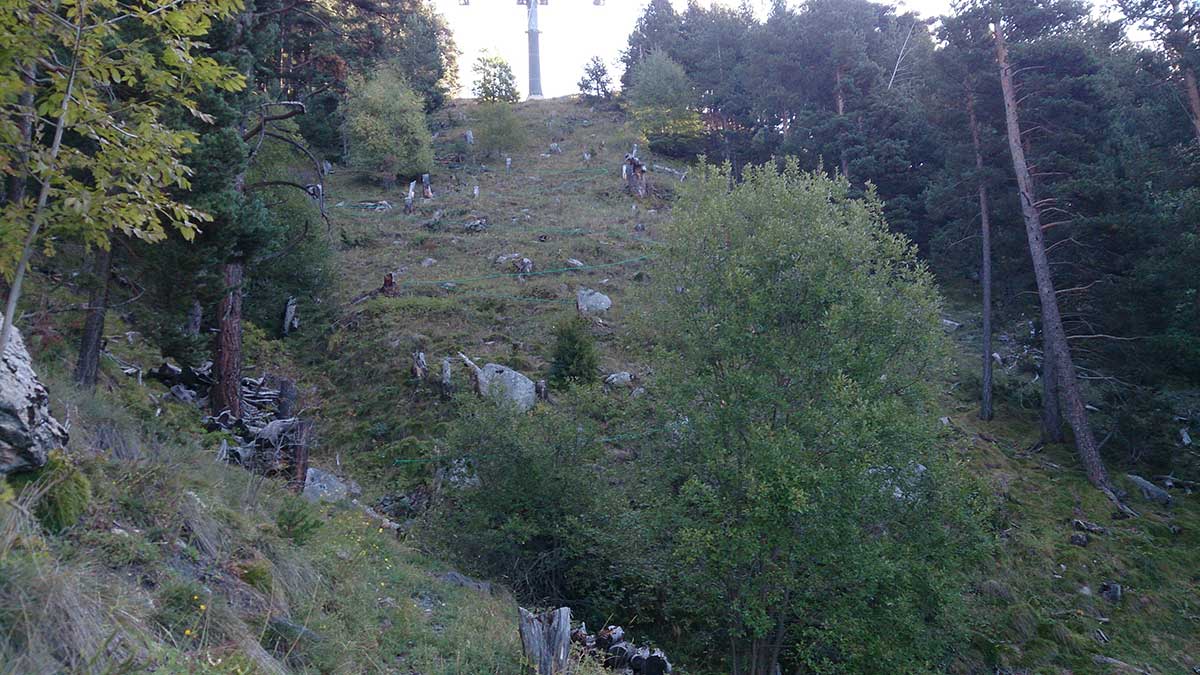
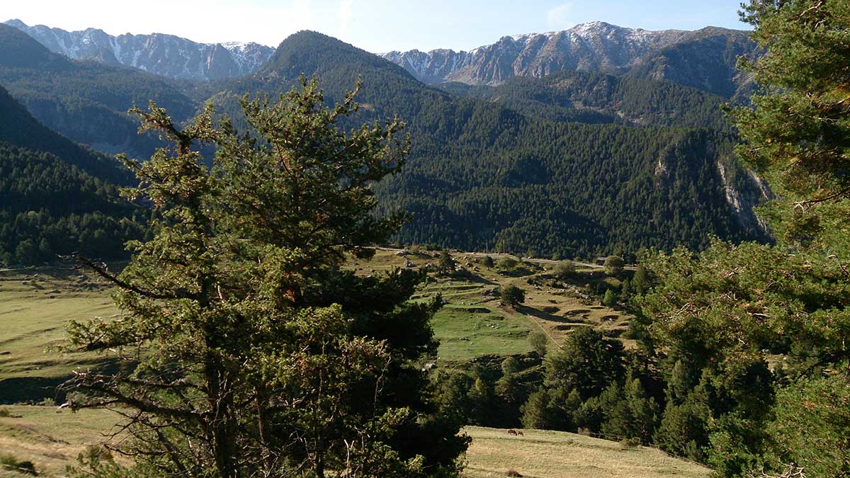
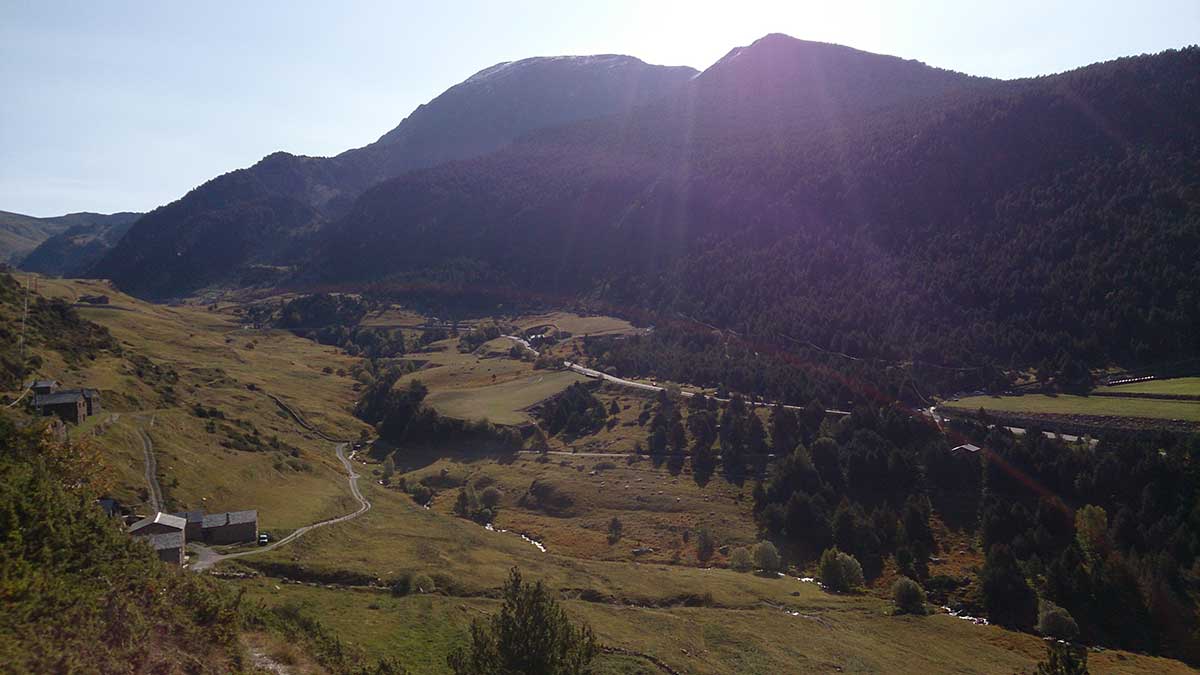
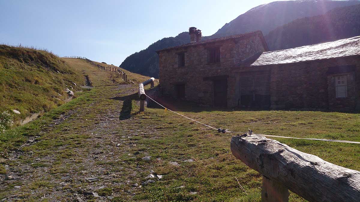
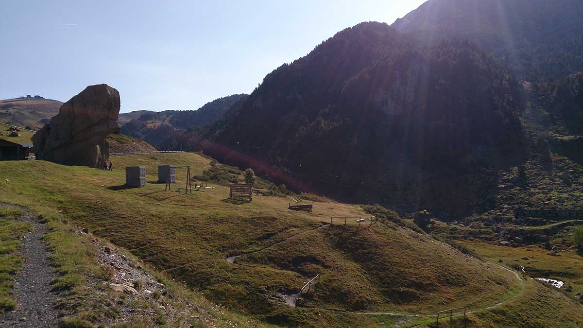
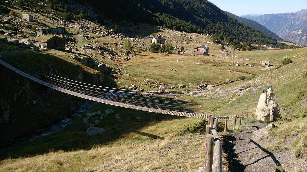
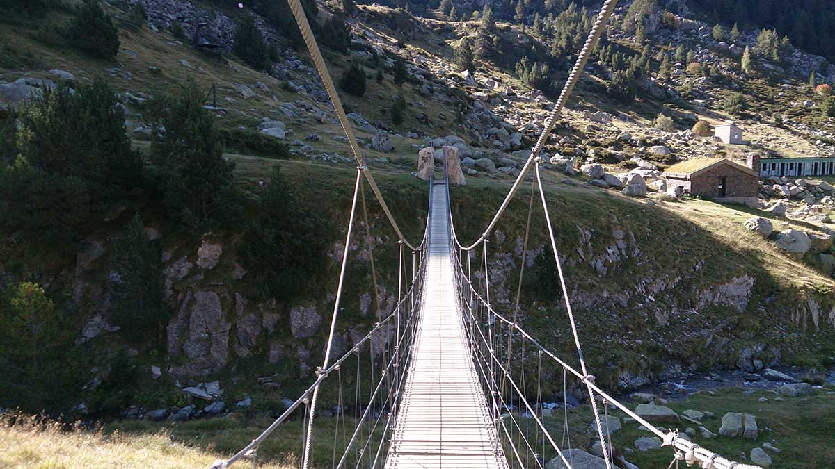
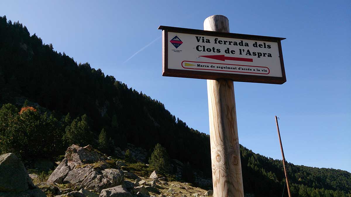
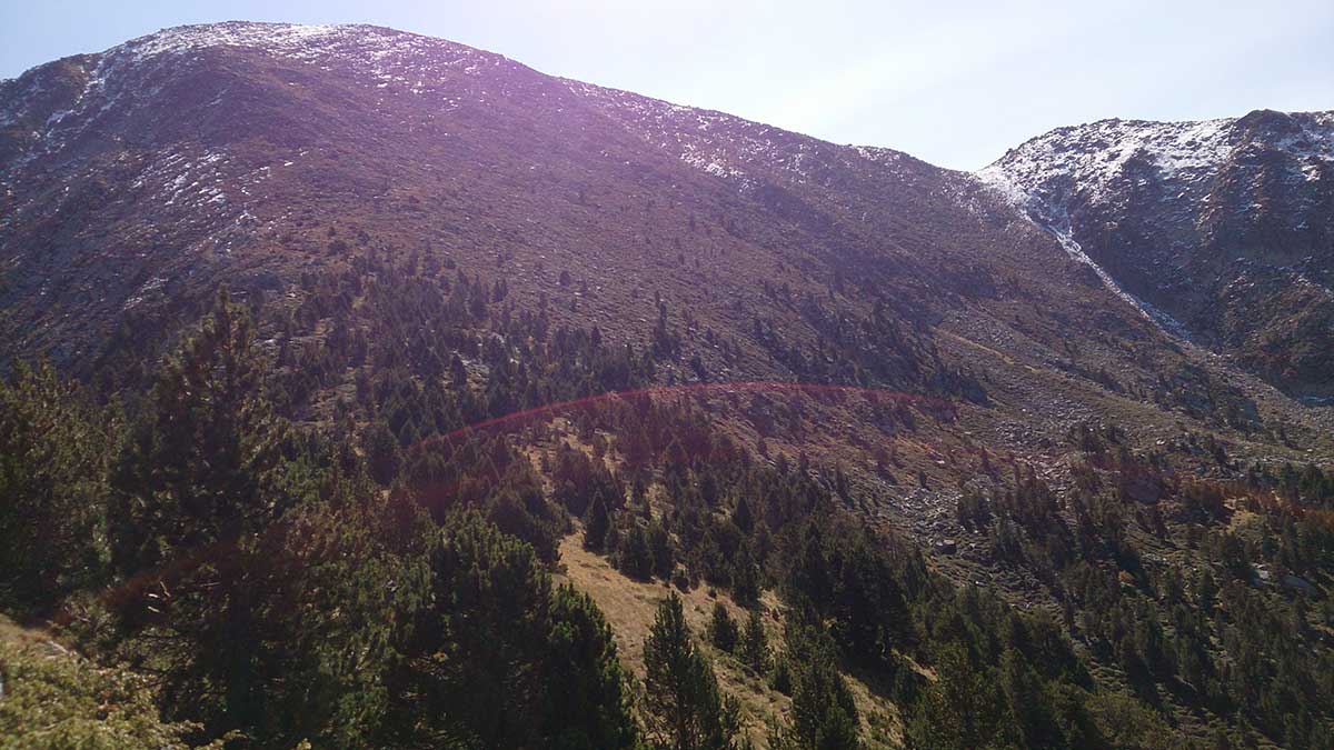
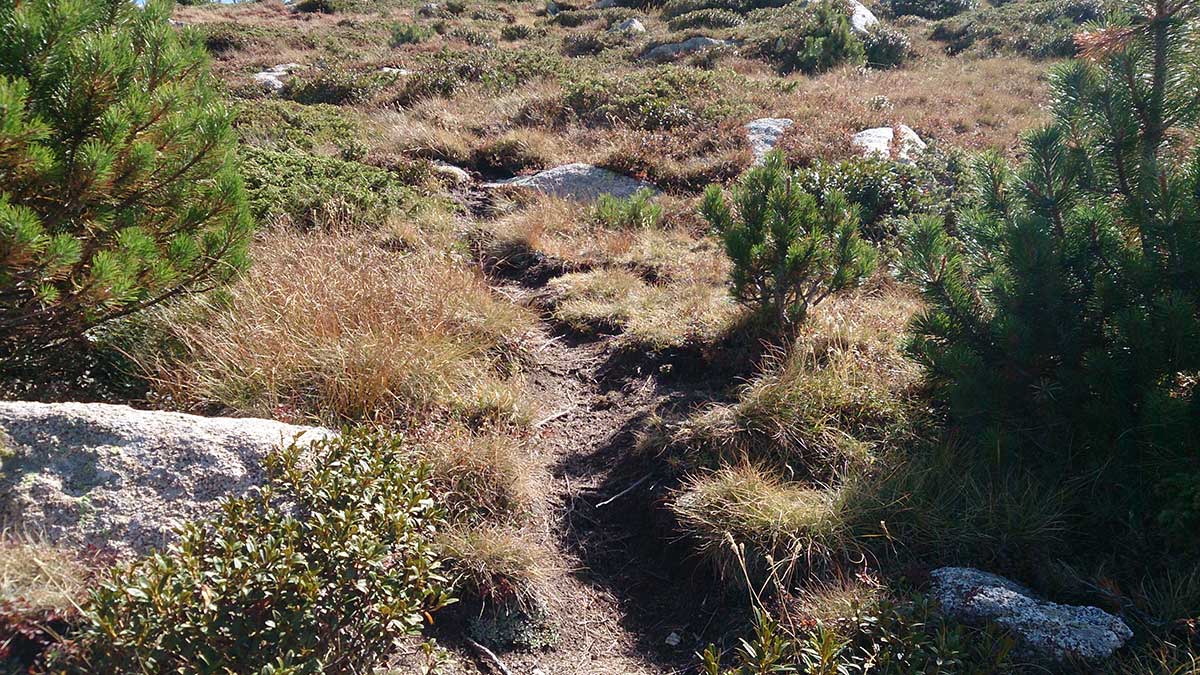
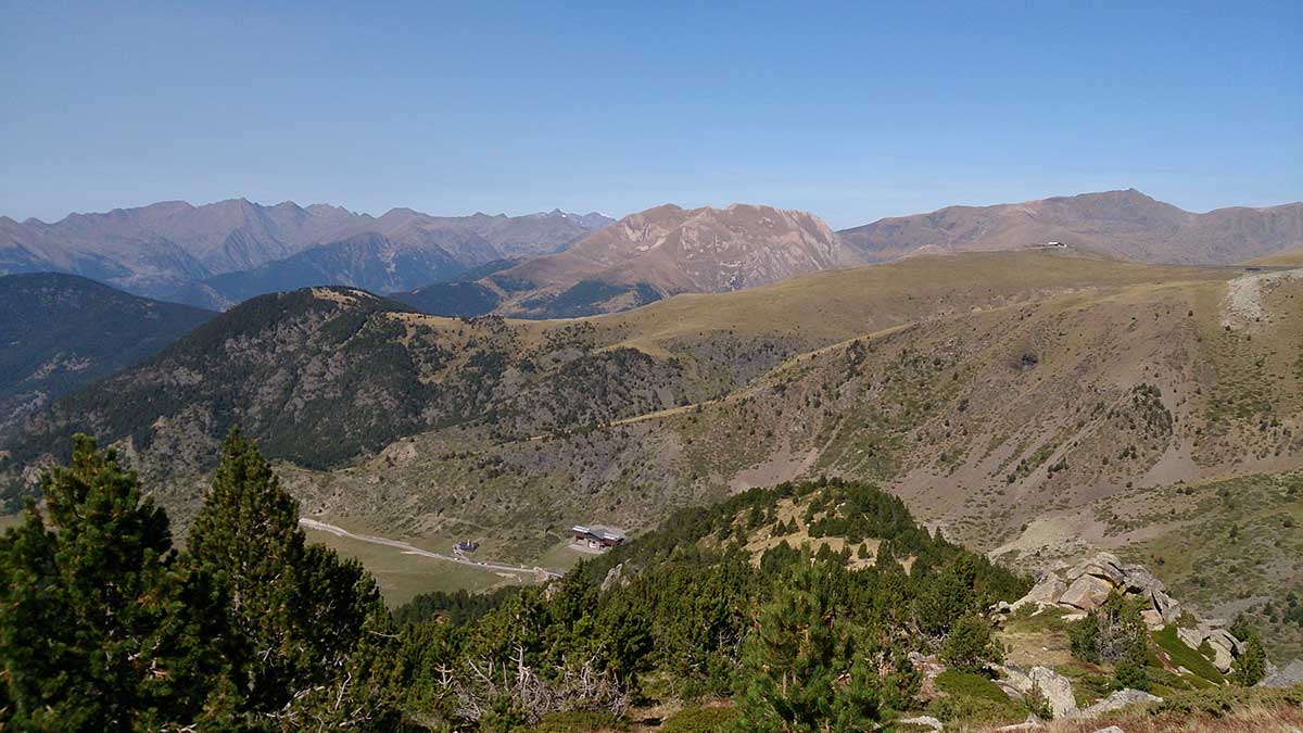
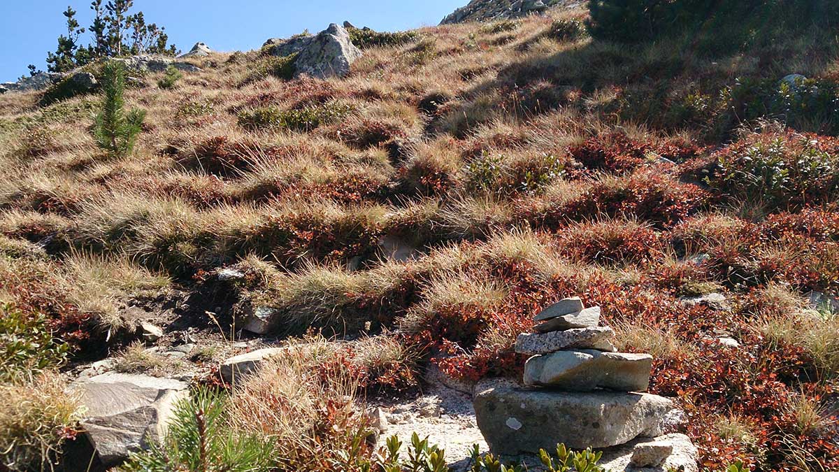
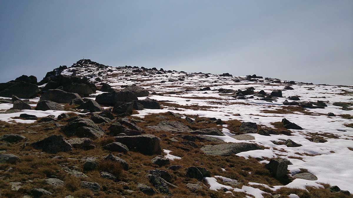
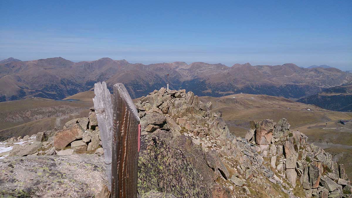
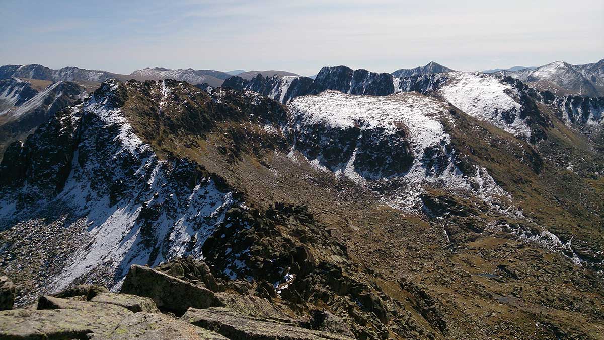
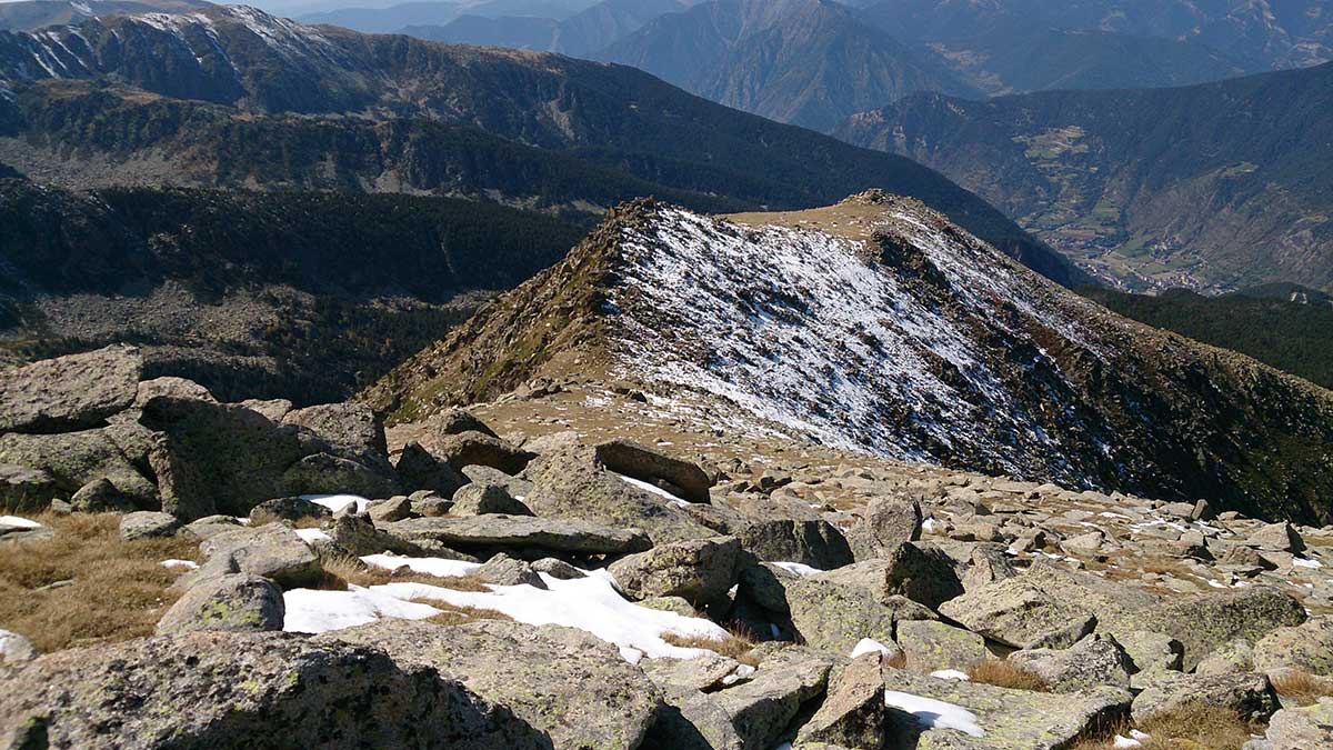
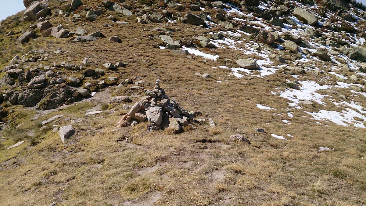
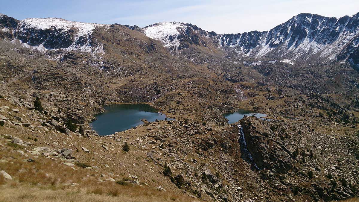
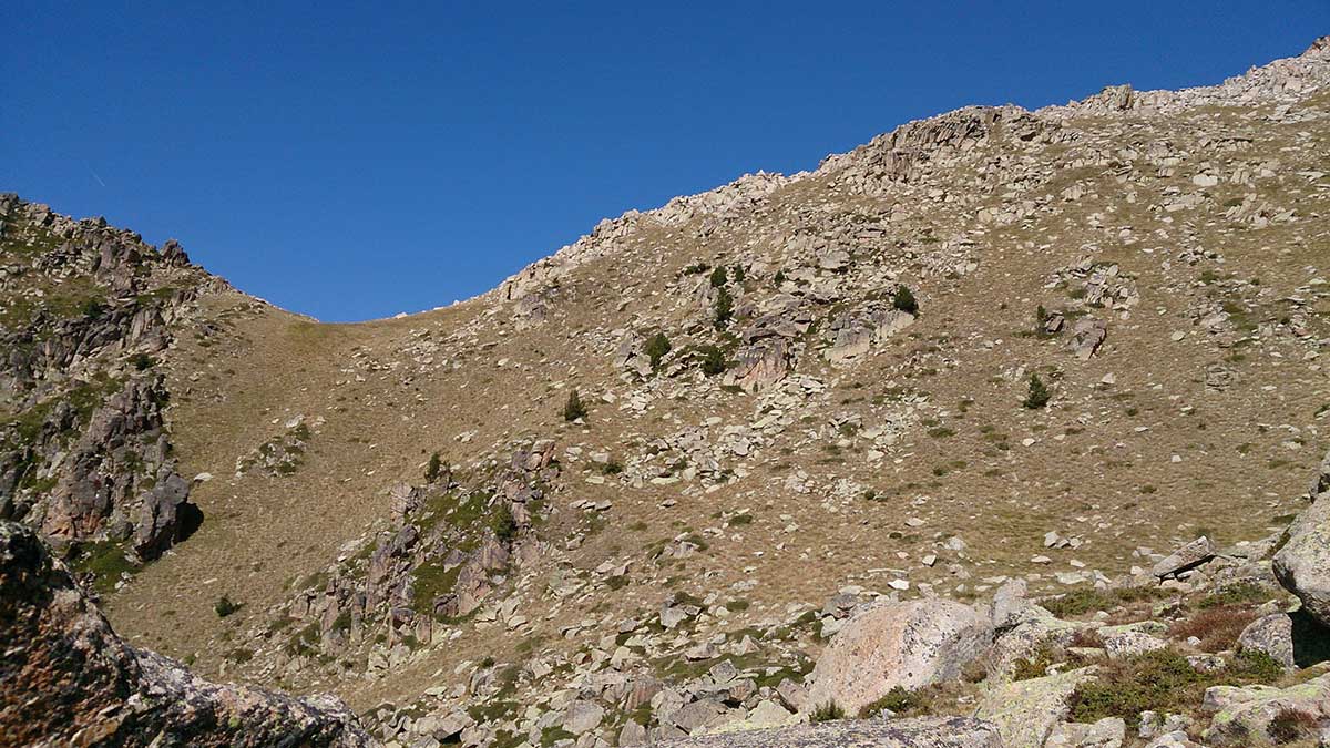
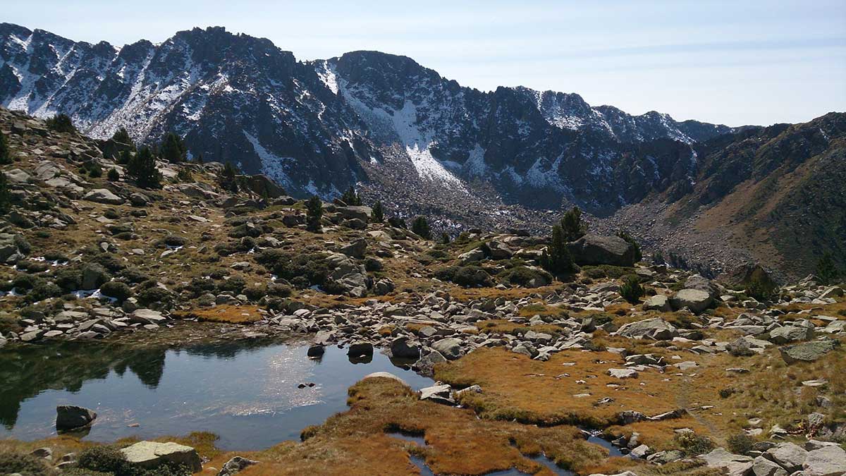
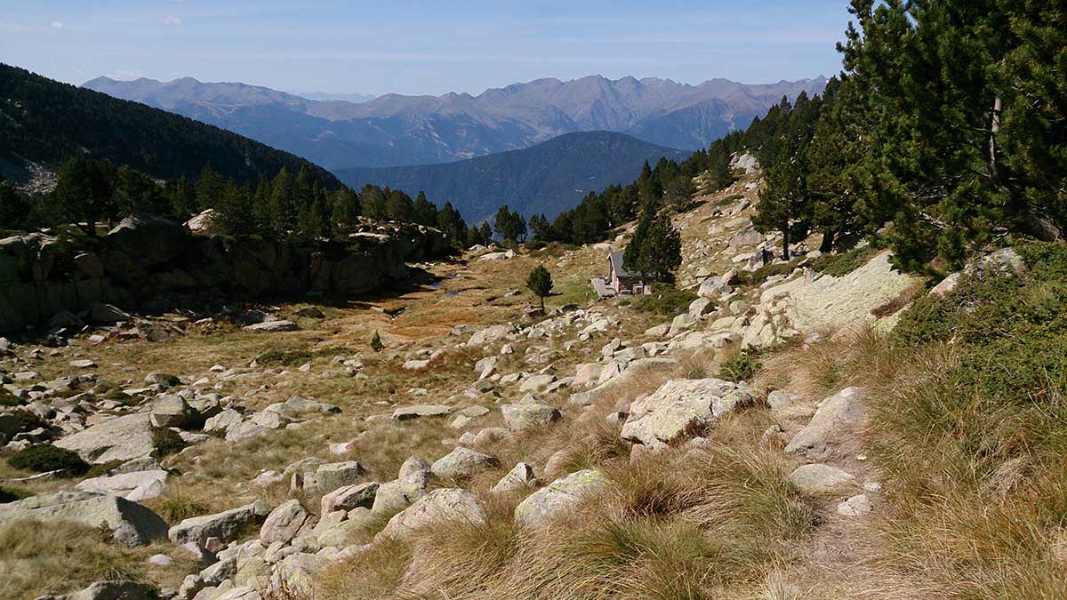
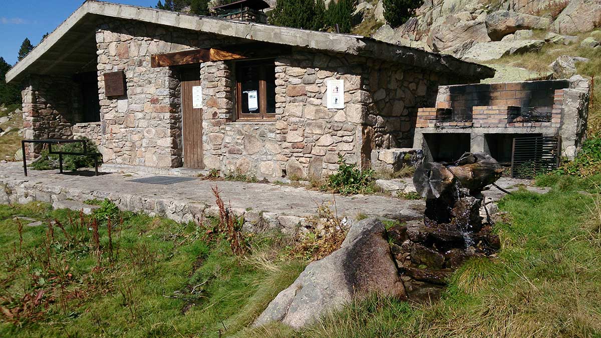
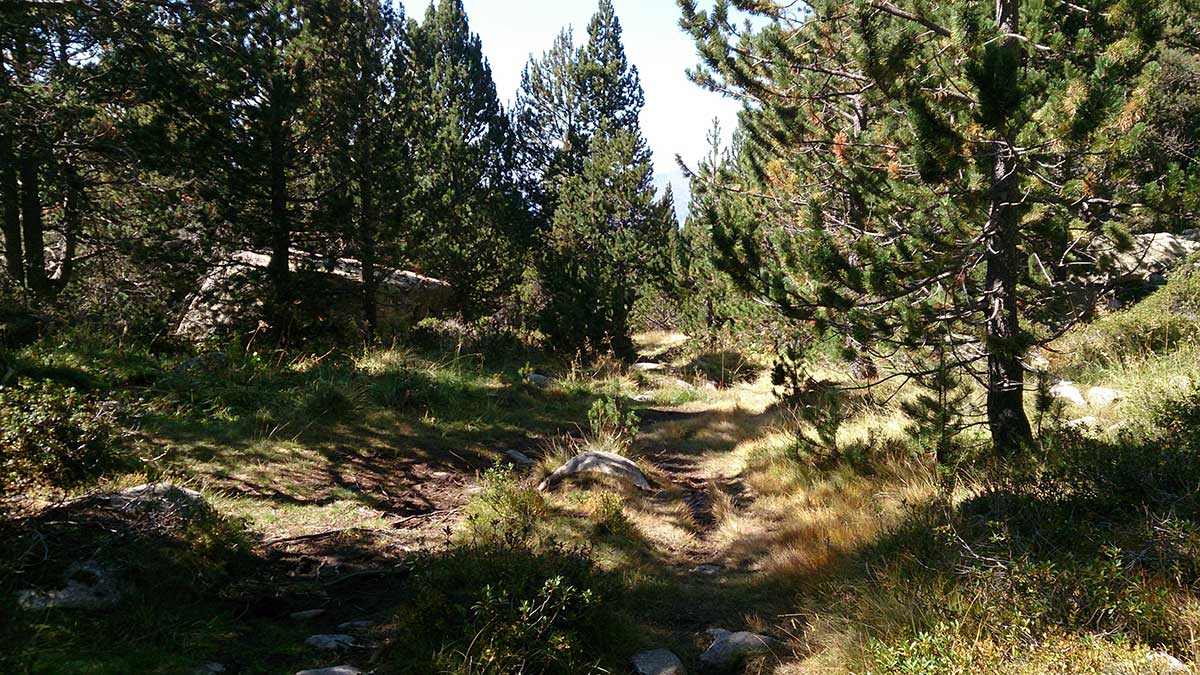
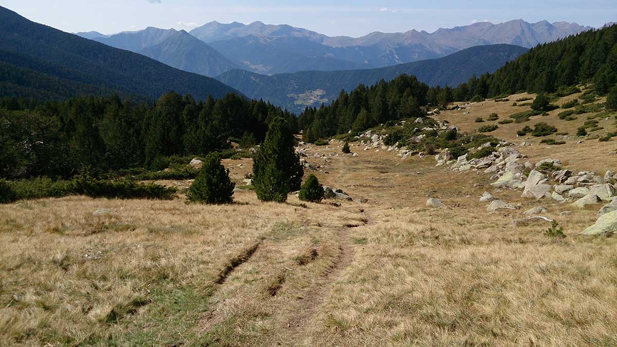
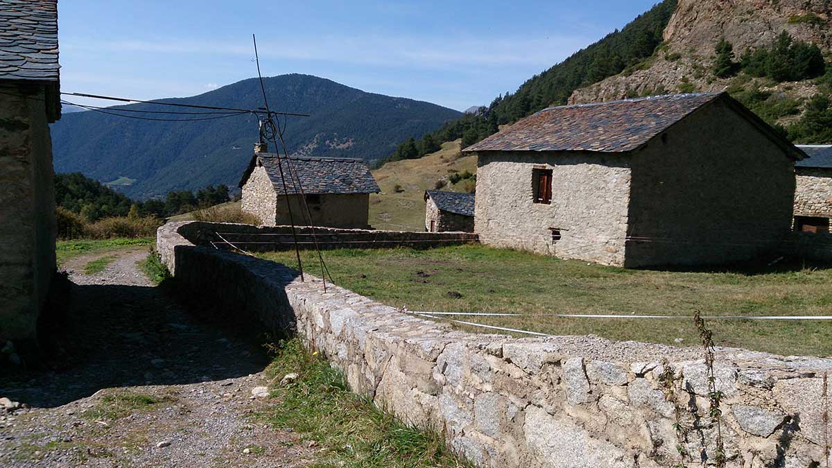
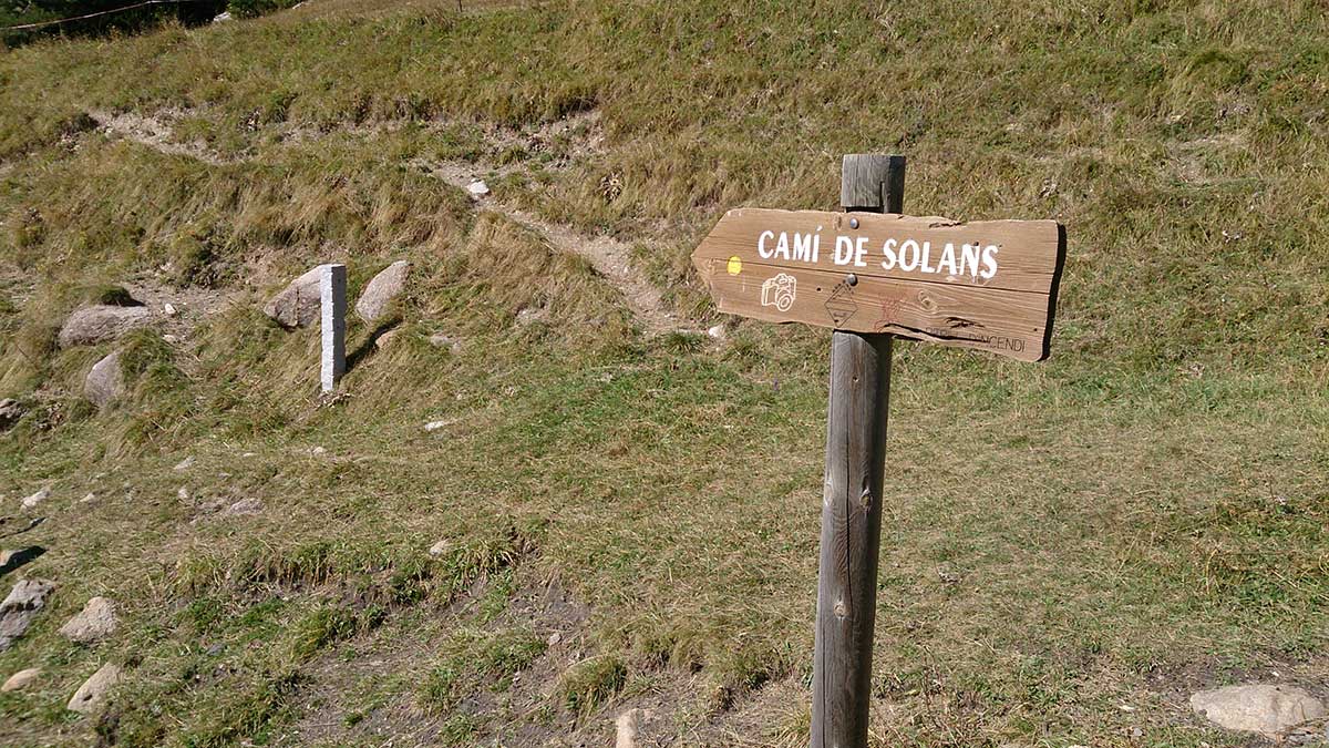
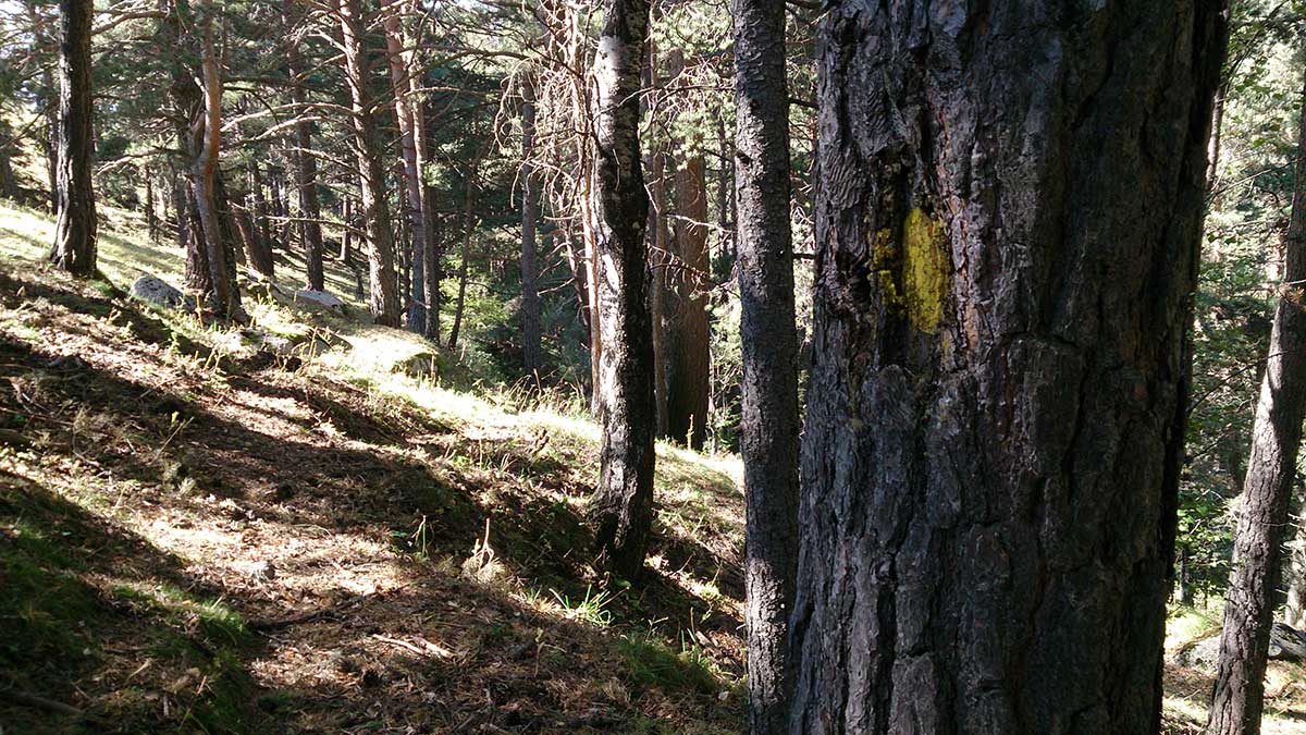
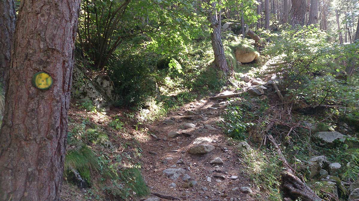
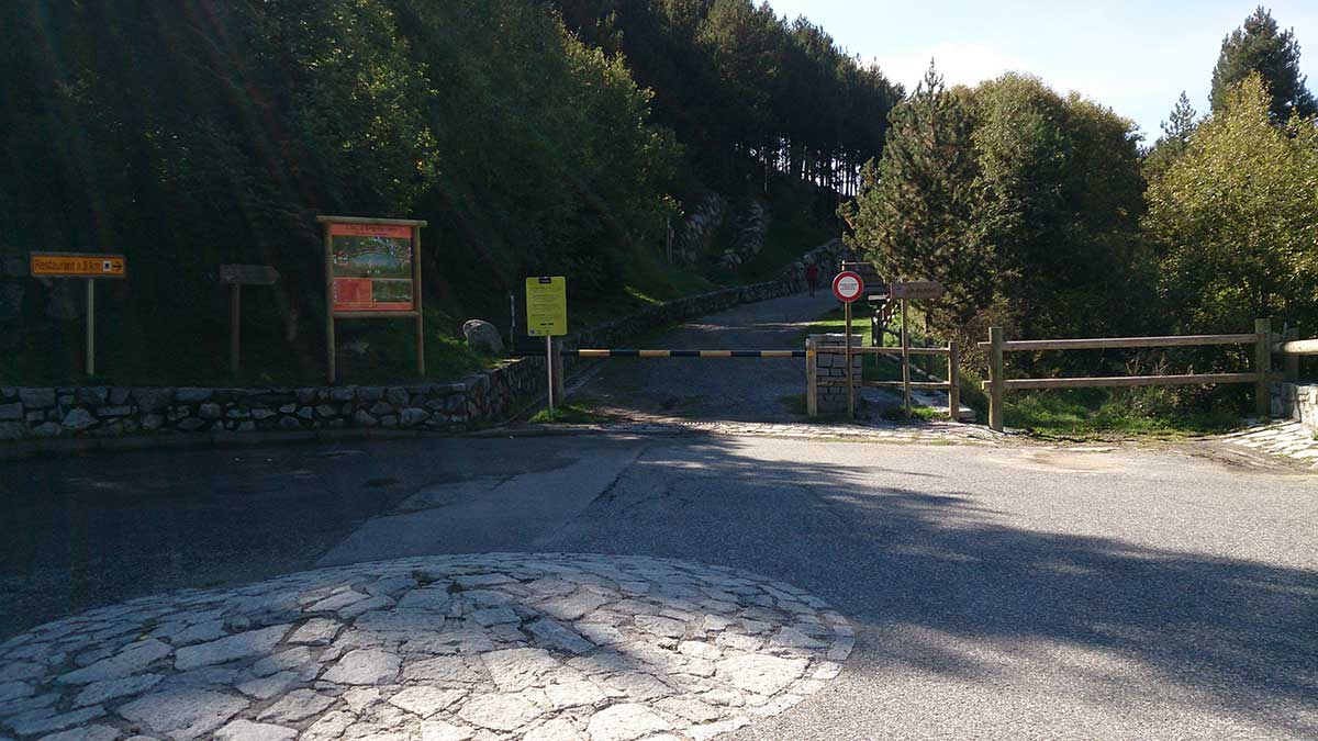
Demanding route where we will gain almost all the elevation in the first half of the route, with a tough climb up the evacuation path of the Funicamp. The summit section is very exposed to the wind, so we will always carry warm clothing.
We start the circuit in front of the Encamp Tourist Office, heading towards the Funicamp station. We will cross the road and quickly enter a steep path that will lead us without pause to the Bordes de Rigoder, where the path becomes more gentle until reaching the climbing area and the suspension bridge.
We cross the bridge and then start the second tough climb of the day, on a well-marked trail up to a scree slope, where we will climb up a grassy channel that will leave us on the wide ridge.
From here we will find cairns that we will follow to the summit, first through a meadow and finally over boulders.
We will reach the summit and quickly descend to the Collada d’Entinyola, where we will find a large cairn, and turn left to reach the Refugi Lliure d’Ensagents, after passing by the lakes of the same name.
From the refuge, always on a well-marked trail, we will reach the Carretera dels Cortals, which we will cross, and then take a path that in a steep descent will lead us to Les Pardines and then back to the starting point.
Water: All services in Encamp. Fountain at Refugi d’Ensagents. Fountain at Les Pardines. Streams and lakes where we can cool off.