TRAIL RUNNING IN ENCAMP

Keep in mind that weather forecasts in high mountains may be different.
TRAIL VERTICAL BONY DE LES NERES
Total Distance: 3 Km
Elevation gain: 950 m
Start point: Encamp
Finish point: Bony de Neres
Min. height: 1250 m. (Encamp)
Max. height: 2200 m. (Bony de Neres)
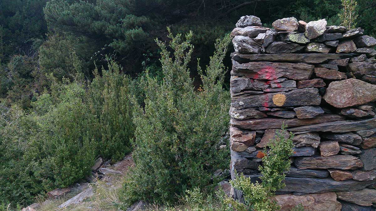
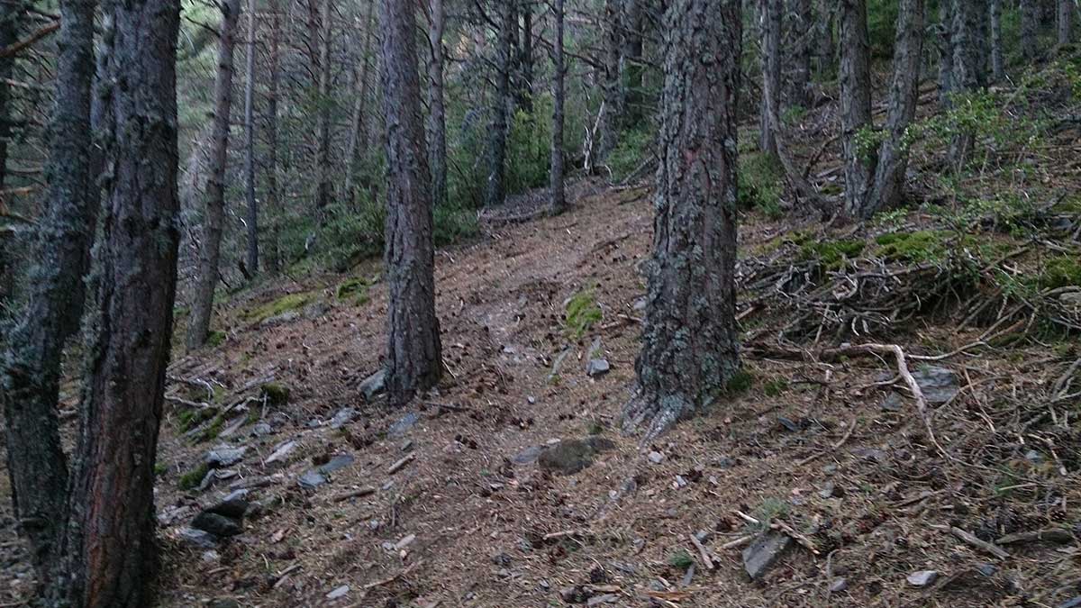
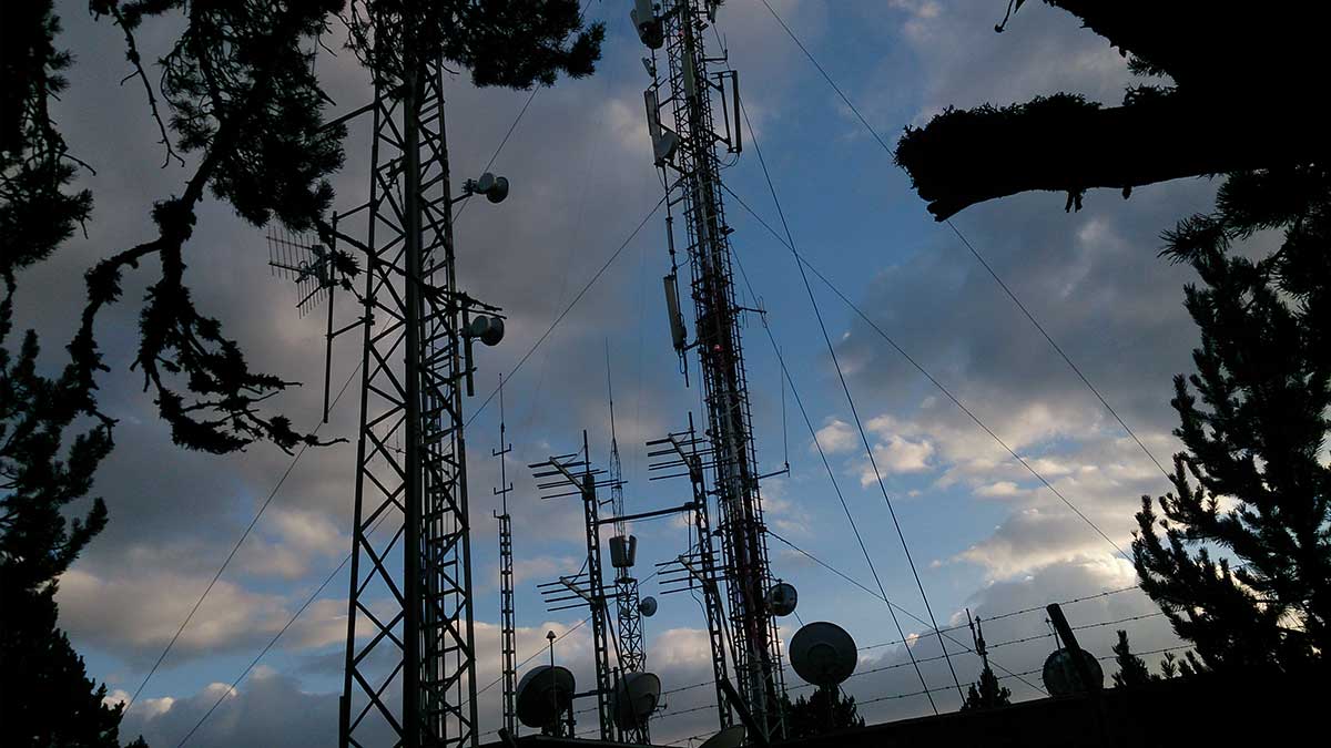
Photos in the direction of the route
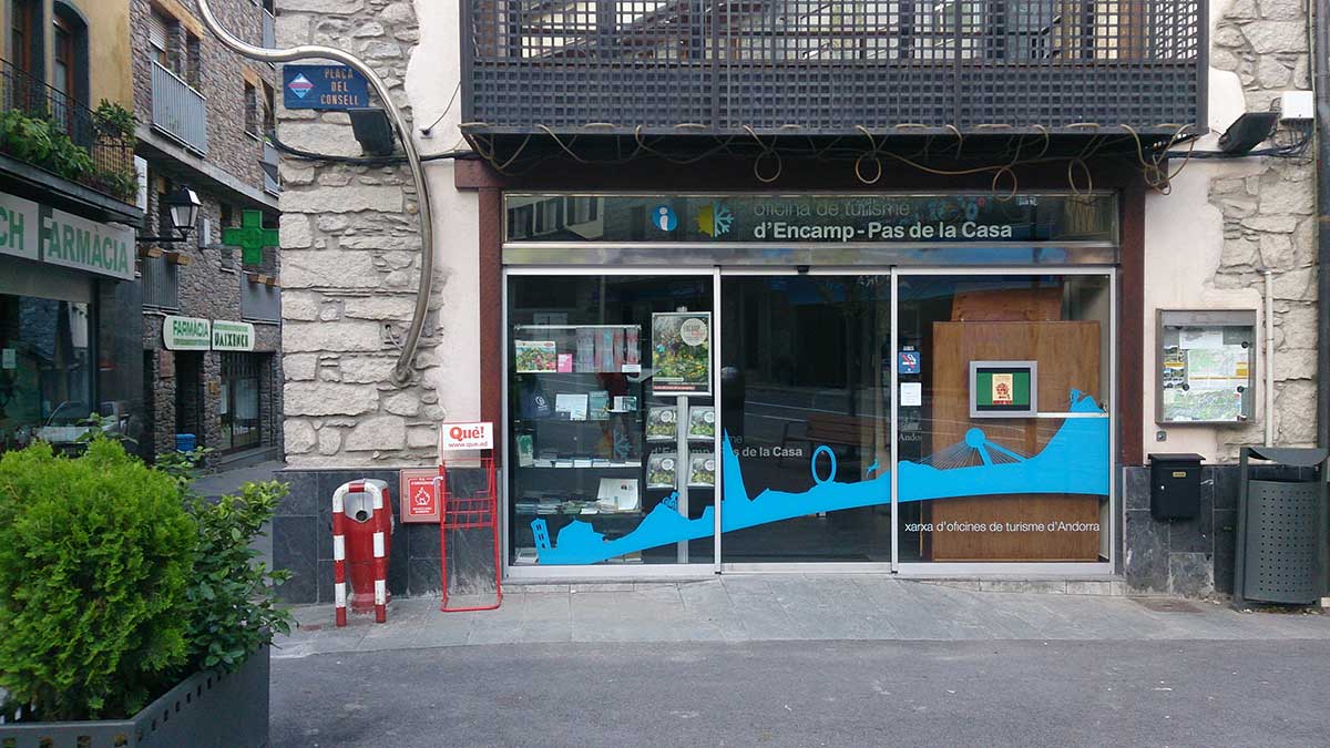
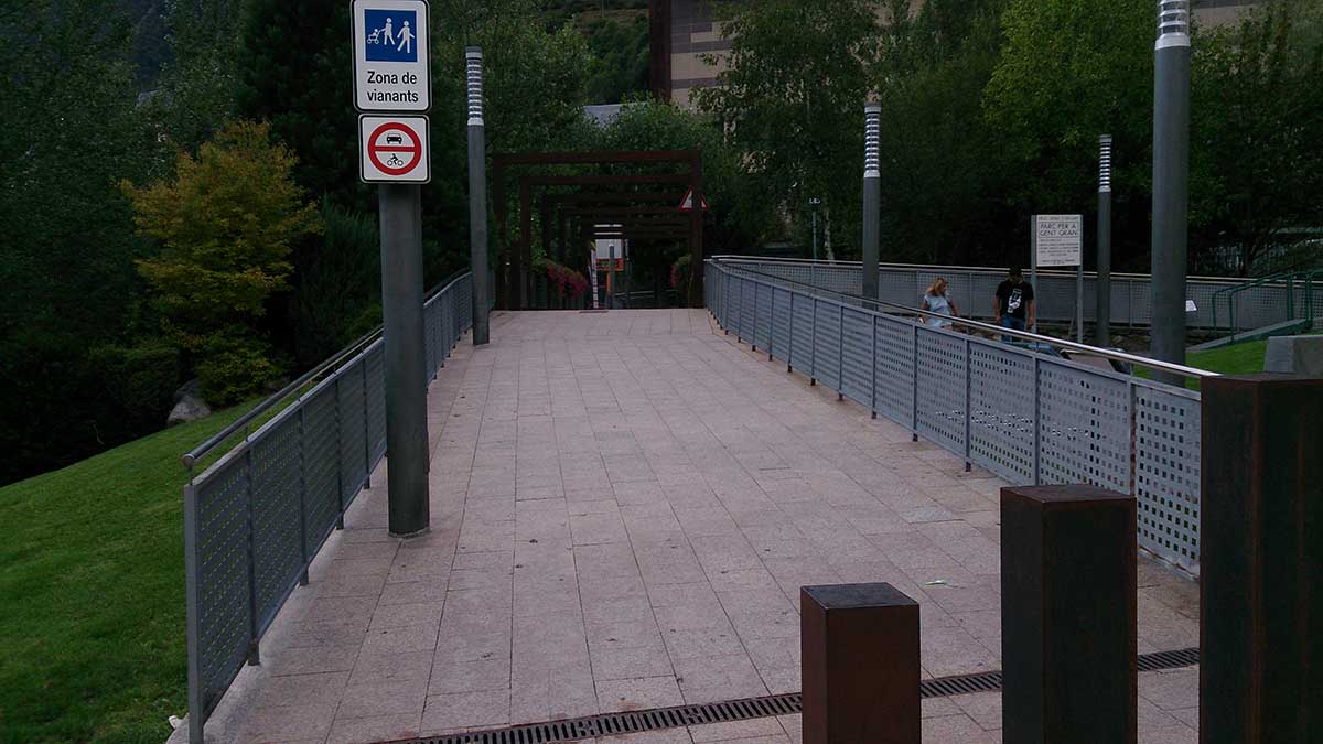
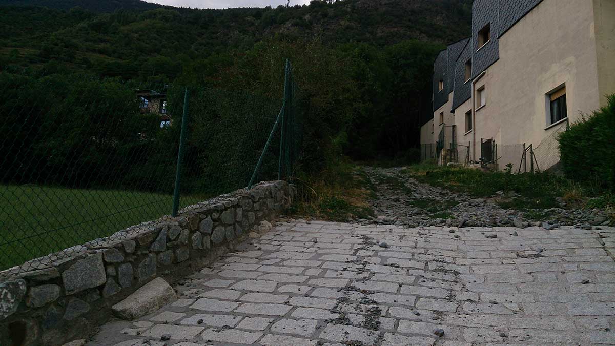
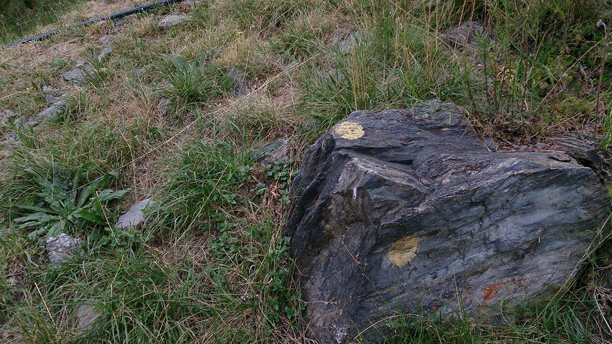
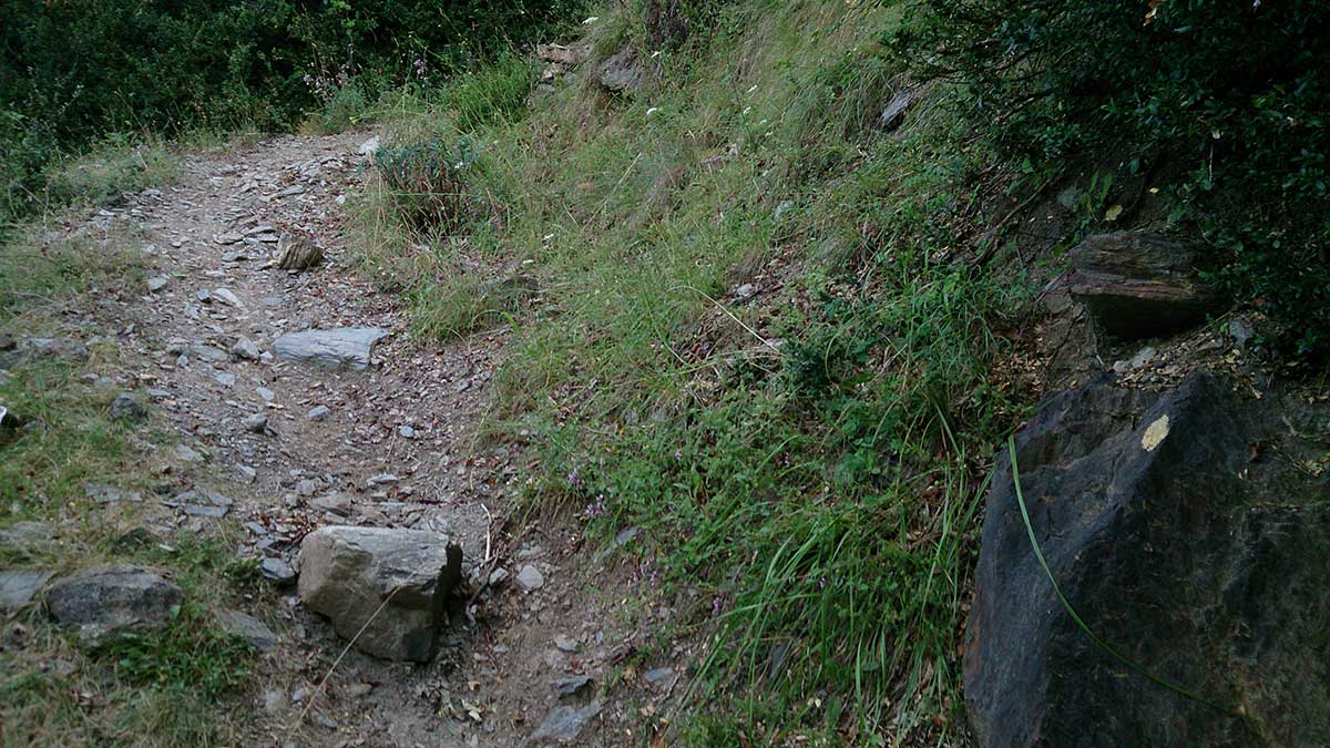
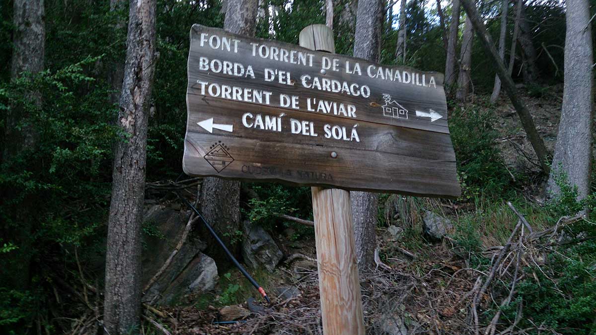
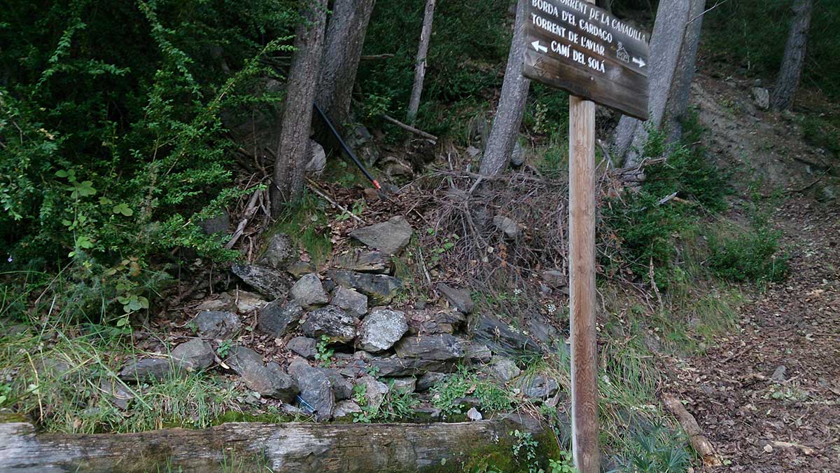
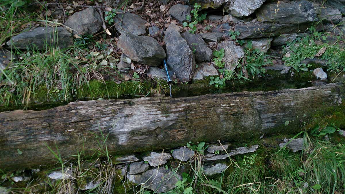
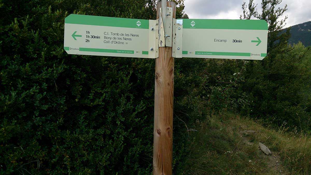
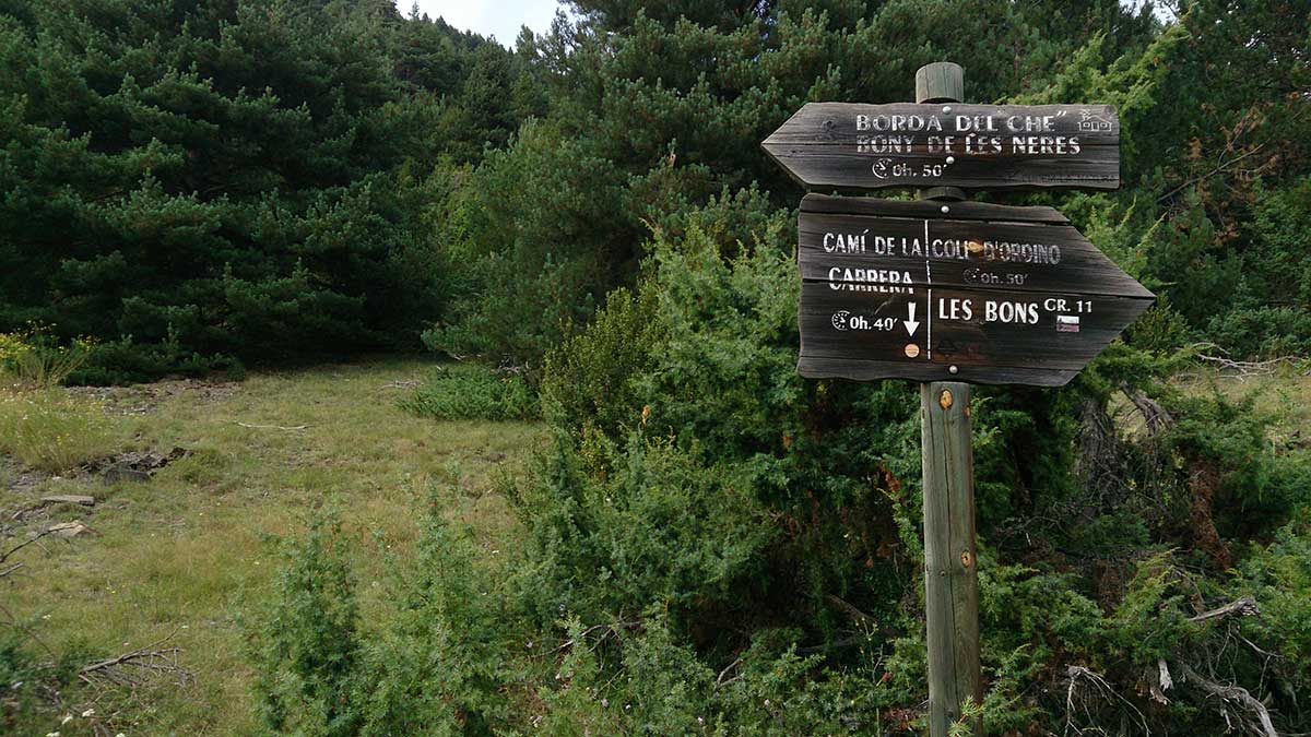
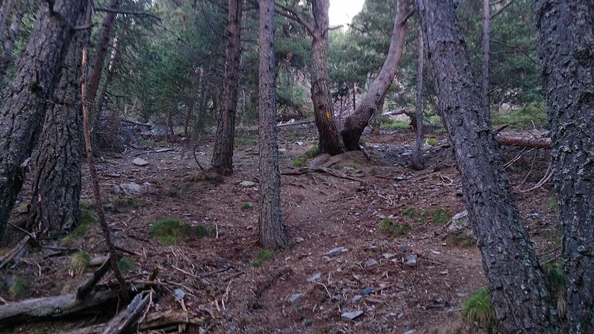
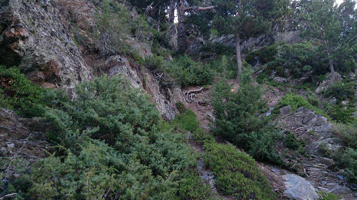
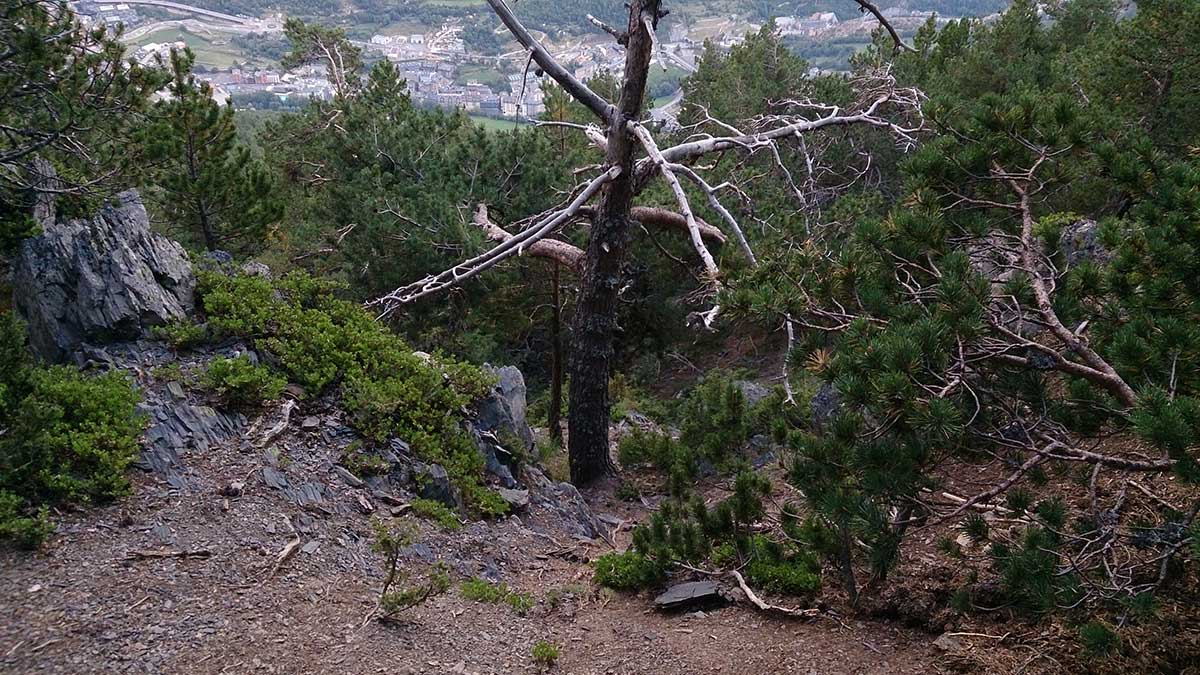
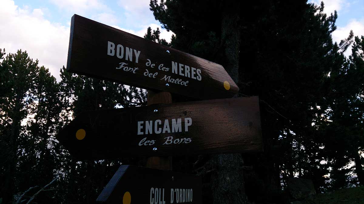
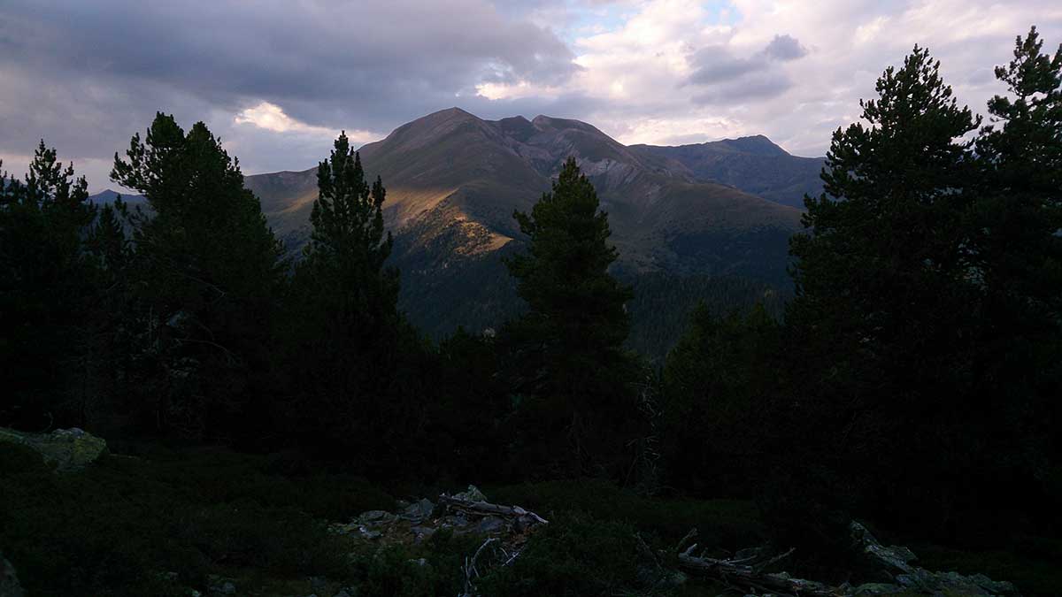
This is a challenging circuit that will bring you straight to the summit through the shortest way.
Starting from the Tourist office, move towards the Sports Centre. Behind that building, you will start the steep ascent. Keep following the uphill path until you come across a fountain.
Continue by the path on the left of the fountain and follow the yellow markers that will guide you along the rest of the continuous ascent. In the last stretch, you might need to use your hands to keep climbing.
After a short flatter section, you will get to the antennas that are placed in Bony de Neres summit.
You can come back to Encamp retracing your steps along the way followed during the ascent. An alternative way would be heading to Coll de Ordino and, from there, following the GR track (long-distance trail) that will take you back to Encamp.
WATER: All needed water facilities are available in Encamp. There is a fountain at 1600 meters height.
TOURISM: Encamp.