The route
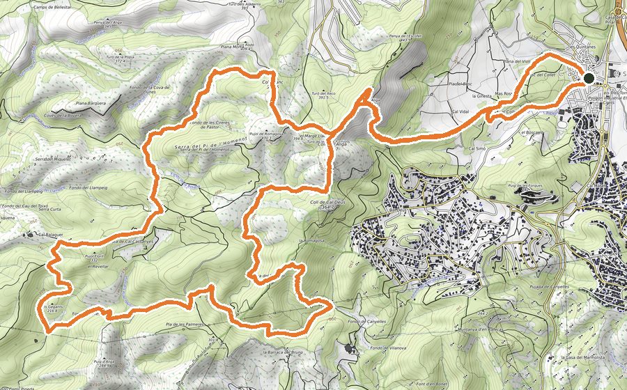
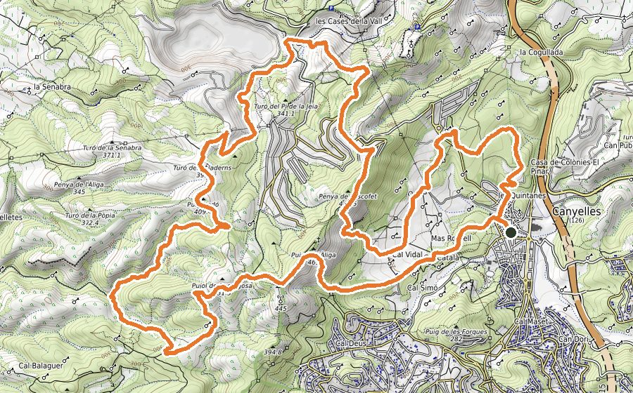
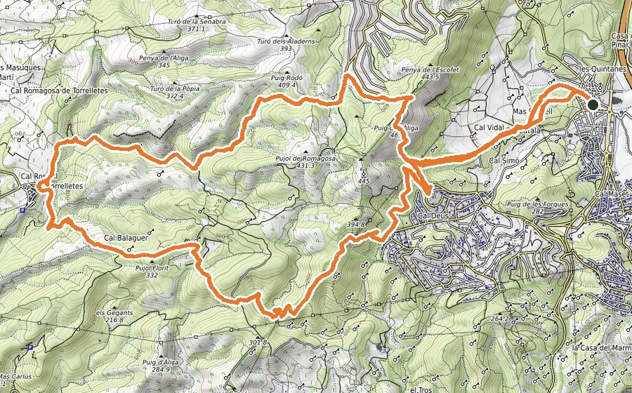
This circuit is divided into three distinct sections. The first one is characterized by its easy to follow paths, with almost no gradient; on the second stretch you will complete the majority of the ascent (by paths and technical trials); the last section should be quite easy, going downhill most of the time.
Starting from Plaça del Casal, go across the town until you turn right in the first street you find, passing in front of the ADF. Leaving the paved ground behind, follow the wide path that gently ascends. Keep moving through that path that eventually will narrow and, after a succession of turns and a short downhill, you will find a path that goes parallel a stream, just beneath Olérdola Castle.
Walking on constant slope, you will come across a chain which is the entrance to a settlement. Cautiously go through the streets and cross Daltmar road. After that you will continue the route by several paths that will take you around some farmhouses.
Those easy to follow paths will lead you to a small car park area, where you could see a sign-post. Turn right and follow a paved trail on gentle climb for 100 meters, till you reach a farmhouse. Just beside it you will find a path that relentlessly will take you to Pic de l’Àliga, the highest peak of this circuit. To start the descent, there is a short stretch by track that will lead to Turó de les Tres Partions. Keep descending through a technical rocky trial that heads to Coll de les deus. From there, continue straight and you will have to pass some tricky parts where you might need to use your hands.
Continue the descent, passing through the Fondo de los olivos. At the end of this, turn right and follow the slope that steeply rises. Walk that way for around 4 kilometers; section full of twisty paths, with some technical parts and steep climbs.
After all of that, turn right and you will get into a leafy path that will take you quickly to a forest track. When you get to the end of this easy to follow track, there is a short but intense climb, the last one in the route. It will take you to a field with an electric tower and, shortly after, you will be descending by a succession of paths and short tracks, heading back to the starting point in Canyelles.