The route
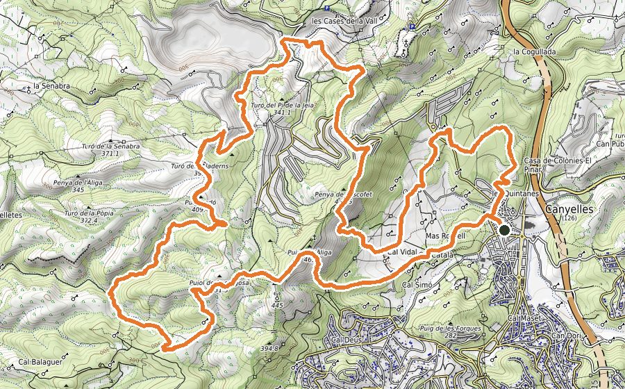
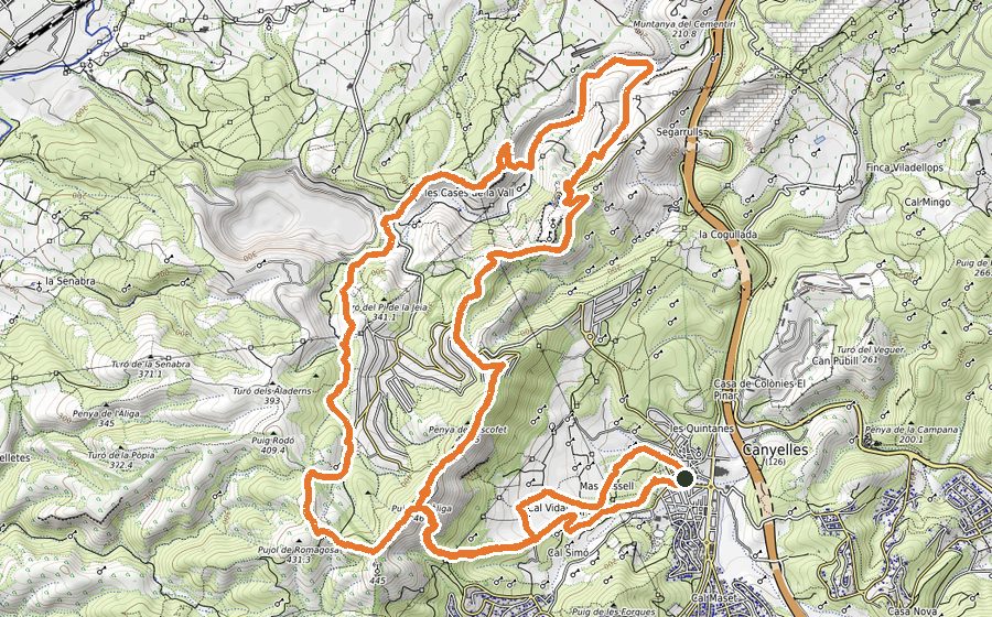
The circuit starts from the centre of Canyelles, moving along the stream that goes across the village. Shortly after, by path, you will get into the forest. Continue the ascend through a trial that will bring you to the summit of Pic de l’Àliga, a privileged lookout over Canyelles region.
Keep walking for a bit along the crest and look for a hidden path that descends to a col. Take a sharp turn to the left and eventually you will get to the village of Daltmar. Follow the path that leads to Coll Blanc and, from here, there is an entertaining stretch that descends through Vall de Sant Joan. During this section, you will sometimes move parallel to the stream and you will pass by an ancient well, used by farmers in the area. After that, you will come across the track that goes to Torrelletes. Before reaching this place, you will pass by “La Bovera”, an iconic nesting zone placed over your right side.
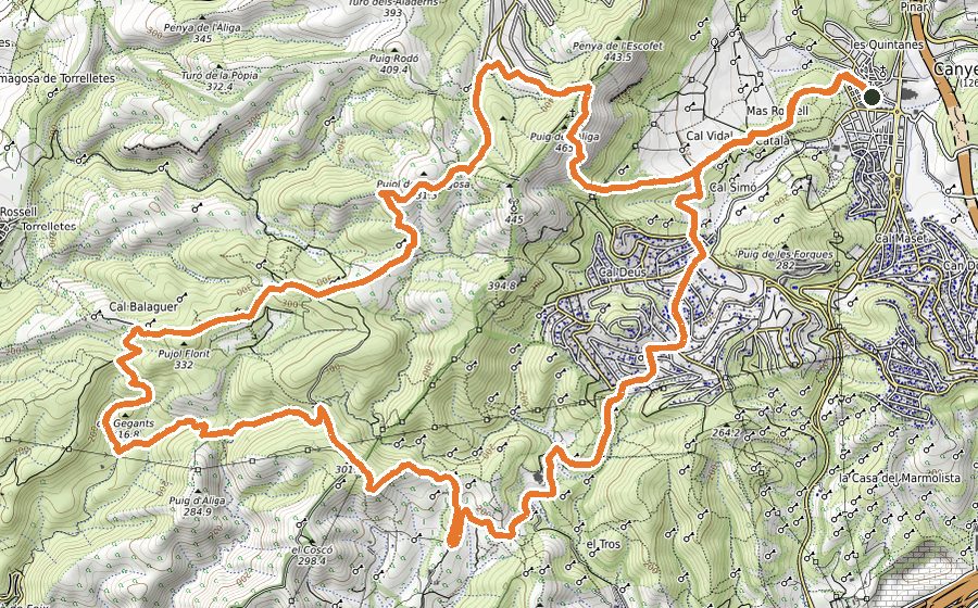
Once you are in the rural village of Torrelletes, go across it and continue descending towards the “Torrent de las Bruixes”. Cross the stream and follow the uphill path (made of stone slab) that leads to Can Balaguer, a group of old farmhouses. Be careful when passing by that rocky path, specially during rainy days. Go past the old houses and follow a paved track that will bring you to the remains of Can Cassanyes. Go across the vineyards and look for a narrow path that leads to Pla de les Palmeres, a well-known col among local athletes.
The route continues through a rocky stretch for a few kilometers until it joins a track that should be walked for 1500 meters.
After the last uphill section you will reach an electric tower. Take a sharp turn to the right and you will come back to the first path you followed at the beginning of the circuit. From there, you just need to retrace your steps to the starting point in Canyelles.