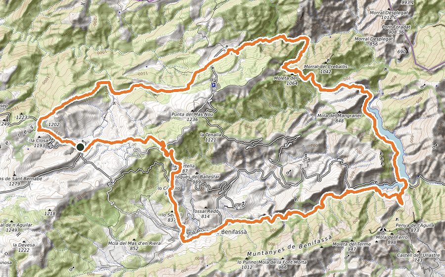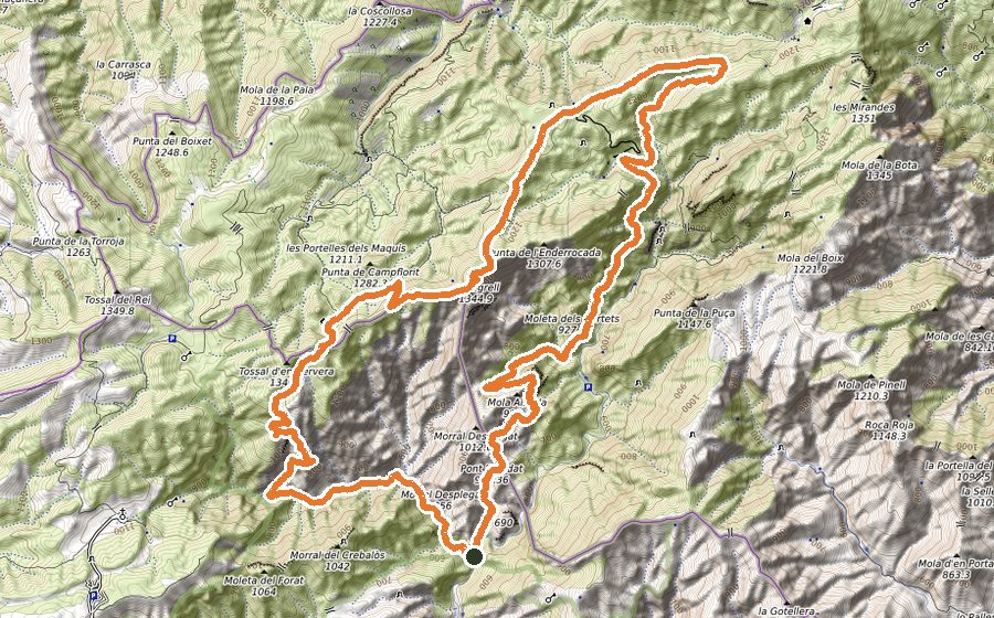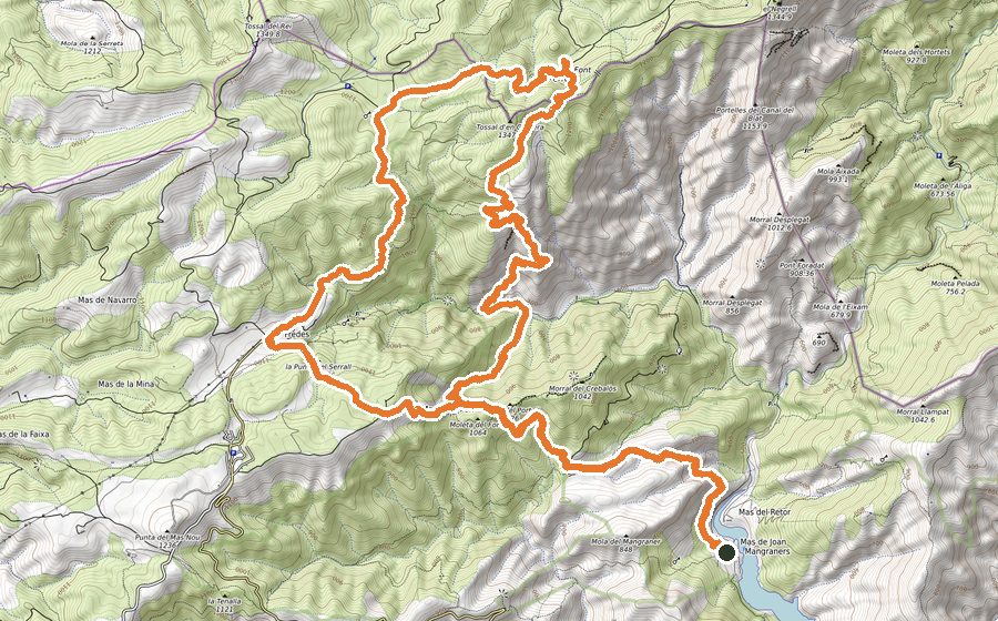
The route
The tour starts going out of the village towards the osea of olivet rees for 2.5km crossing the Campo de Tiro and getting to Povet del Torril.
We enter by the Camino dels Francesos towards the back part of Pallerols, the path we get to the Valencia Community, at the highest point of Pallerols (la Carrasca), at 831m above the sea level. The rise is on moderate difficulty, although the plain scenery of La Sénia ansd its environment are admirable.
From la Carrasca, in order to continue the route, we turn to right to border the mountain and go to Casa de Bernarda, prívate estate and hunting ground of Province of Castellón. At all times duoriung the track we will run high above the dividing line between the Valencia Community and Catalonia.
Barely leaving the ruins of Casa de Bernarda on our left, we see an indicator towards the Pi Gros, and that is where we are going to get to the Escaleta. The field is in good condition although part of the path i son loose Stone.
The rise up to the Escaleta is on moderate difficulty but its scenery make it simple and comfortable. Once we are at the Escaleta we will go towards Planes de Valldebous, entry of the Ports on the valencian part and arrival on the south-east part of Catalonia.
The route is pleasant because of the short gap and the leafy pine trees area up to getting at the Pla, where area is more Stone abounded than vegetation. At this point begins the aventurous part of the route. We start the descent of the Racó del Tabac. Incredible, magnificent, is the feeling that will make us undertake it. We get down about 400m difference in height by a sharp drop path at the beginning and that will get comfortable once we end the first 300m of the 3km long trail. The path is easy and the dificulty always moderated.
We get to Tenalla track, which is 615m above the sea level. We barely find ourselves halfway at only 16,40km of this marathon. The way on the path will be very short as we son get the rise up towards Font Roja and Cova dels Bous.
We note that we will start a steeply gap and getting at 800m we deviate towards the Cova dels Bous, leaving behind the path of Font Roja. This route is simple and very lush as the dampness makes this path easy to cross. We will continue on the path of la Fou that will get us to Vallcanera.
This is quite difficult and along sections we must descend by rocks to cross the Fou ravine or Rafalguerí ravine. Even so, continues to be exciting. It will get us 45 minutes to go up above and we will see the gate of Vallcanera. Crossing we will climb along the path of Retaule. We will keep this way leaving the access way to the Pi Gros on the right until we get to the Vallcanera path, and on to the Pare Faig.
On this path we will get to stony soils and making it difficult to get down, due to the erosion that lays down the rocks to slippery slope. In a few km we will get once again to Pla de Valldebous, way to Escaleta, Pallerols and La Sénia.
We recommend to take water, as depending on the season, fountains on the route might be dried up.