The route
This route is excellent for resistance training at high pace. Most of the course is good running, with a fantastic combination of beautiful and varied track and trails that will delight the most demanding runner.
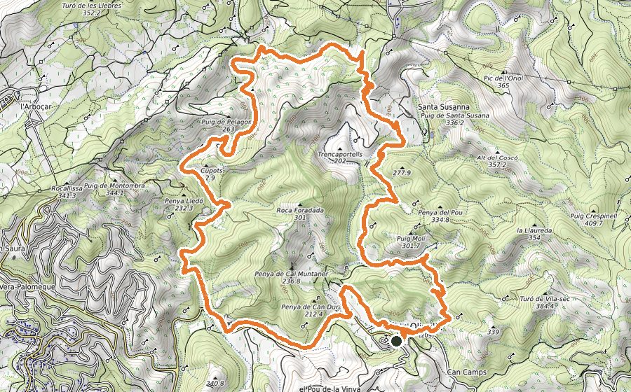
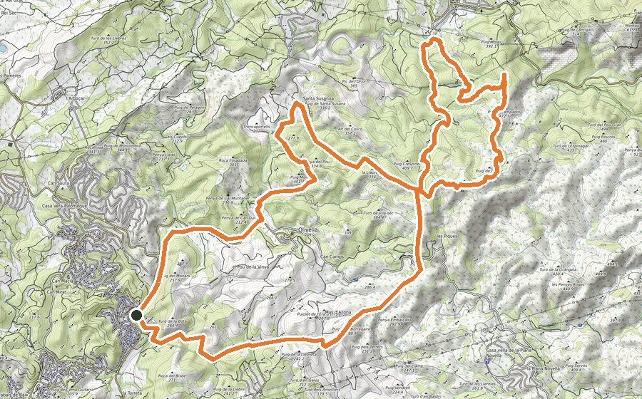
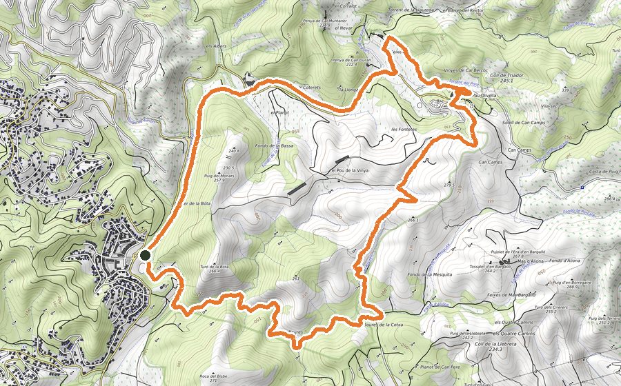
We leave the esplanade, where we can comfortably leave the car, and where we will find the sign of the starting point of the OTR races. Starting point of all the circuits that leave from Mas Milà. We go down the cemented path to pass over the Riera de Begues that will accompany us for the first 800m of the route. We will leave the helicopter raft on the left and continue along the Fondo del Querol track. We will continue in a gentle ascent and we will pass the Pla dels Roures until the intersection of Roures de la Cotxa where, on the left, we will find the first somewhat steeper climb that will make us slow down and increase our pulsations. Just to start, we will find a path on the right that is where this route separates from the Margalló 30K, but we will continue to the left, up the track for 800 m. Up we will find the ruins of what was the Rourell farmhouse with good panoramic views. We will easily descend to the bottom of the Pou del Rourell and immediately we will be climbing again through the Sierra del Cementerio. We will leave the cemetery on the right hand side and we will make a steep climb. As soon as we begin to go down, we will find a steep curve to the left, the separation point between the Margalló 12K and Margalló 23k routes, which in this case we will turn right along a path that will take us to the Masia de Can Camps. We will continue at the track and a few meters later we will be inside the Garraf Natural Park. We will ascend by track to Mas de Aliona and after a small climb we will arrive at the Cuatre Camins (four tracks) junction where we will continue to the left for the GR-5, a rocky path that in a gentle but constant ascent will take us to Can Grau, a nature school and astronomical observatory. We will continue up the GR-5 until we find a wide track, the highest point of the route and where, if we turn around, we will enjoy magnificent panoramic views of the coast, which to the south will allow us to see El Montsià on clear days. We will continue along the GR-5 track until we reach the detour on the left with the indication of Santa Susanna. We will go down a long rocky path, where we will have to be careful when it is wet. It will take us to Santa Susanna, an elevated farmhouse on a small hill, dominating its extensive estate. We will skirt the vineyards and the track will take us up the Coll de Trencaportells. We will continue to Mas Vendrell and, at the top of the track, we will arrive at the detour that on the right hand side can, optionally and off-route, go up to Castell Vell, with spectacular views of the Olivella territory. We will continue down the track and we will take the indications of the Font del Rector, where the fountain and some old washhouses are located, usually with water to cool off if it is hot. We will continue along the path that will return us to the track at a point where we will find the Barret del Rector (a rock formation that some researchers have considered the remains of a dolmen, and which due to its profile is known as the Rector’s hat). We will continue along the track, and optionally we can visit the Cal Muntaner Cave; it is worth going down to see it and stopping for a few minutes. We will continue along the track until we reach the Cal Muntaner farmhouse. It is at this point that the route again coincides with the Margalló 12K circuit route and that they will no longer separate until the end. We will continue down the track until we reach the BV-2111 road, where we will stay a few meters on the right bank to go down the path that, all the time parallel to the Riera de Begues, we will not leave until we reach the starting point again.