The route
This route will take us through tracks and trails of great beauty and easy to run. That is why it will make us enjoy both landscapes and high rhythms a lot. The constant slides of the second half can be perfect for fartlek training.
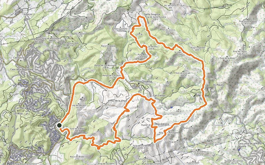
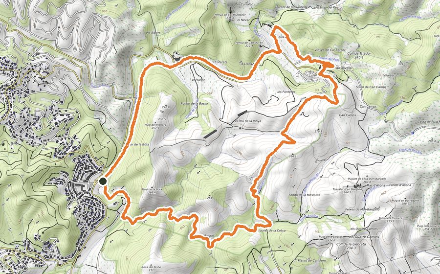
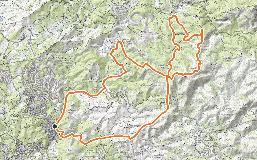
We will leave the Plaça Major d’Olivella, in front of the Town Hall and take the path marked as Castell Vell. We will quickly leave the town behind and go down the path to the road, which we will cross with caution. We will follow the indications and begin to climb to the Coll de Triador. We will go down the Camí del Pou Tancat and when we reach the Fondo del Rector we will turn to the to take the path that will leave us to the Barret del Rector (rock formation that some researchers have considered as remains of a dolmen, and that due to its hat of a rector profile receives this name, barret=hat). We will continue along the track parallel to the Torrent de la Llaureda and soon we will take the path on the right hand side that will make us skirt the Riera de Begues for about 2 kms. From here, we will continue along the track but now on a clear ascent to the top of the Serra dels Carlins pass. When we gain altitude, on the right hand side we will have excellent views over Santa Susanna. We will continue straight on towards Arboçar. We will follow the track of the Camí del l’Arboçar and from there we will continue all the time the track that borders the Riera dels Pelagons in a gentle descent but with constant slides and surrounded by exuberant vegetation. The track ends at the Olivella road that we will border on the left a few meters to finally cross it and go down to the stream before crossing the bridge, which we will pass underneath. We will continue on the track that runs parallel to the Riera de Begues and that in just over 2 km will end up hitting the road again. We will pass a few meters along the left shoulder and then we will take the Can Montaner path. When we are arriving at the farmhouse, we will take the path to the right that will take us well signposted to Olivella, but not before taking a beautiful and shady path that uphill and through entertaining terrain will lead us to the starting point, the Plaça Major d’Olivella.