The route
Recommended route from spring to autumn. In winter we will be careful with the frosts, because the route is mostly shady, and we will avoid the days after intense snowfall. In this time we will take care especially when crossing the torrents.
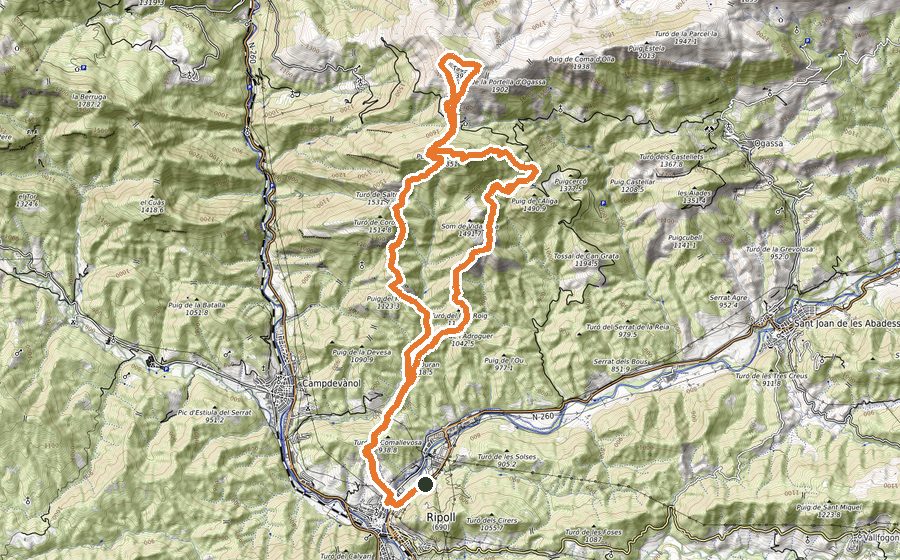
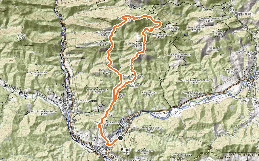
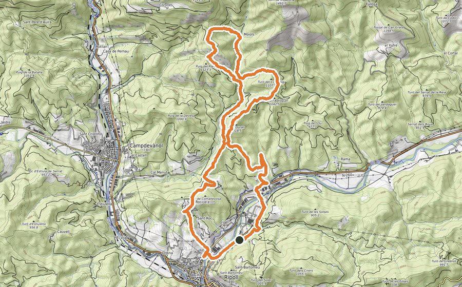
We will start the circuit in front of the Avellaneda Sports Center, and following the track, we will cross Ripoll through the old town until we reach the bridge that will allow us to cross the Freser River, where we will turn right along a paved stretch that will bring us closer to the Font d’Ordina fountain, before crossing the train track.
Shortly we will enter a dirt road, first by path and then by wide road, until we find a path on the left, with yellow marks, that will go up the Serrat dels Emprius.
The path is very clear and evident at all times, and will take us, in the last section by a wide path, to a bifurcation of the track. We will turn to the right, first leveling and later in descent, until crossing the Gorg d’en Colomer. Once crossed, we will find a source to carry water, and with a tendency to go down, we will continue parallel to the stream until we find a cement track.
Once on the track, we will do about 300m by it, until we find a detour to the left, which will quickly connect to the path, and that will take us to pass through La Cabana and later through Sant Quintí de Puigrodón. At this point we will make a 90º turn to the left and begin the hardest section of the route, with a constant climb that will lead us to the ruins of the Hermitage of Sant Marc, crowning the peak of the same name.
At this point we will start the descent, first gently and after with more slope, which will leave us at a crossroads of paths and forest track, finding a thread of cattle. Here we will be attentive to the track because the entrance of the road is not very defined, but quickly, after the first meters, we will find the well-defined path that will leave us on a cement track, in front of Mas de l’Auró. Not leaving the track we will arrive again at the part of the route we did before, and we will undo a section through the Serrat dels Emprius, until finding a double thread of cattle.
The entrance of the road is not very evident, but after a first section through meadow, and a strong rise, we will find the road well defined. The path, always with a tendency to descend, will leave us on a track that we will follow no more than 200m, until we find a sharp curve to the right. At this moment we will see an entrance, not very marked, of path to our left, but once we get into it, it will quickly become very defined, and with some short section of track that will serve as a link, it will take us to the leisure area of the Font d’en Jordana, passing before the Rosa dels Vents, where it is worthwhile to enjoy the views of the Pyrenees and Ripoll.
The Font d’en Jordana will leave us on a cement track that will take us directly to Ripoll, arriving at the starting point on the greenway.