The route
This is a suitable route at any time of the year, but especially good in spring and summer because of its large number of shaded areas. Beware in winter because some areas might be frosted. During rainy seasons, there are chances to get a bit wet while crossing the Merdàs River.
This is an easy and non-technical trail that will get you into a privileged and varied environment.
Along the route you will come across some farming areas, so be careful when passing by enclosures and always make sure that you leave the gates closed behind you.
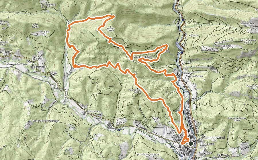
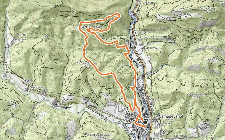
Starting from Plaça de la Mainada move towards Barri de la Creu. At the end of the street keep walking until you cross the Merdàs River. There is a short stretch by track and then take the uphill path. This trail is suitable for runners but be aware that it goes in constant ascent. After passing some enclosures, you should be reaching the summit of Serrat del Auró.
Turn right to start descending by a wide track gradually will turn in a path and will take you to Collet de Daguí. Take a sharp turn to the left and go downhill till the Torrent de Estiula. The torrent should be cross by the pool of Gran de Colomer, one of the most spectacular pools of the area.
From there, keep moving by a path that goes parallel to the stream most of the time. After a short rise you will get to the farmhouse of La Mosquera and, shortly after, you will find the picnic area of Font de Querol.
From that point, there are just 2 km left to get to Campdevànol. The pleasant trail of Camí Ral will directly bring you back in town.