The route
Enjoyable circuit with plenty of shaded areas and beautiful natural lookouts. This route will get you through leafy beech forests that will make you feel peaceful and will transport you back to other times.
This is a suitable route at any time of the year, but beware in winter because some areas might be frosted, specially when crossing streams. In warm periods, it is a very pleasant trail because of its shaded stretches and the many chances you will have to dip in the streams.
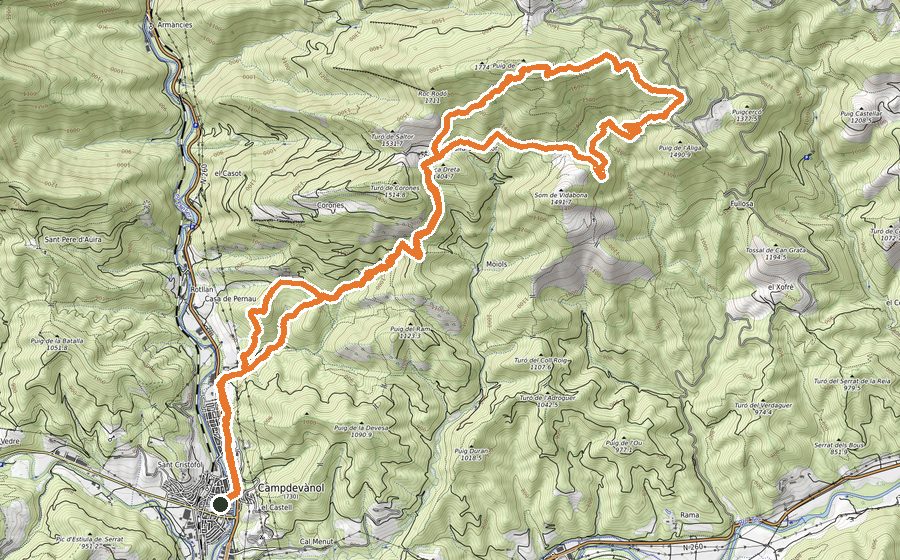
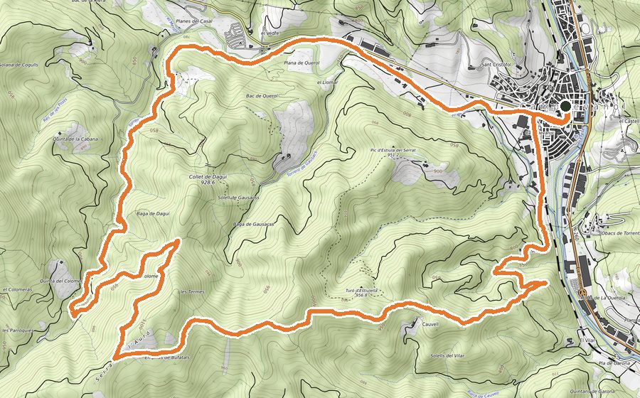
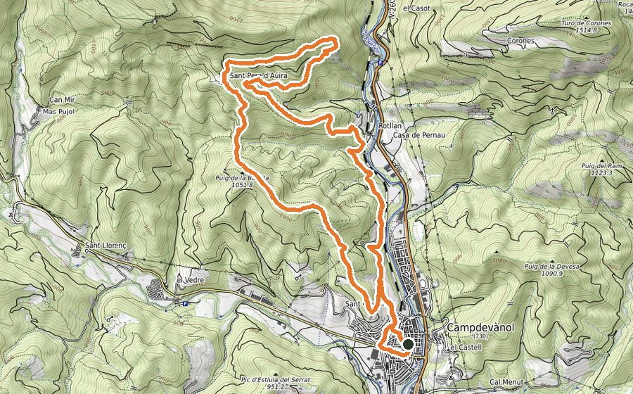
Leaving from the city centre of Campdevànol, move towards the graveyard going across the railway. Once you leave behind the streets, continue by a flat track. Just after you pass by the Mas de la Teuleria, leave that main track and follow the wide path without losing height. From there you will pass through different trails with steep climbs and descents that will lead you to Pla de la Tomba. It is worth making a stop in this priviledge lookout, where you will find information signs about the peaks that can be seen from there.
Moving between the trees, look for a hidden path that will bring you to Sant Pere de Aüira without losing height. This hermitage is placed in a superb location, which has 360º panoramic views of the Taga and Pedraforca peaks and the Natural Park of Montseny.
Keep moving by path towards Pla de Pruners. Take a sharp turn to the left just before the main trail comes to an end. After a short climb you will reach the plain viewpoint of Pruners. Take a break to admire the views and take a tree-sheltered path that will lead you to Collada de Grats. Just before getting there, there is a tricky descent that should be done cautiously, specially in rainy days.
From Collada de Grats, the descent is quite easy and enjoyable, walking close to the Torrent de Grats most of the time. This stream should be crossed twice. After the second time, follow an uphill path that will lead to an open space.
Follow the track and, after a while, make sure you find a path a bit hidden between the undergrowth. That way will take you to Pruners.
Pass beside the Mas de la Teuleria and walk for 20 meters by track to then turn sharply to the left. There is a livestock fence that could be taken as a reference, but there is no need to cross it at any point. You will pass through some beech forests and uphills until you find a track that must be crossed, to then continue by path. You will probably get a bit wet when crossing some streams on your way to Coll de la Batalla. Continue walking a forestal track for 20 meters and after that you will have the last uphill stretch in Serrat de la Batalla. Keep moving between the trees and going across enclosures until you get to the Sant Cristòfol hermitage. From there you can already see Campdevànol, very easy to reach retracing the initial indications. Once you get close to some houses, look for the staircase that will lead you directly to Plaça de la Mainada.