The route
- This is an enjoyable trail that will take you around charming hideouts in Parque de Olèrdola
- Even though this is a shady circuit, it is advisable to avoid the central hours of the day during summer
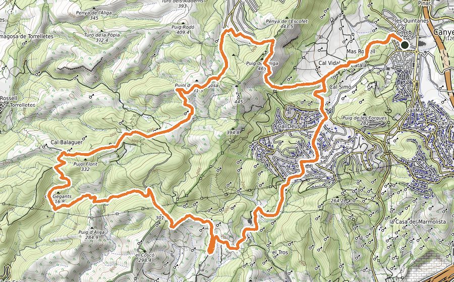
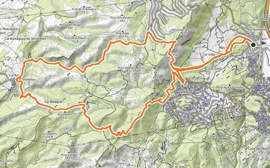
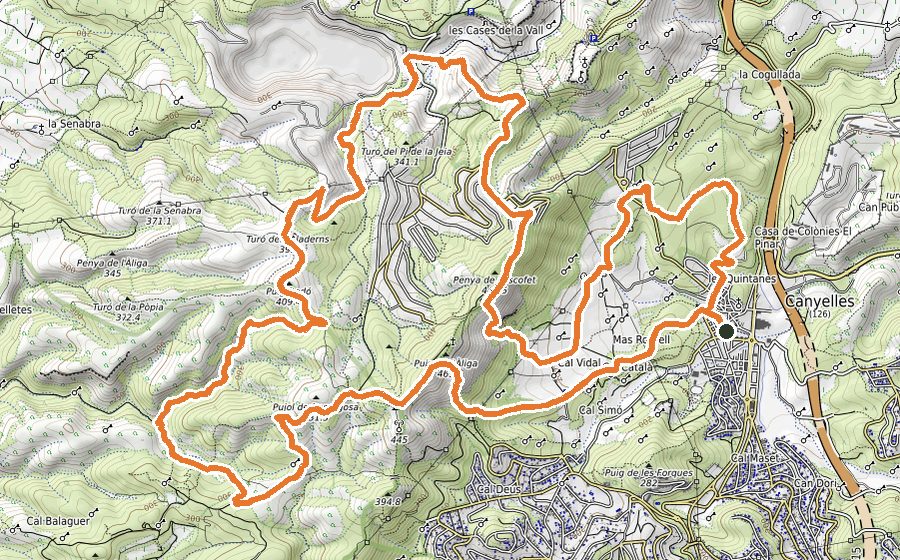
Starting from Plaza del Casal, walk along the torrent and carefully cross the street that leads towards a group of houses. Continues by a narrow path that gently ascends, in parallel to the stream. After doing some stretches by wide track, you should reach the car park area of “La Facu”.
Turn right and follow a path that is paved just for the first few meters. This gentle climb, that gradually will become more steep, will lead you to the highest point of the route: Pico del Águila. From this marvellous lookout you could see the Catalan coast, the inland region and even the Pyrenees in clear days.
The descend from the summit will be done by a narrow and technical path that will lead you straight to Coll de la Peña del Escofet. From there, follow downhill a wide track until you come across a sign at the entrance of Parque de Olèrdola. Go past the chain that stops the access to vehicles and continue by the wide path that heads to the necropolis of Plan de los Albats and to the Castle monumental ensemble.
From the picnic area, walk down the staircase until you find the road. Walk that way for 50 meters downhill and turn left to follow a path that will lead you to Fuente de Fontanilles (untreated water). Shortly after you will see a track that goes along the “Fondo del Valle”. It will take you to the left on a slight incline that must be followed until you find a path on your right (it is a bit hidden). This path will take you first across a crop and then it rises on a steep slope that heads to Fuente del Ametllor. Leaving this fountain behind, continue ascending until you reach the crags. Once you are standing on a wide slab, turn left and keep moving parallel to the crags, while admiring the amazing views over Olèrdola Castle.
Following the path, you will eventually get to a crossing. Turn left and, after passing across a chain, you will come to a road that should be cautiously walked for 100 meters downhill. When you find a park sign on your left, take a wide path just on your right. Continue the circuit through a succession of trails that will take you to Coll Blanc. From there, turn left and follow the track that goes along the crest and towards Collet de Daltmar. The next stretch consists of a path that steeply ascends, followed by a track that will take you to the a field in Pico del Águila. Without reaching the summit of this peak, start descending along the technical path that will bring you back to “La Facu” car park.
To finish the descent, there is a short stretch by path that will take you back to Canyelles.