The route
The circuit mainly runs through forest track and wide paths. It is the perfect trail if you are looking for a constant training rhythm with progressive up and down slopes.
There is no access to water at any point in the trail.
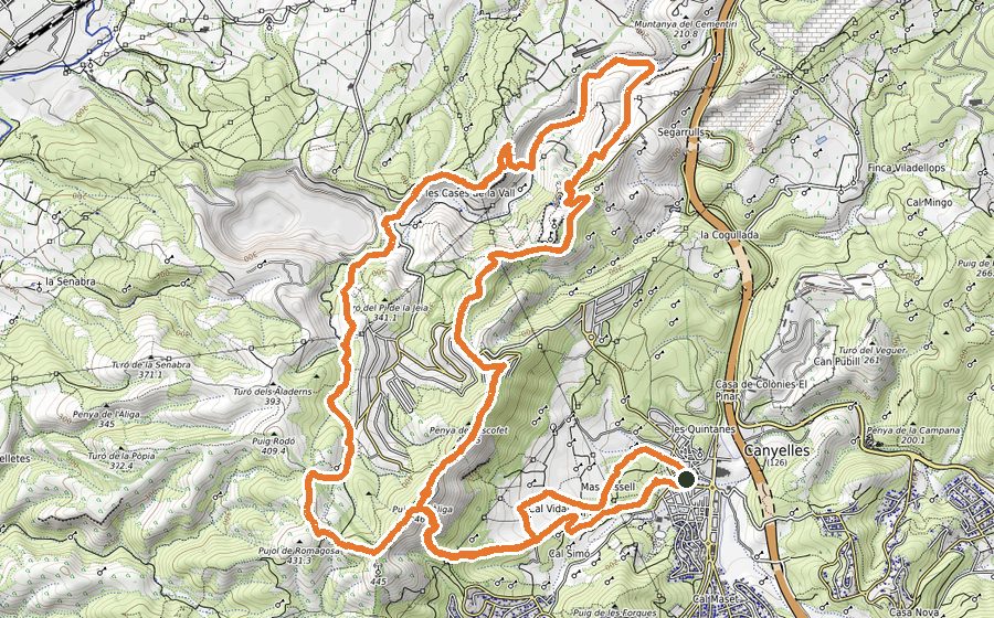
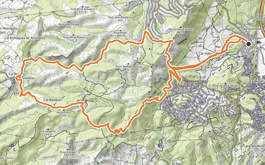
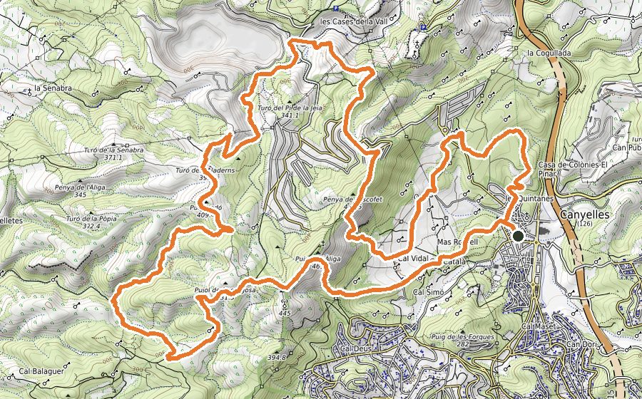
Starting from Plaça del Casal, continue by a good going and wide track towards Urbanización Les Palmeres. From there, follow a paved stretch and, after a dirt path, you will find the Mas Artís.
Go past the farmhouse and follow the track until you meet the Pla de les Palmeres. From there, you will descend through the Fondo de la Gargosa, one of the few technical sections of this route. By a rocky path you will come across a wide forest track that will take you through a succession of up and down slopes, passing by some old farmhouses in ruins. At the end of this stretch you will reach the Coll de Daltmar.
Turn left and follow the path that gently descends towards the Urbanización Daltmar. Continue for a bit through a paved path and, before reaching the summit of Pic de l’Àliga, you will find a sign-post and a path on your left. Follow that path and, after a technical short stretch, follow the track that will get you back to the starting point.