TRAIL RUNNING IN PALLARS SOBIRÀ
The comarca (local district) of El Pallars Sobirà (Spain) has a surface area of 1,355 km2, a population of over 5,700 inhabitants and 15 municipal areas. The local economy of this high mountain comarca has been traditionally based on primary sector activities such as agriculture, fisheries and forestry, complemented by obtaining salt from the Gerri salt mines. Since the middle of the 20th century, this area has witnessed major developments in the hydroelectric power industry, taking advantage of the area’s great abundance of water. But a decisive change has taken place over recent decades with the tourism, qattracted by the beauty of its countryside, the character of its villages and the possibilities that it offers for sports and leisure activities.
As far as skiing is concerned it is possible to enjoy Alpine skiing at the ski resorts of Super Espot and Port Ainé, and Nordic skiing at the Pleta del Prat and Tavascan resorts. Canoeing, adventure sports, hunting and fishing are amongst the other sorting activities that can be enjoyed in this comarca. The Aigüestortes i Estany de Sant Maurici National Park is one of the most treasured places in the Pyrenees. L’Alta Ribagorça (Spain) contains the easternmost section of the National Park, while the Pallars comarques, and particularly the Espot valley, house its western part.

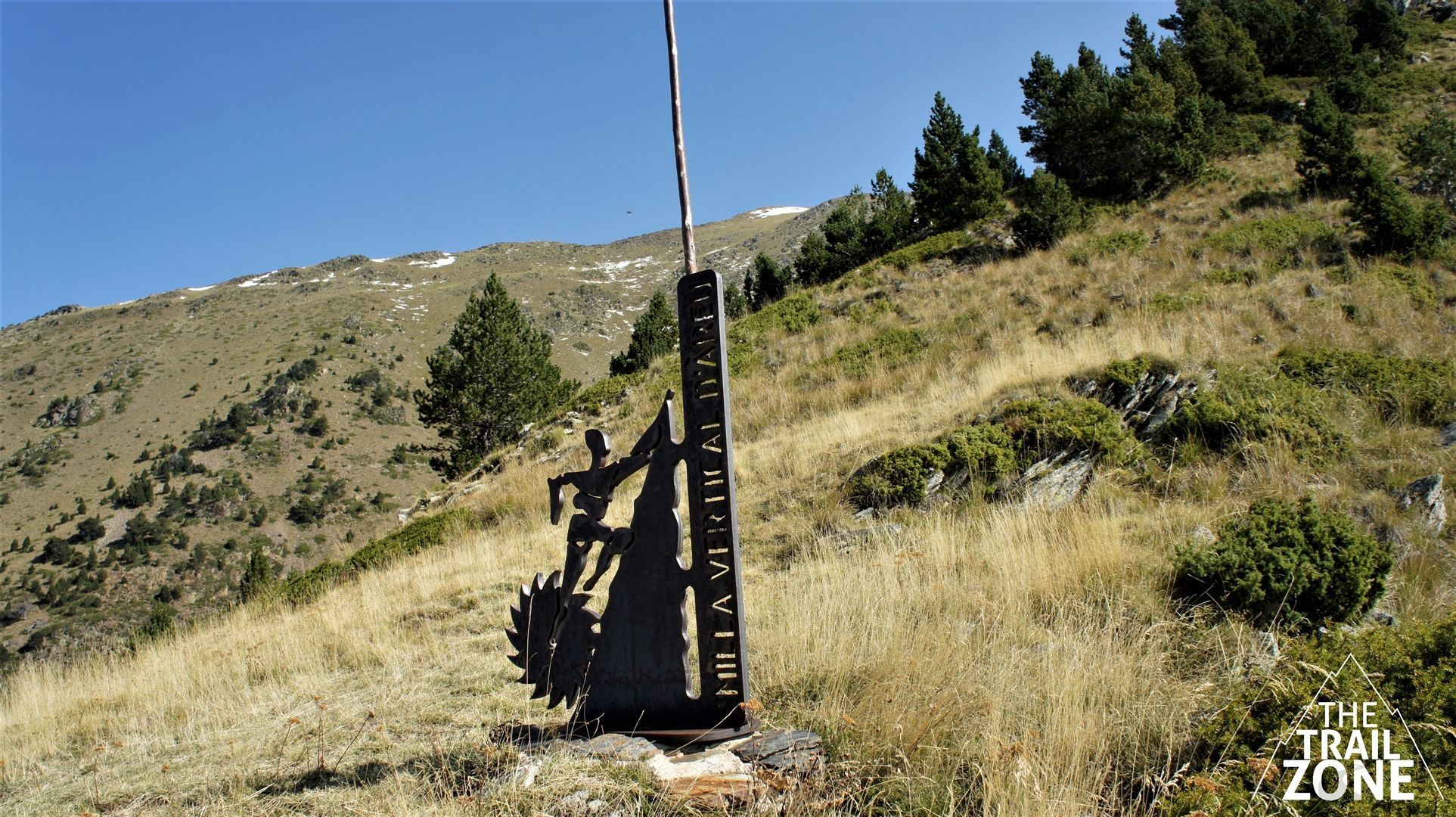
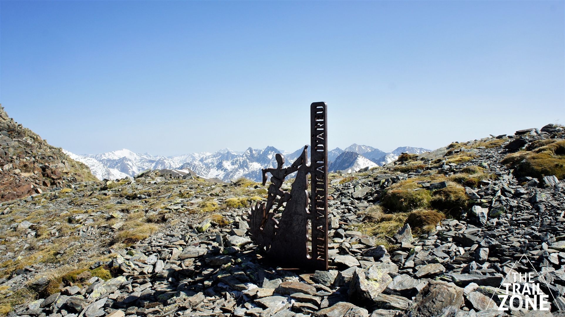
MILLA VERTICAL D'ÀREU
Total distance: 3,6 km
Elevation gain: 1685 m.
Start point: Àreu
Finish point: Cim del Monteixo
Max. height: 1220 m.
Min. height: 2905 m.
Description of the route
ÀREU VERTICAL MILE
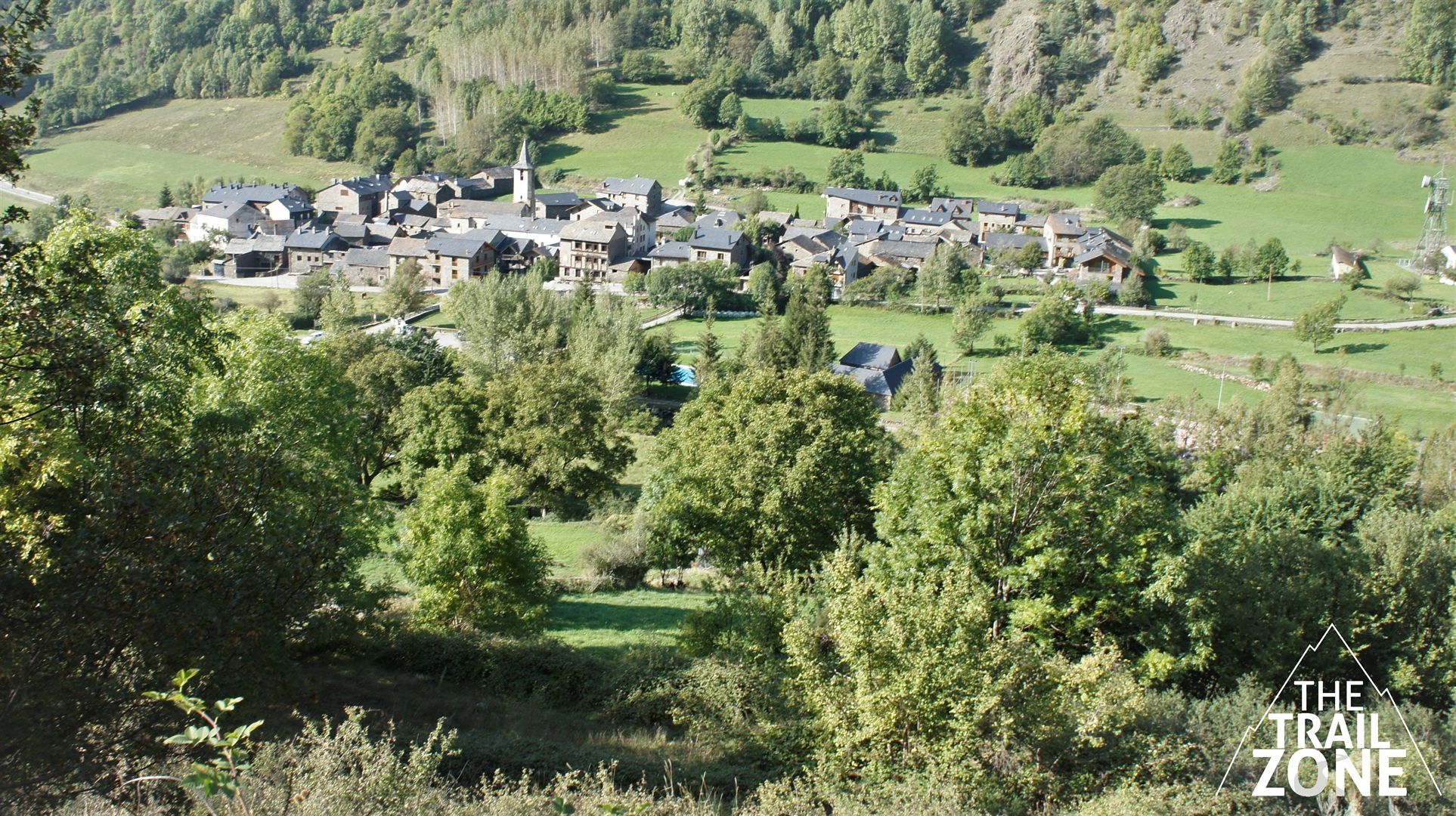
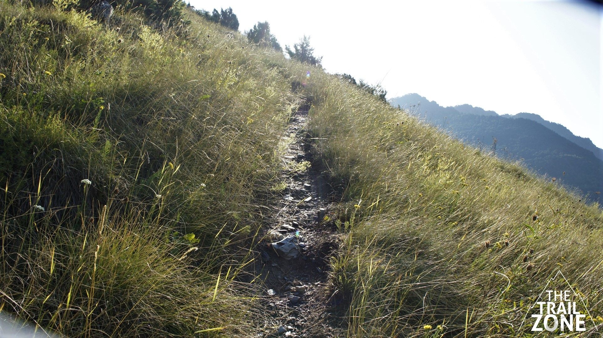
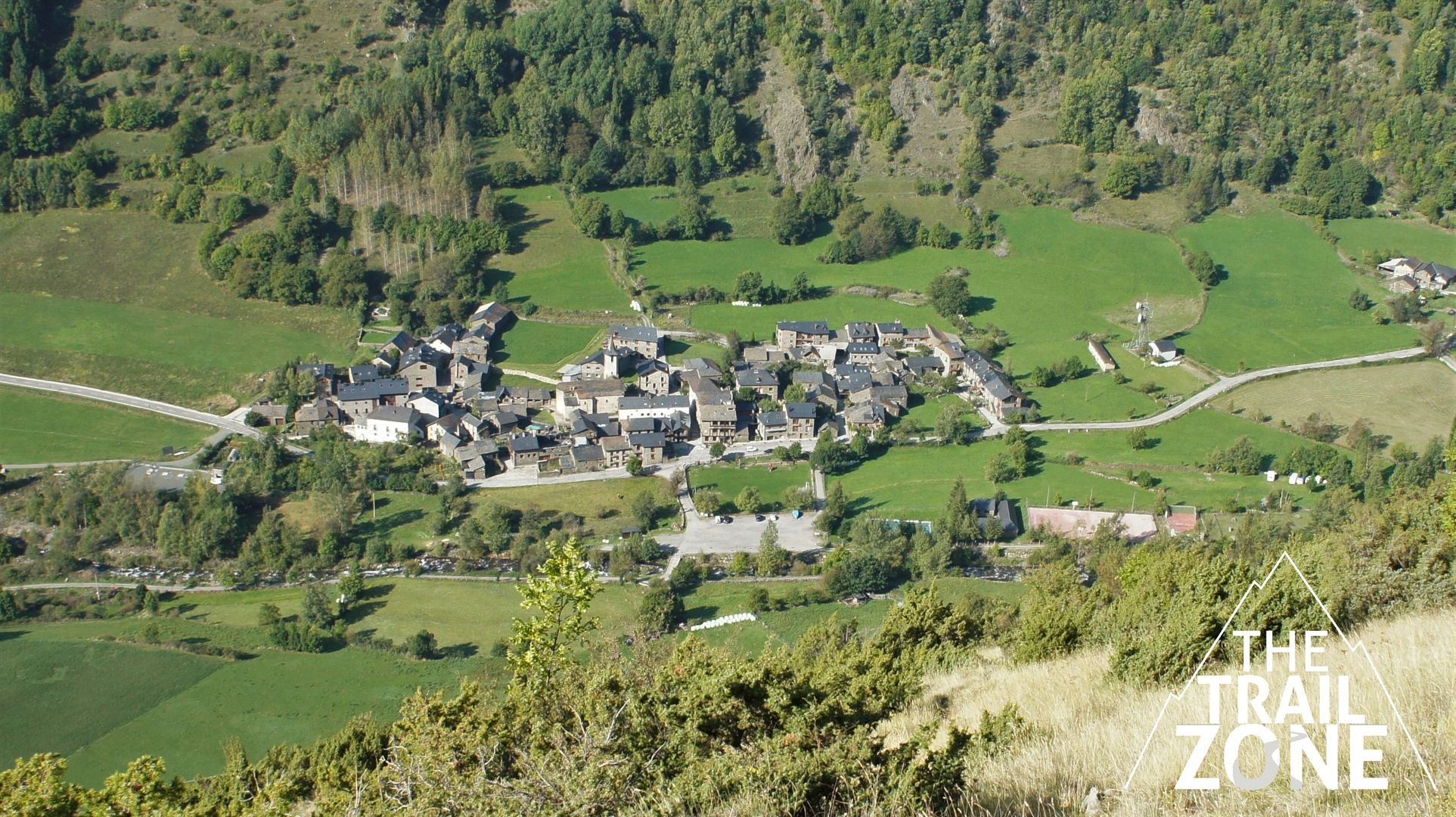
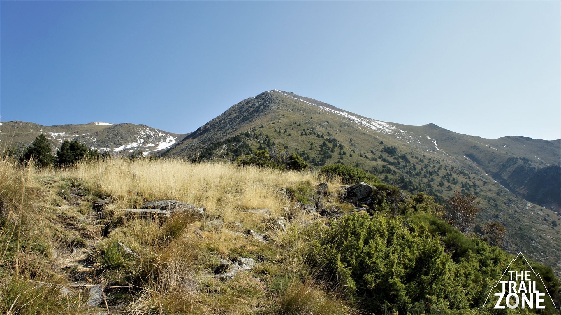
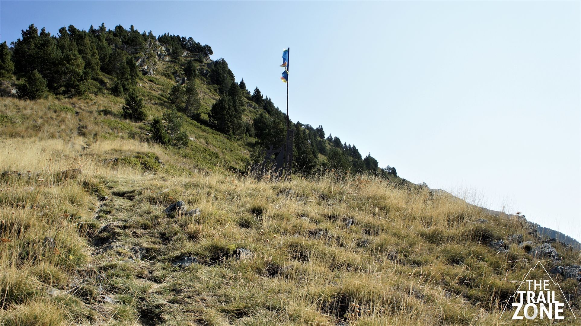
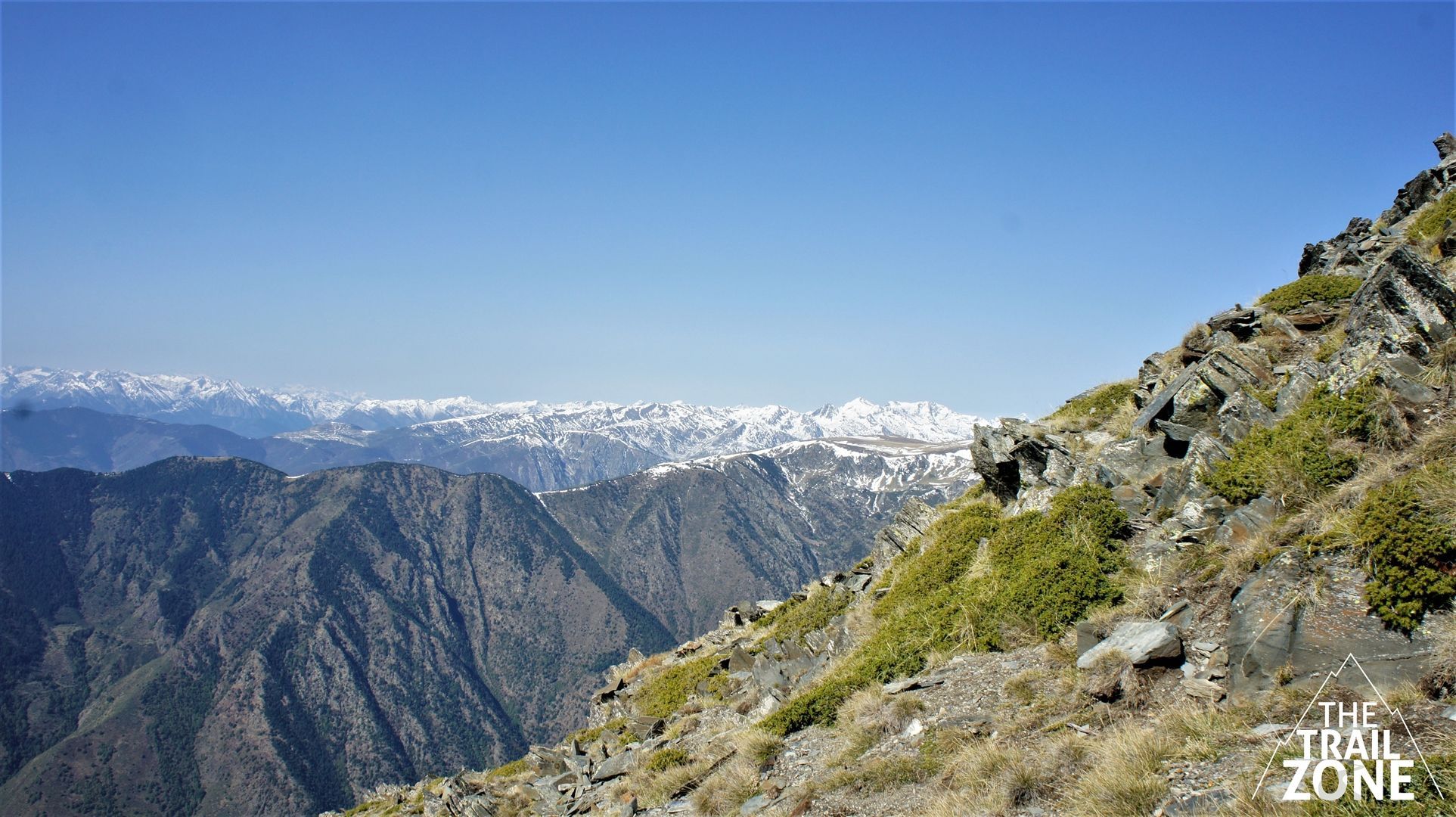
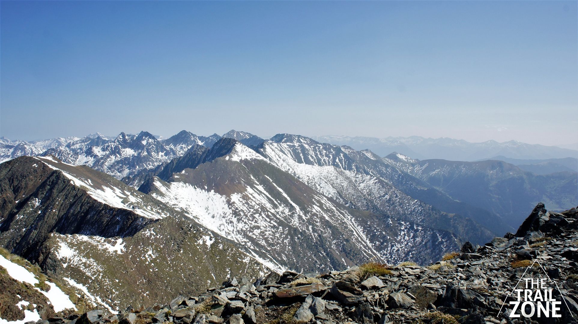
The Àreu Vertical Mile race connects the town of Àreu at 1200m altitude with the summit of Monteixo at 2905m in the shortest possible route, becoming the only Pyrenean Vertical Mile in a route of 3.6km and 1685md + .
It is a very demanding route and in which if we do not measure our strengths well it will leave us exhausted. We must take extreme precautions on the descent, especially if we are tired
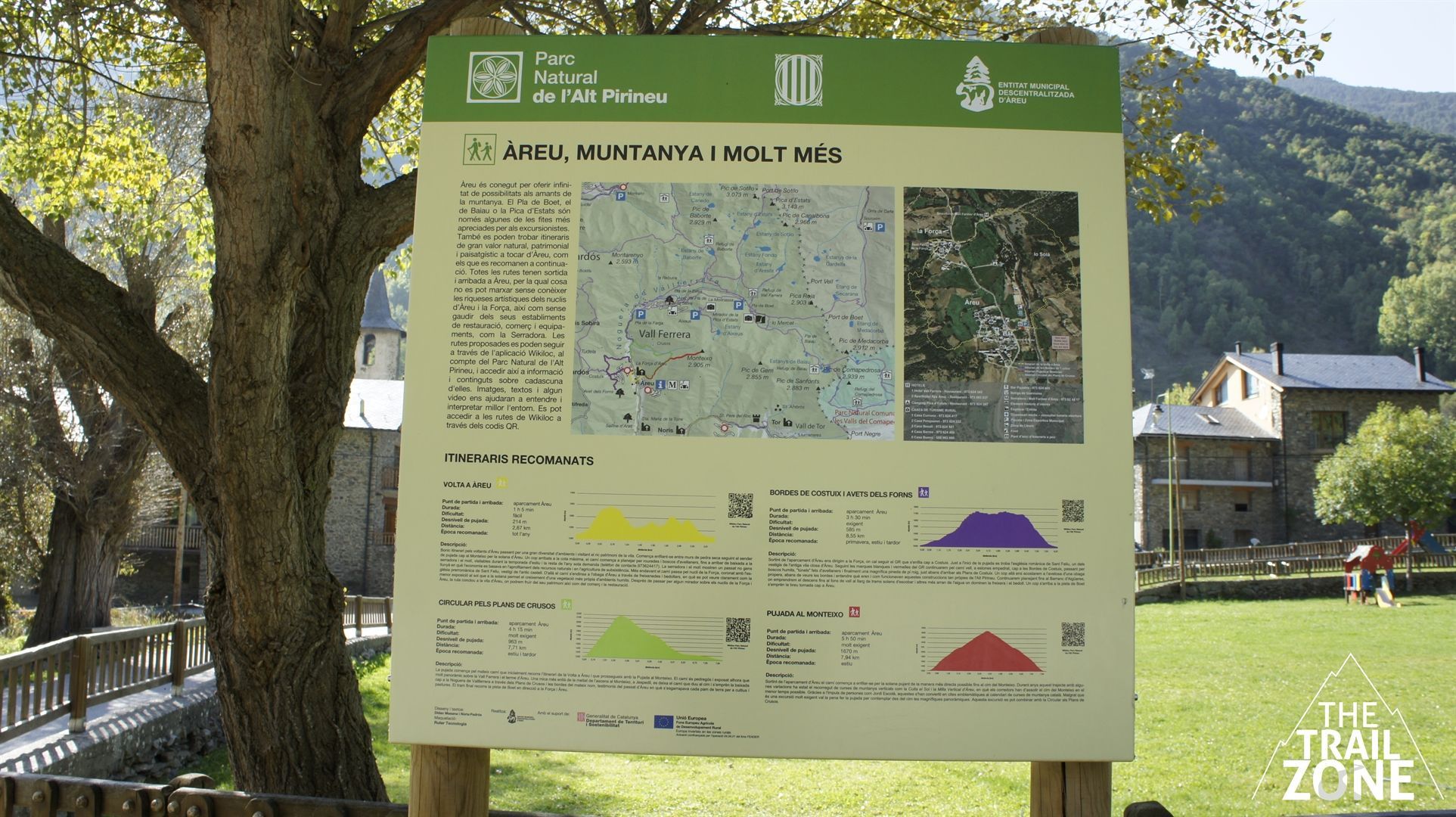
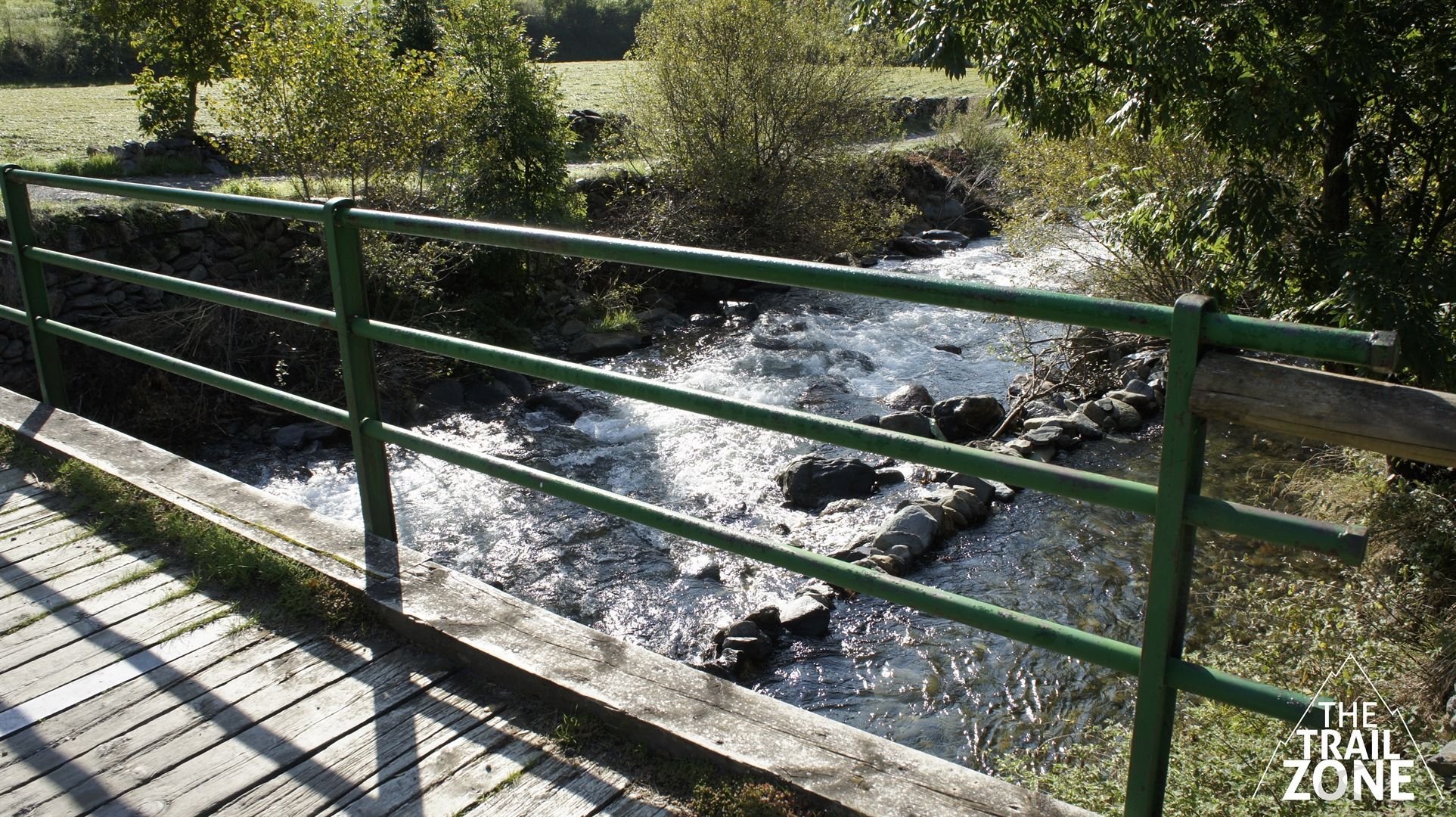
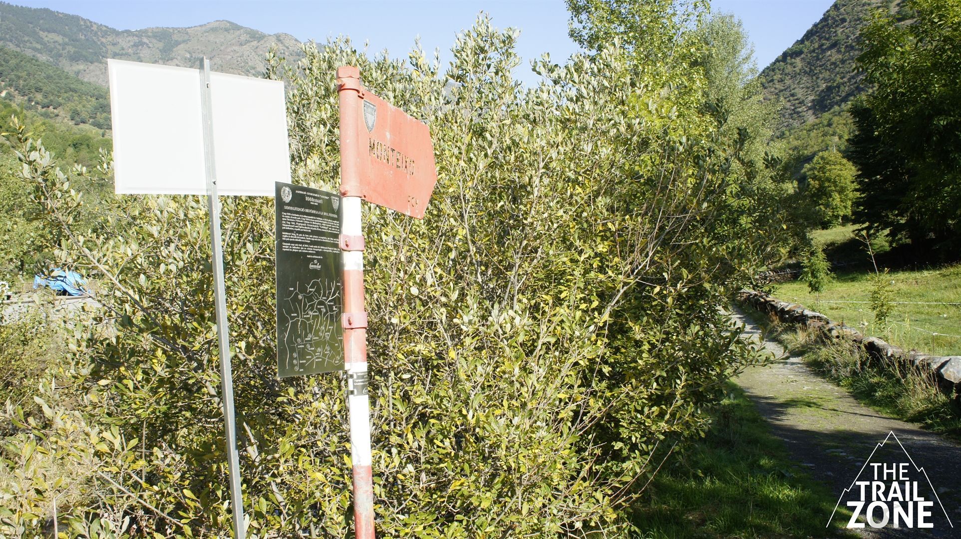
We start and finish the circuit making it coincide with the course of the race. Therefore, we will leave the car park at the entrance to the village of Àreu, cross the bridge and immediately on the left we will find the OTR sign which is where the race and track begin. Optionally we can do this route in competitive mode and qualify with the Open Trail Races application.
It is an obvious trail all the time but we will have to watch out for the gps at a few points. The final section is the most demanding, by type of terrain and altitude (especially if we are not used to the height).
Once we reach the finish line of the race, we will not be at the top of Monteixo, but if we want to cover a few more meters, on the left we can crown the summit.
There is no water all the way, so we will have to bring enough and also food to regain strength.
Àreu (Alins)
http://alins.ddl.net/?lang=en
http://turisme.pallarssobira.cat/descobreix/parc-natural-de-lalt-pirineu/


