

RUNNING ROUTE IN SANT JAUME D’ENVEJA
21K

THE HALF IN SANT JAUME D’ENVEJA
Total distance: 21 km
Elevation gain: +65 m
Max. height 4 m
Min. height: 1 m
Photos in direction of the march
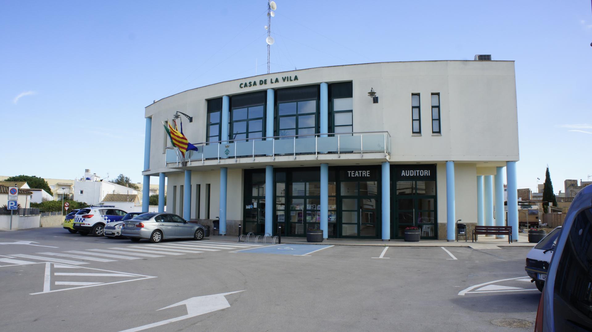
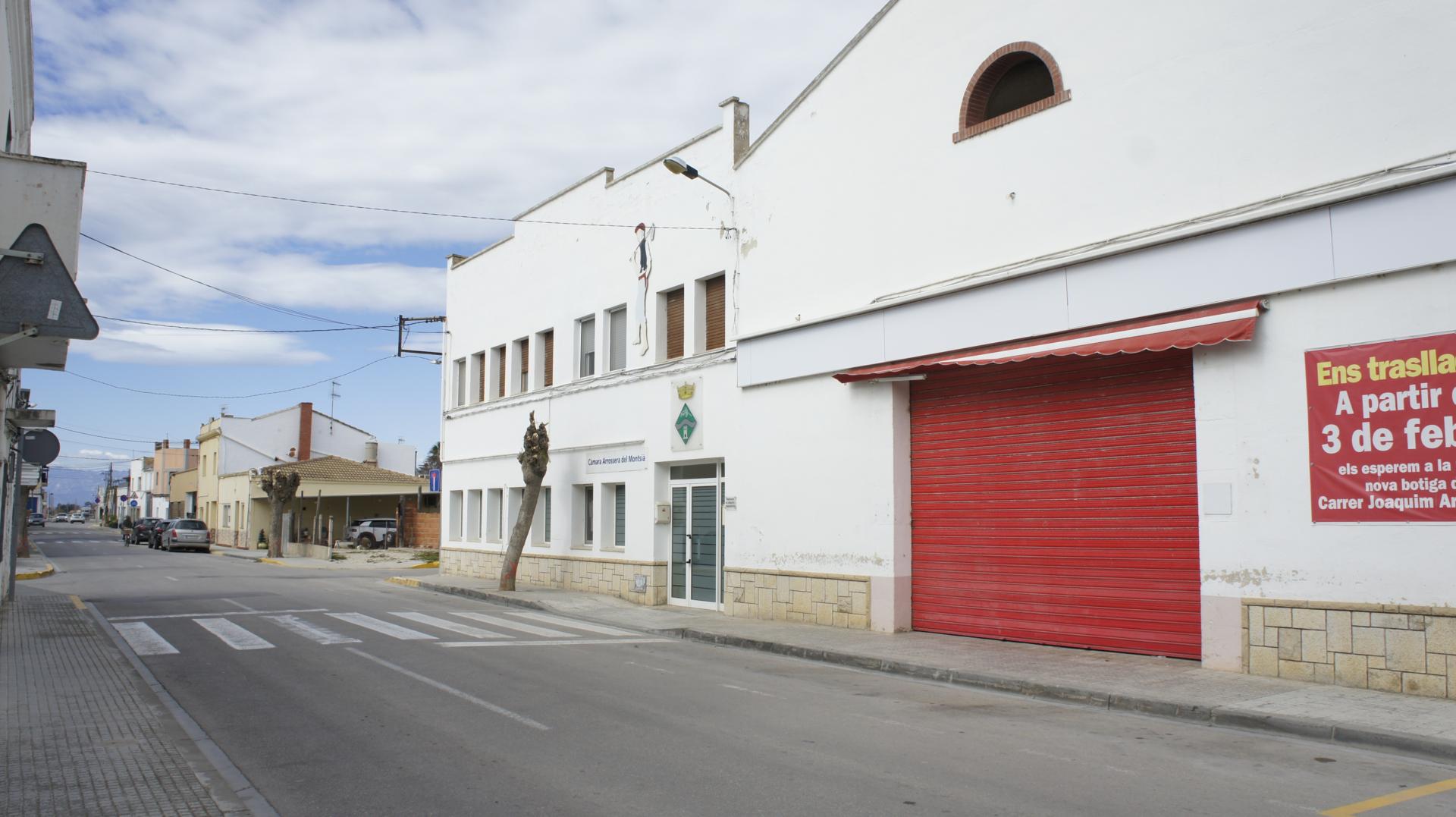
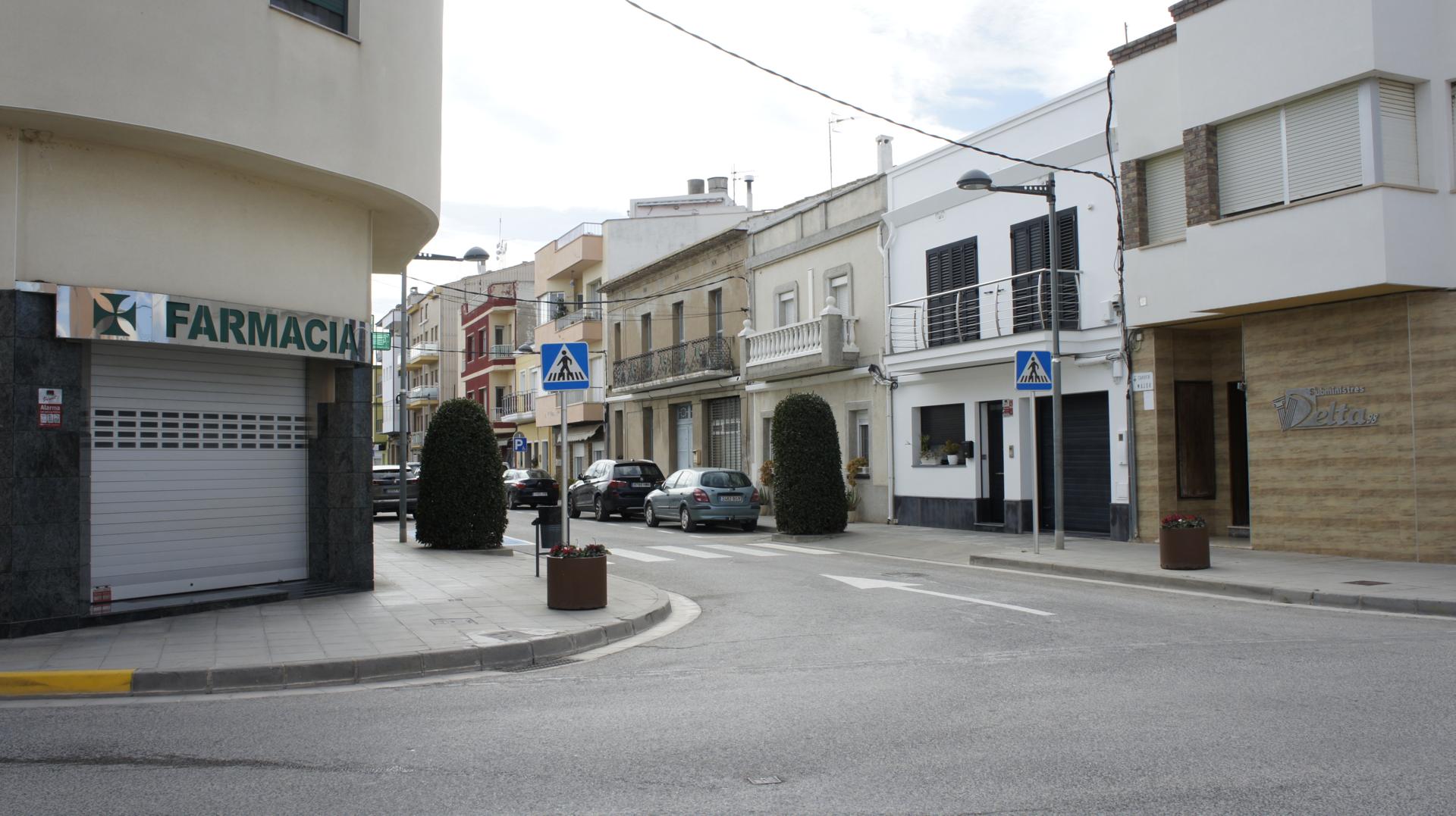
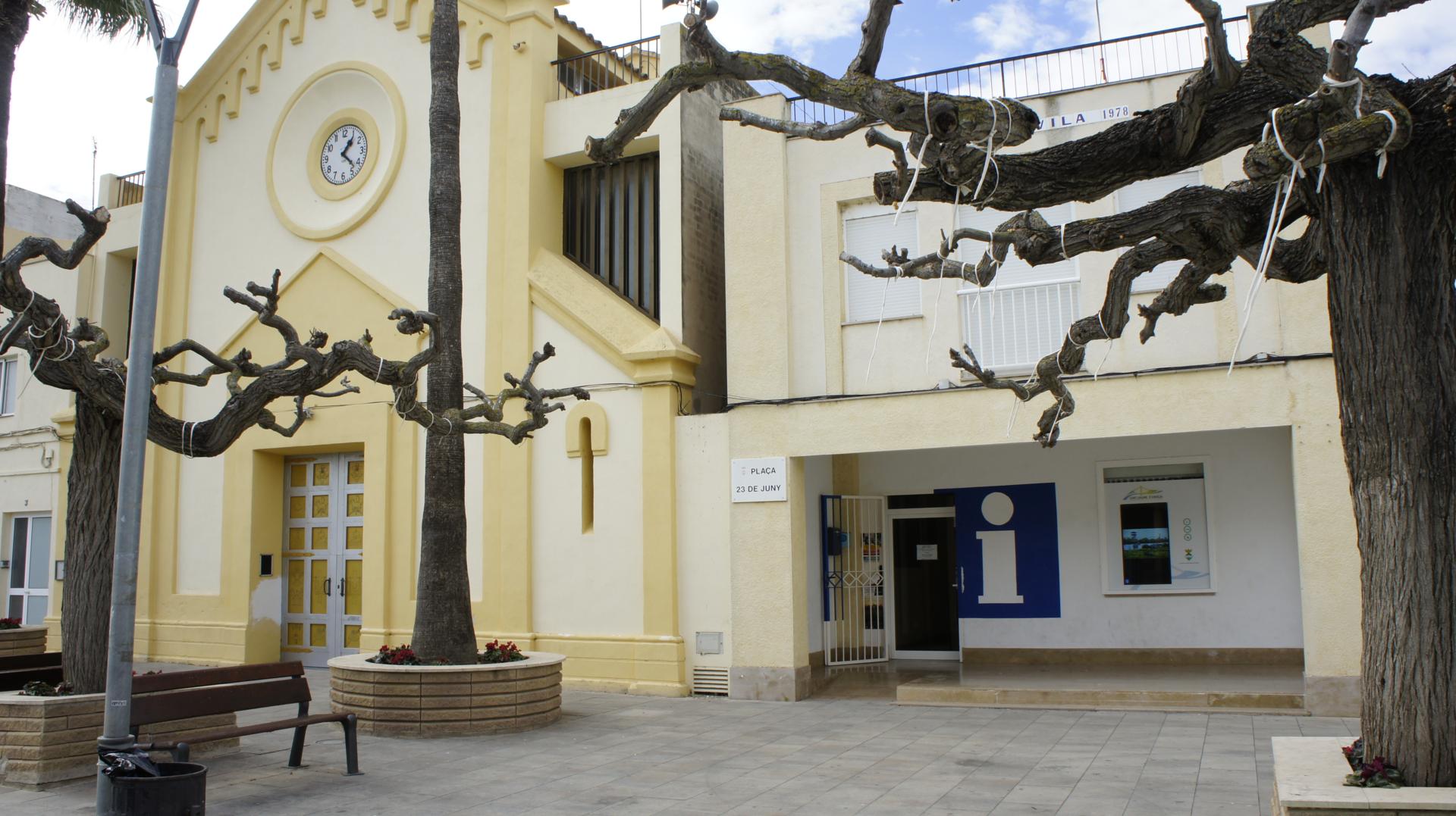
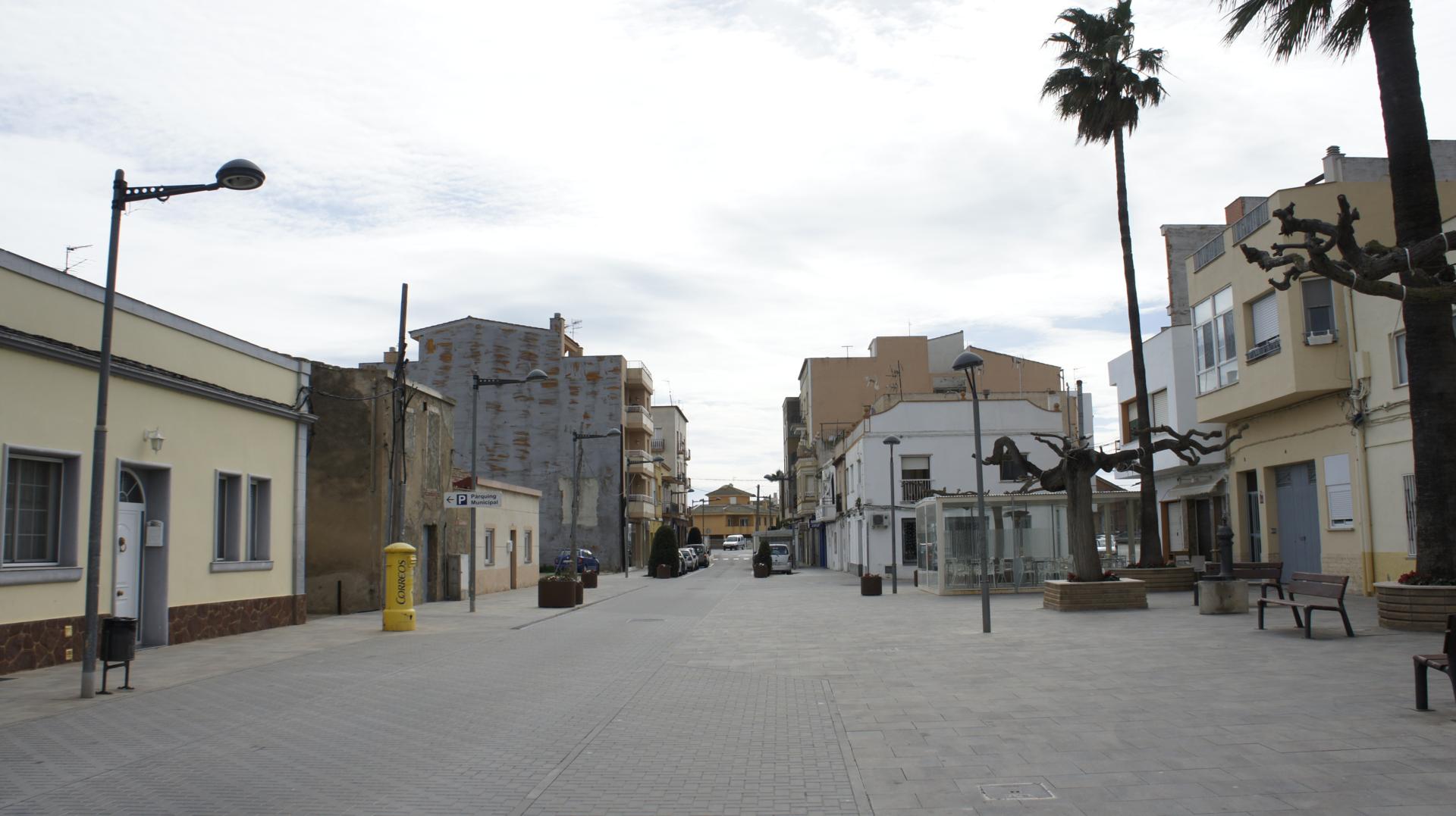
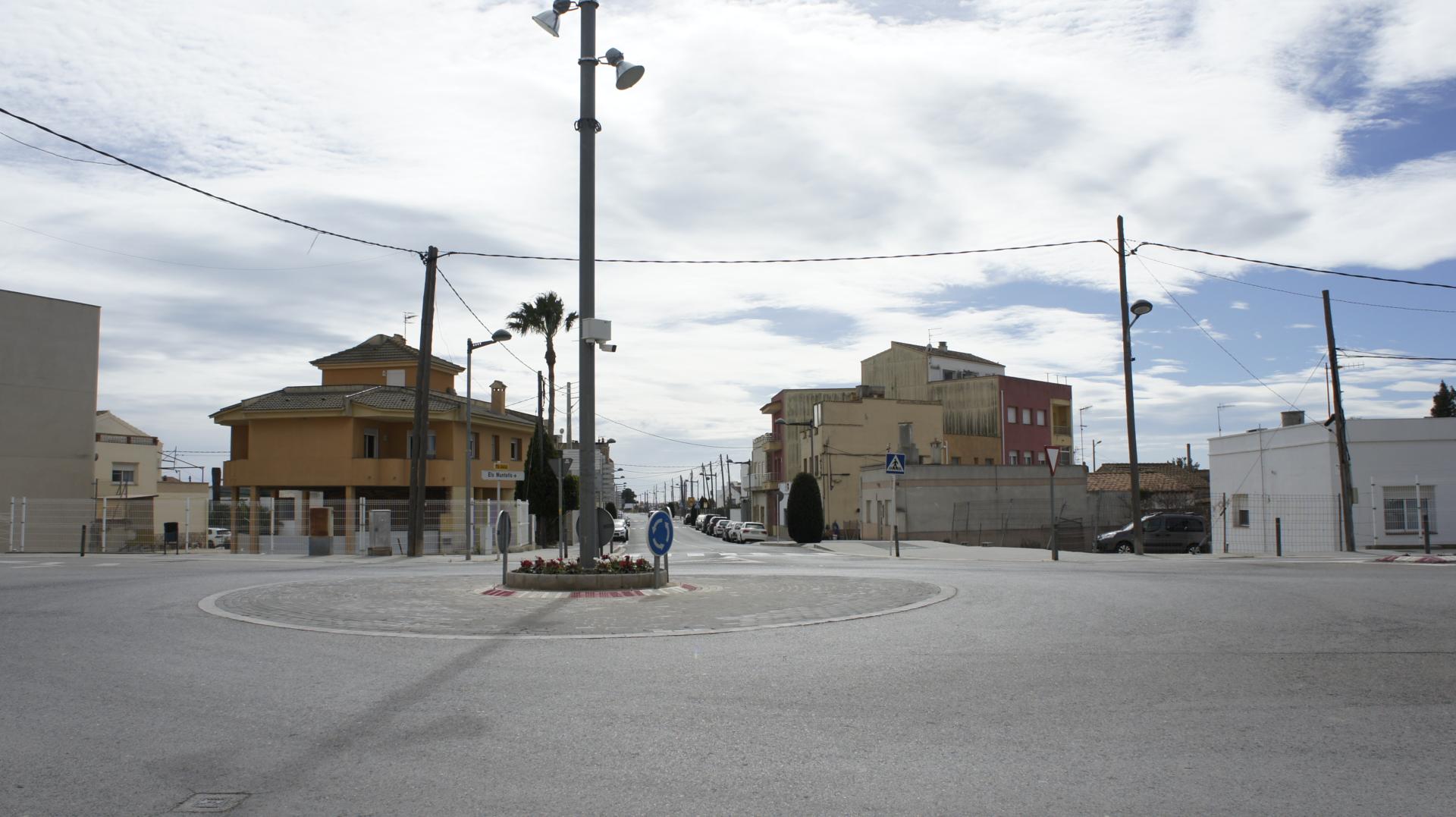
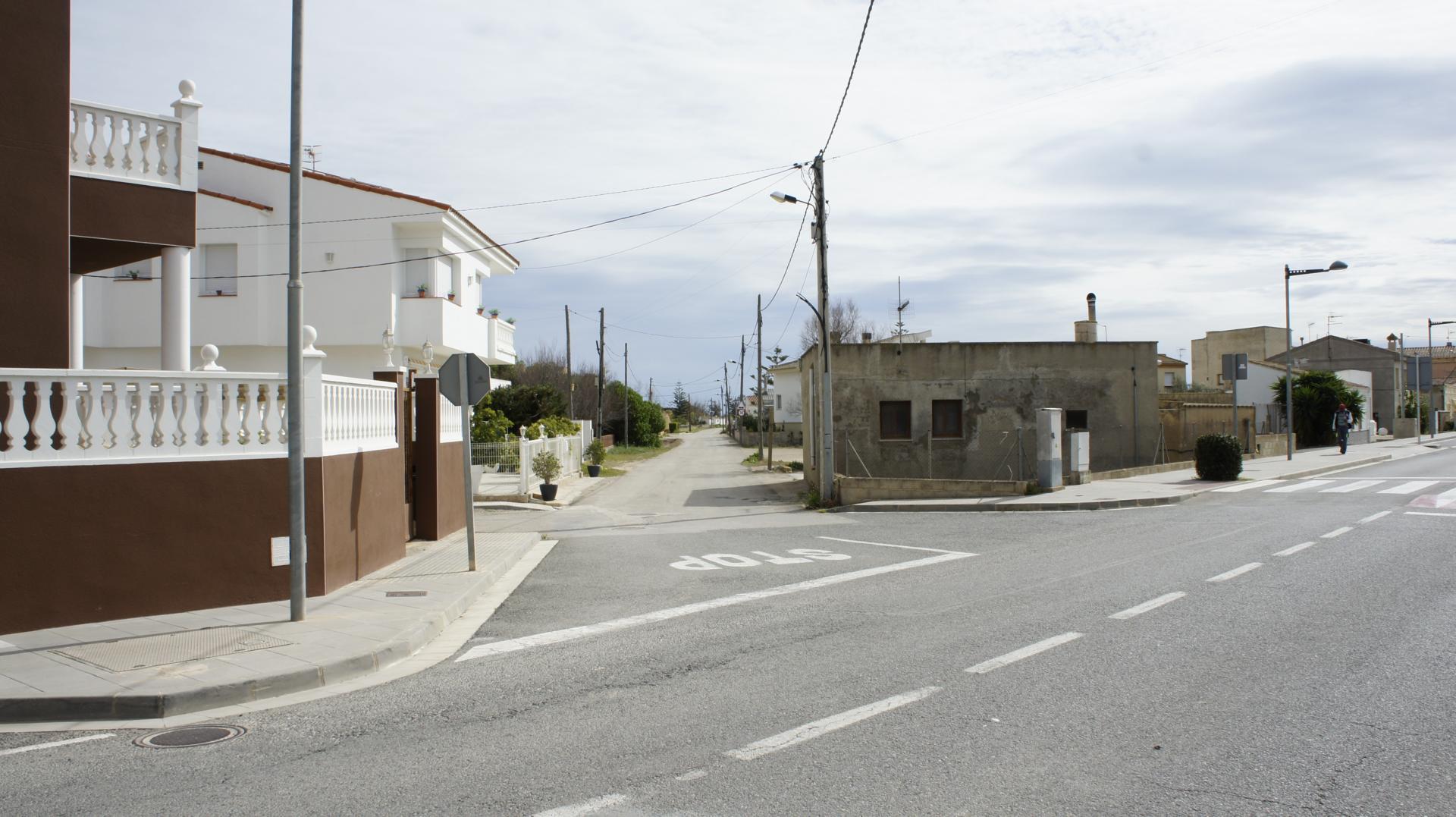
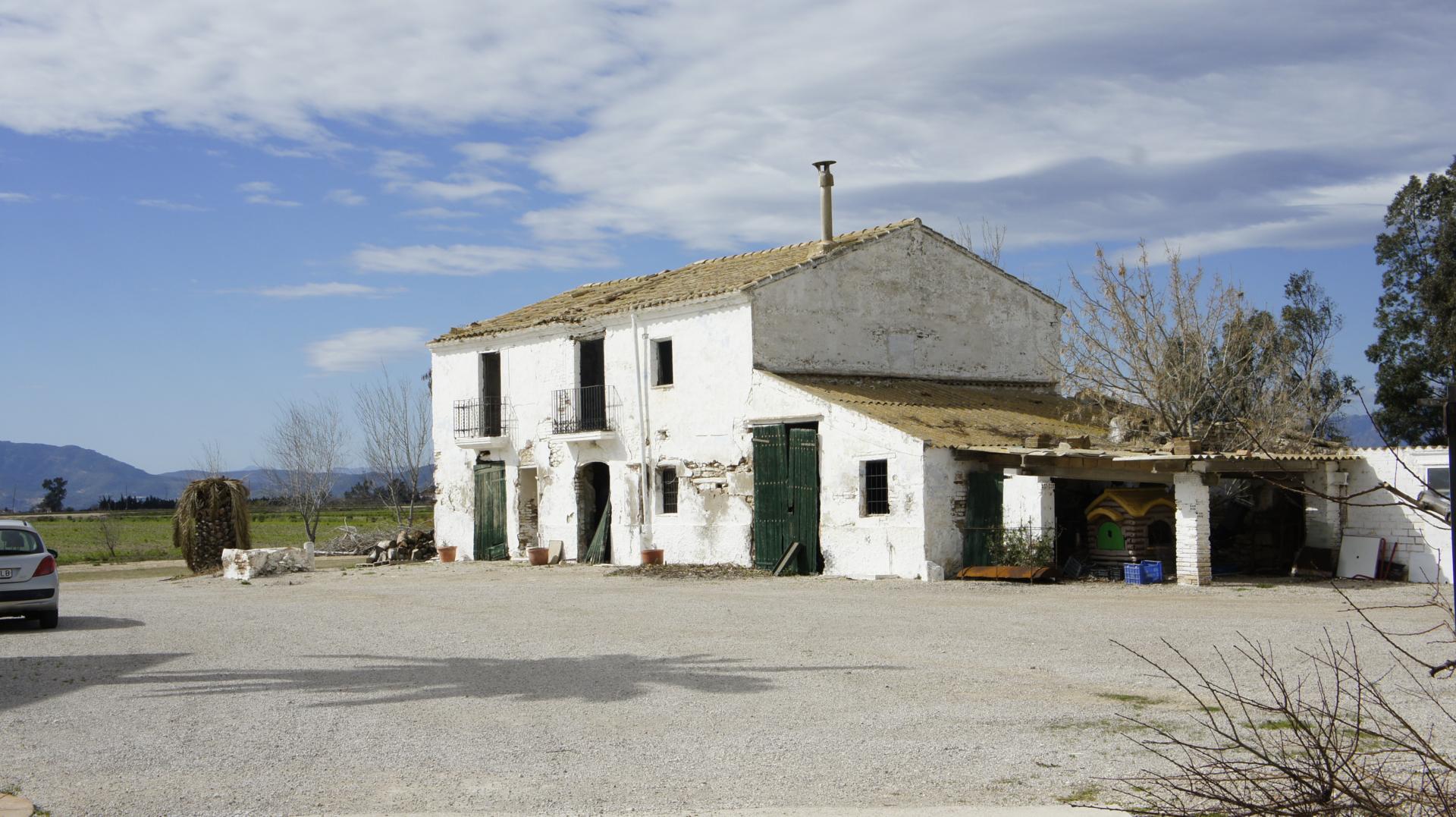
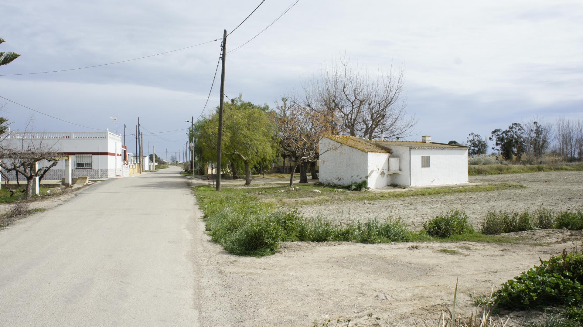
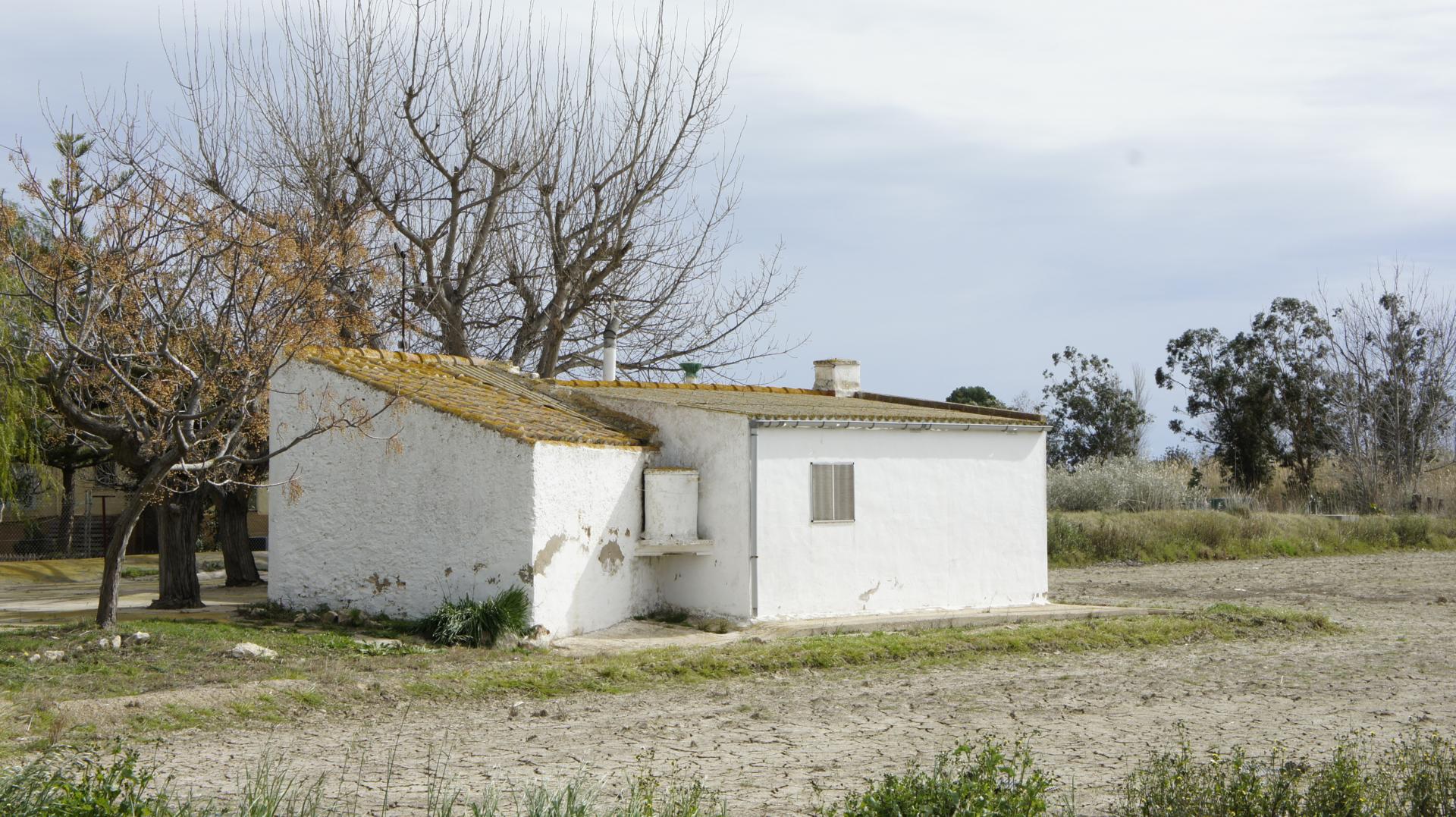
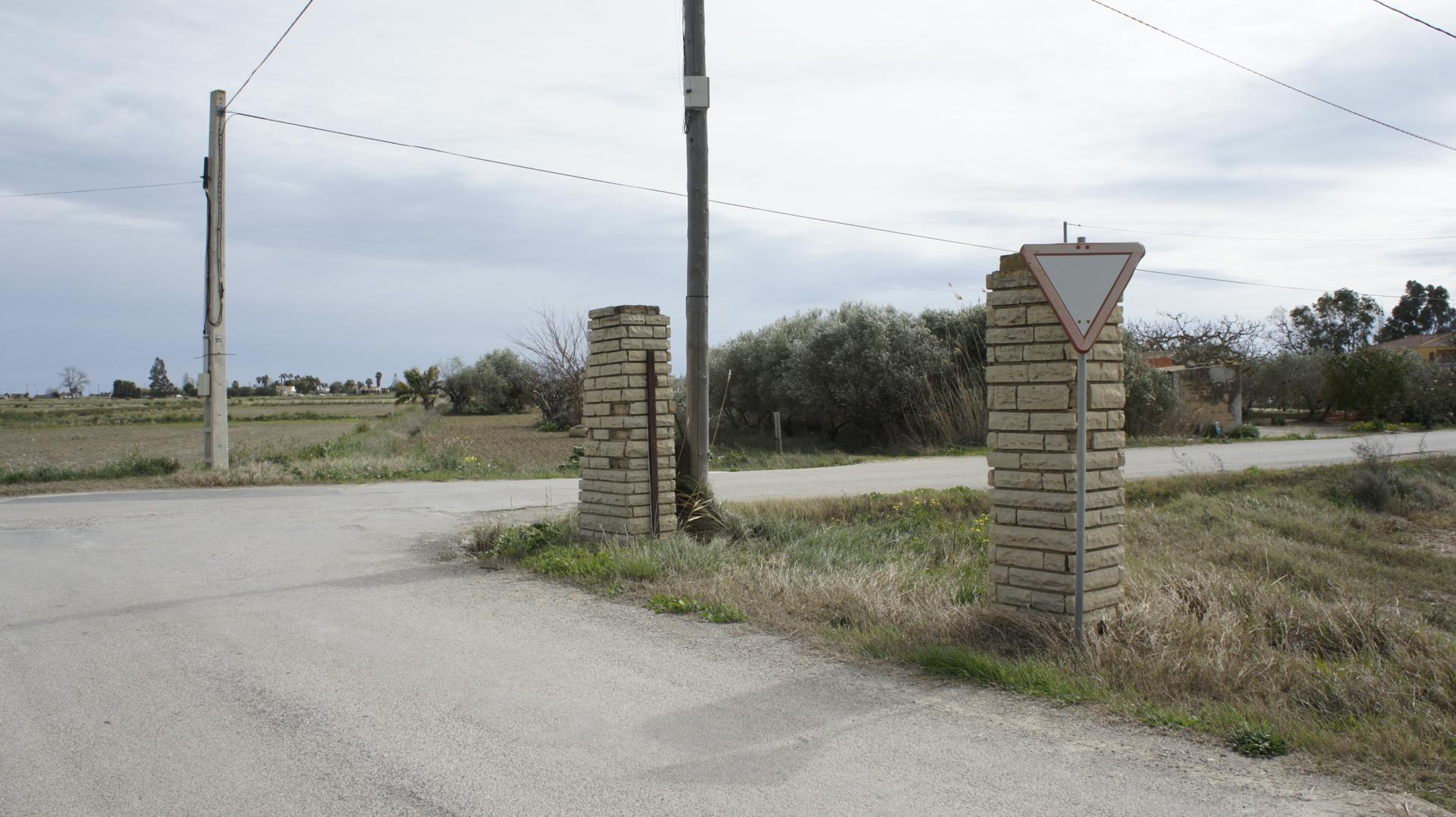
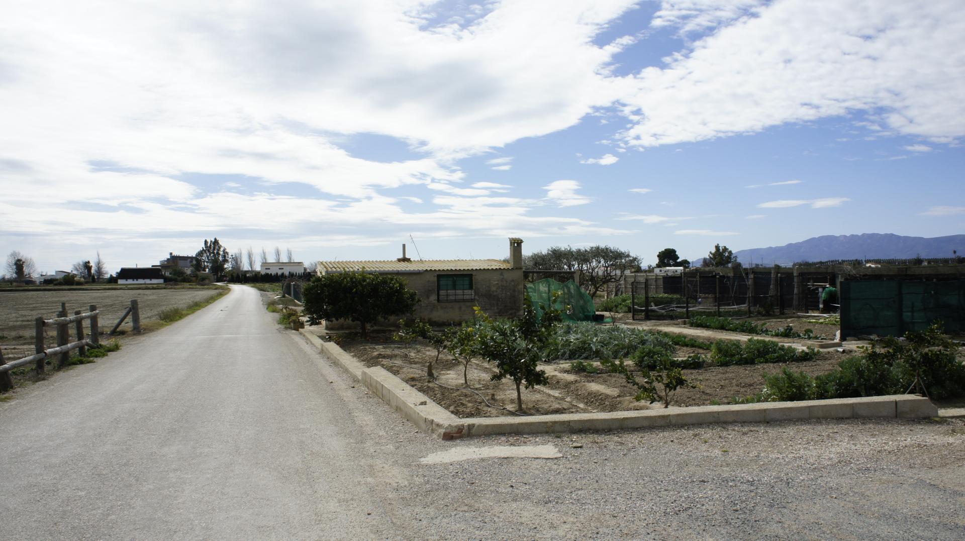
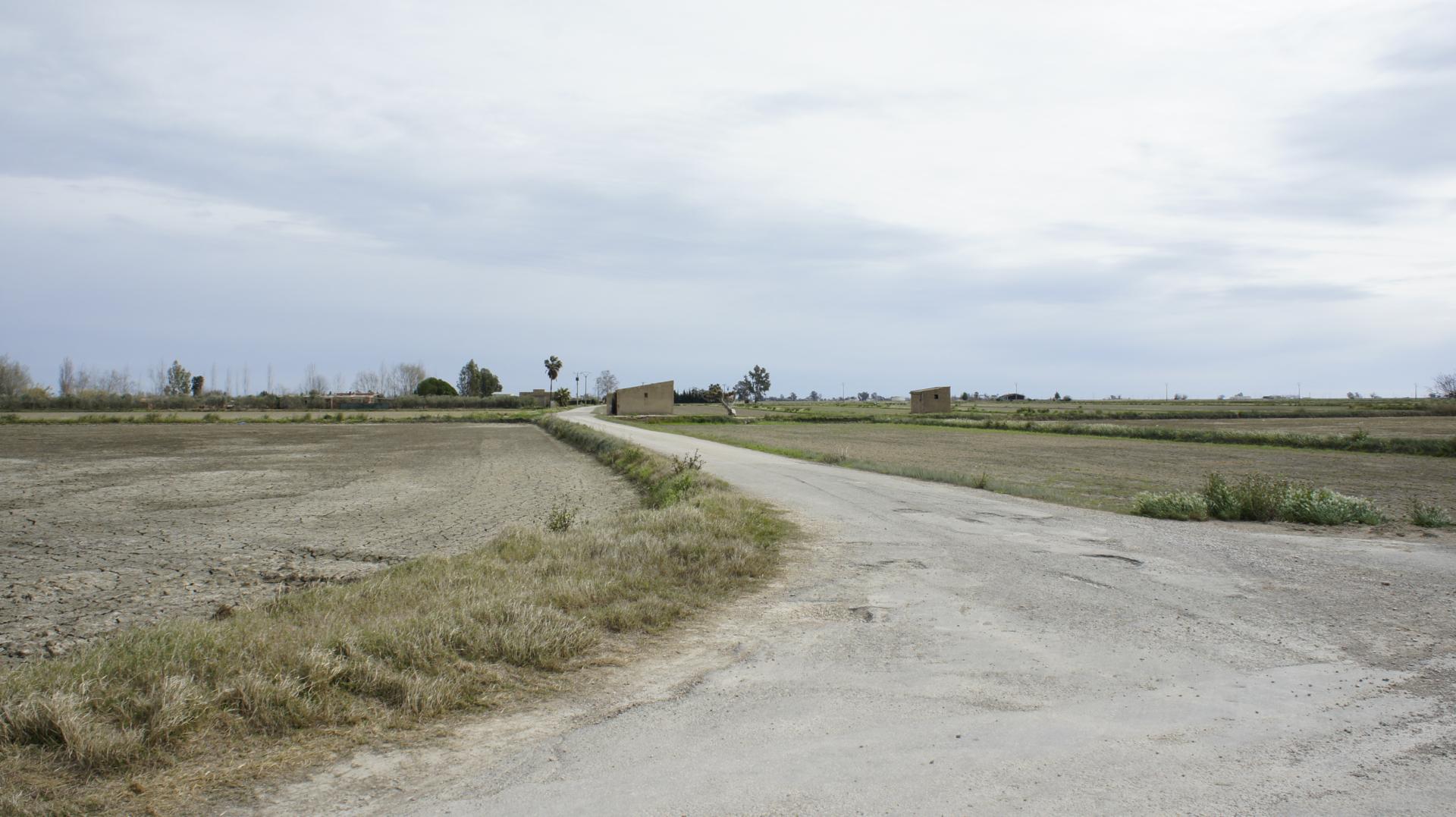
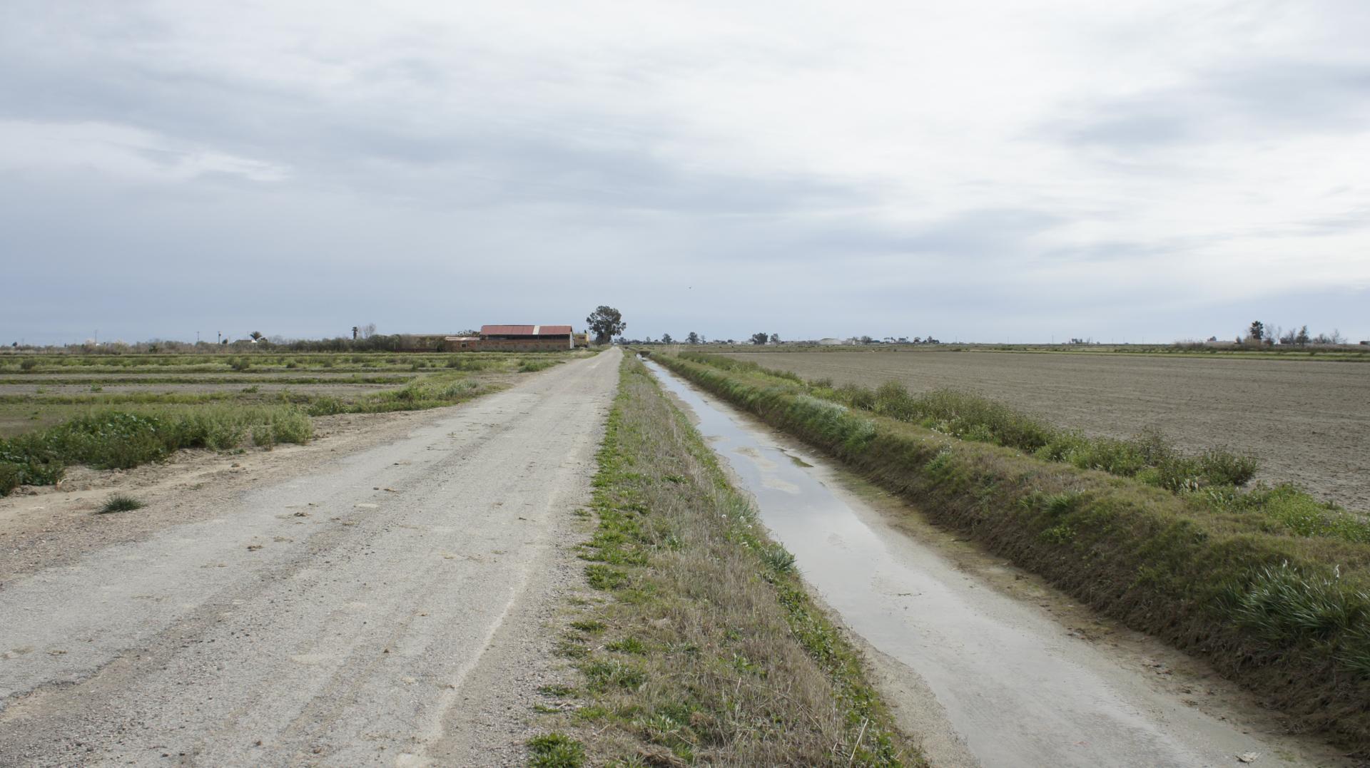
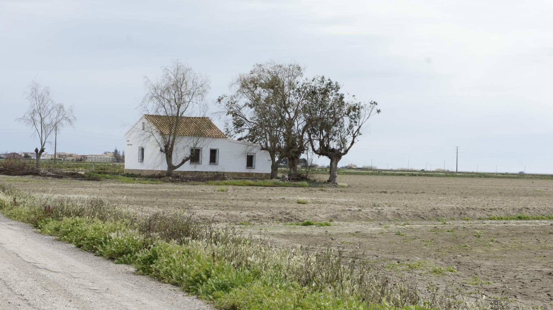
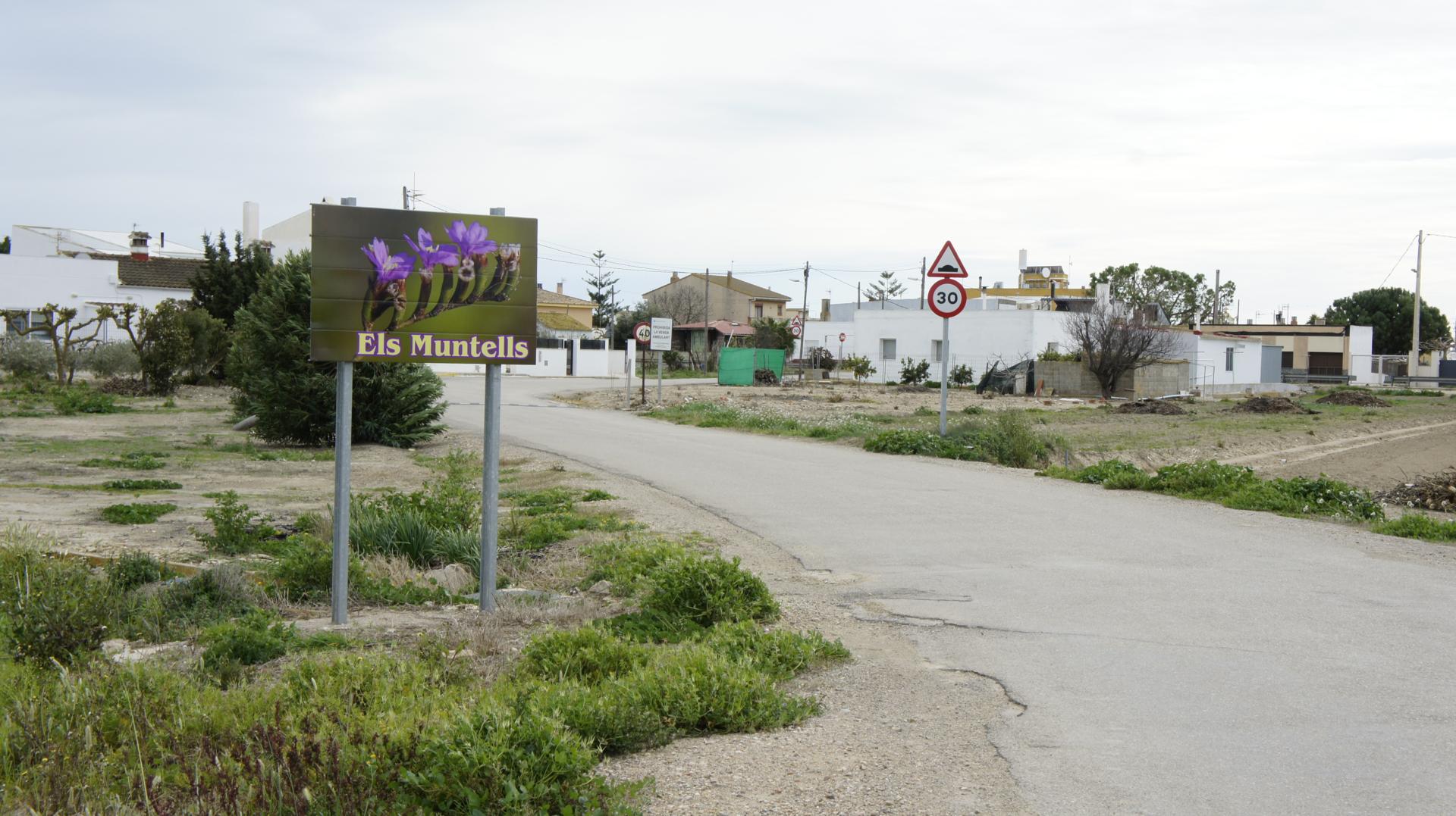
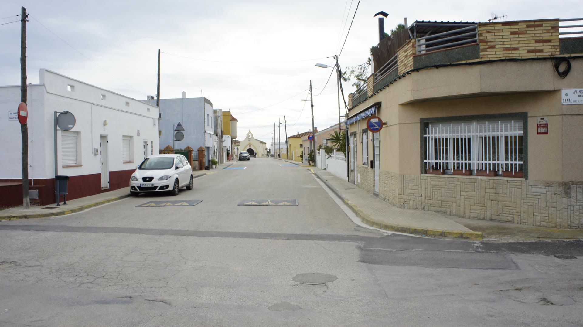
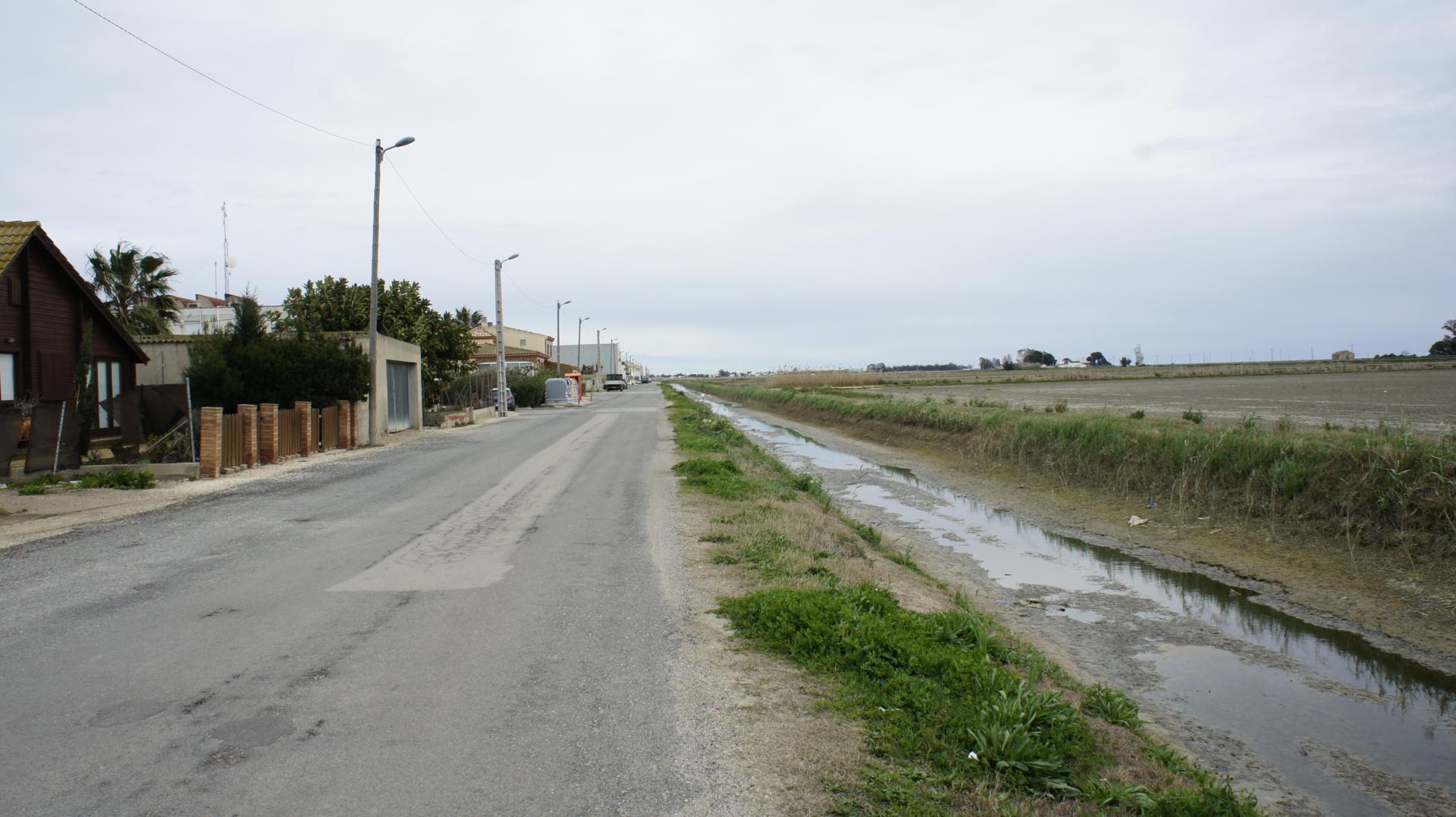
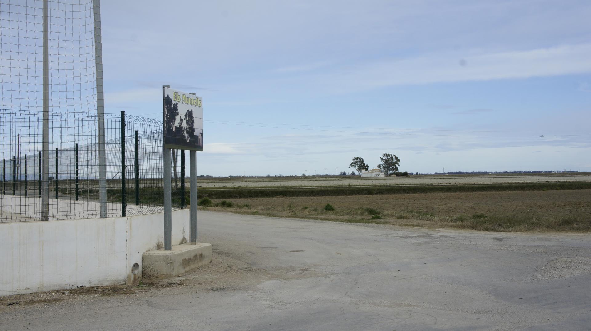
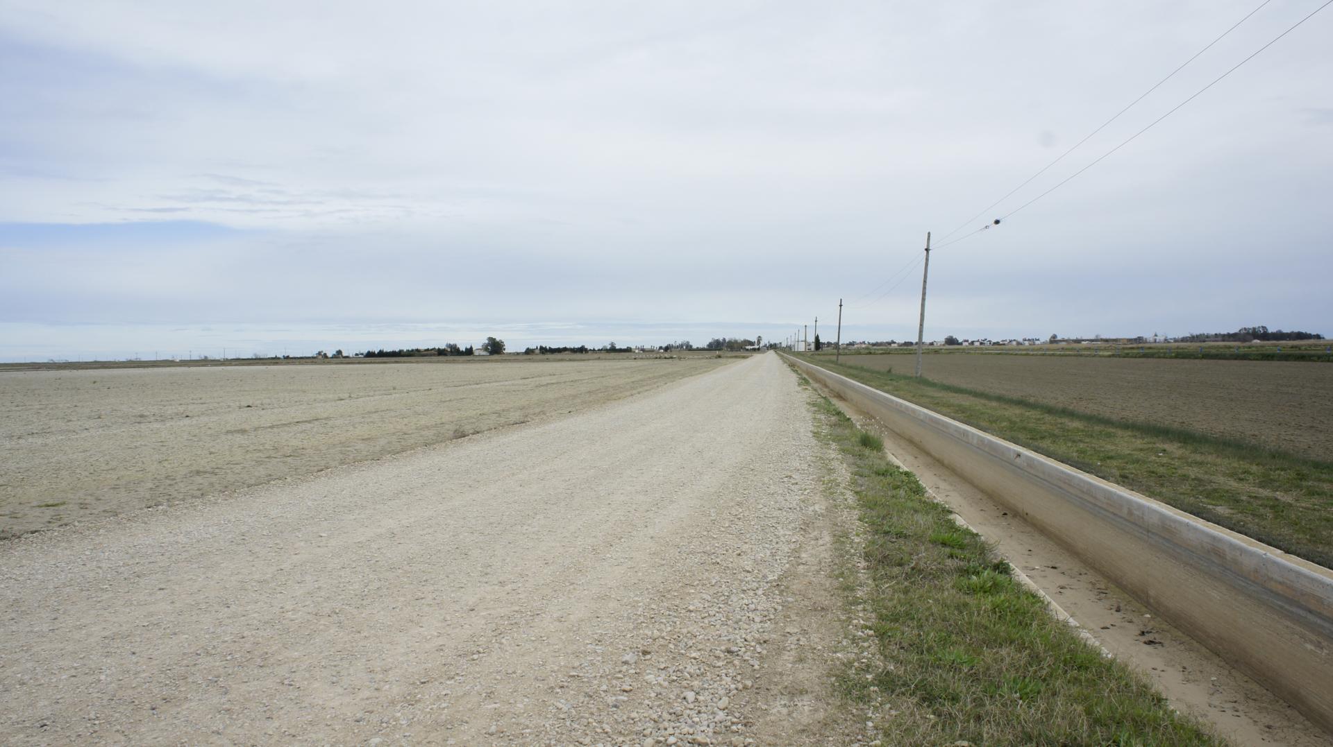
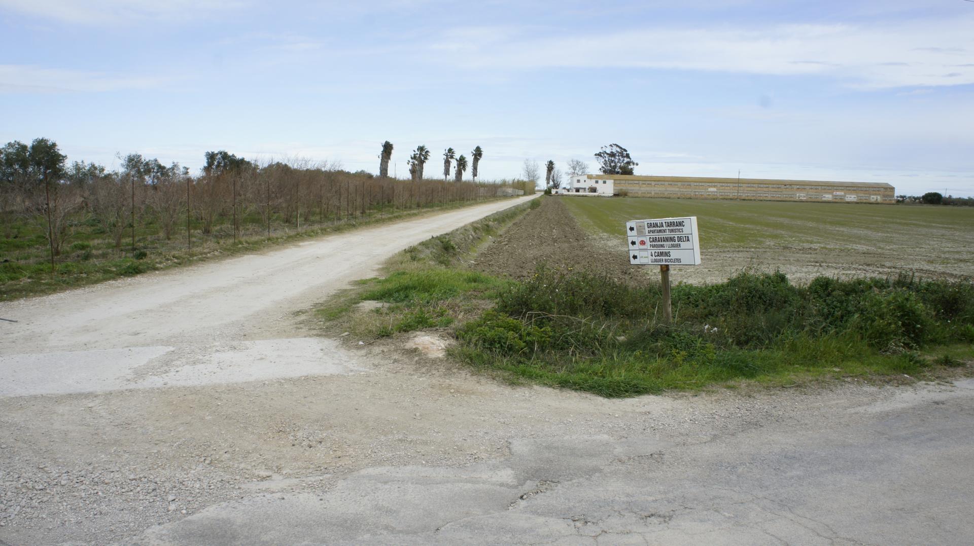
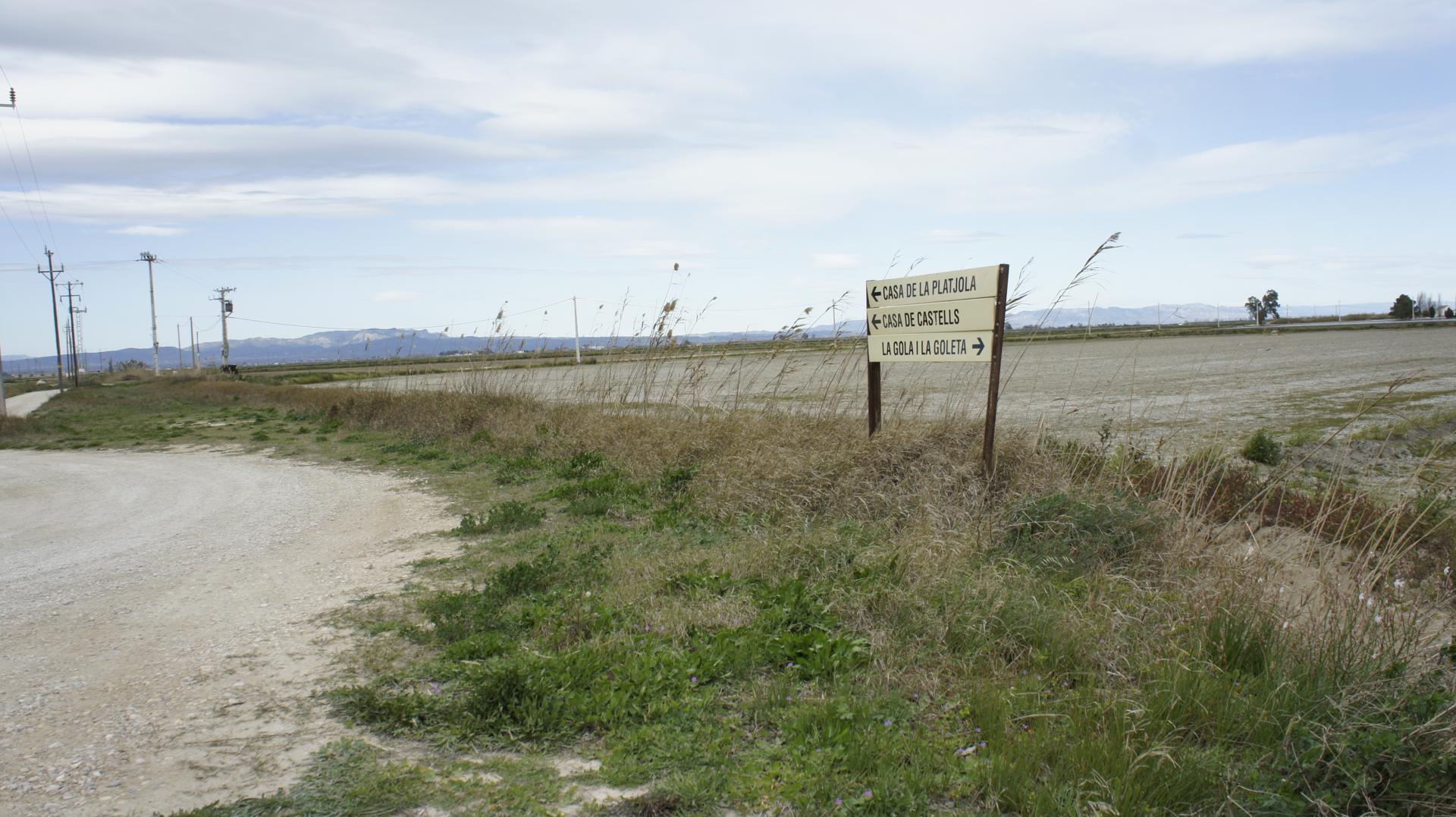
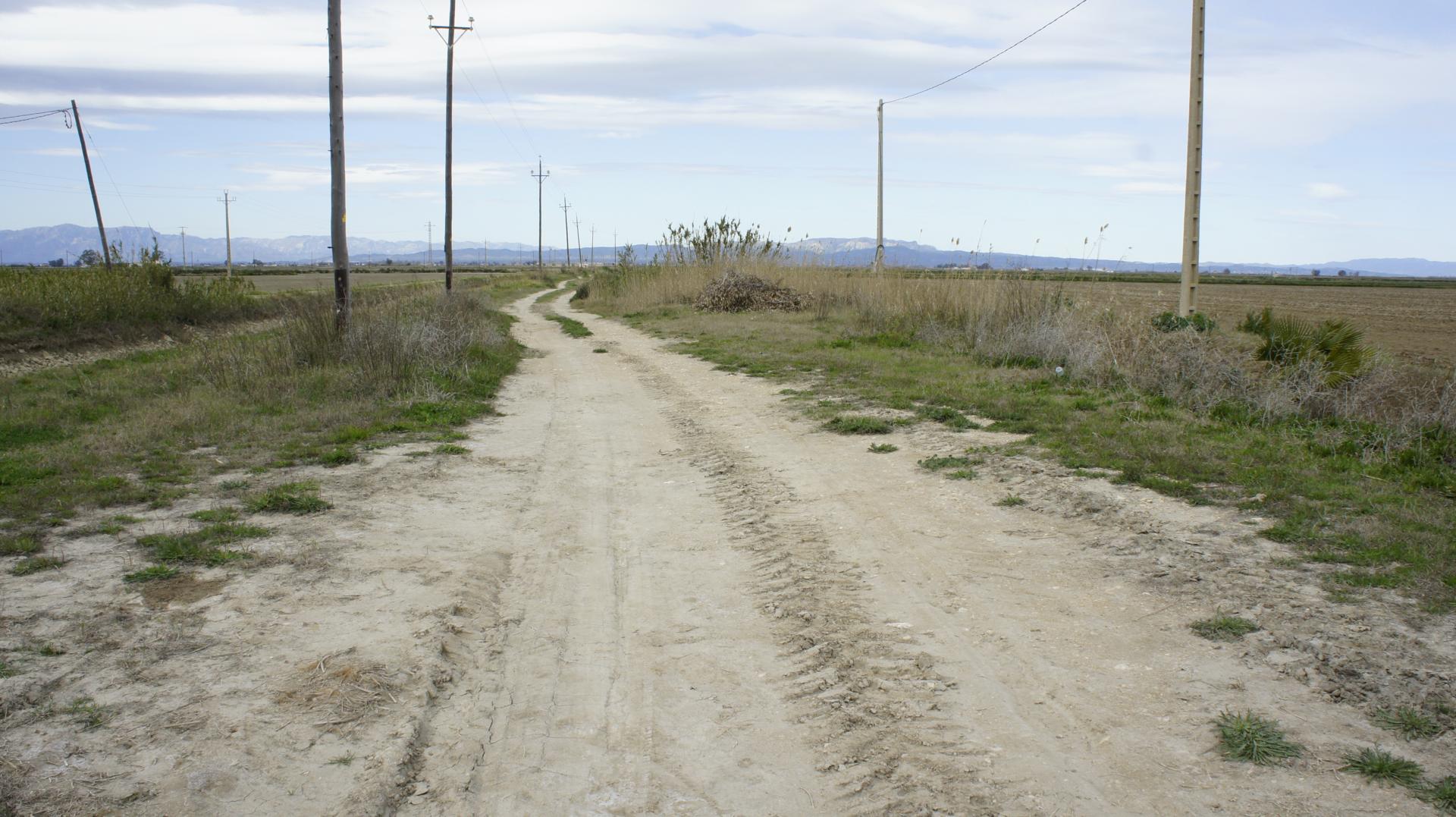
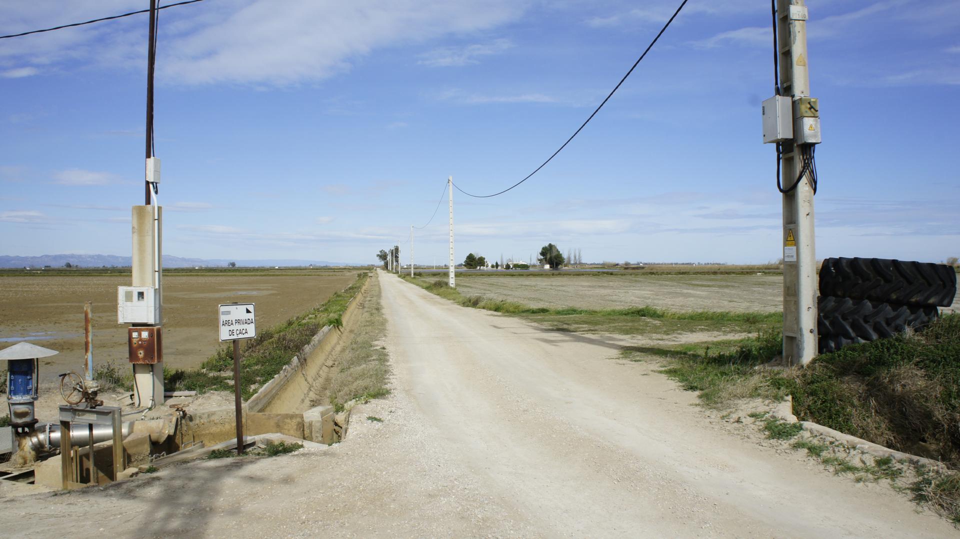
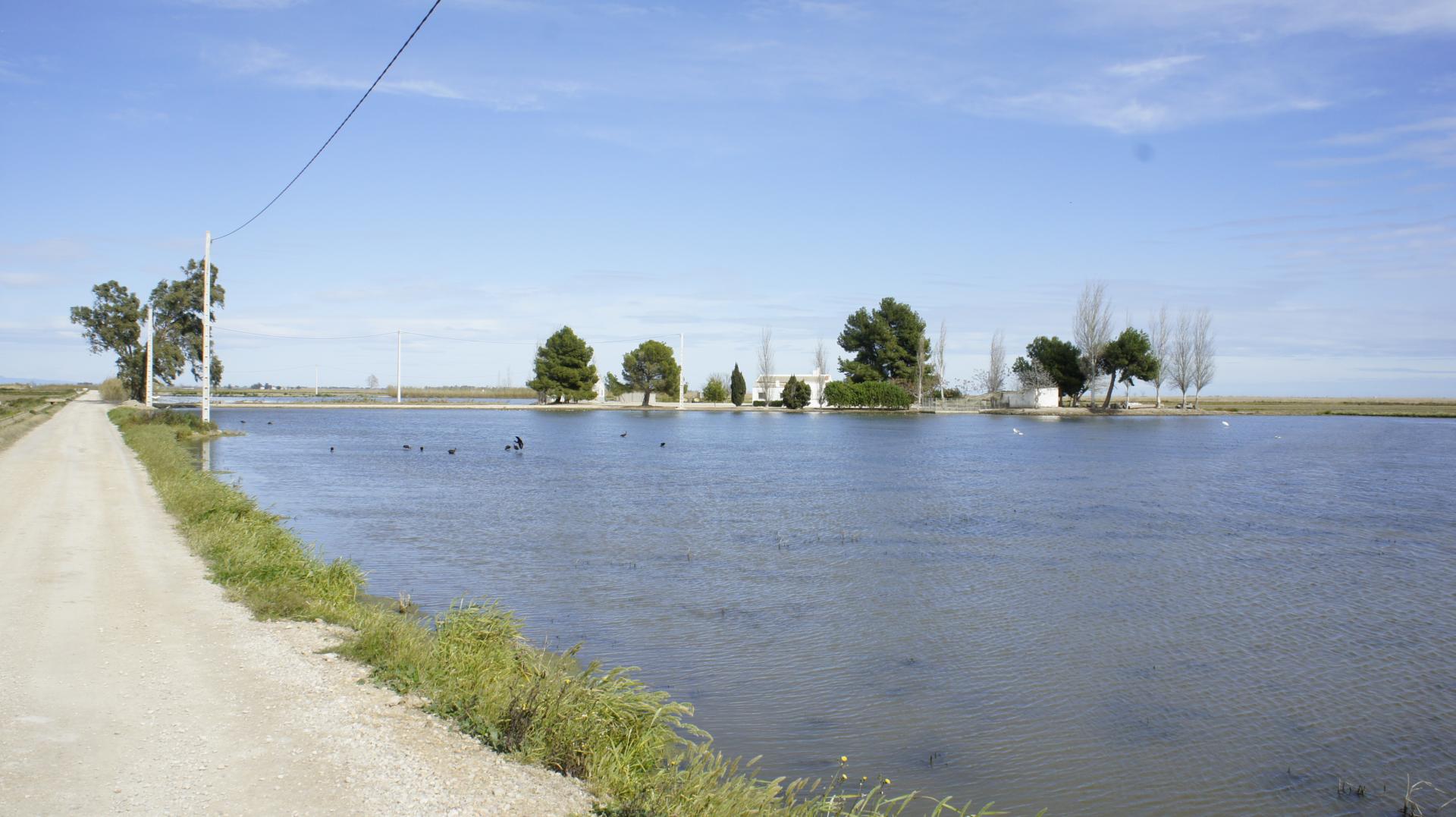
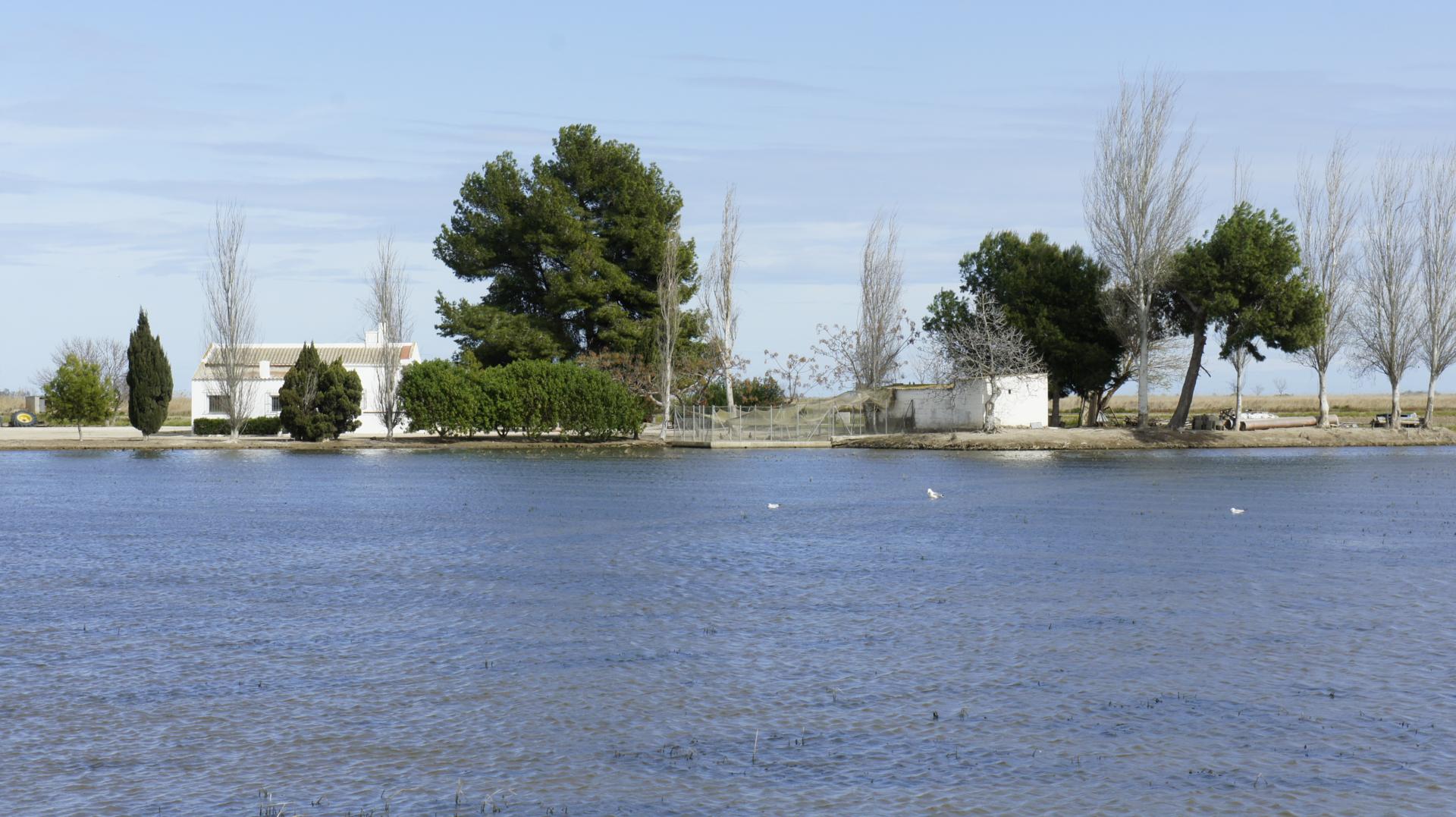
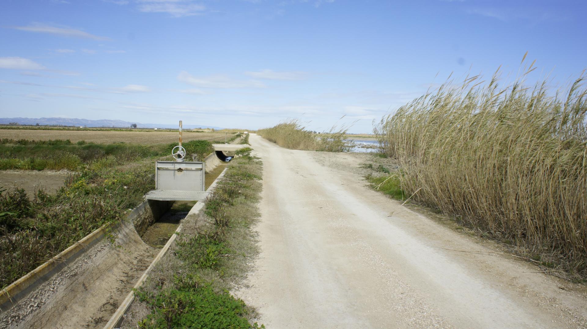
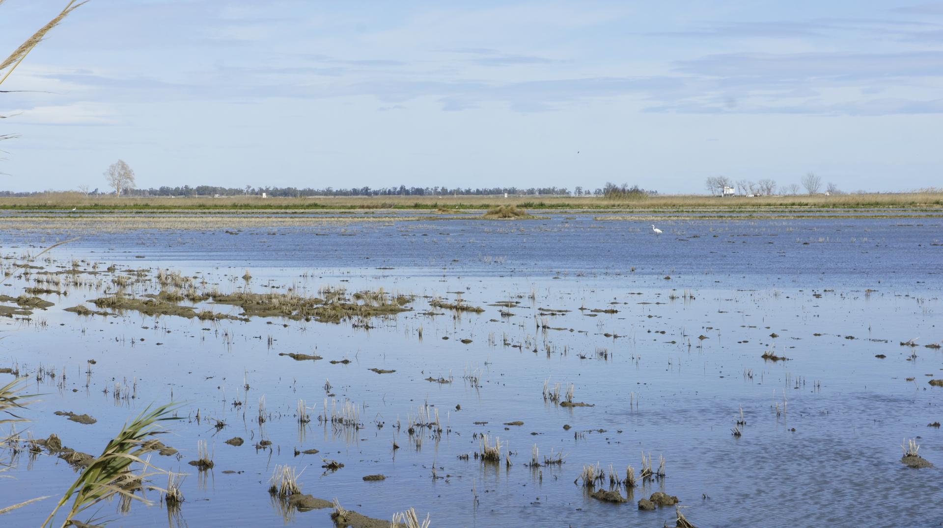
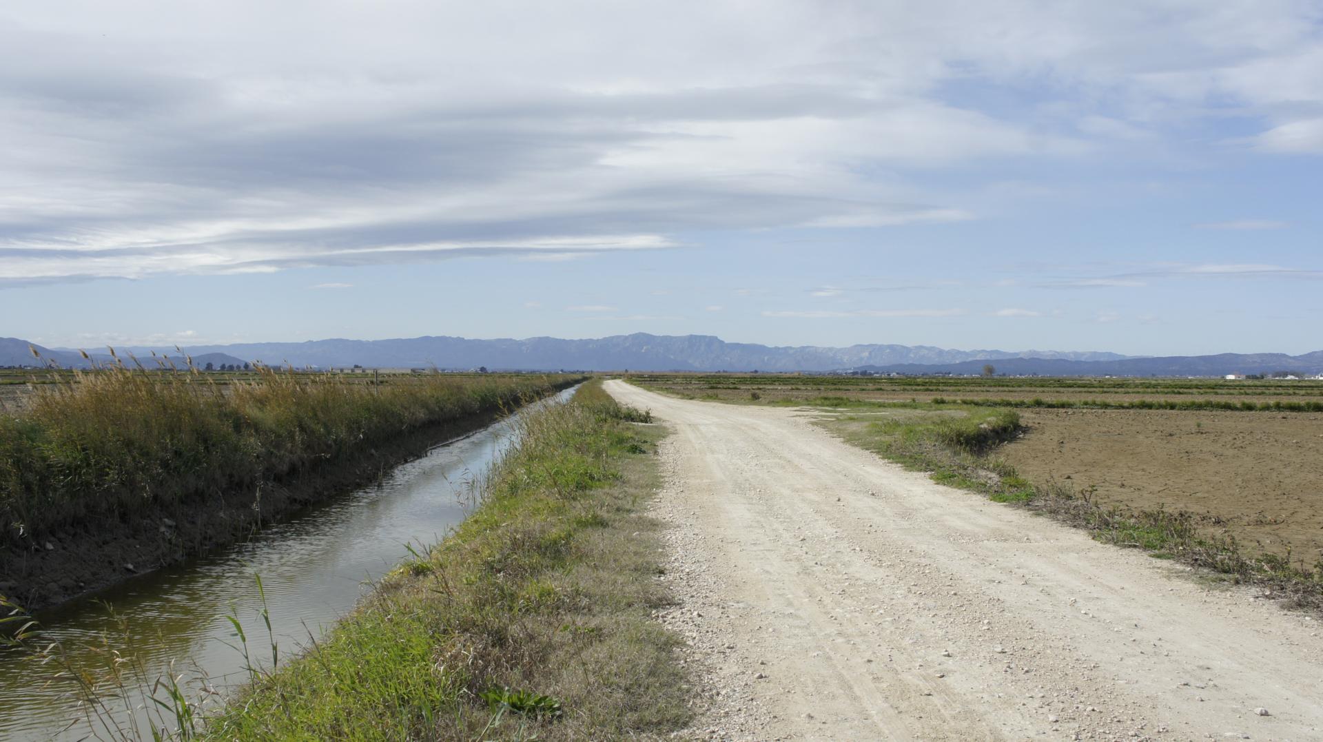
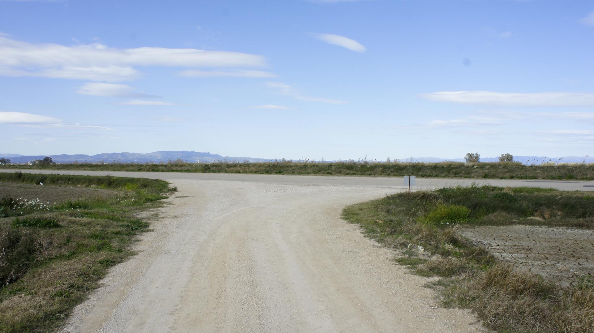
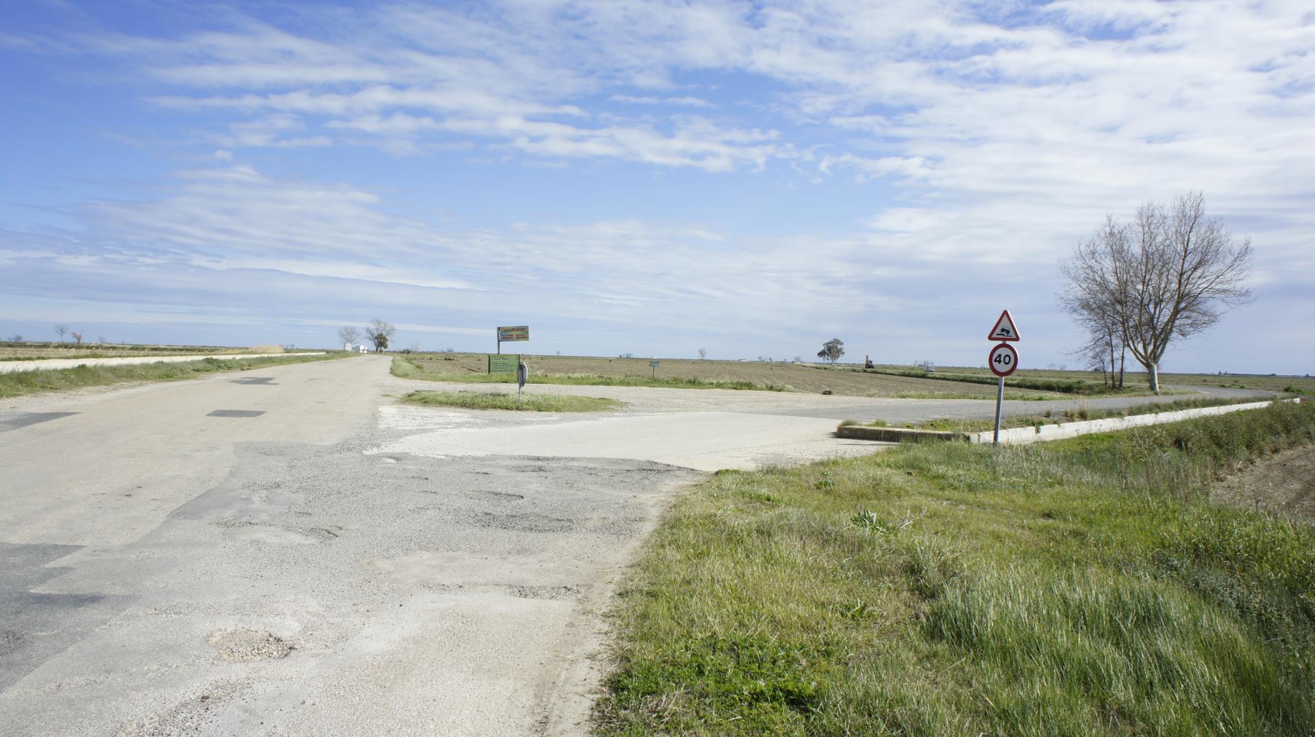
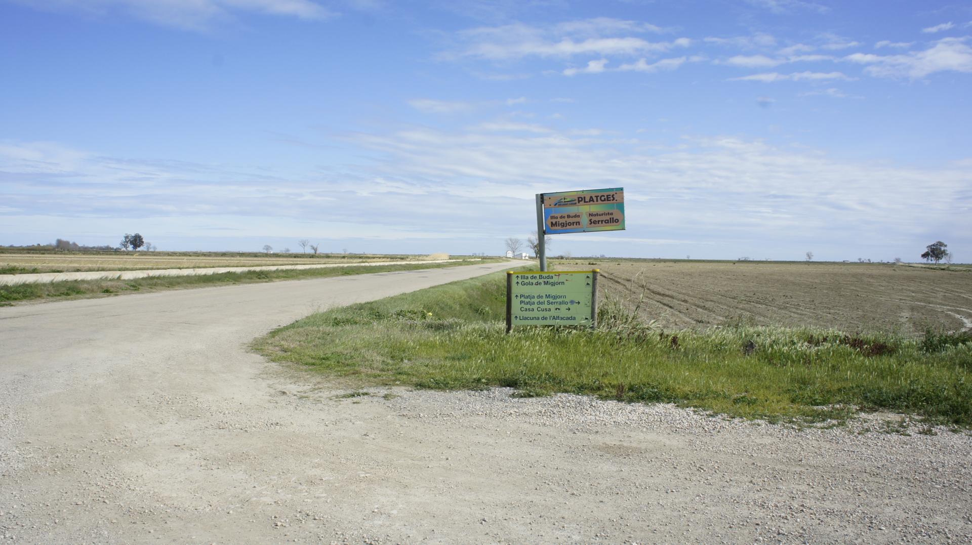
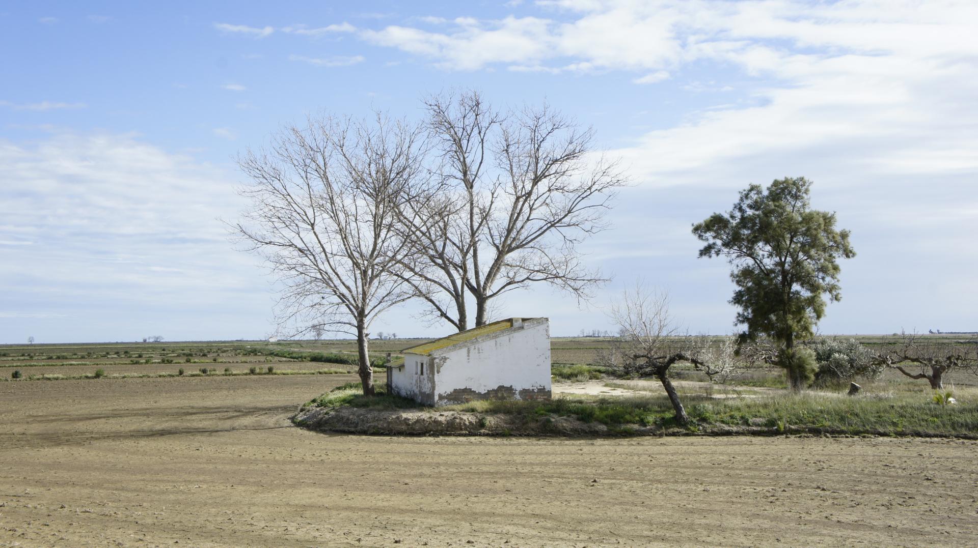
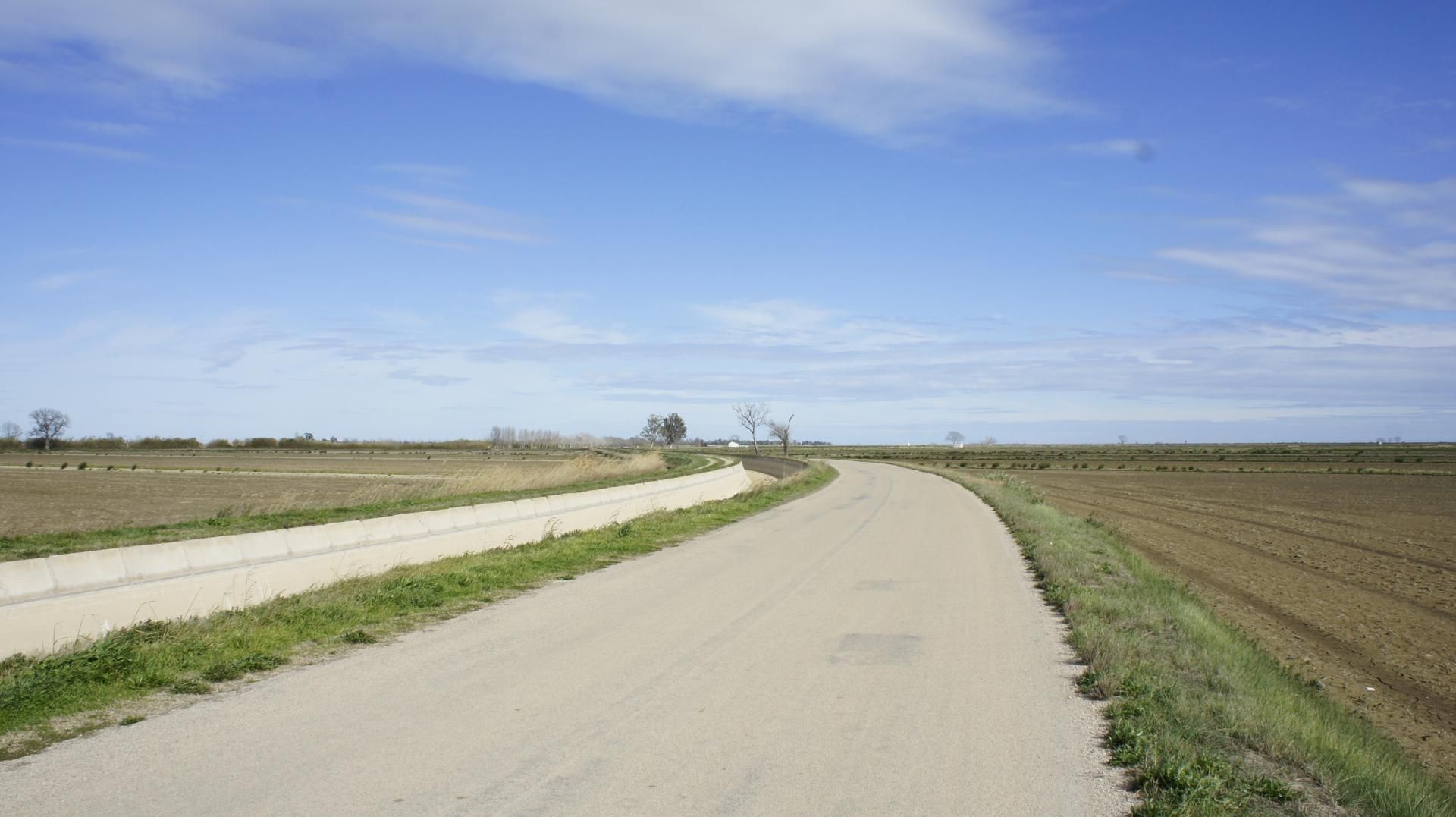
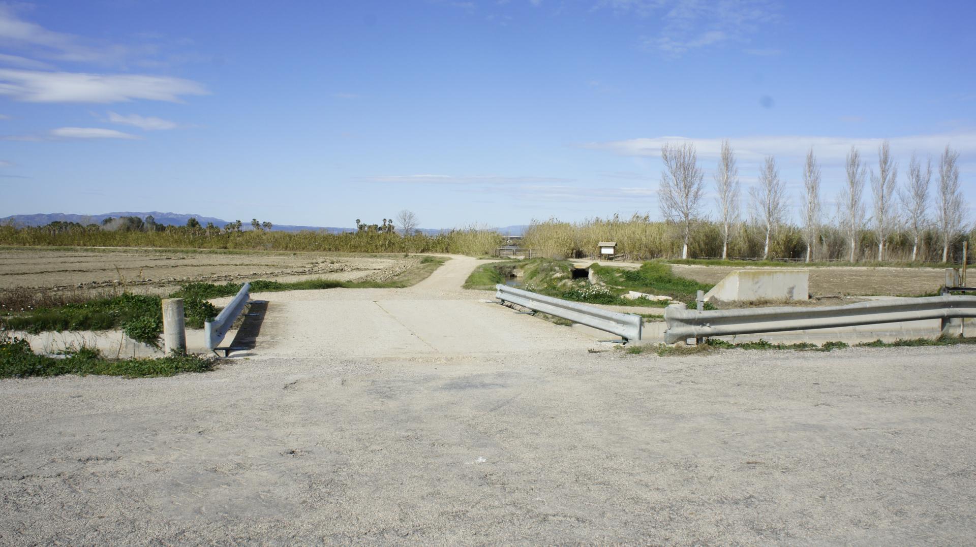
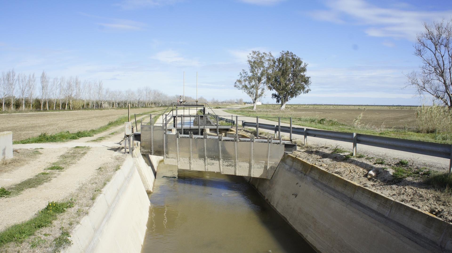
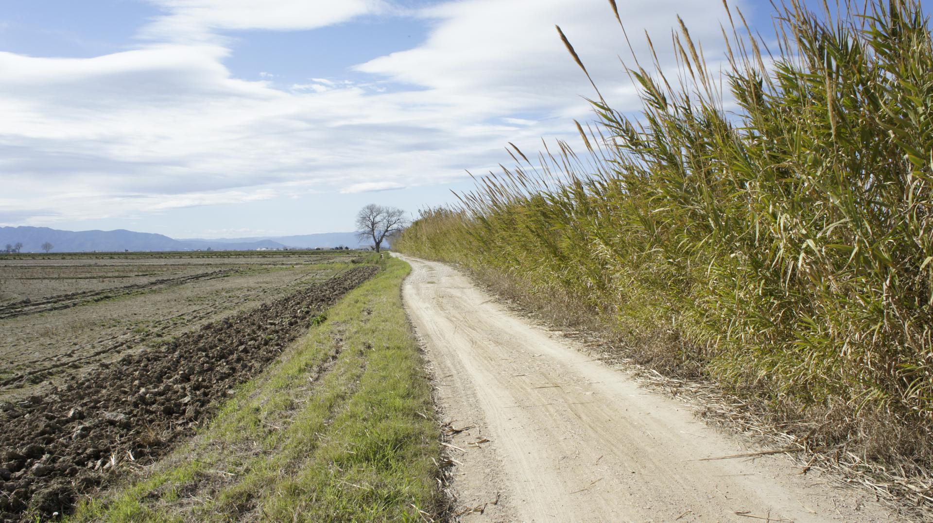
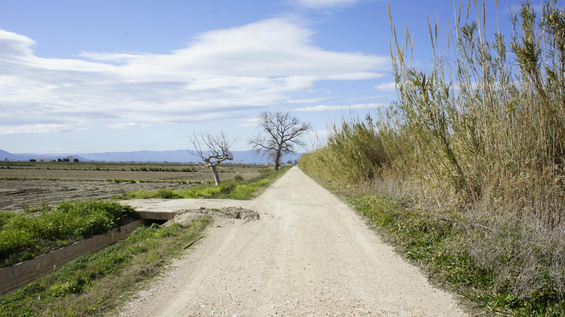
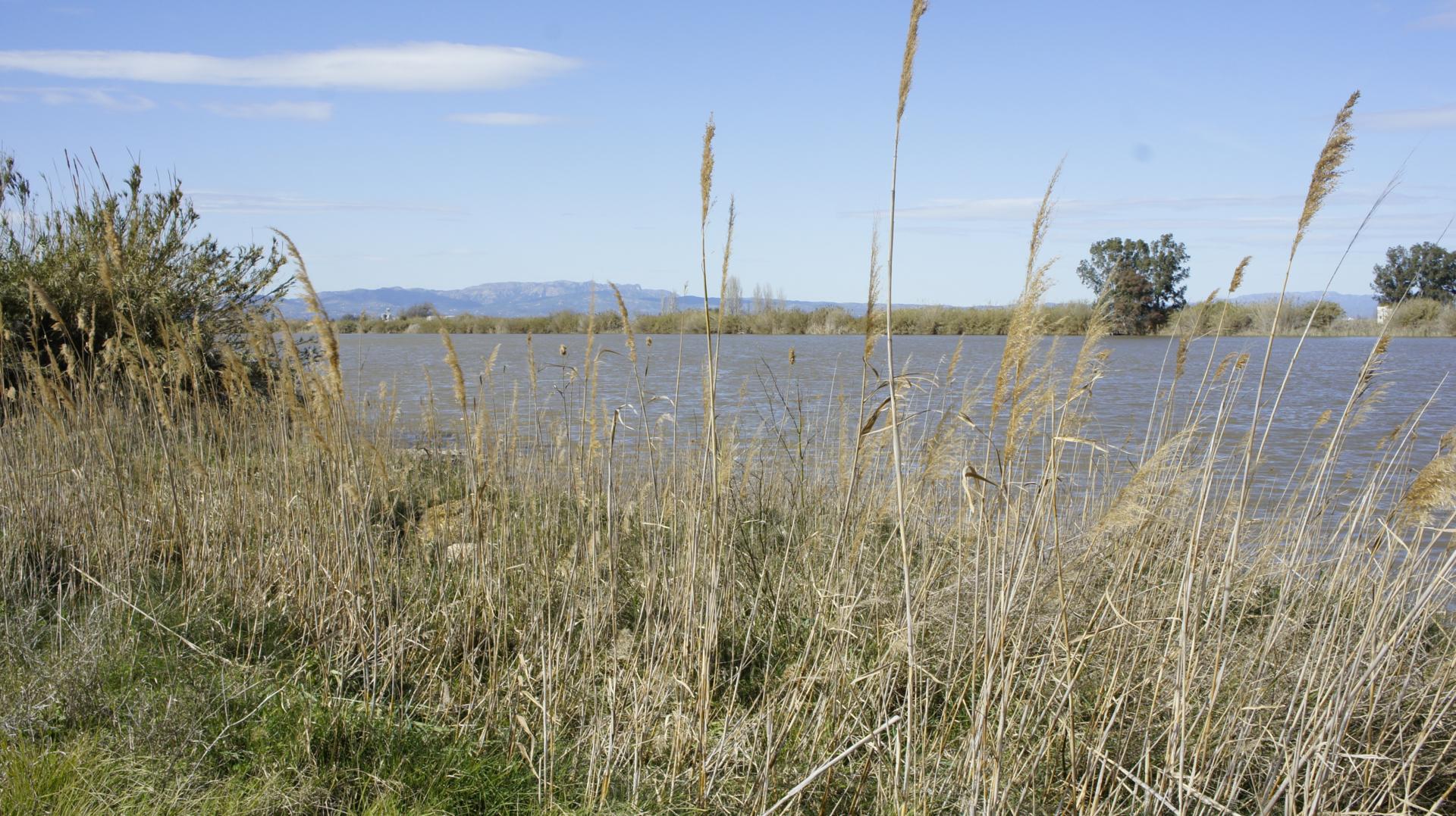
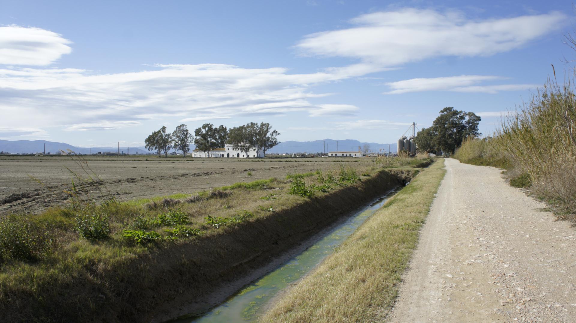
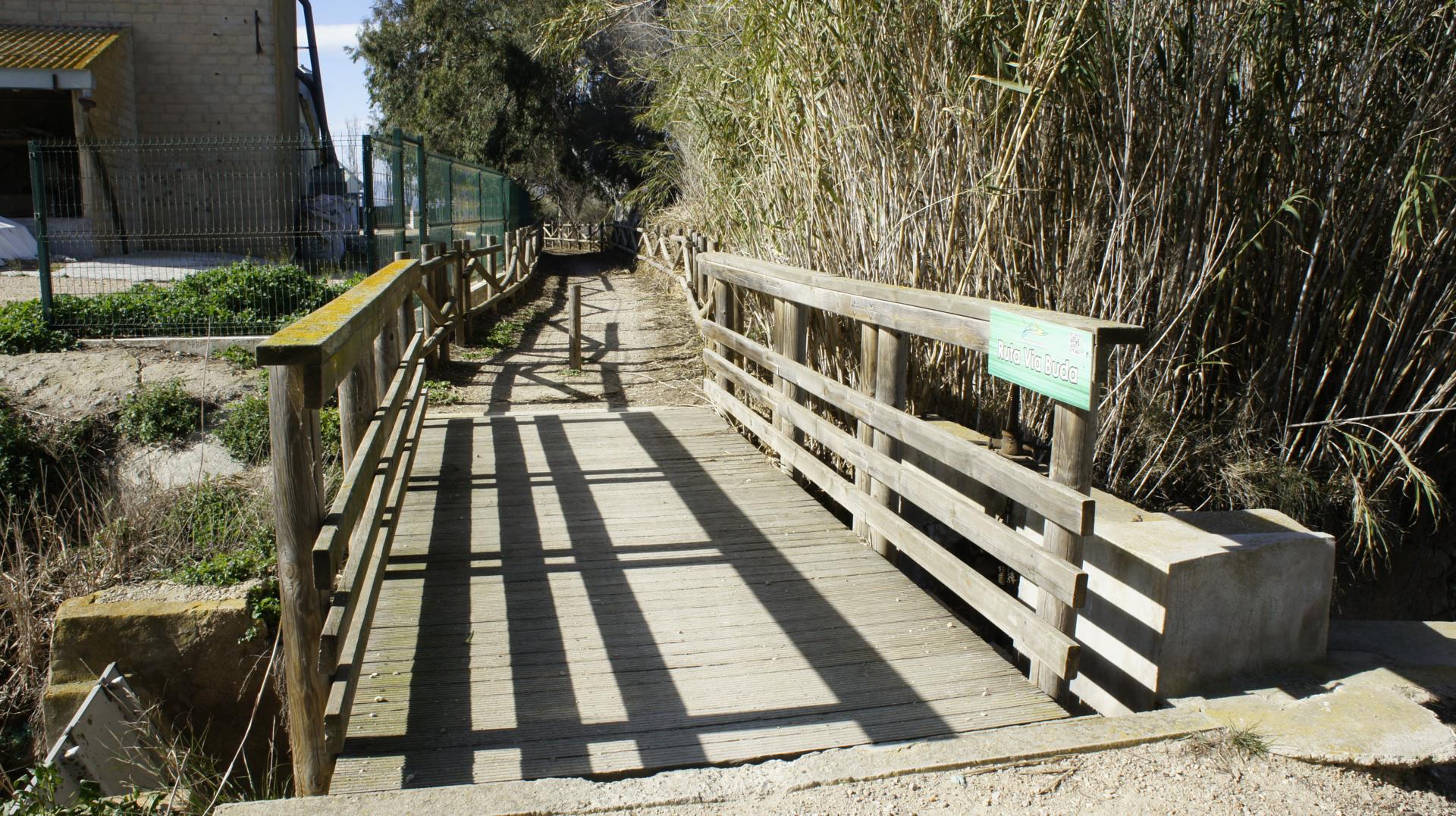
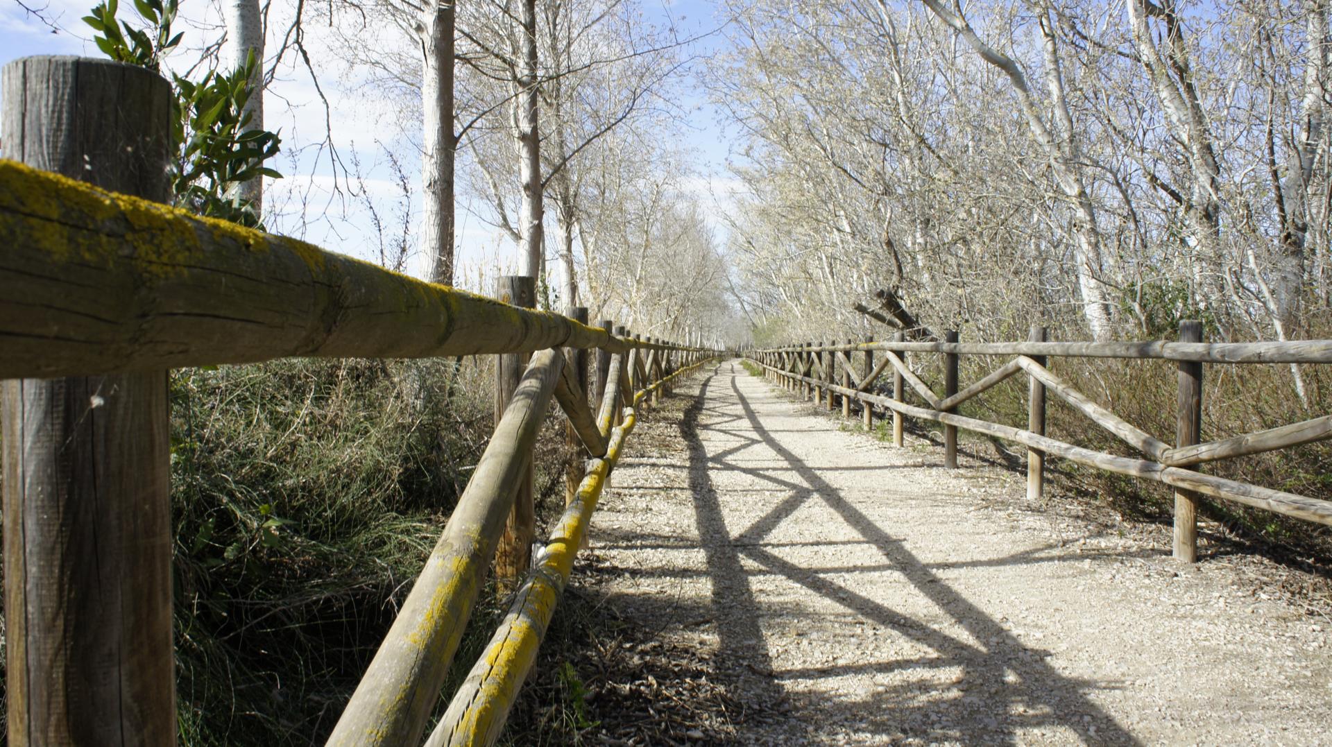
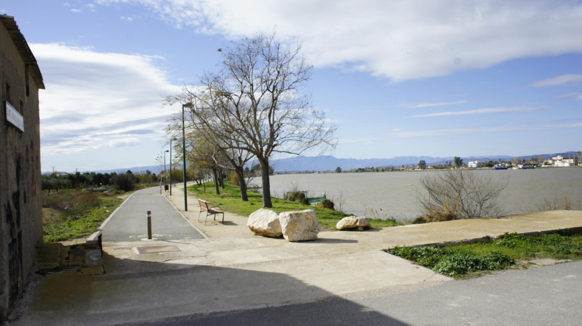
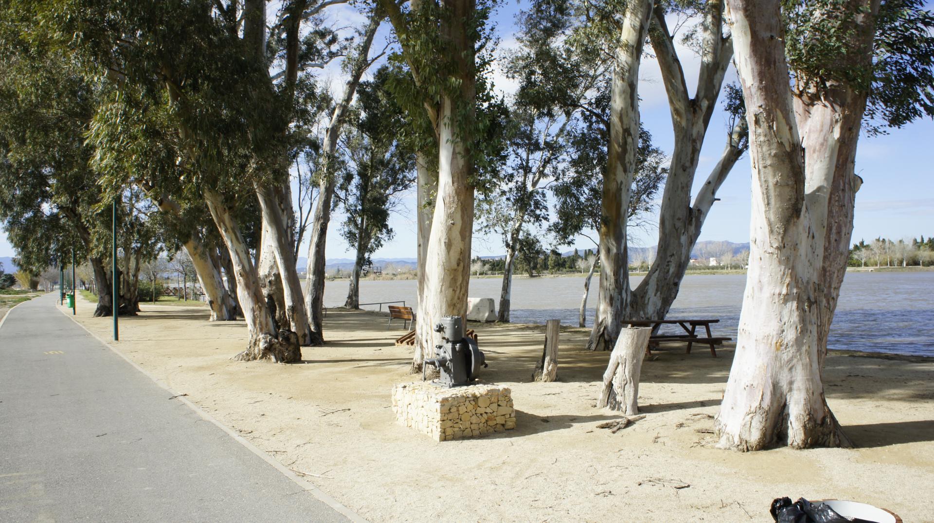
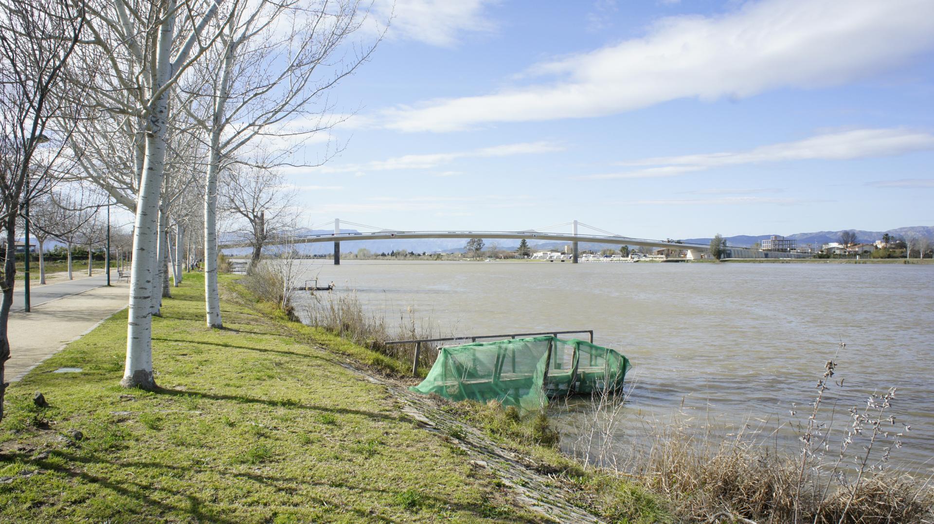
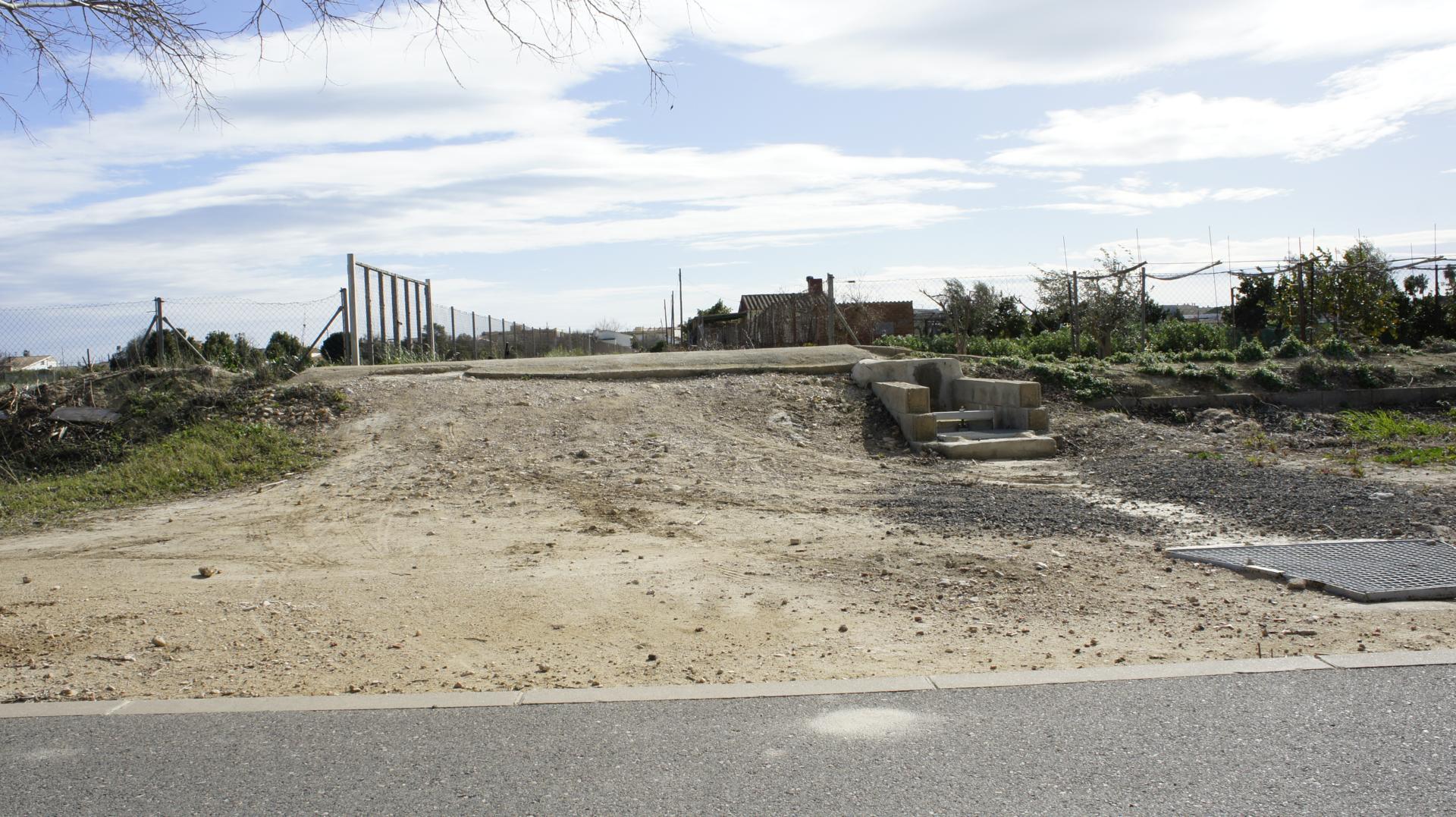
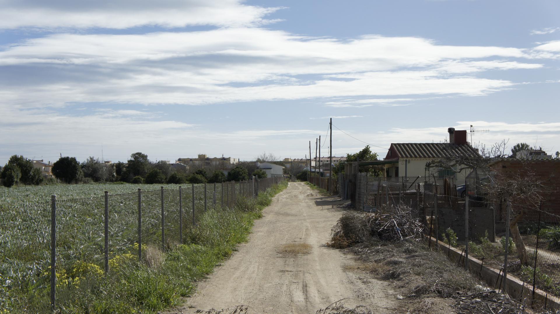
This 21K totally flat route will serve you well for training in a natural and tranquil environment that combines dirt tracks and paved streets. If you enjoy measuring your performance against others, participate in the 365×24 ranking offered through the Open Trail Races app. With this completely free app, you can also navigate the route if you don’t have a GPS device.
We’ll start from the parking area in front of the Town Hall and take the street on the left to the Main Street (Carrer Major), which we won’t leave until we exit the town. Now we’ll alternate between paved paths and dirt tracks until we reach Muntells, at km 6. We’ll arrive at the village square with the Parish Church of Sant Llorenç where we’ll turn left to cross the village, and we’ll continue along the track leaving the school behind until after the Riet Vell lagoon we’ll turn left onto a track with the Bassa de la Platjola pond on our right. We’ll continue along the track until we reach Carretera de Mitjorn, where we’ll turn right, continuing a little more than 1 km until we reach a turnoff on the left that will take us to the parking of the Bosc de Ribera, where we’ll turn left to take the greenway (Via Verda), at km 14.1. We won’t leave this river walk until we reach the vicinity of Sant Jaume d’Enveja, at km 20.7, where we’ll turn left onto a track that among crops will lead us to Avinguda Catalunya, where we’ll turn right to quickly find the Town Hall.
This route is completely suitable for cycling and can be done calmly with the family, enjoying a pleasant walk that skirts the Ebro, the rice fields, and the typical lagoons of the area.
Note: If we encounter a stretch of road and are on foot, we will always walk on the left and with great caution. Special attention should be paid when crossing a road.


