TRAIL RUNNING IN ENCAMP

Keep in mind that weather forecasts in high mountains may be different.
TRAIL CAP DELS AGOLS
Total distance: 38 Km
Elevation gain: 2800 m
Start point: Encamp
Finish point: Encamp
Min. height: 1250 m. (Encamp)
Max. height: 2780 m. (Pic de Montmalús)
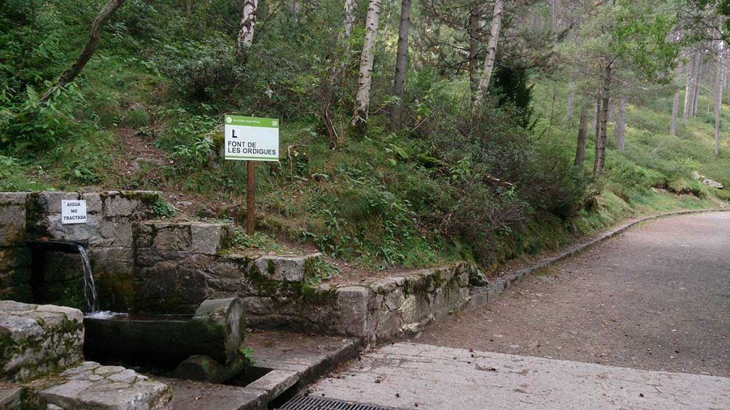
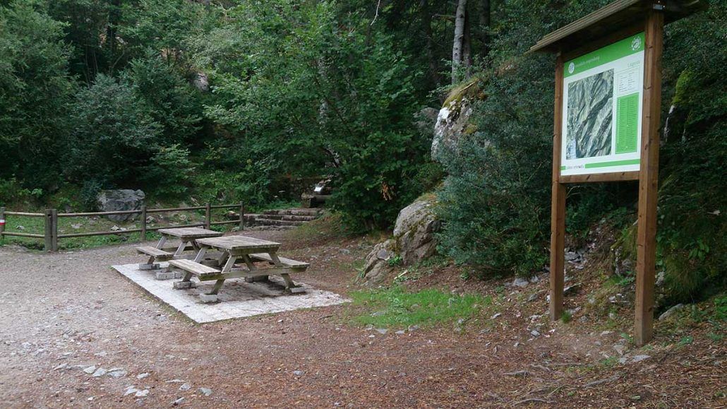
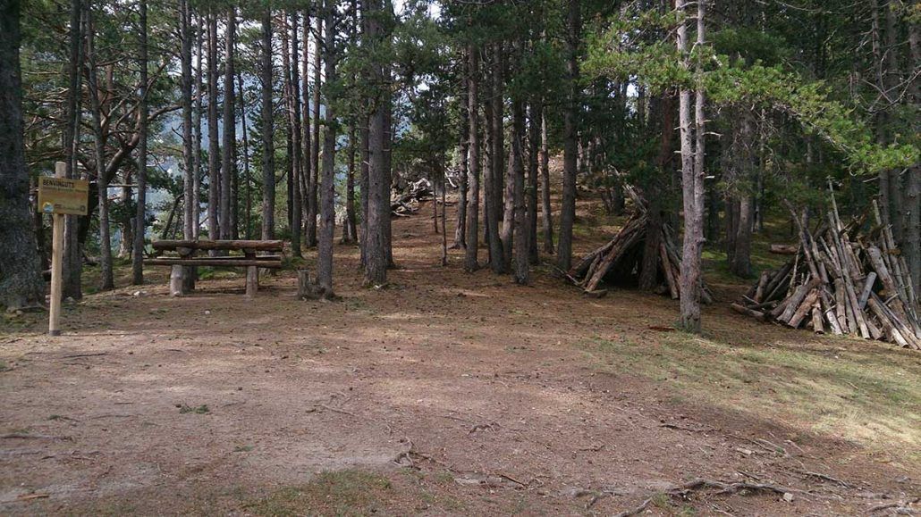
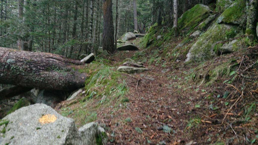
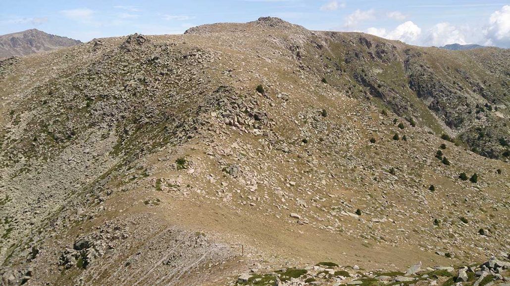
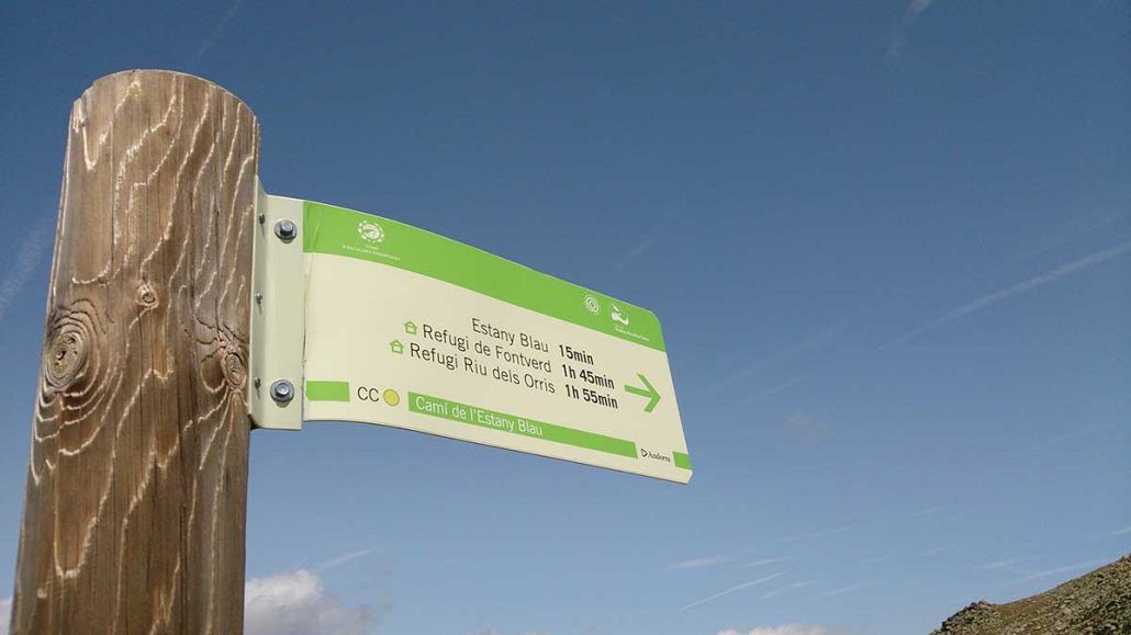
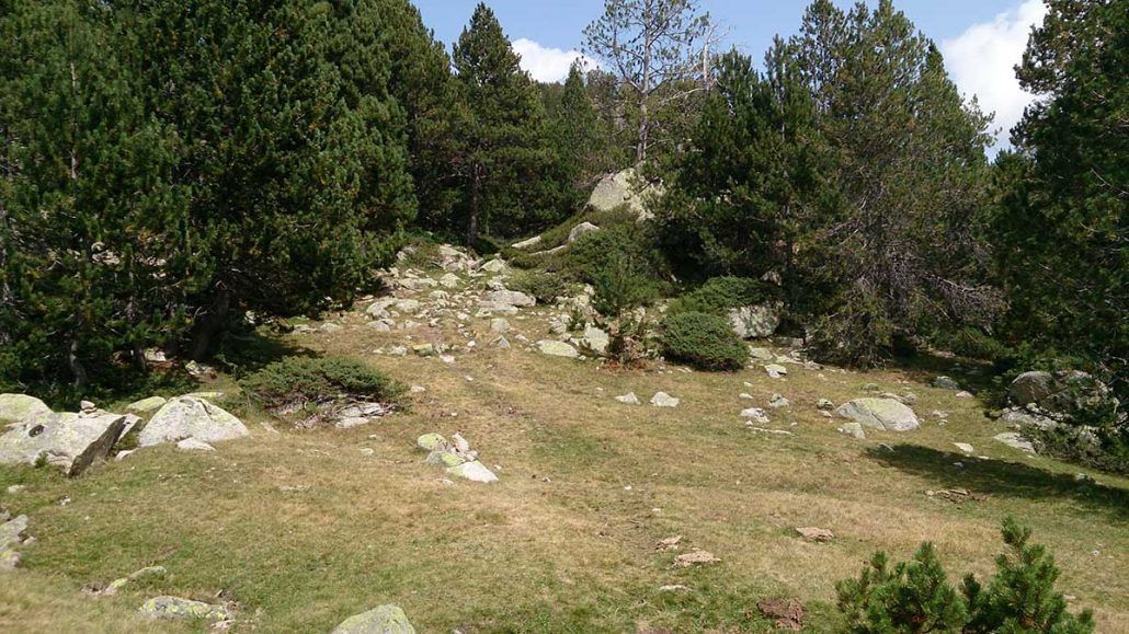
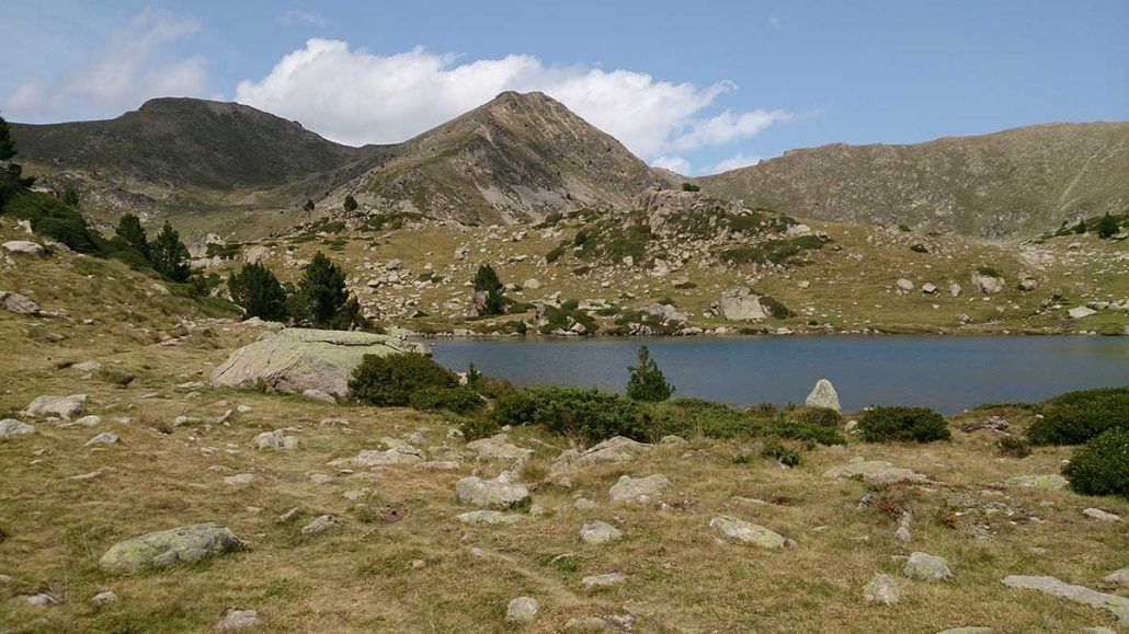
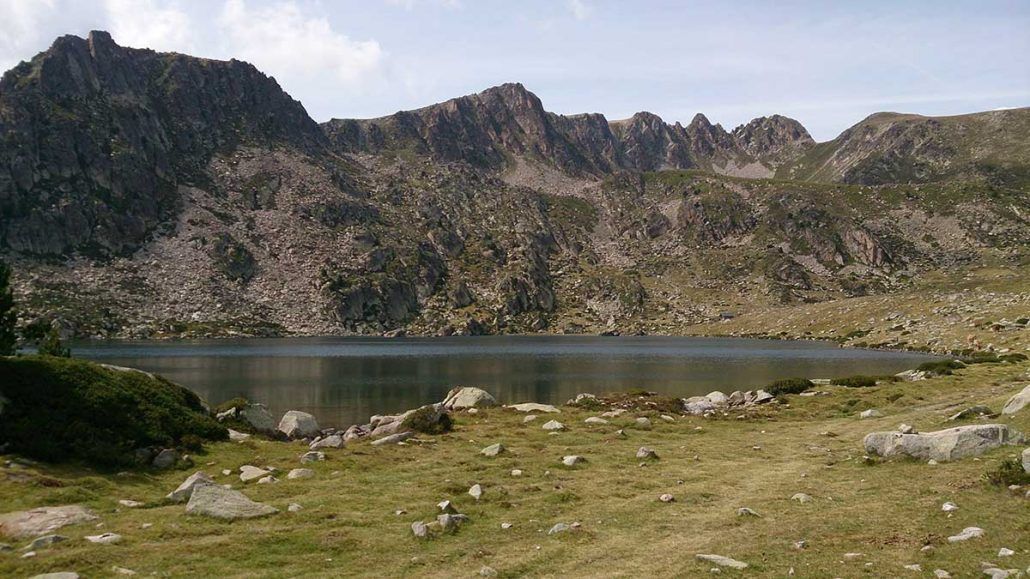
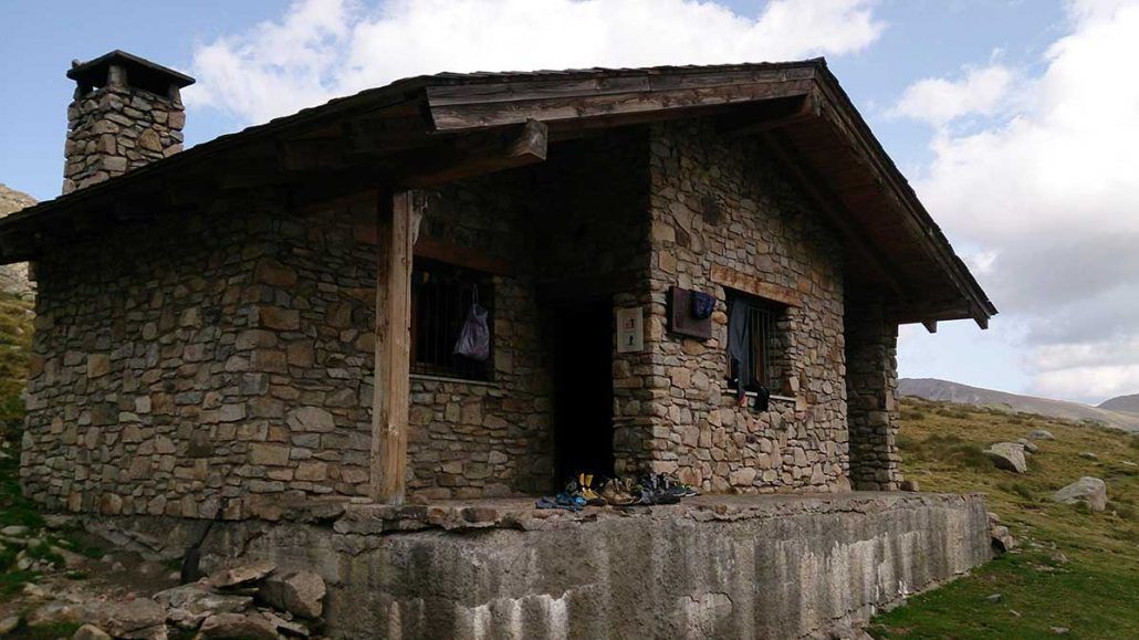
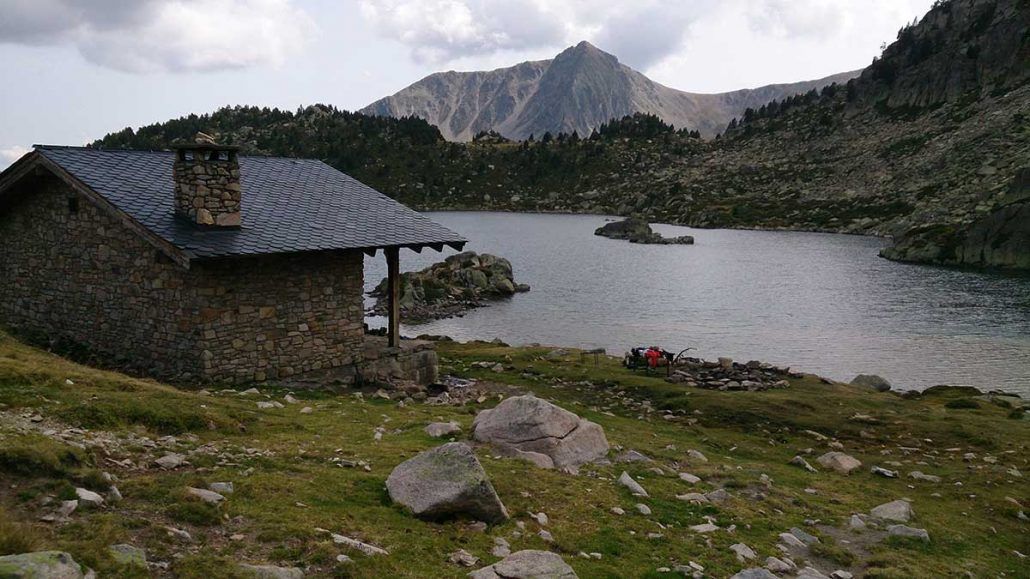
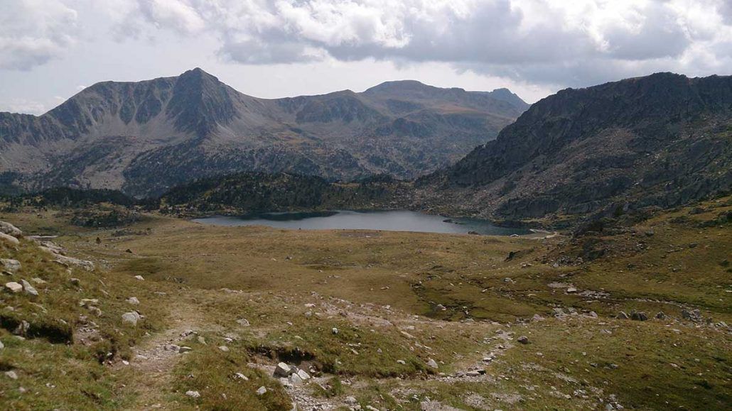
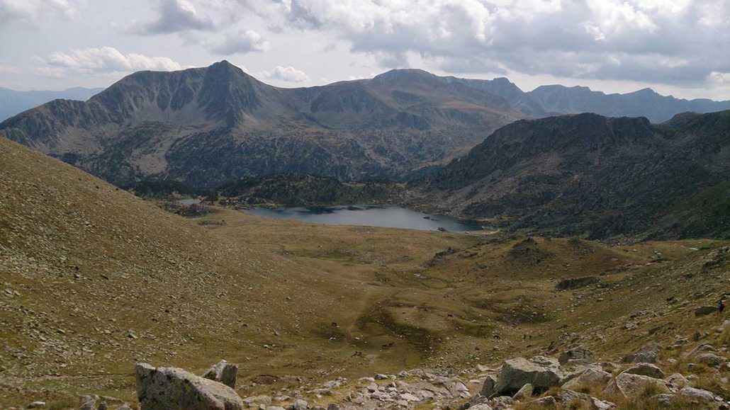
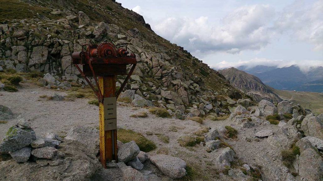
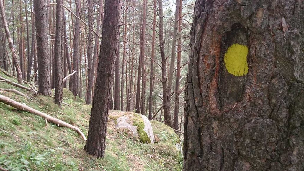
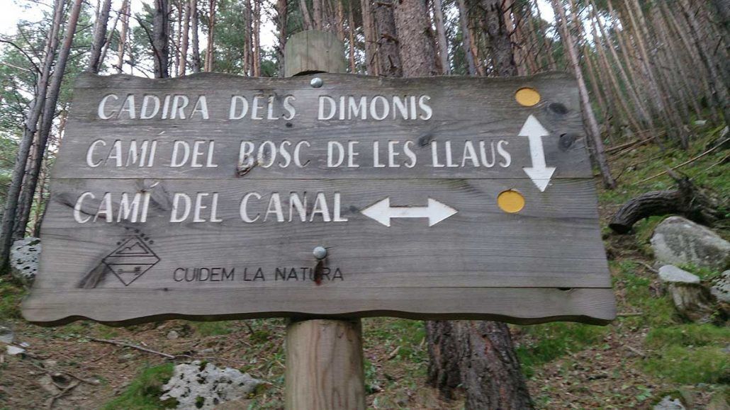
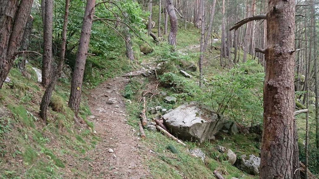
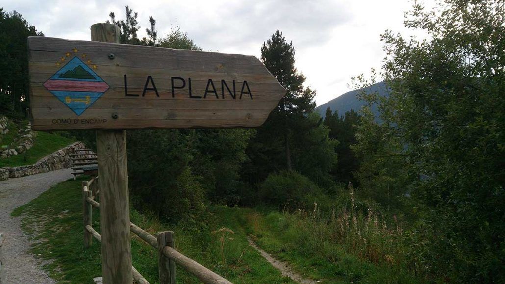
Photos in the direction of the route
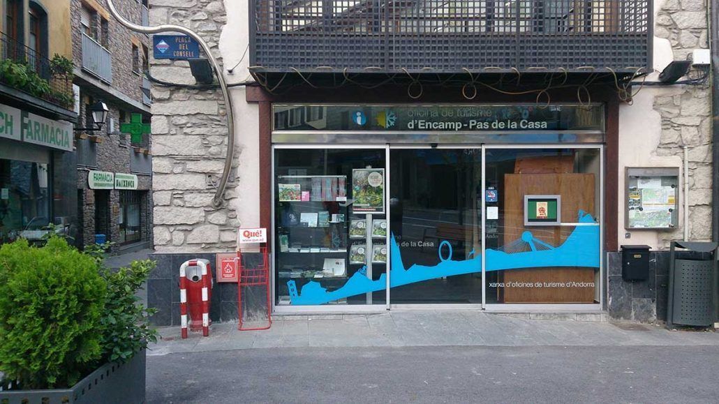
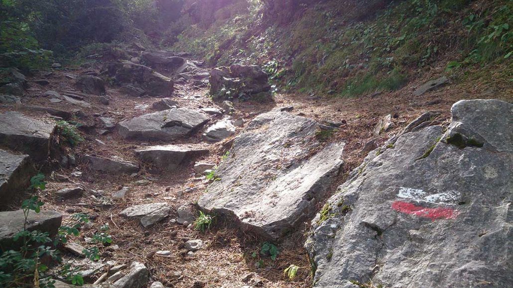
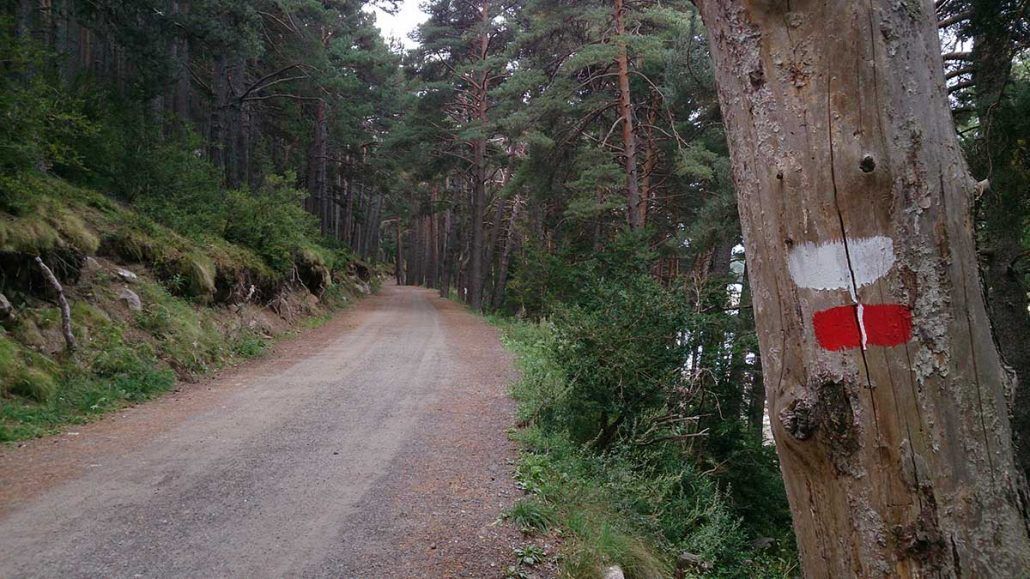
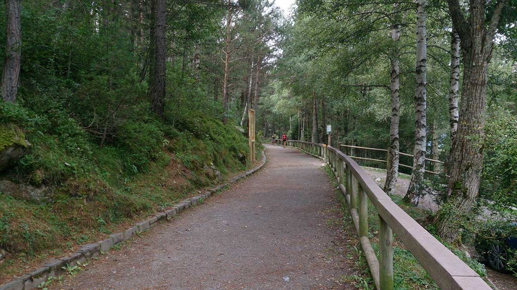
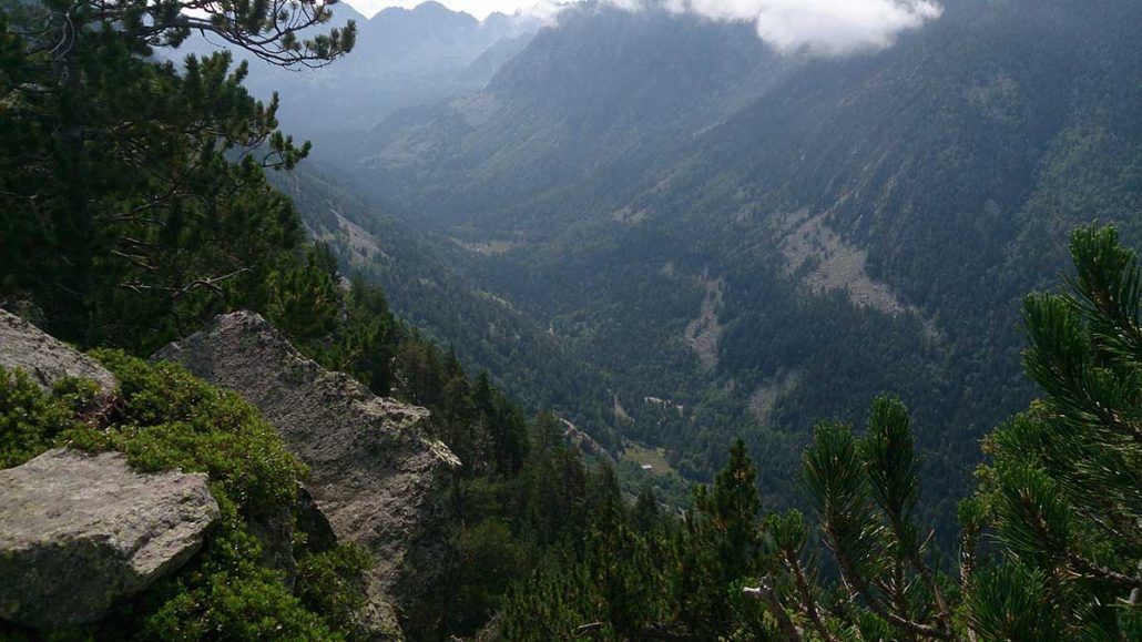
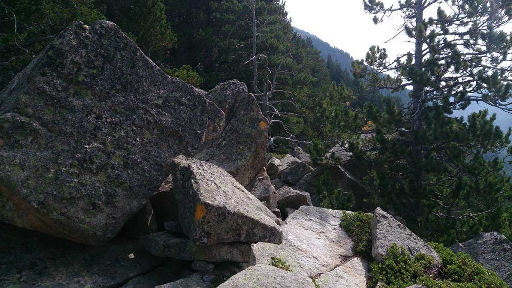
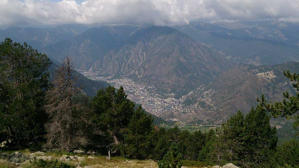
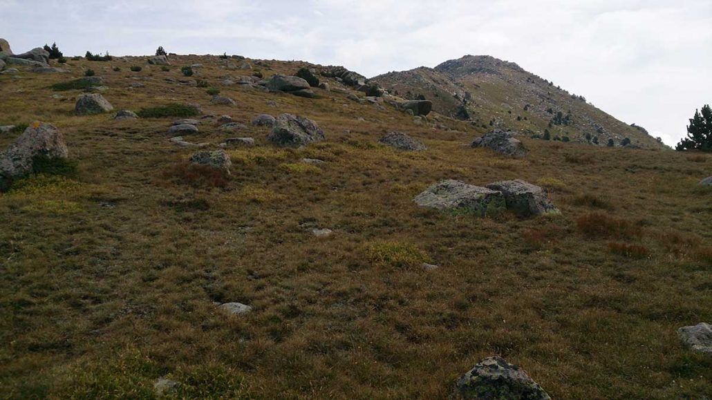
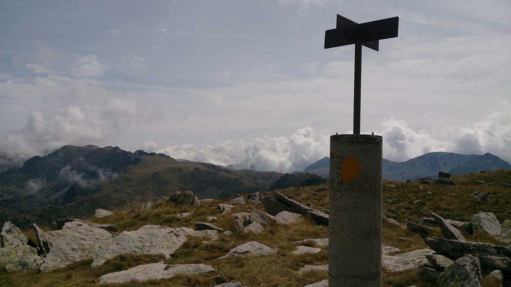
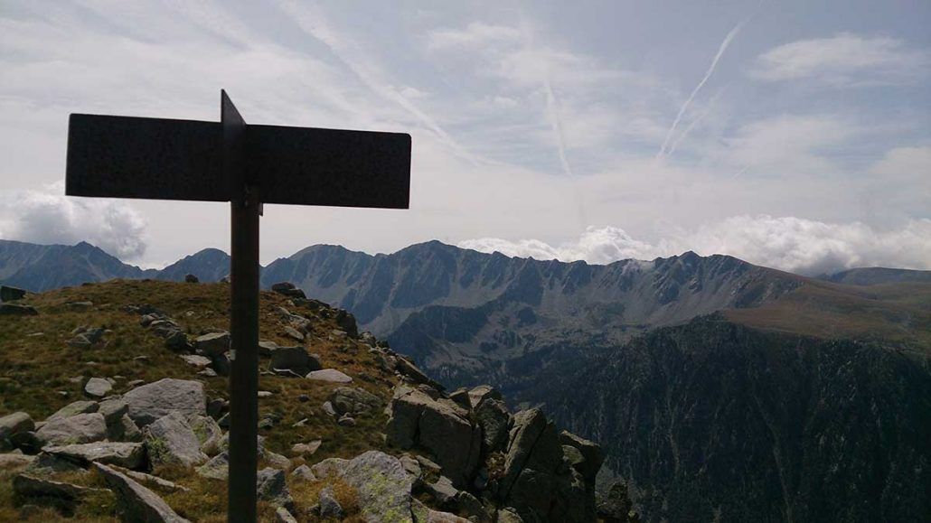
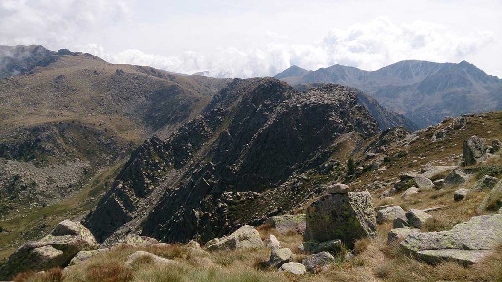
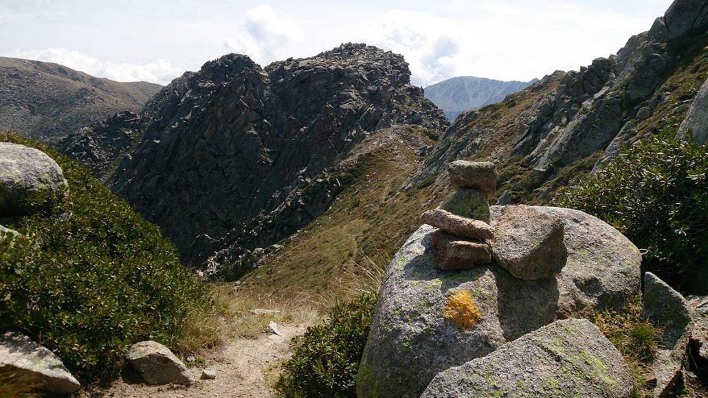
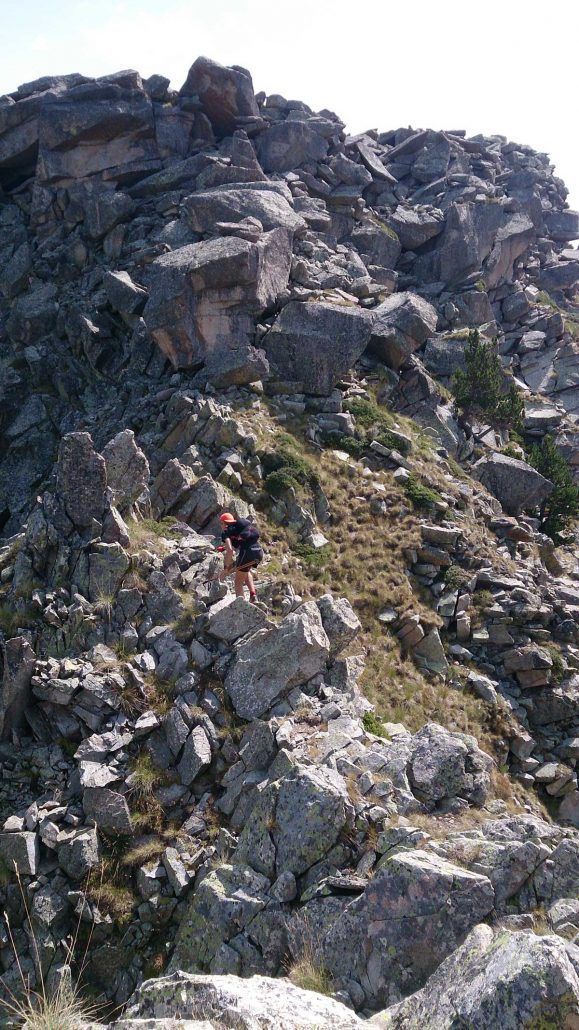
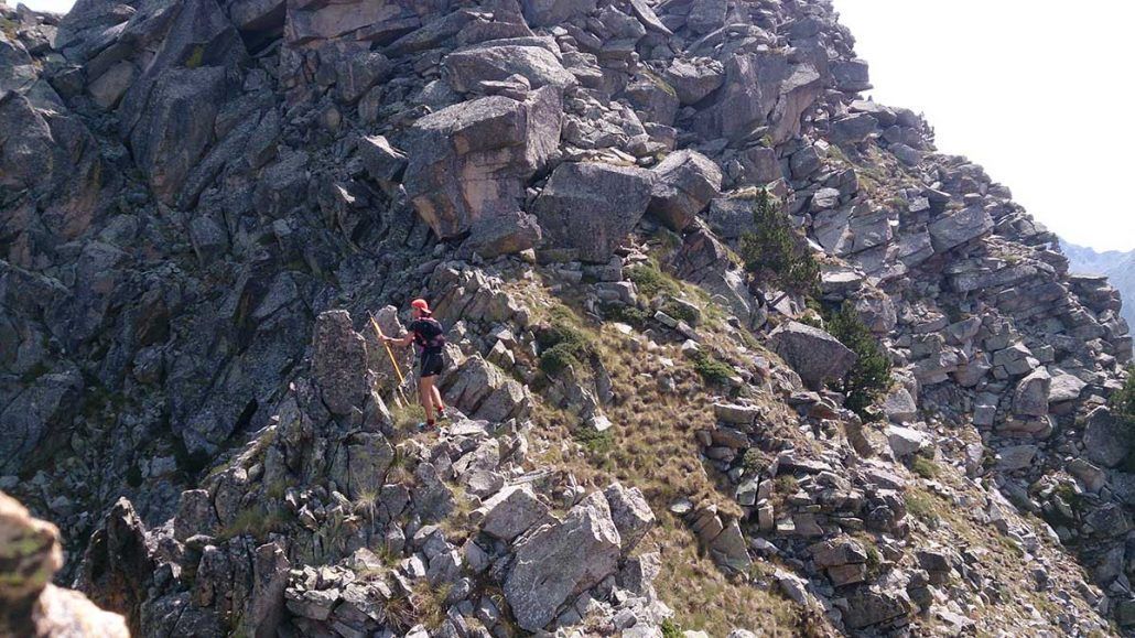
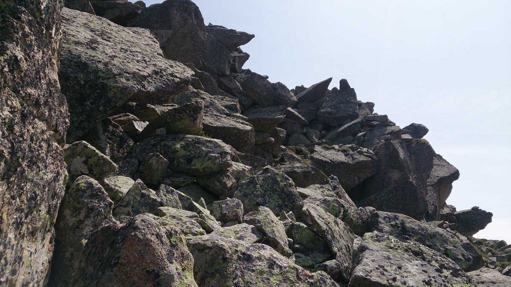
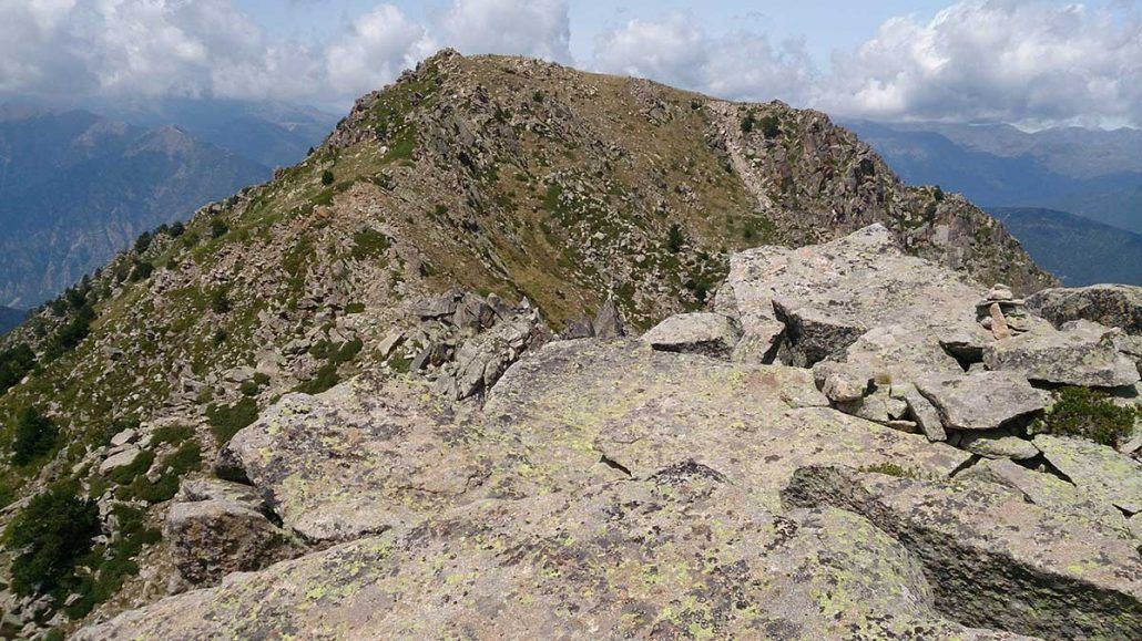
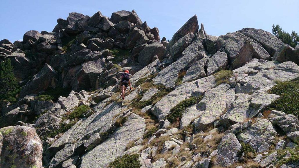
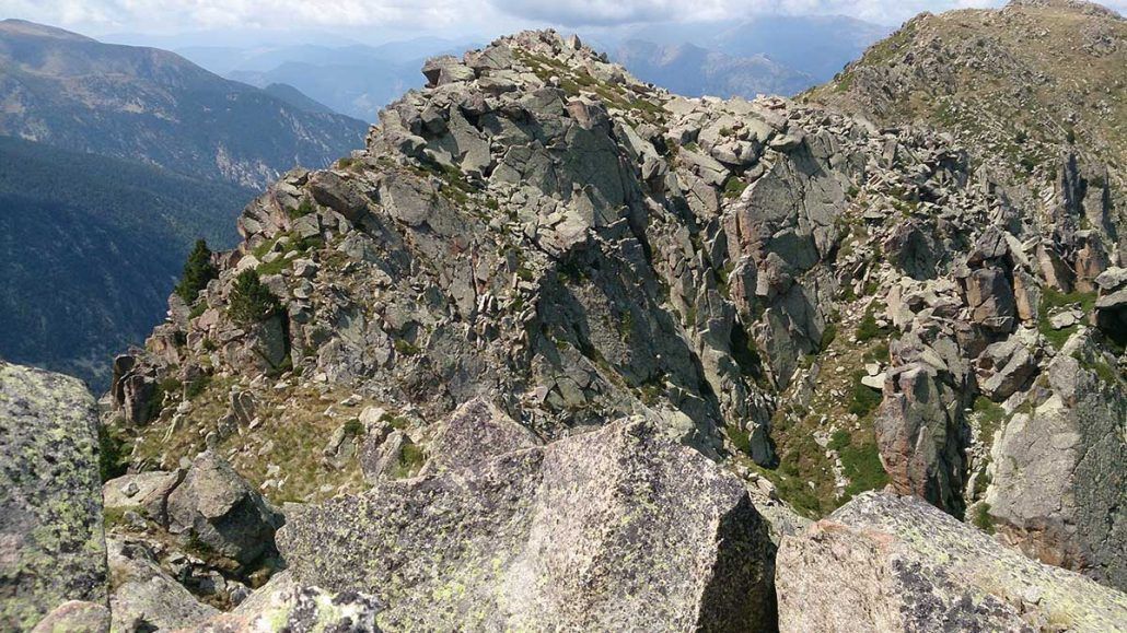
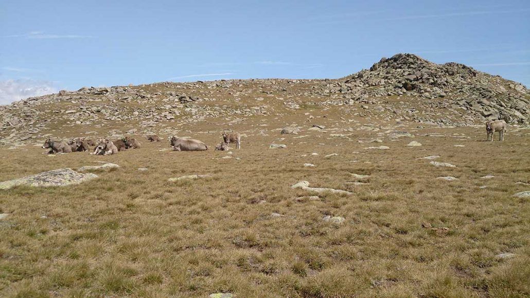
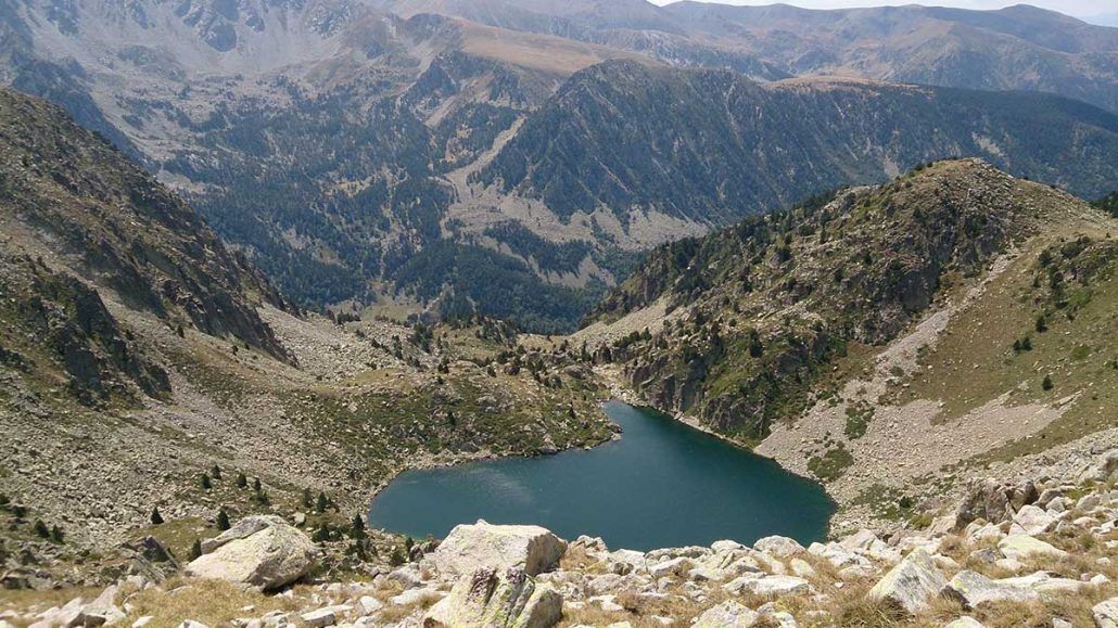
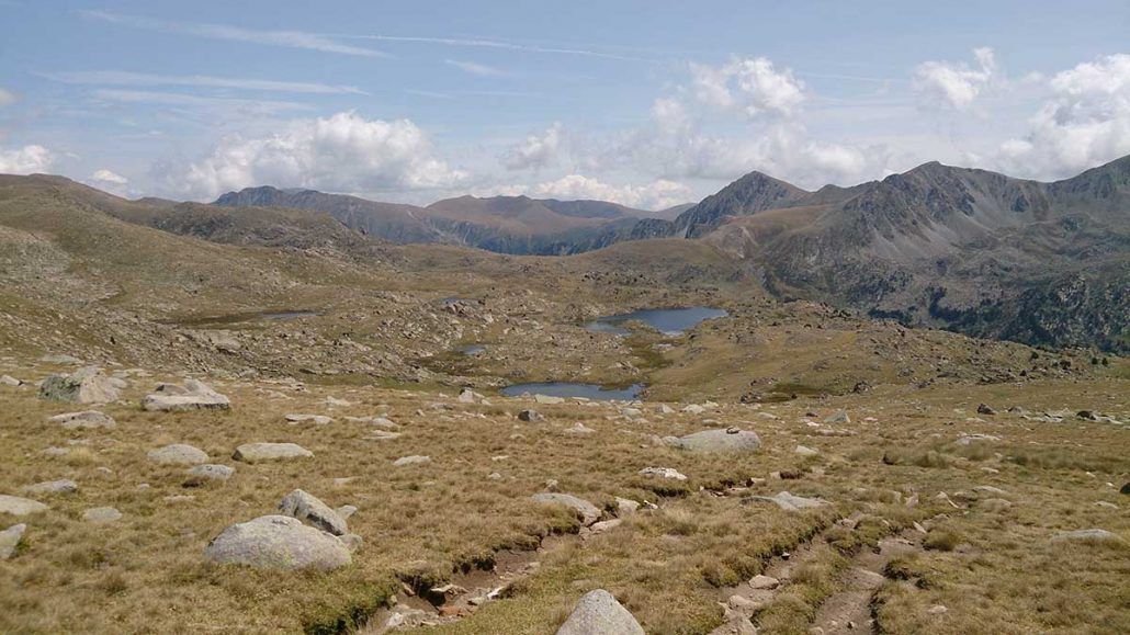
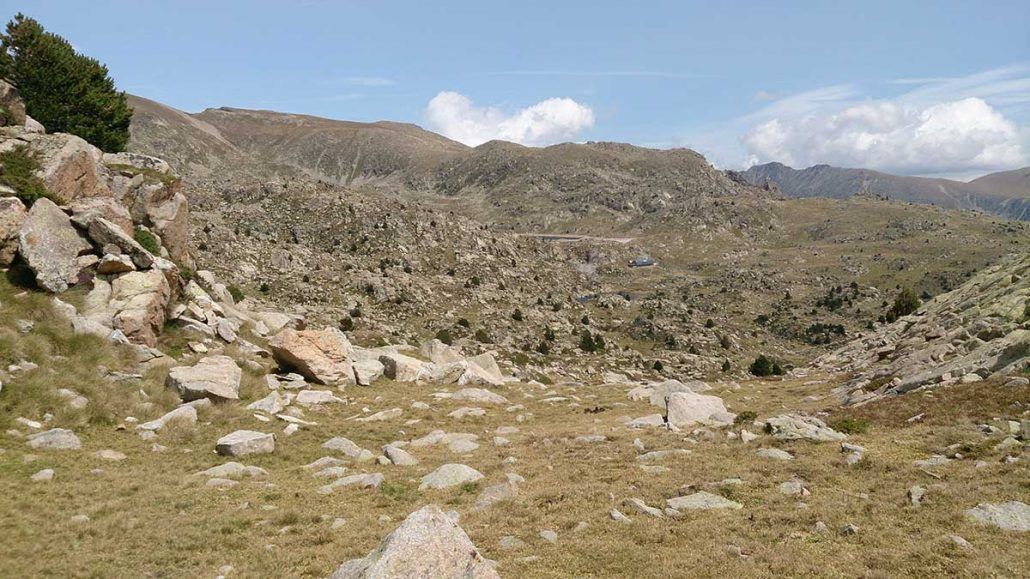
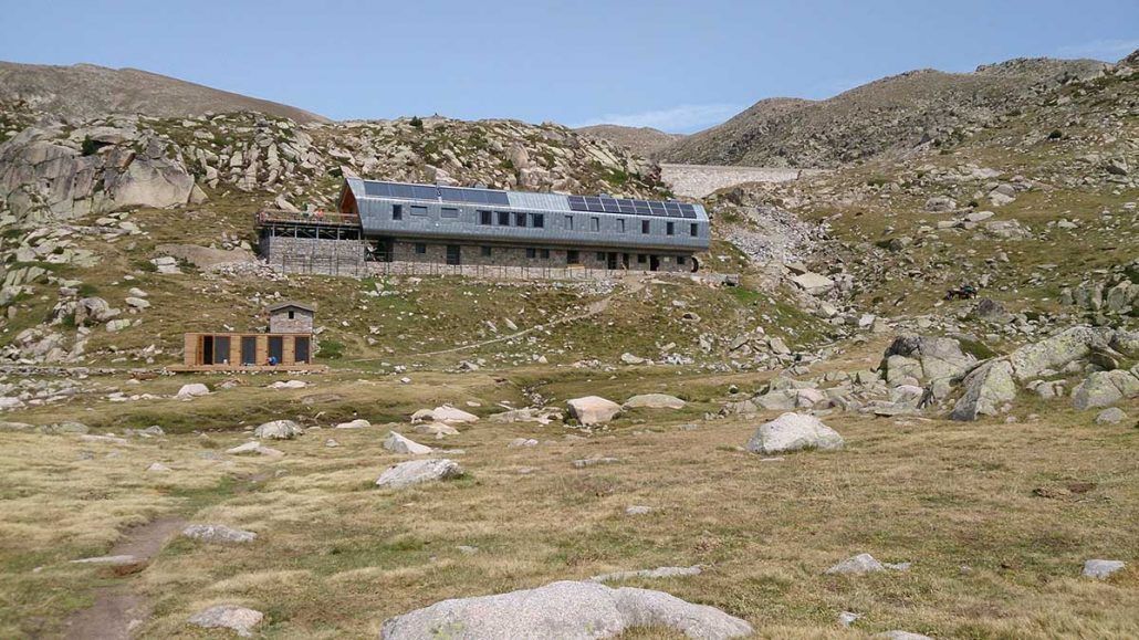
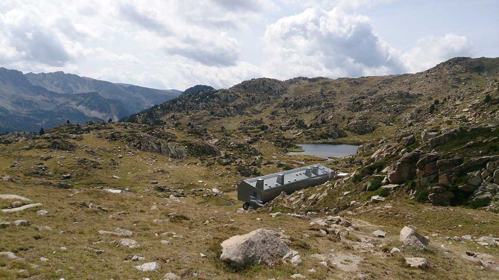
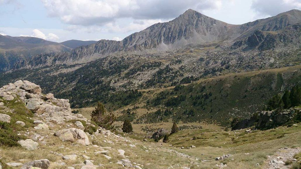
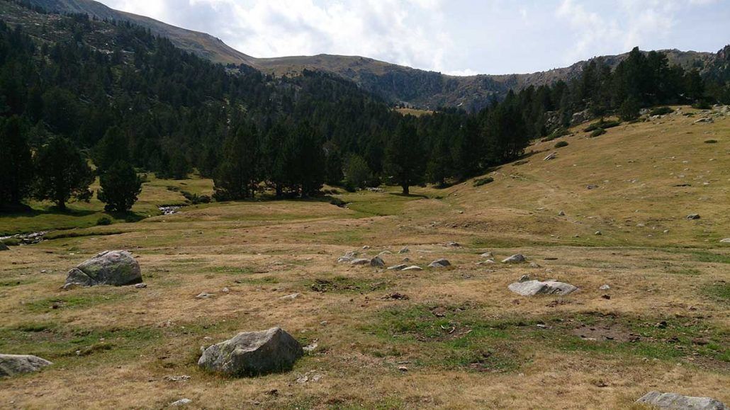
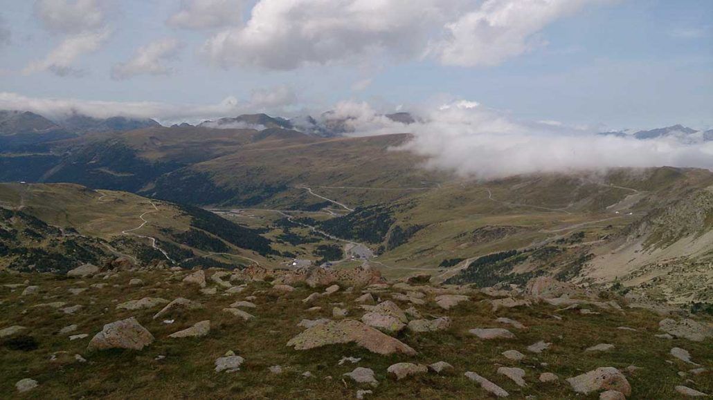
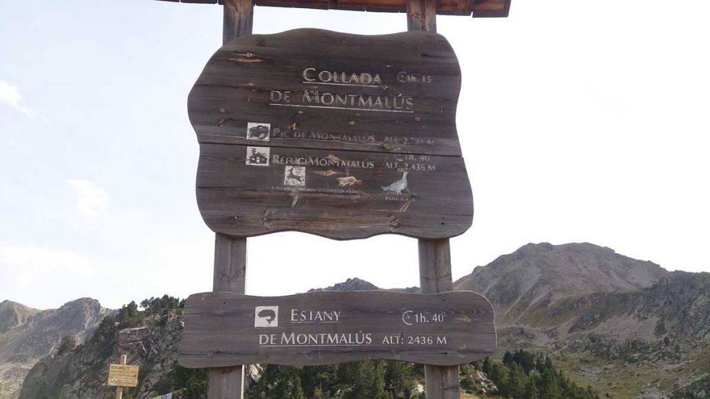
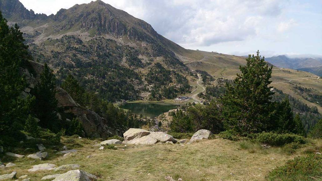
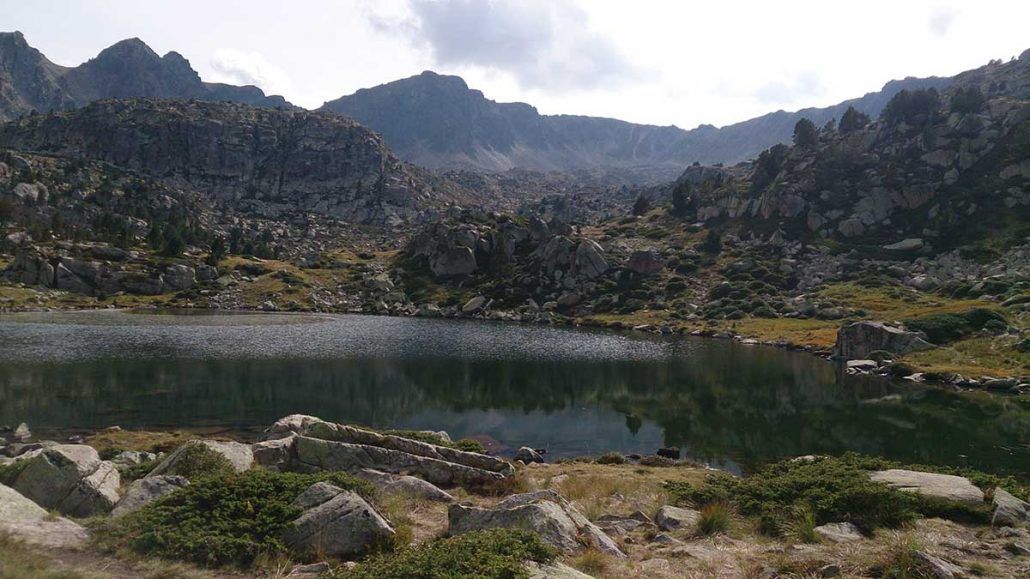
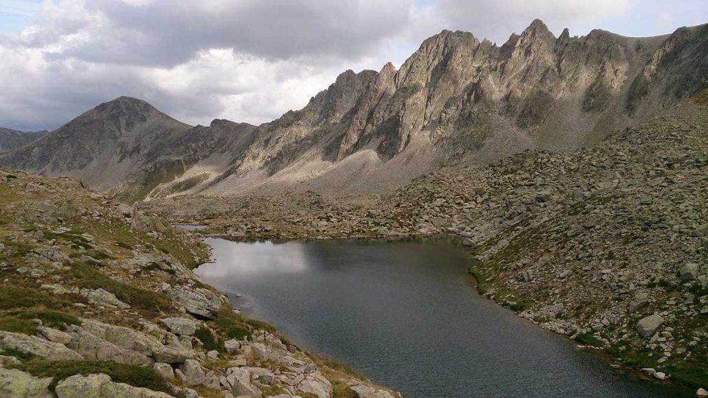
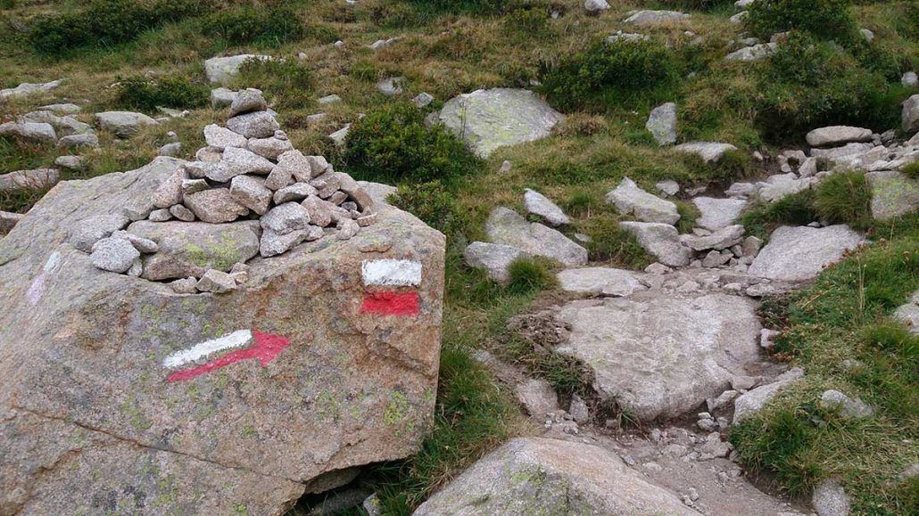
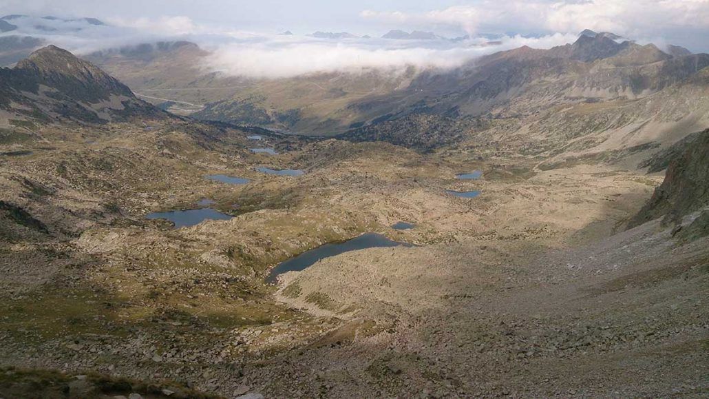
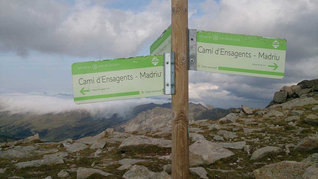
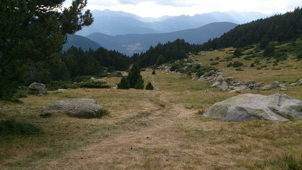
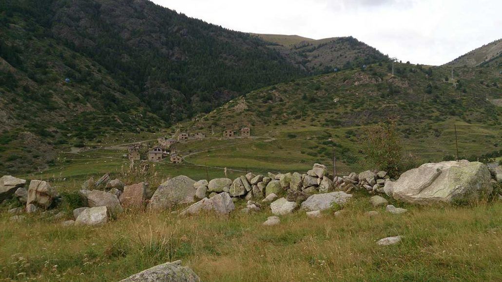
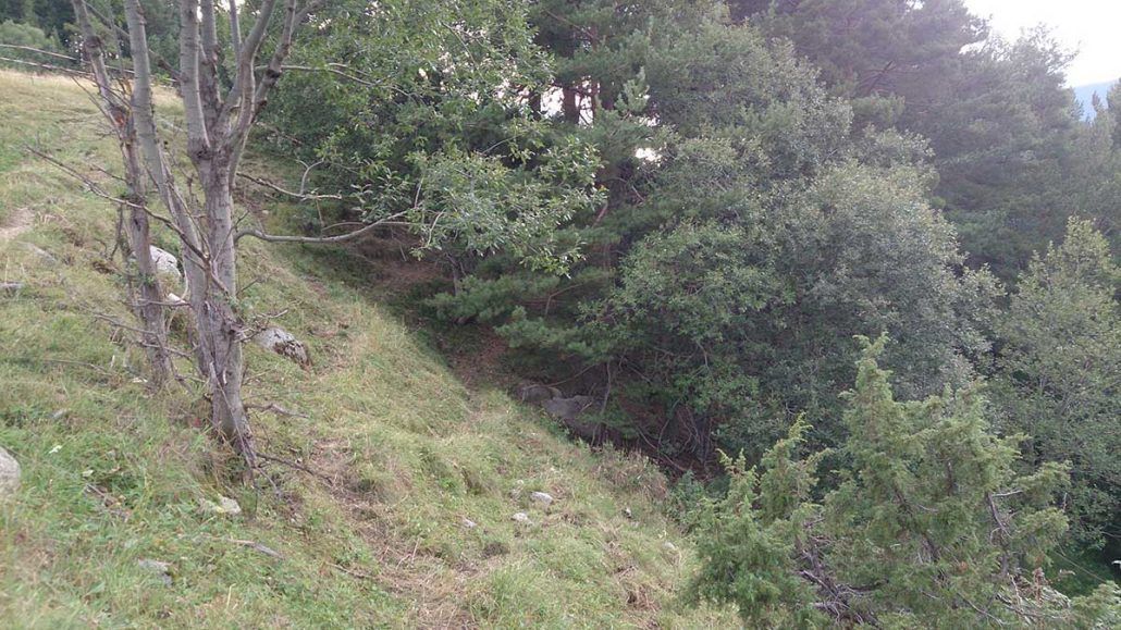
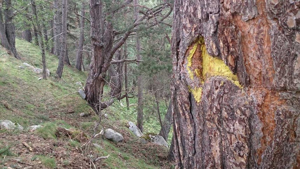
WARNING: There are crest stretches with IIº climbing grade.
This is a challenging Alpine route because of its distance and incline. There is no access to water between the ascent to Tossal de Braibal until Estanys Forcats.
Starting from the Tourist office in Encamp, follow the uphill GR (Long-distance trail) towards Engolasters. After you pass a dam, keep following the GR towards Coll Jovell. From this col, turn left to start a steep ascent across the forest and towards Tossal de Braibal, having Vall de Madriu beneath our feet.
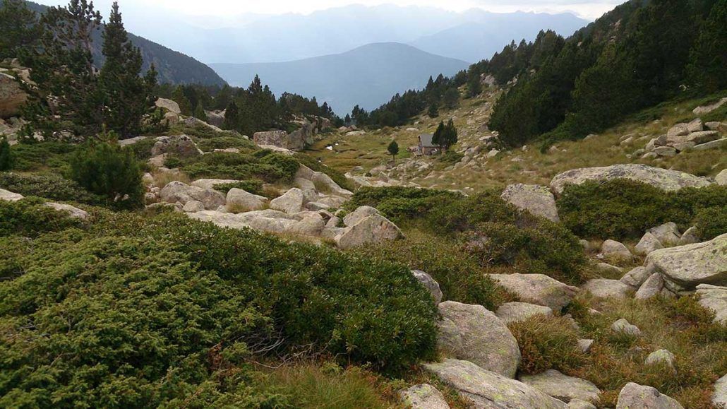
This is the beginning of the most tricky stretch of the route, moving very carefully along the crest and towards Cap dels Agols, while enjoying the astonishing views and Alpine atmosphere. Once you have reached the col of the Cap dels Agols, descend across the fields towards Estanys Forcats. Continue by path until you meet the Refugi de l’Illa.
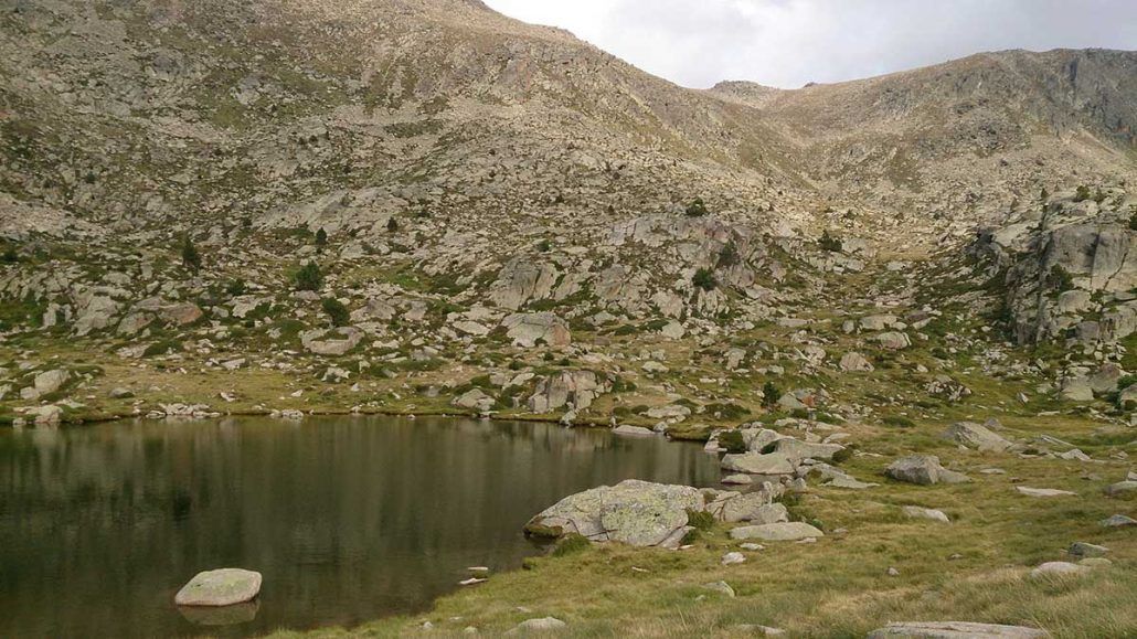
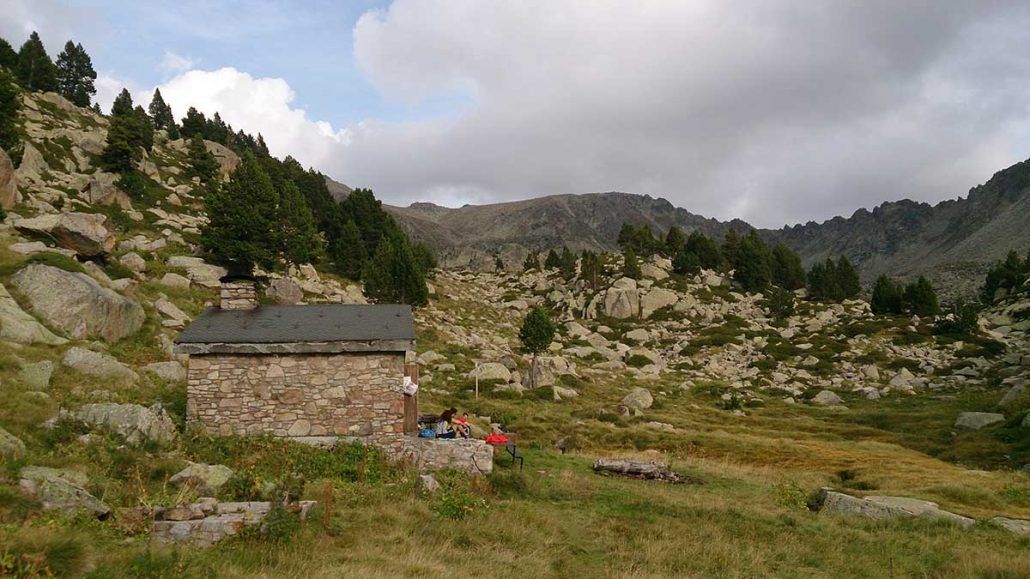
Go across the Coll de Valcivera and follow the GR to then cross the stream that comes down from Montmalús. Leaving the GR, continue just following the milestones that will lead you to a beautiful lake, a free shelter and straight after that you will reach the col and the peak. Come back to the col to start descending in the direction to Circ de Pessons, the largest lake basin in the region. Continue once more by the GR, ascending between lakes and streams, til you find the Collada de Pessons.
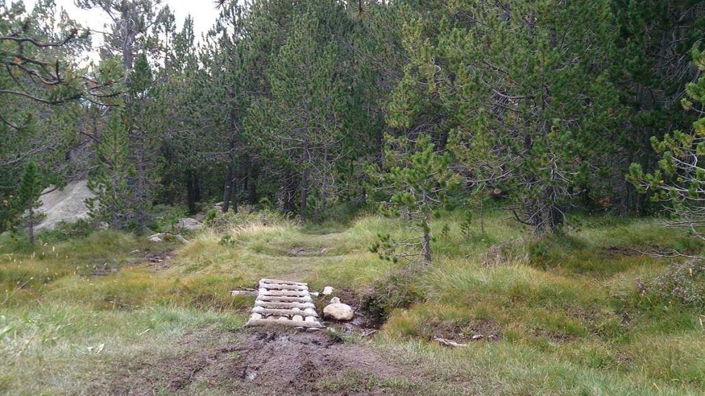
After this last demanding stretch, you can enjoy the breathtaking sights of the lake basin and the Pic de Pessons. Continue the descending trail following the milestones across the fields until you meet the Refugi d’Ensagents. Keep moving downhill by an easy to follow path, passing by Cortals d’Encamp and then crossing the road to continue moving across the fields. Keep moving parallel to the cattle fences until you get into a forest. From there, follow the yellow signs and continue by the “Camí de les Llaus”. This path will descend all the way to “les Pardines” and, from there, you will easily find your way back to the starting point.
WATER: All needed water facilities are available in Encamp. There are fountains in Paseo the Engolasters, in Refugi de l’Illa and in Refugi de Ensagents. There is a restaurant in Estany Primer. There is access to lakes and streams along the route.
TOURISM.- Encamp. Refugio de l’Illa. Circ de Pessons.