TRAIL RUNNING IN ENCAMP

Keep in mind that weather forecasts in high mountains may be different.
TRAIL REFUGI DE LES AGOLS
Total Distance: 14 Km
Elevation gain: 1000 m
Start point: Encamp
Finish point: Encamp
Min height: 1250 m. (Encamp)
Max height: 2200 m. (Refugi de les Agols)
Photos in the direction of the route
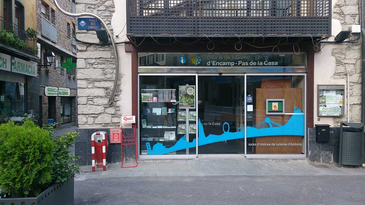
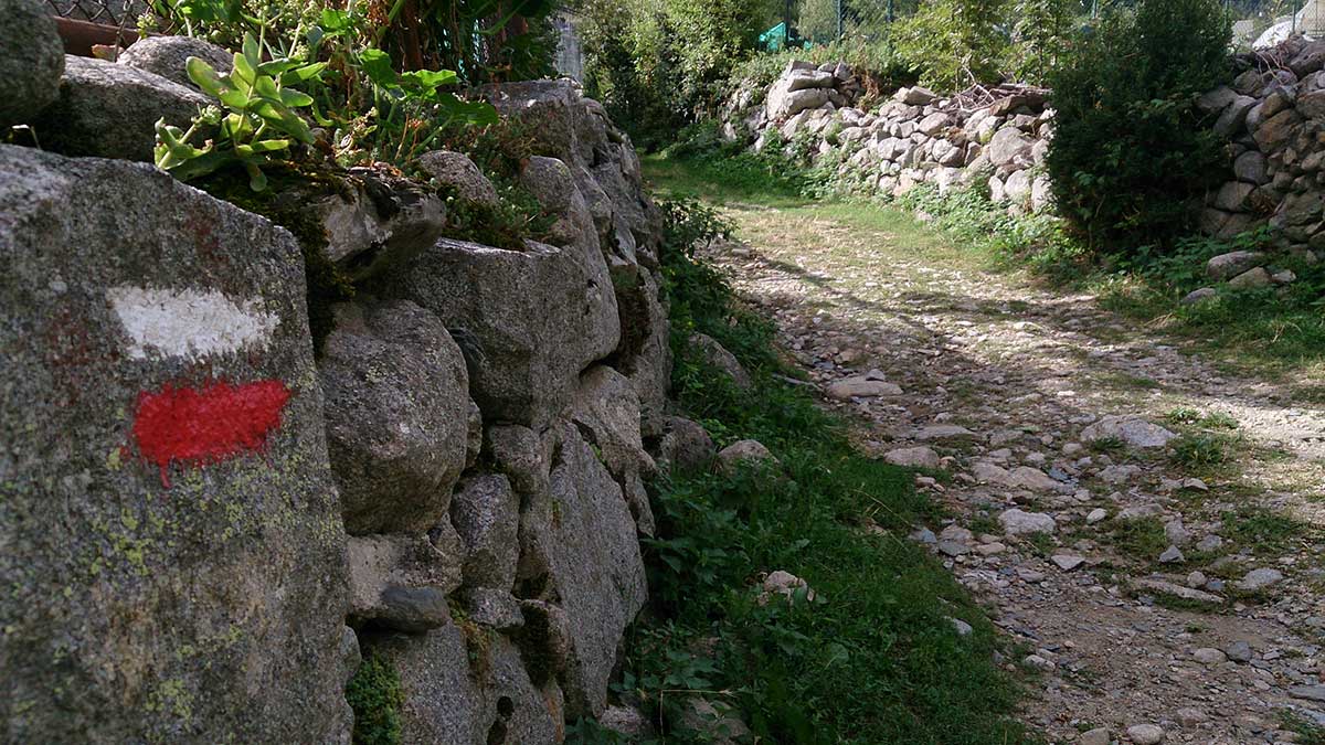
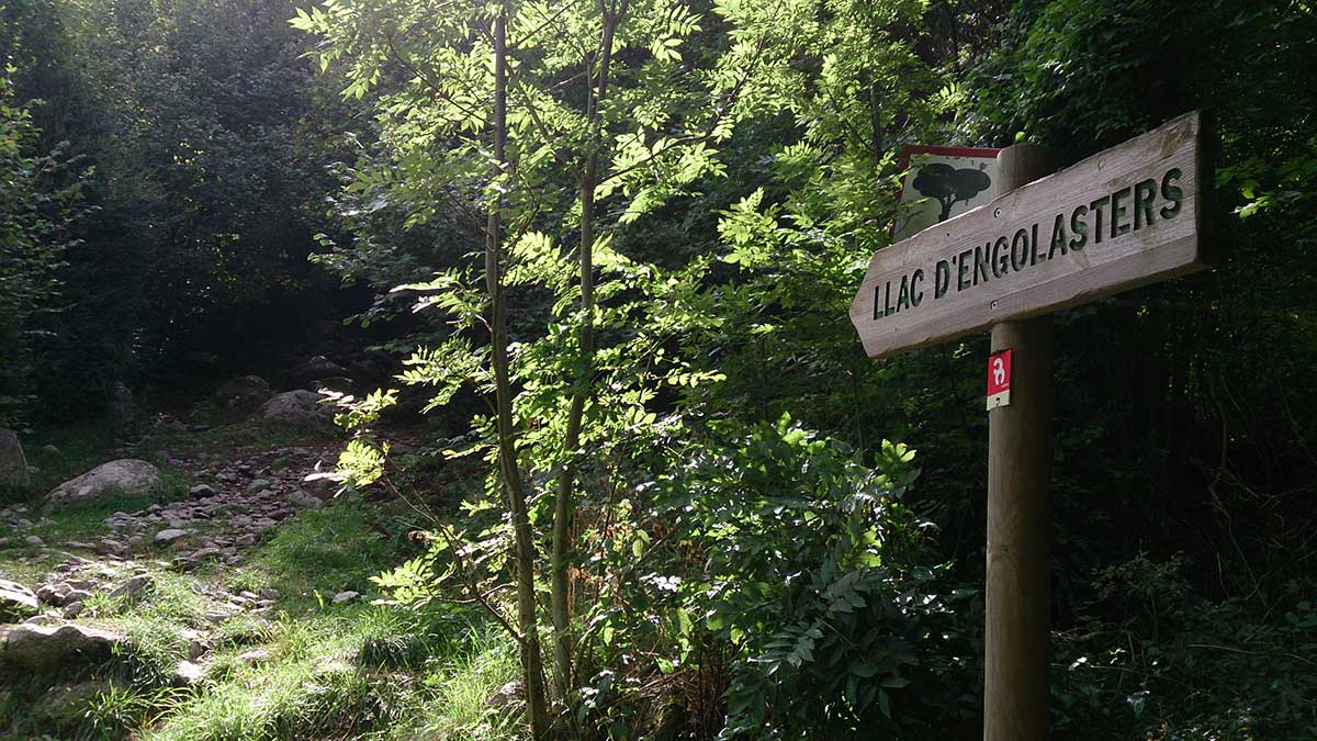
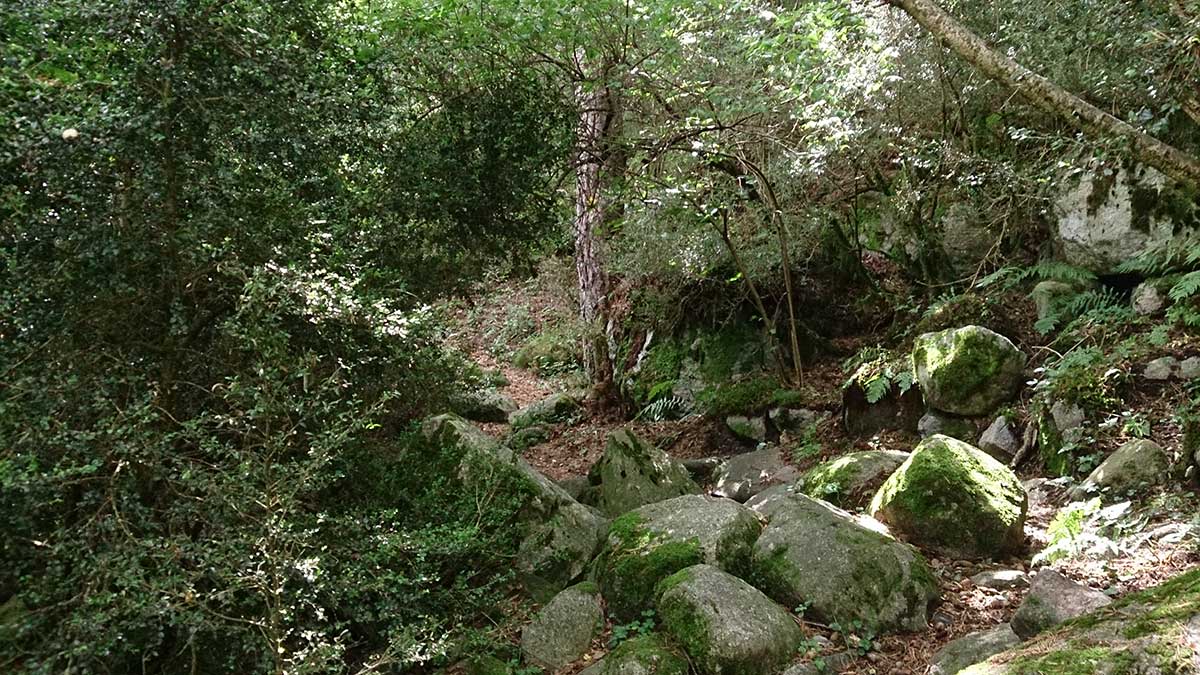
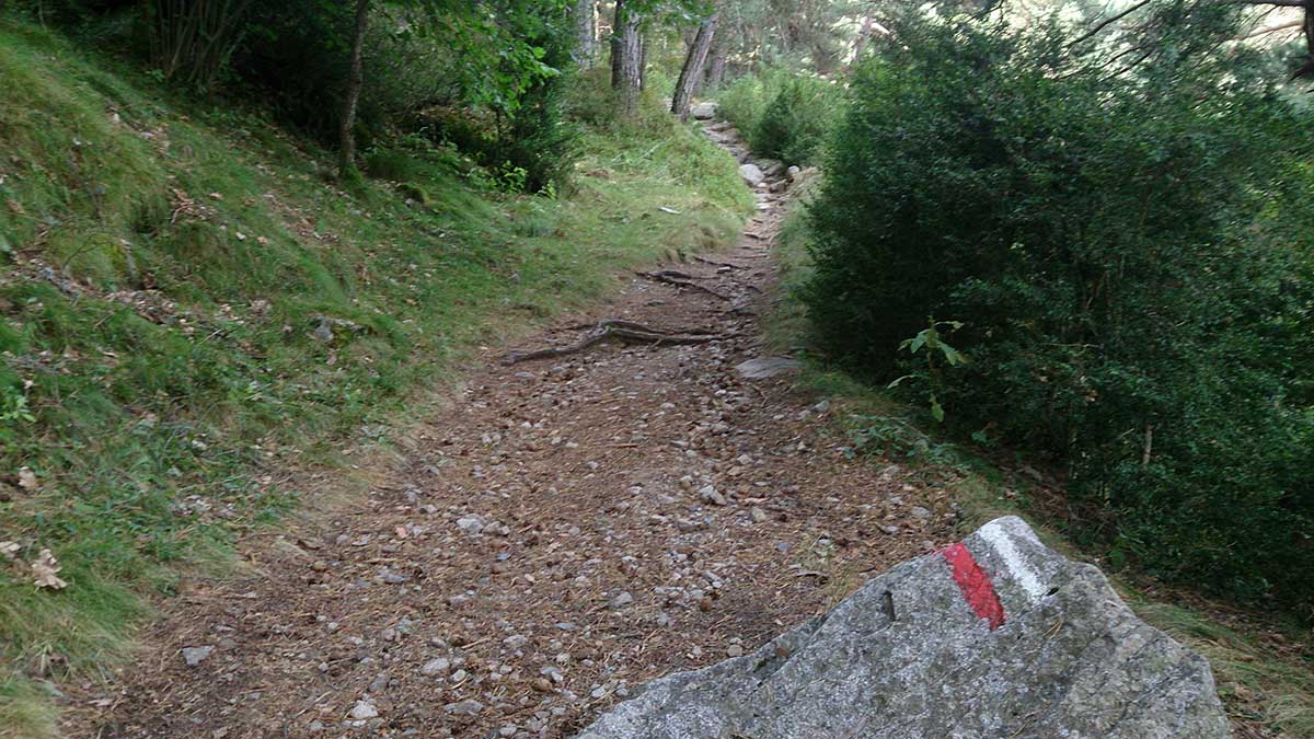
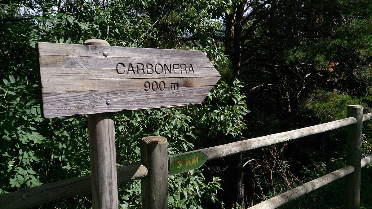
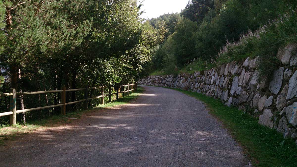
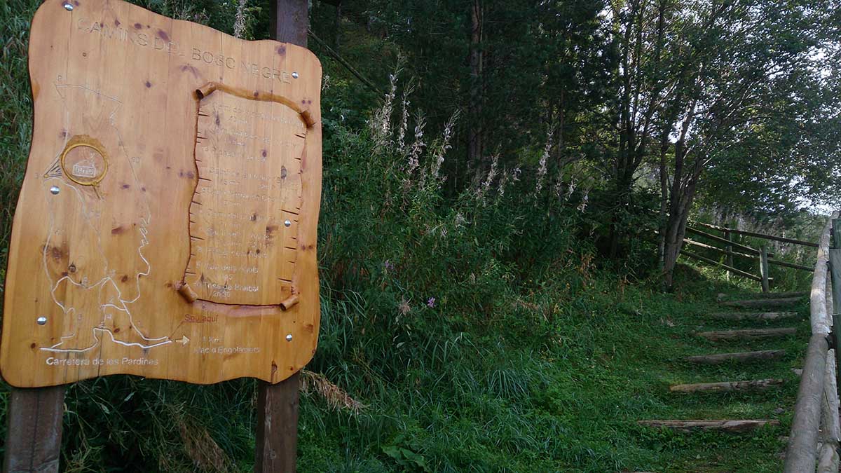
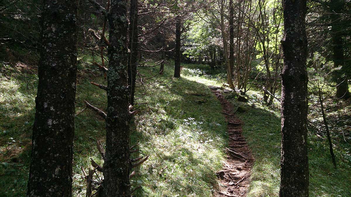
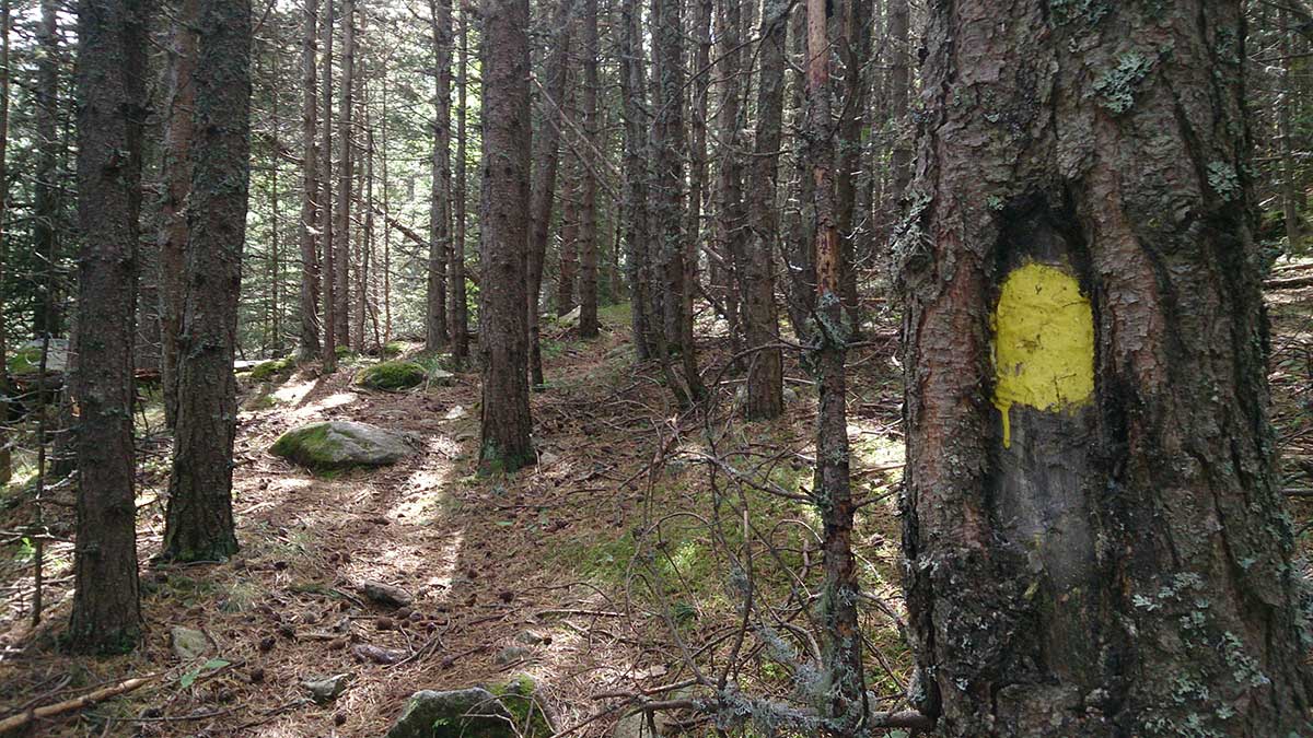
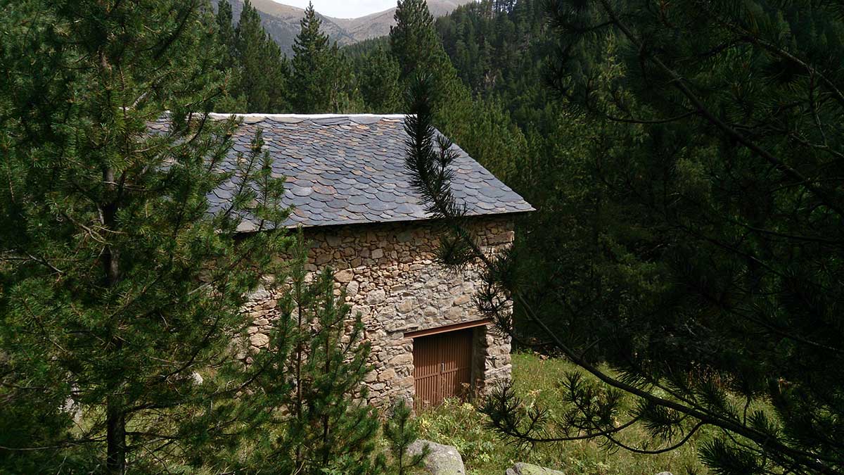
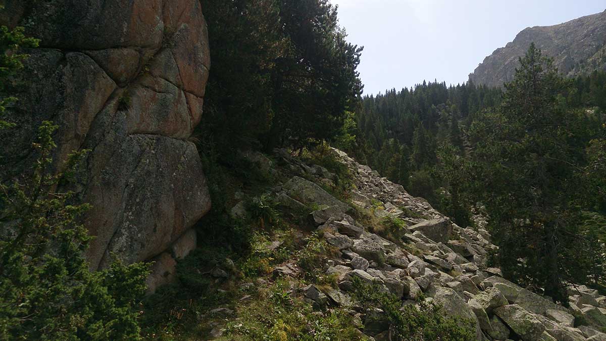
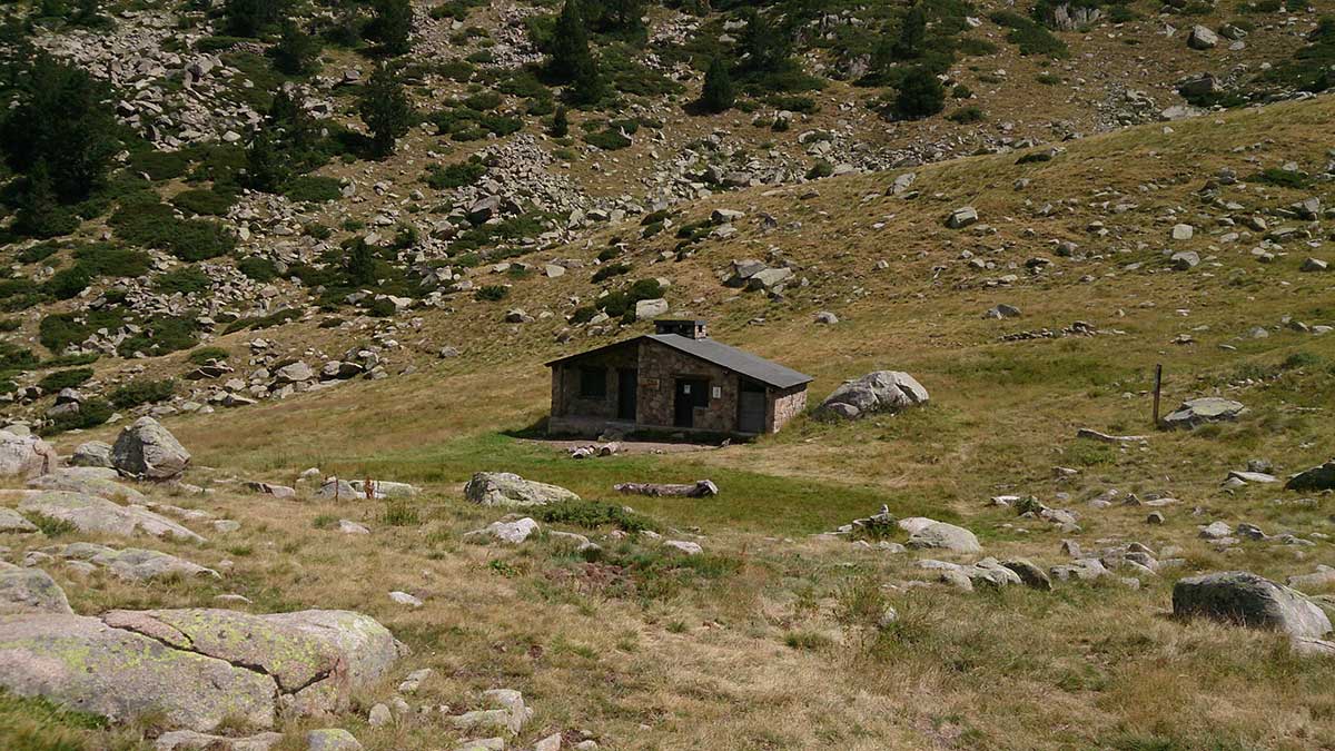
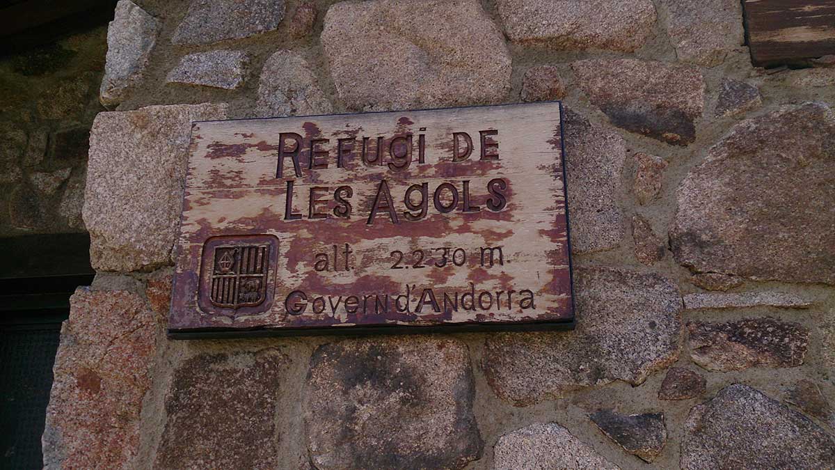
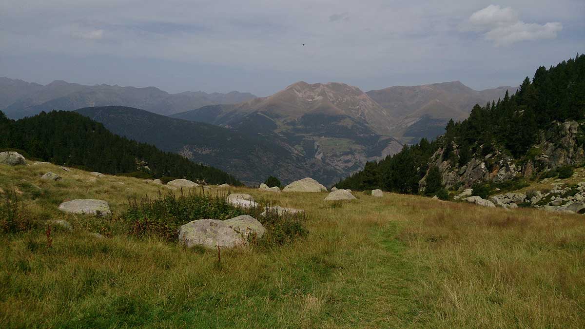
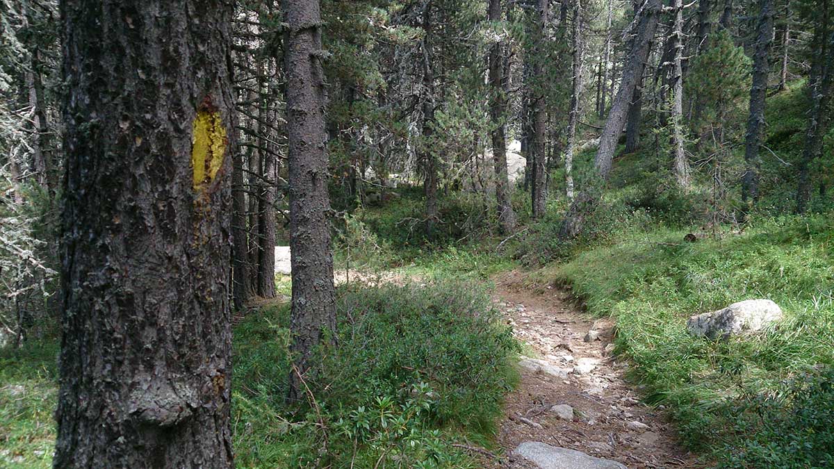
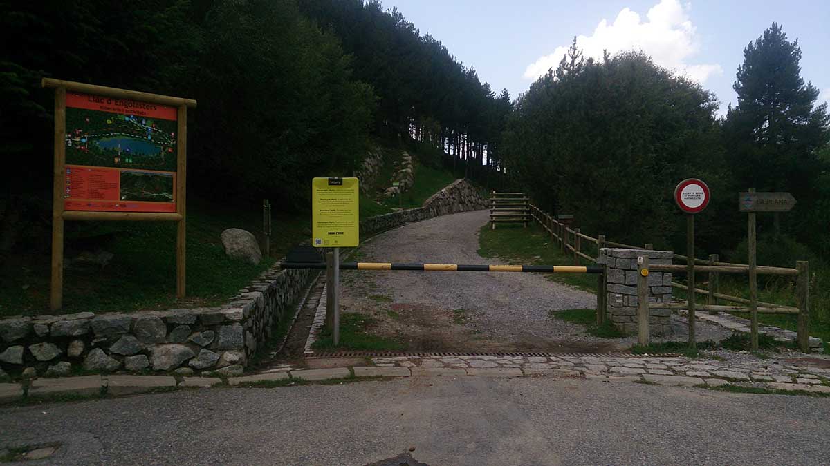
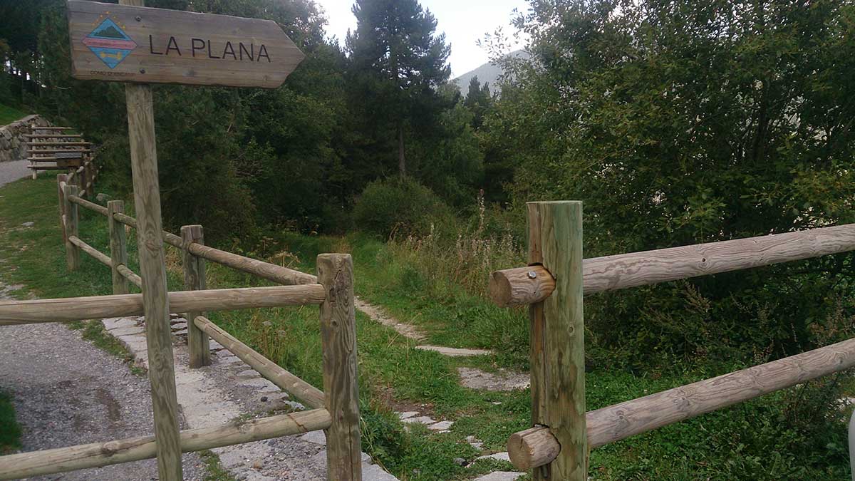
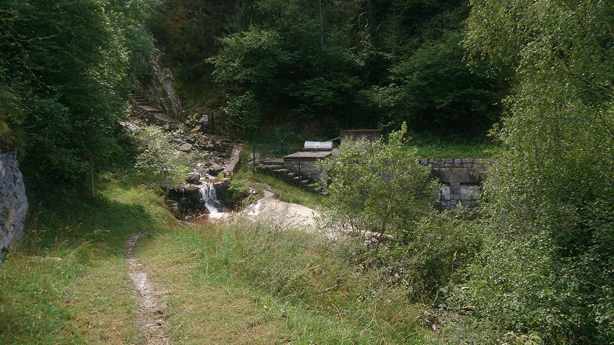
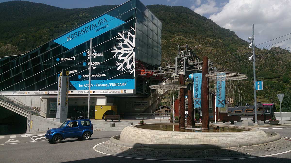
A very entertaining route where we will do all the positive elevation gain in a single climb. The entire circuit will be done on well-marked paths.
We will start the circuit in front of the Tourist Office, and once we leave the town streets behind, we will follow the GR in a clear ascent to the Llac d’Engolasters, where we start a flat section of just over a kilometer along the les Pardines forest track.
We will find a signpost, and there we will begin the long climb, always on a path, which will progressively take us to the Refugi de les Agols, the highest point of the route. To reach the refuge, the last section will be across a meadow, with no possible way to get lost.
From the refuge, we will have a splendid view of a large part of the Andorran mountains, with the Pic de Casamanya in the foreground.
The descent will be on a path, always through the forest, and after a traverse, it will take us to the “les Pardines” parking lot, from where we will continue descending to Encamp along the La Plana path.
Once in front of the Funicamp station, we will return to the starting point through the streets of the town center.
WATER.- All services in Encamp. Fountain on the Carretera de les Pardines. Fountain at the Refugi del les Agols. Streams where we can refresh ourselves.
CULTURE.- Encamp. Engolasters. Free refuges.