TRAIL RUNNING IN ENCAMP

Keep in mind that weather forecasts in high mountains may be different.
TRAIL PESSONS
Total Distance: 13 Km
Elevation gain: 850 m
Start point: Grau Roig
Finish point: Grau Roig
Min height: 2100 m. (Grau Roig)
Max height: 2884 m. (Pic de Pessons)
Photos in the direction of the route
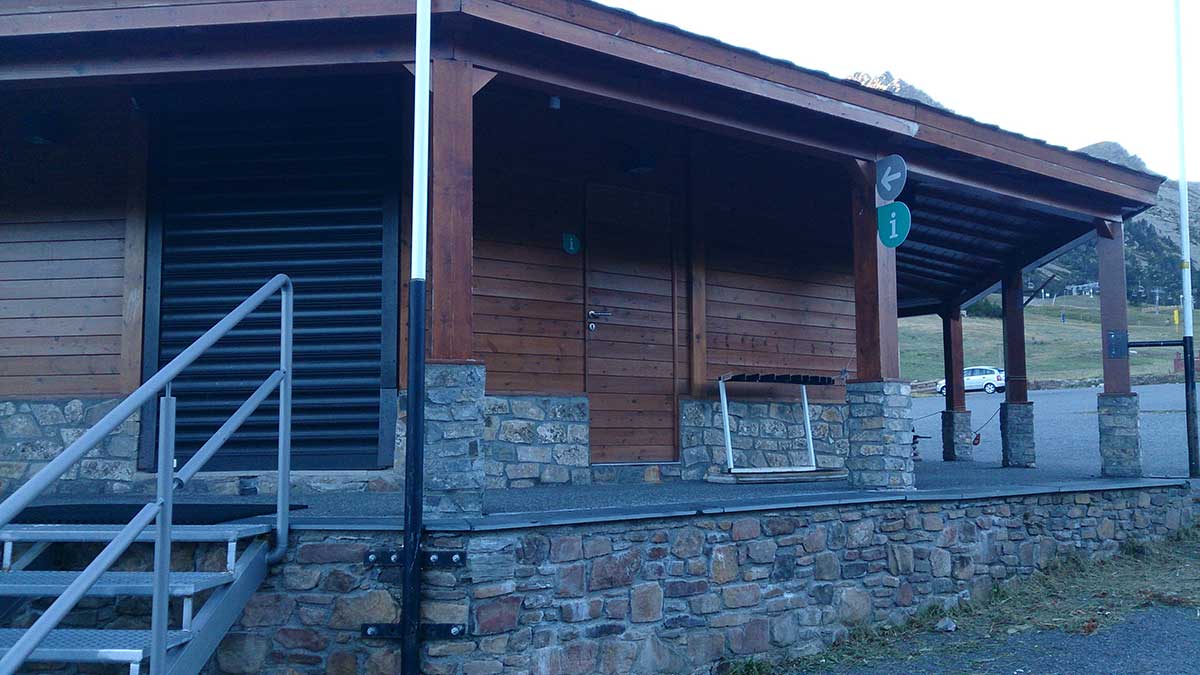

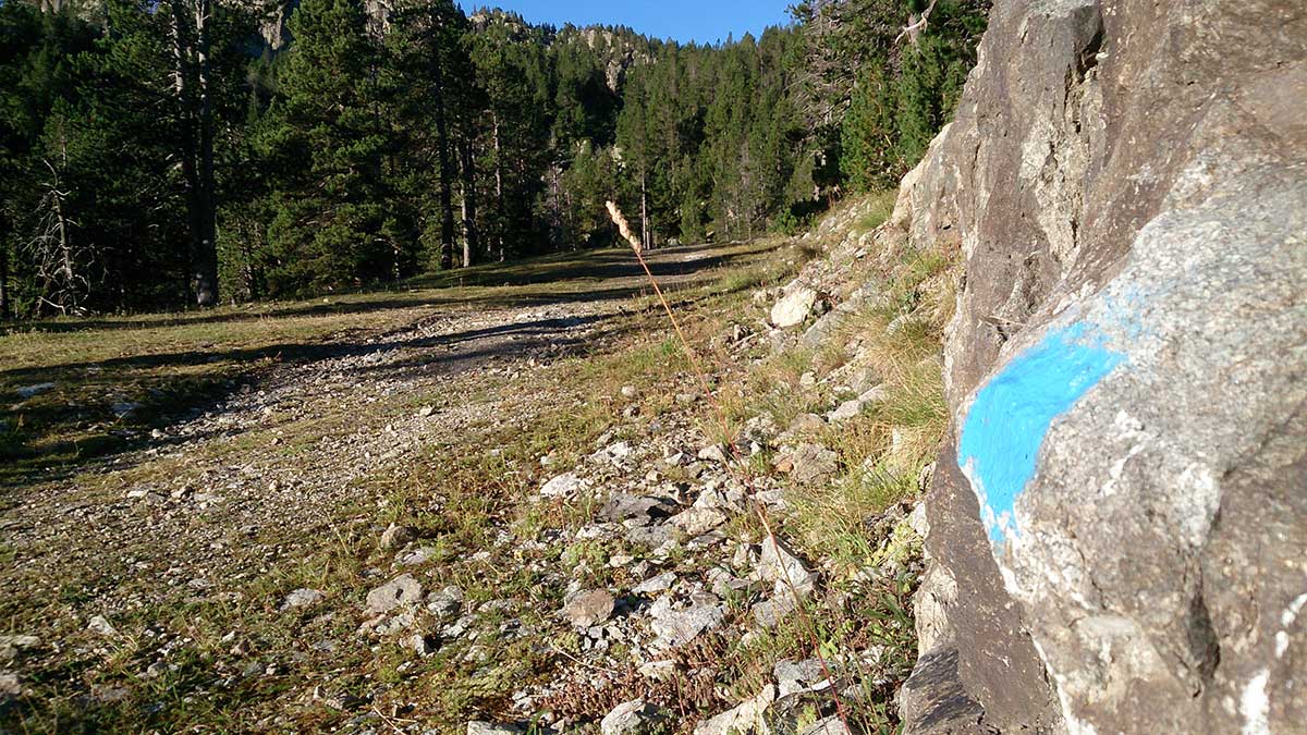
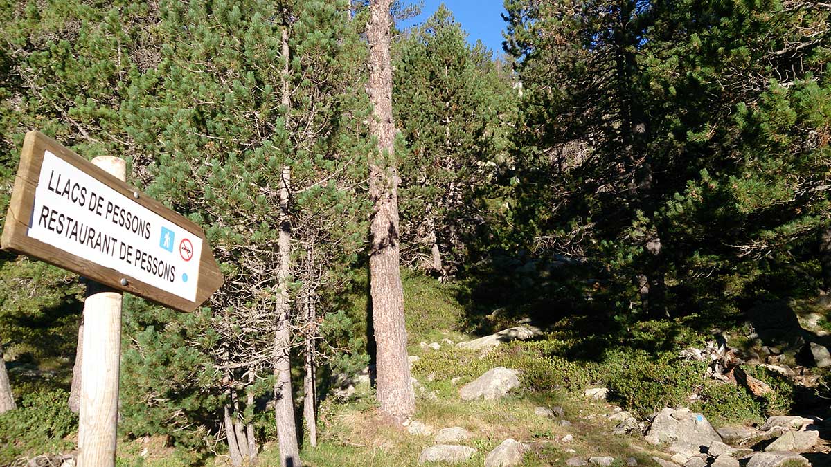
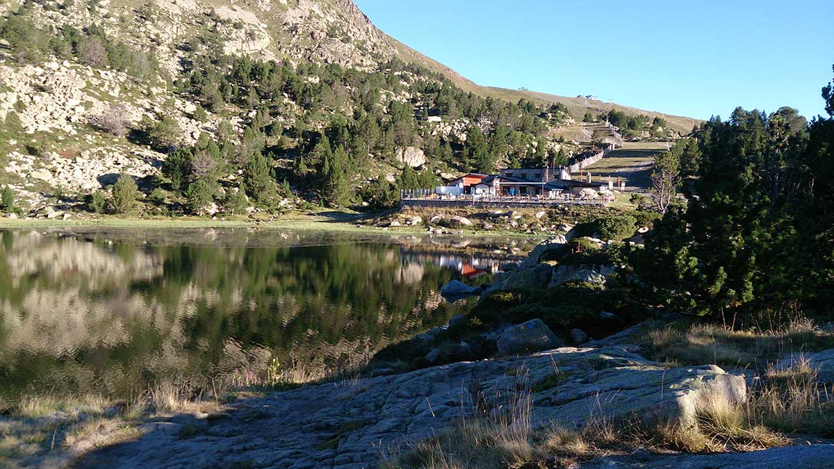


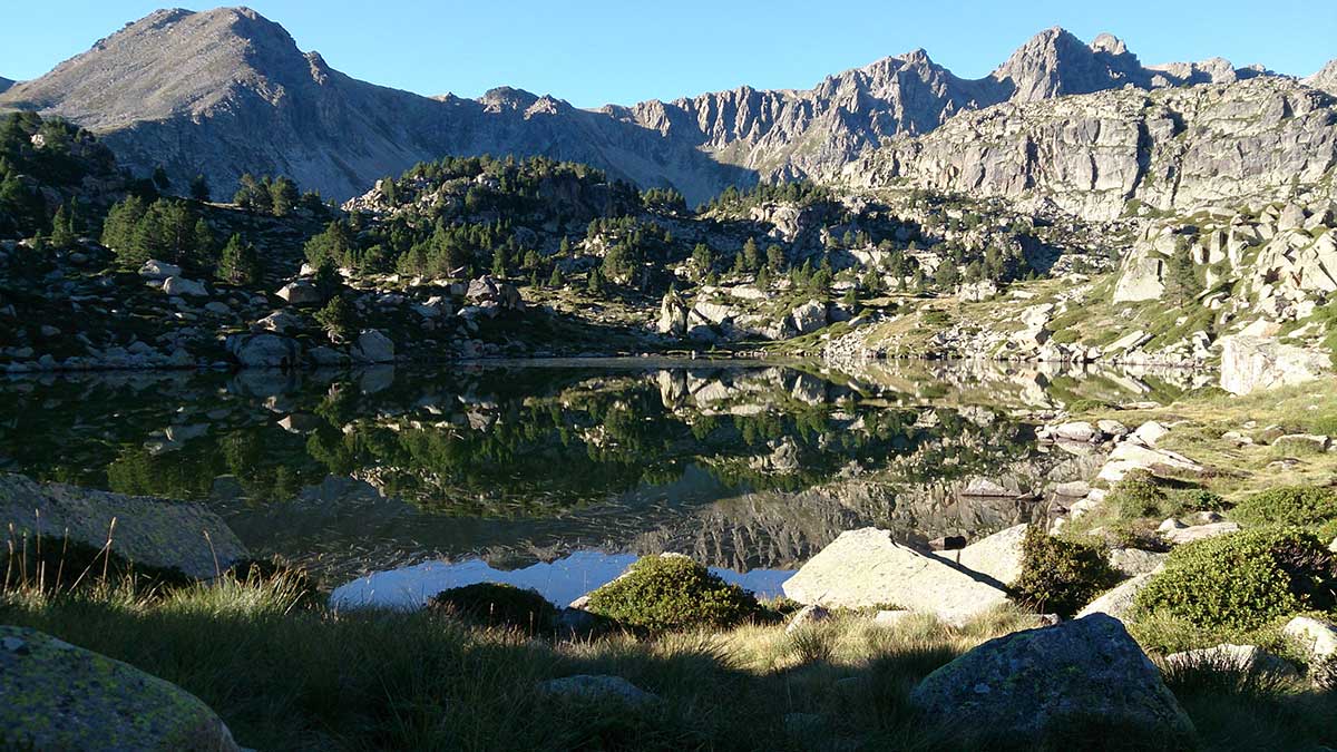
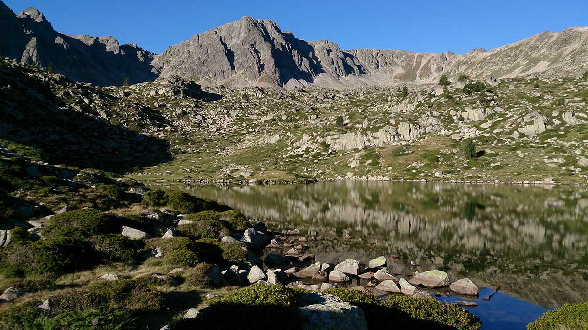


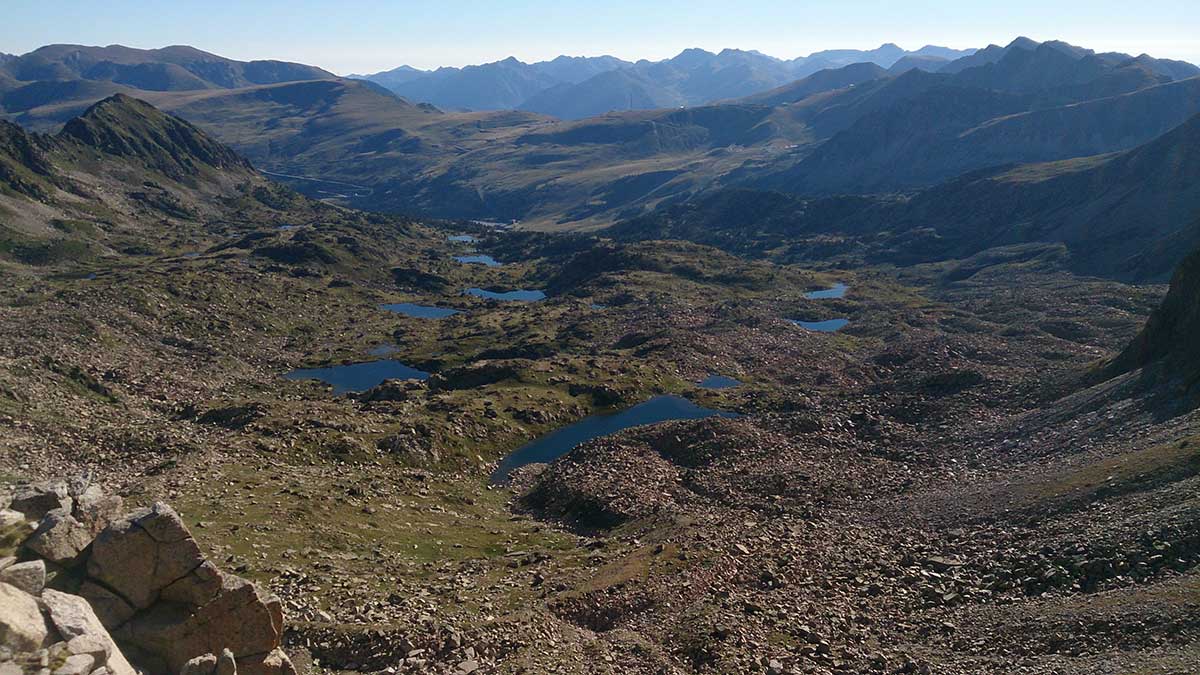
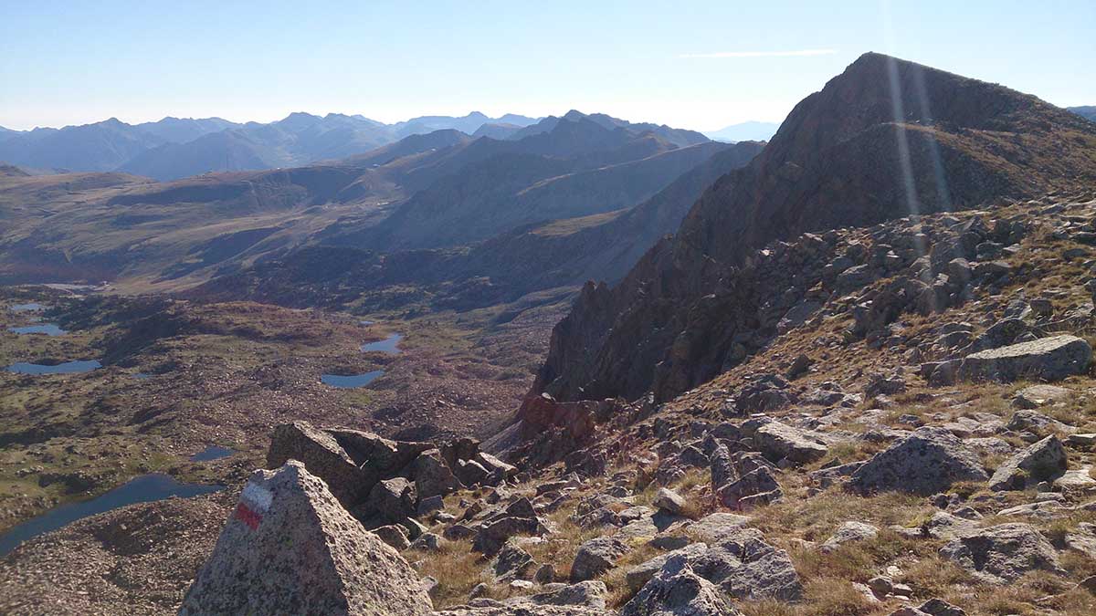
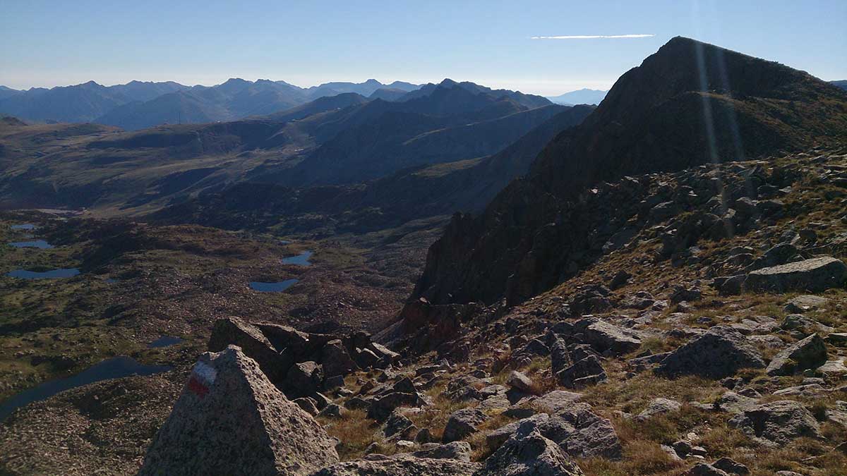
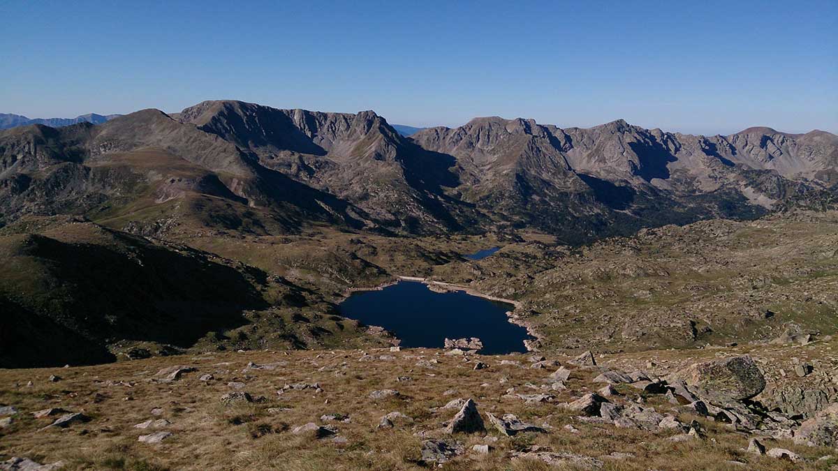

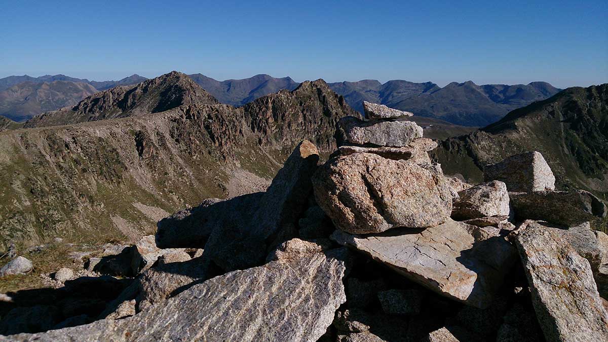
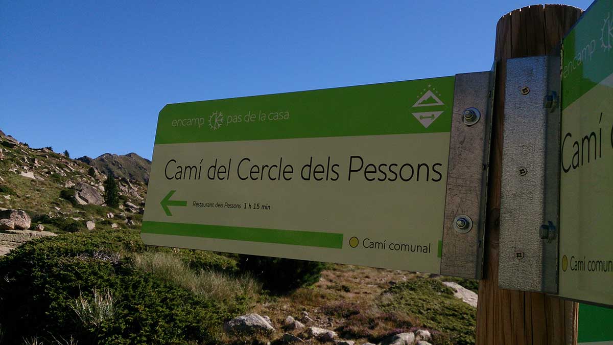
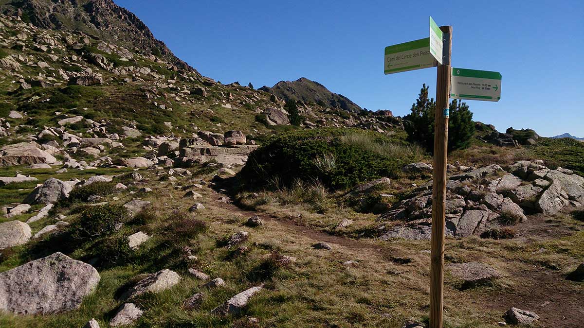
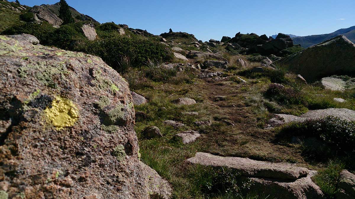
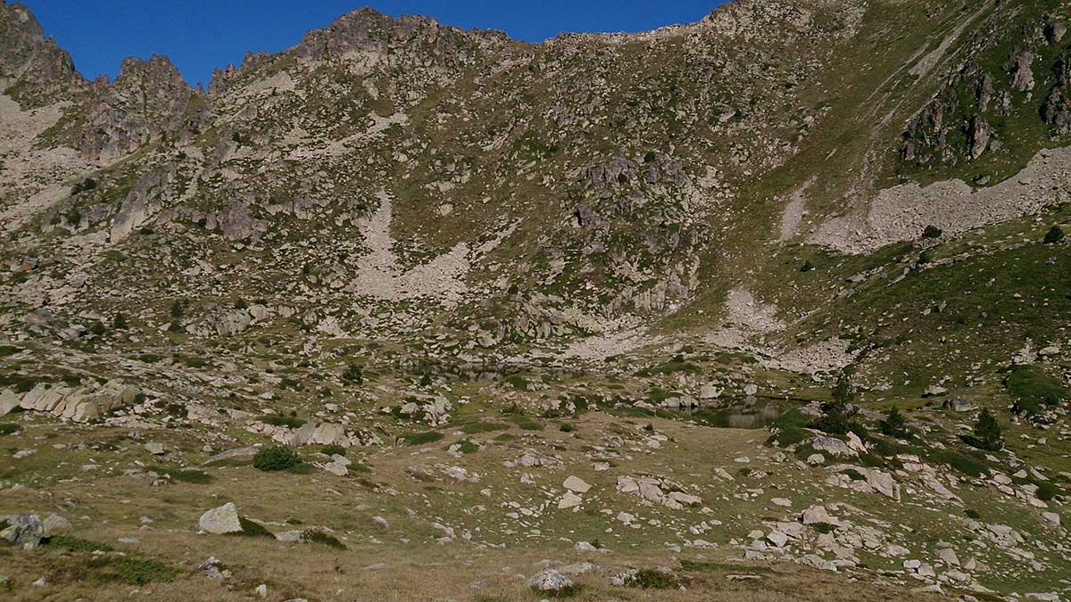
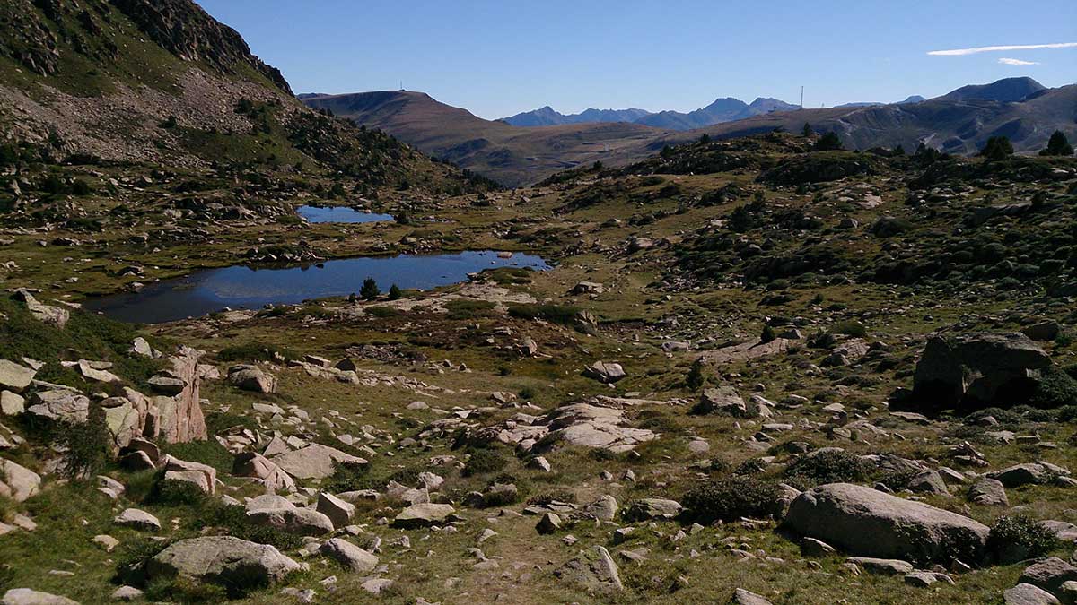
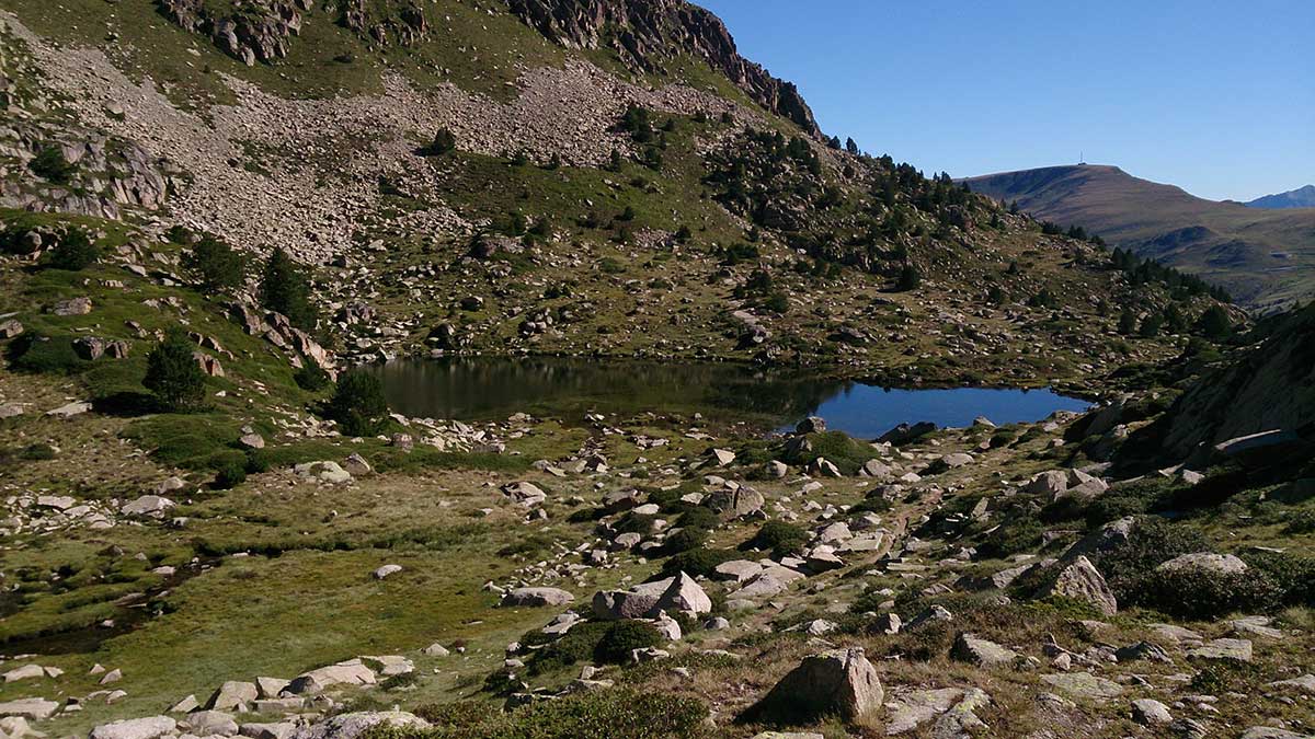
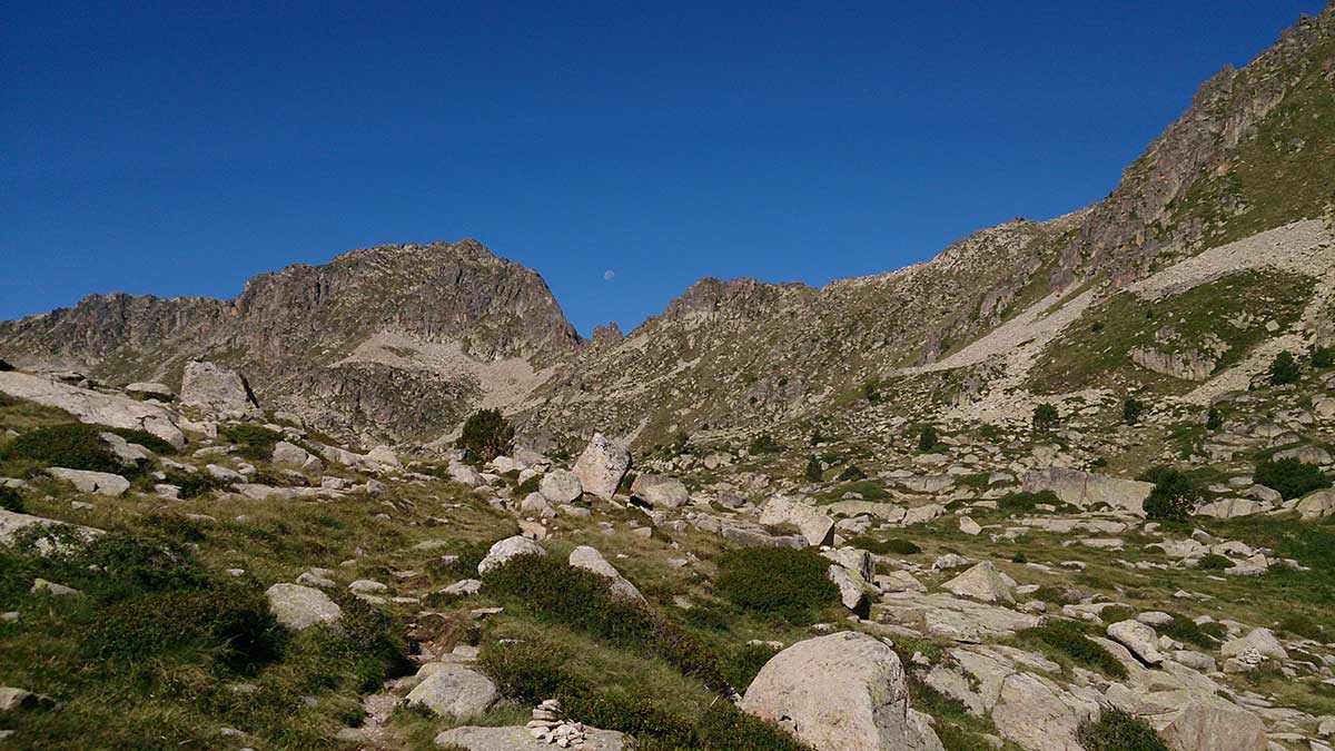
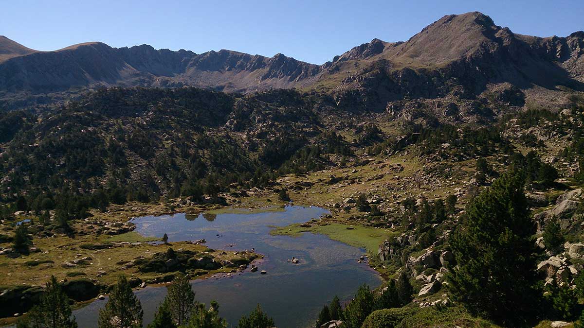
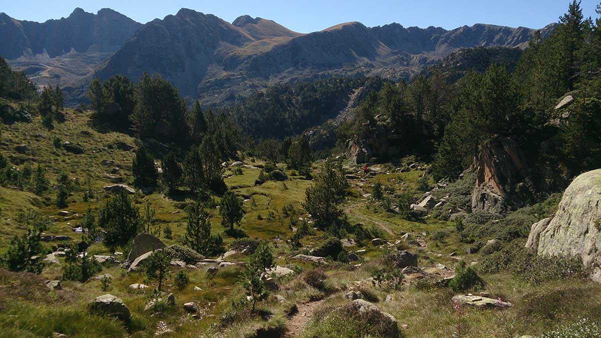
This is an spectacular route that will lead you to discover the largest lake basin in the country. From November to March, the highest points of the circuit are usually covered with snow, so make sure you bring the appropriate equipment.
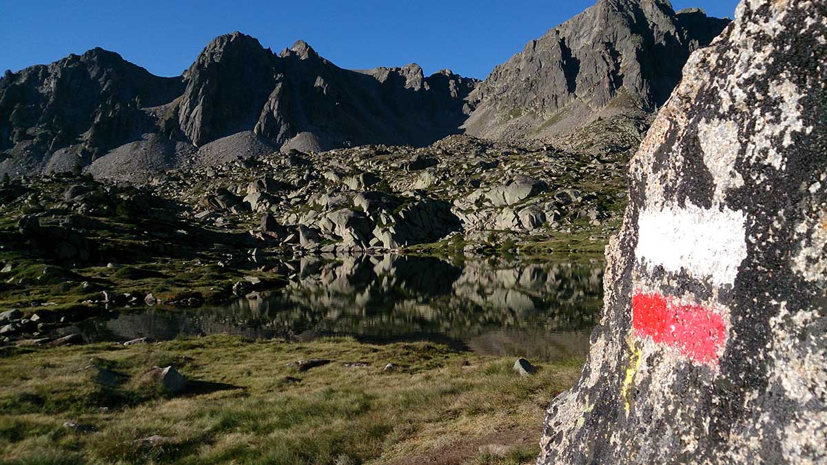
The trail starts from the Tourist office in Grau Roig. You will follow first a track and then a path within the forest, which will lead you to Estany Primer (first lake). Here you will find the GR signs (Long-distance trail). These GR markers will guide you all the way to the summit, passing by some lakes.
The stretches around the lakes are good going terrains with gentle slopes. After the last lake there is a rocky way that steeply ascends towards the col. From there, turn left and you will directly reach the Pic de Pessons.
Retrace your steps to come back to the col and, very cautiously, walk down the rocky path until you find once more the GR sign-post. From here, keep following the yellow markers that will lead you to the Estanys de la Solana first and then you will be back in Estany Primer. The way back to the starting point will be through the same path and track you followed at the beginning of the circuit.
WATER: All needed water facilities are available in Grau Roig. There is access to lakes and streams along the route.
TOURISM: Lakes of Pessons.