TRAIL RUNNING IN ENCAMP

Keep in mind that weather forecasts in high mountains may be different.
TRAIL ENGOLASTERS
Total distance: 10 km
Positive elevation gain: 430 m
Starting point: Encamp
Ending point: Encamp
Minimum altitude: 1250 m (Encamp)
Maximum altitude: 1630 m (Lake Engolasters)
Photos in the direction of travel
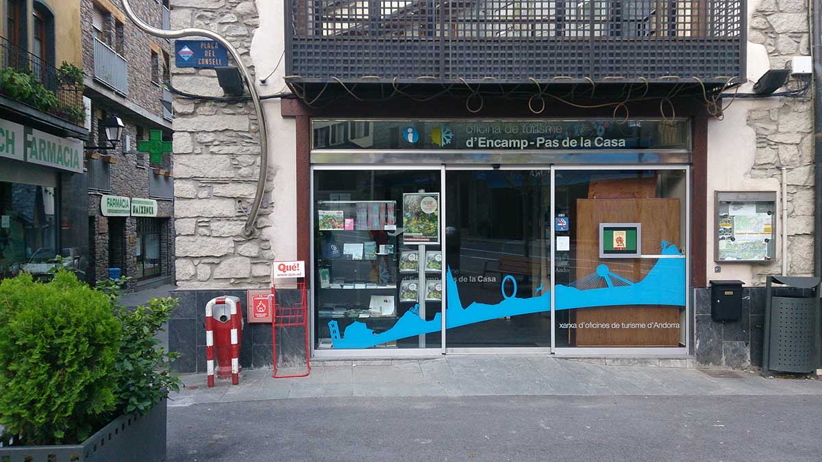
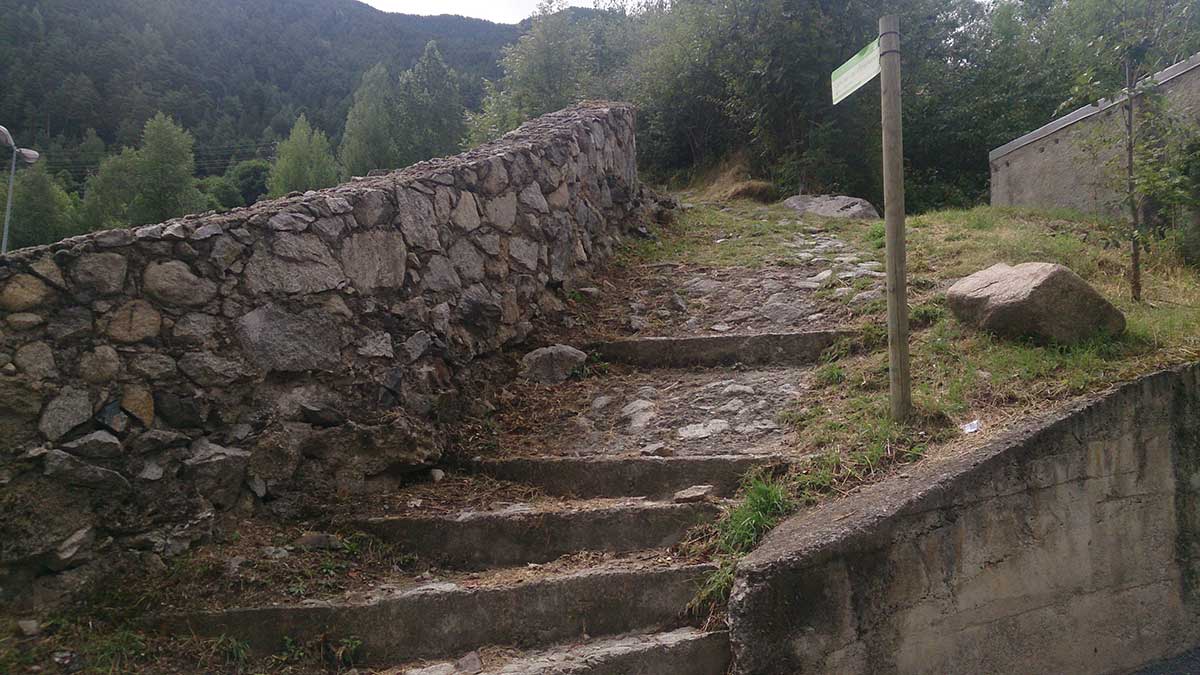
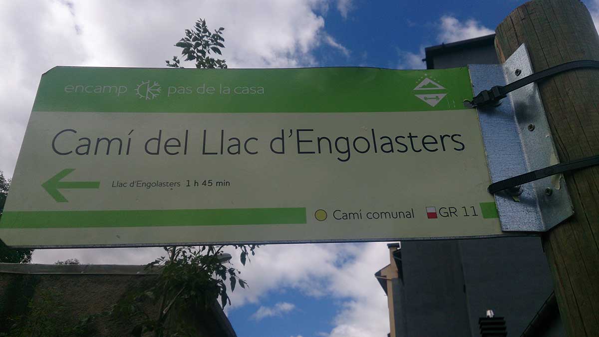
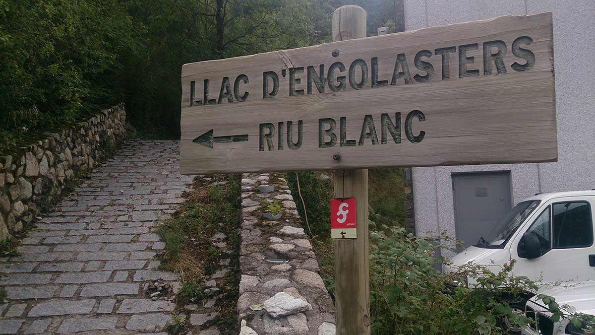
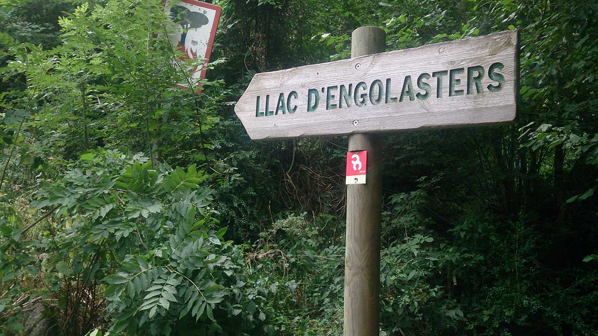
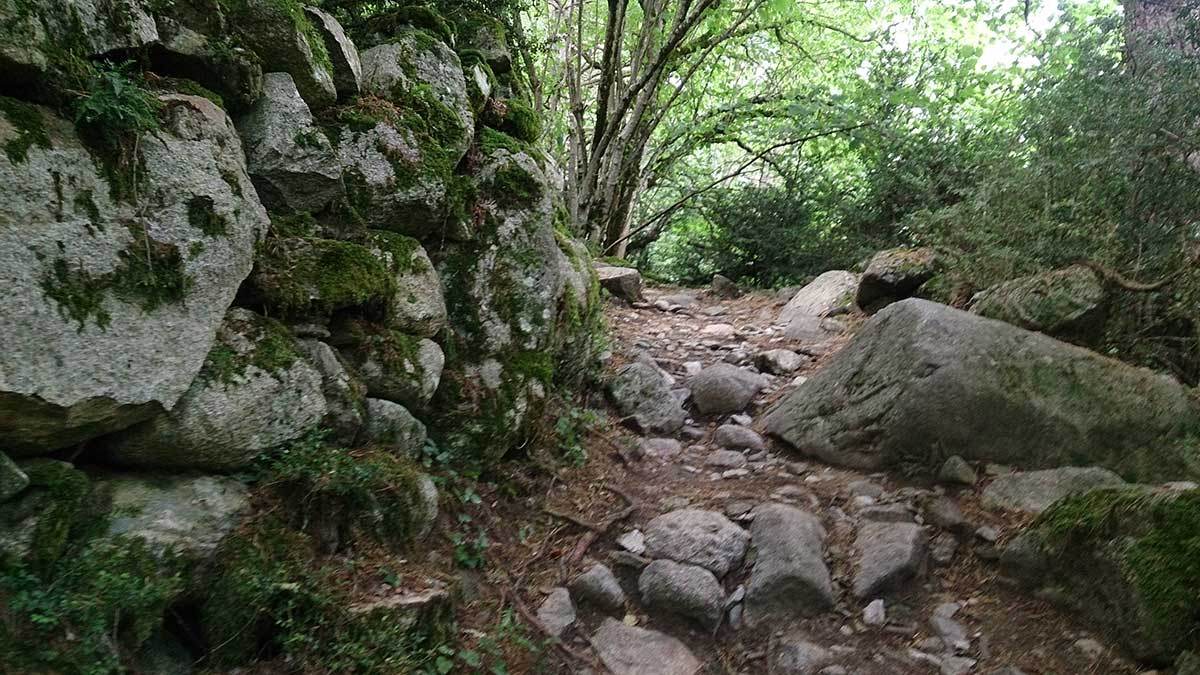
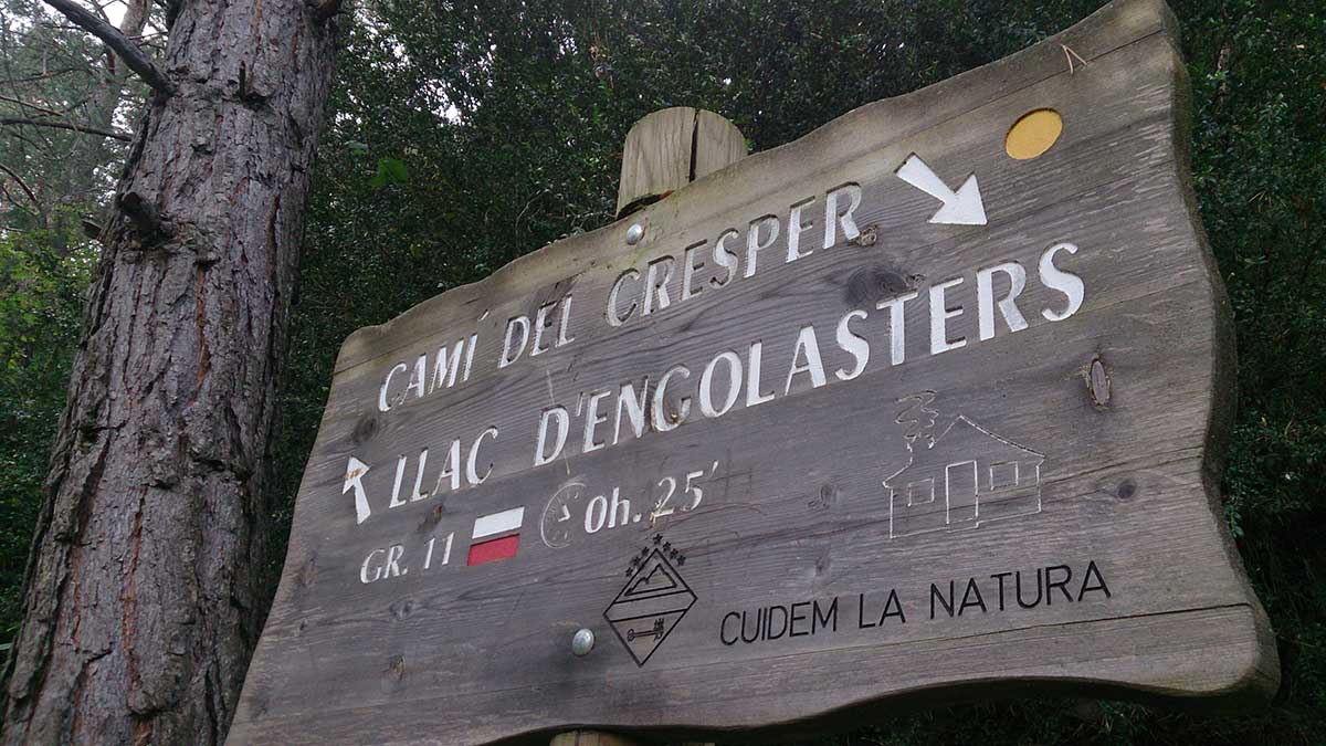
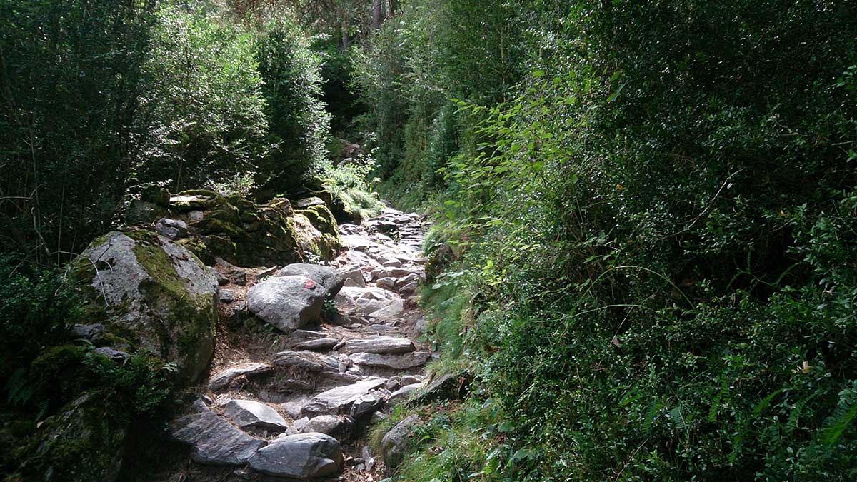
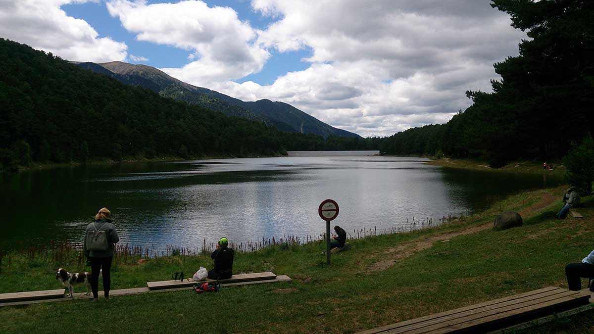
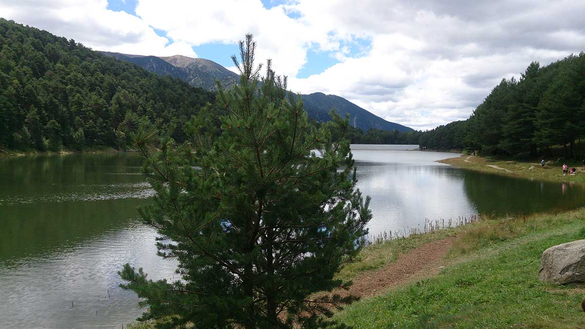
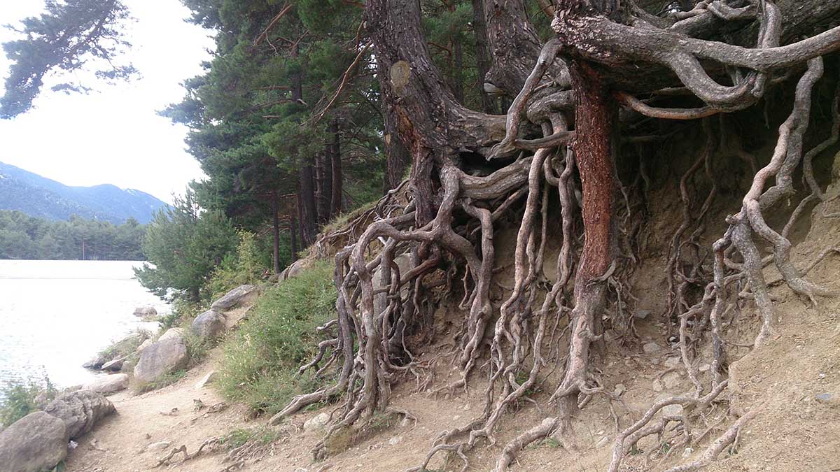
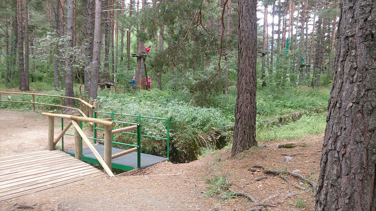
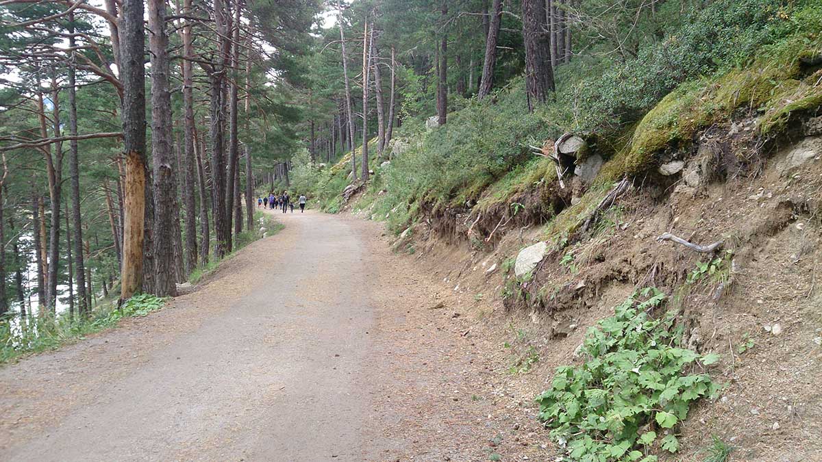
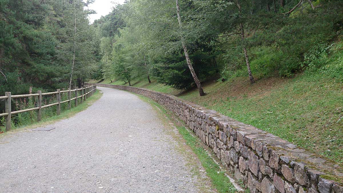
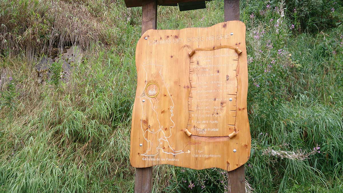
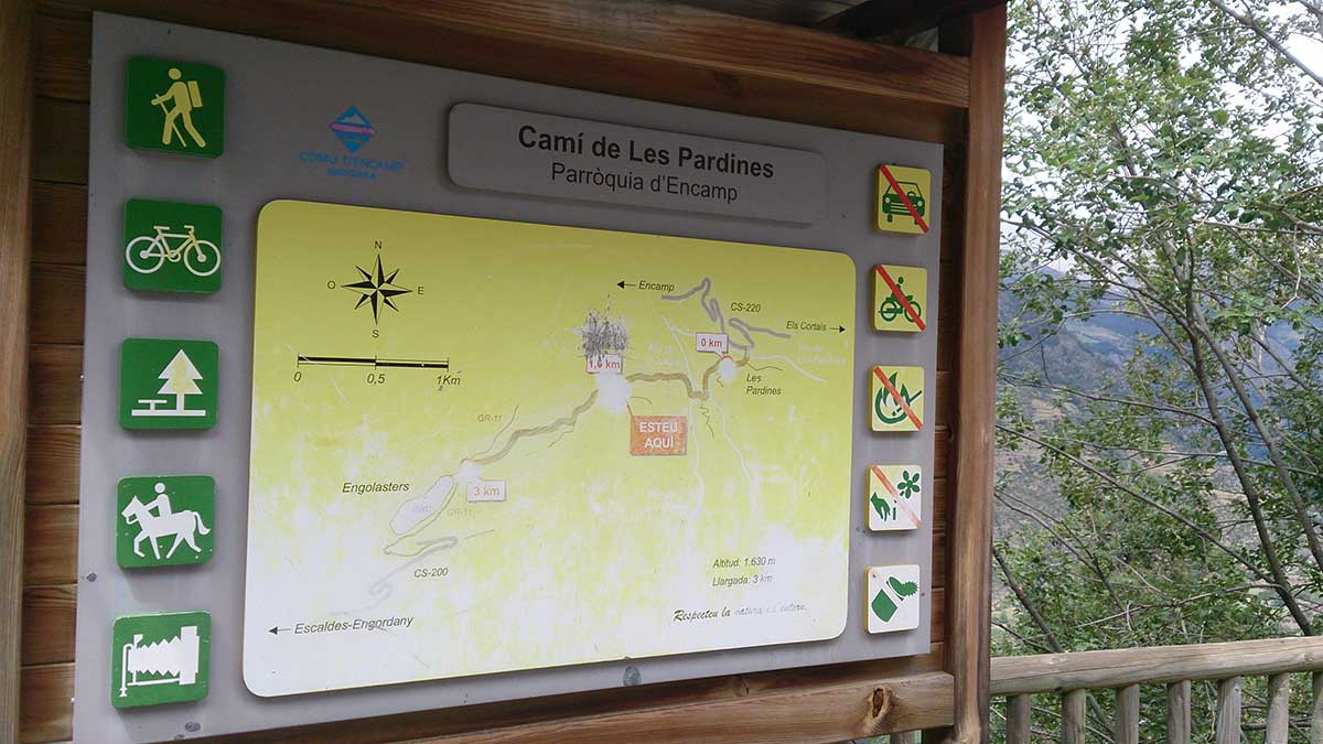
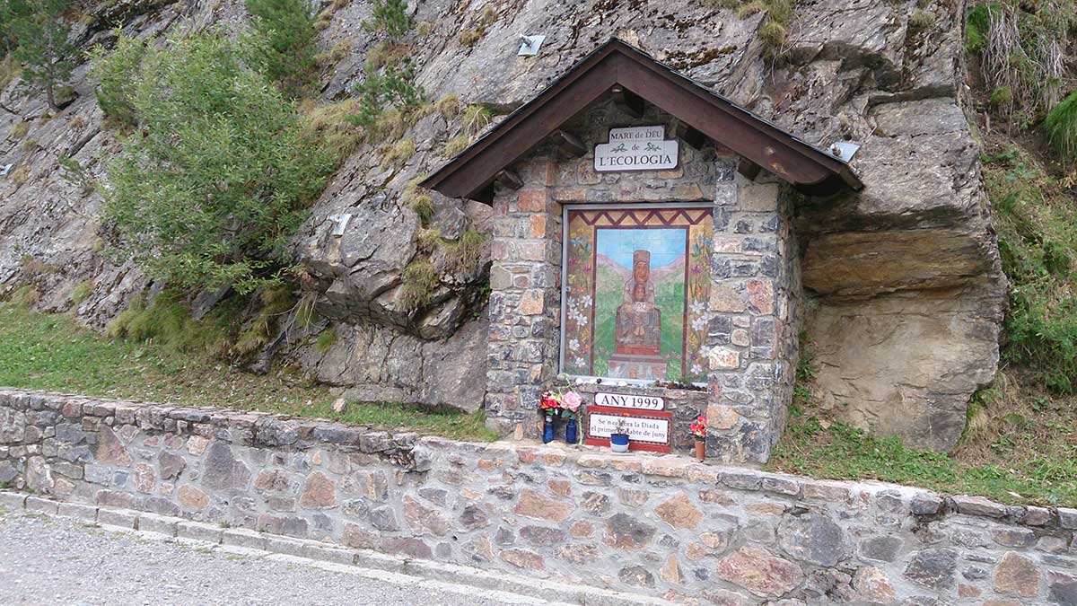
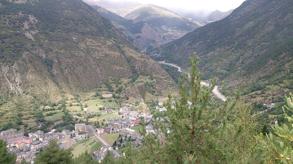
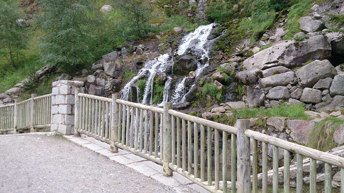
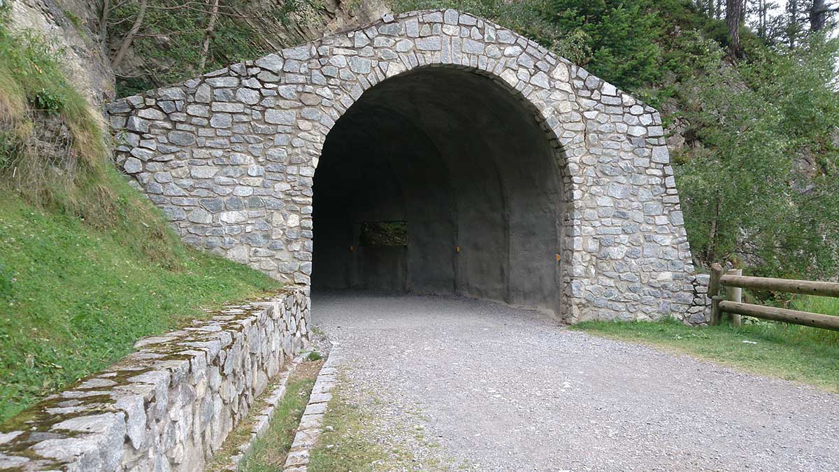
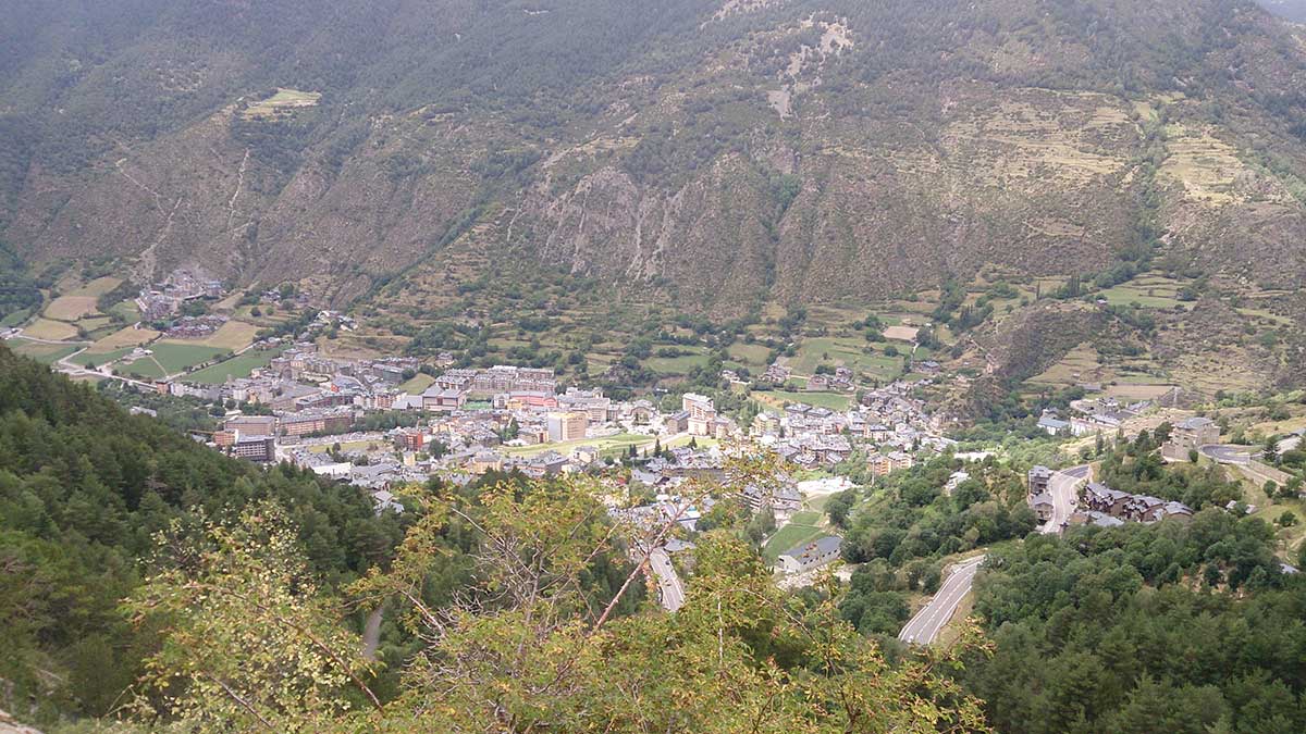
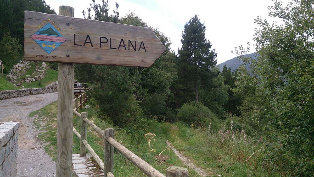
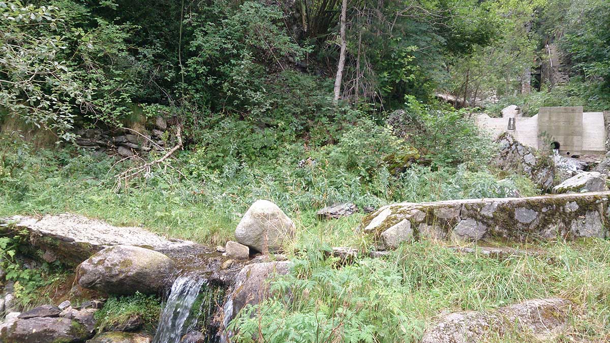
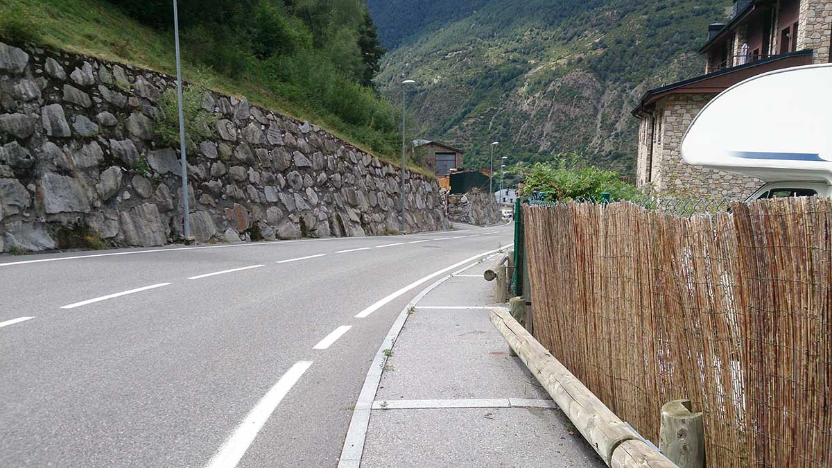
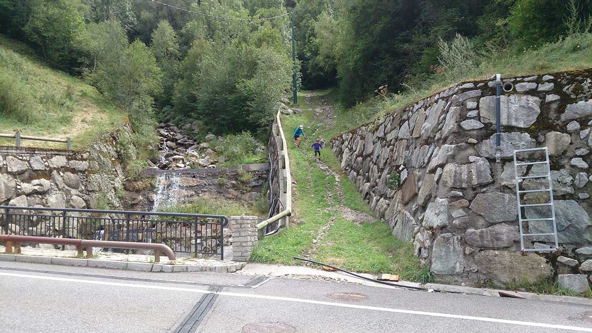
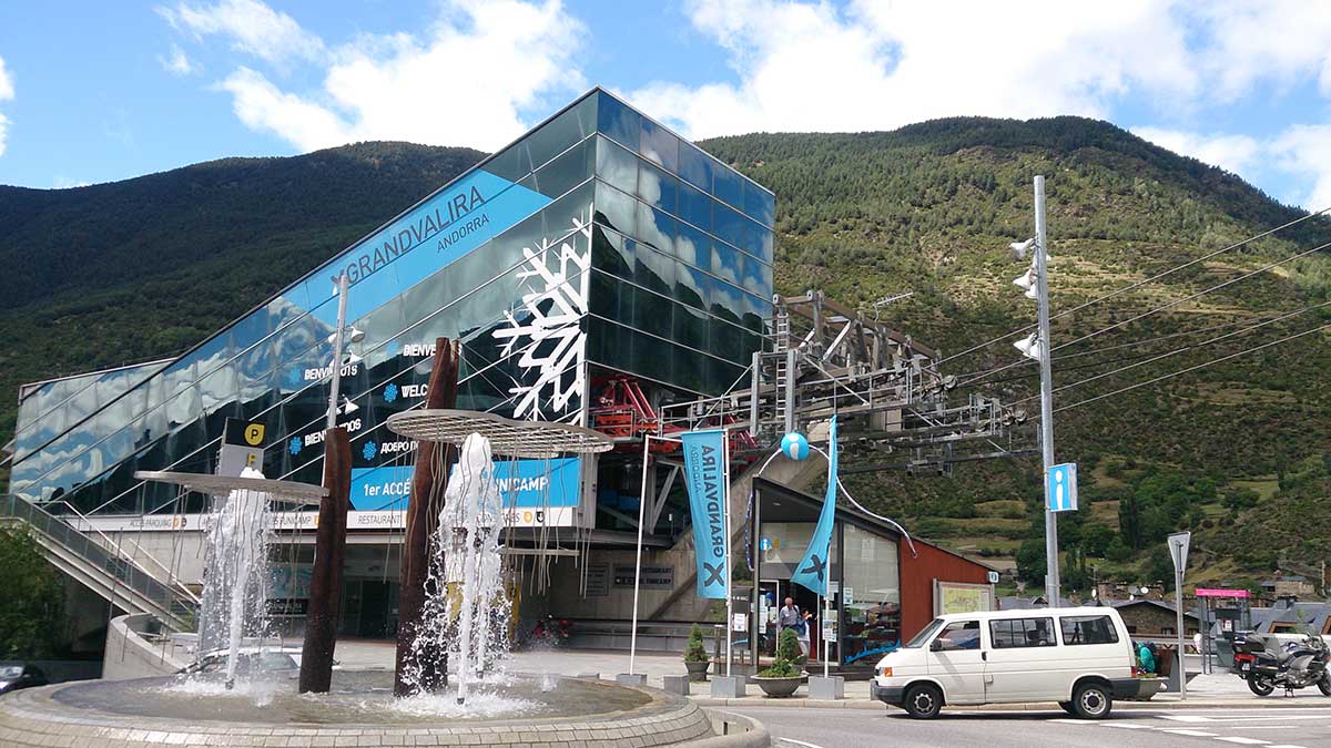
A very attractive route for high-paced training thanks to the wide track sections we will find.
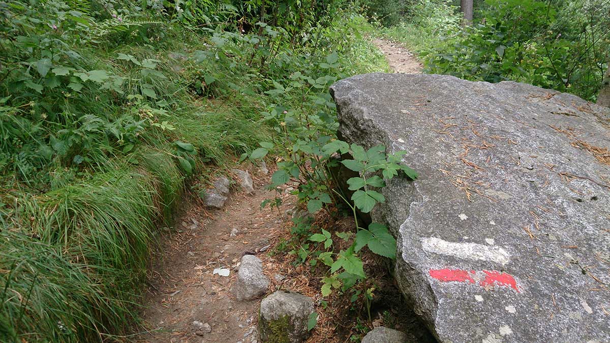
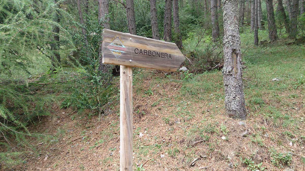
We will start the route from the Tourist Office, and through the main artery of Encamp, we will reach the beginning of the path, which is well signposted. The path starts with a steep climb, makes us cross the road, and then, without respite but on a comfortable and very shady trail, takes us to Lake Engolasters.
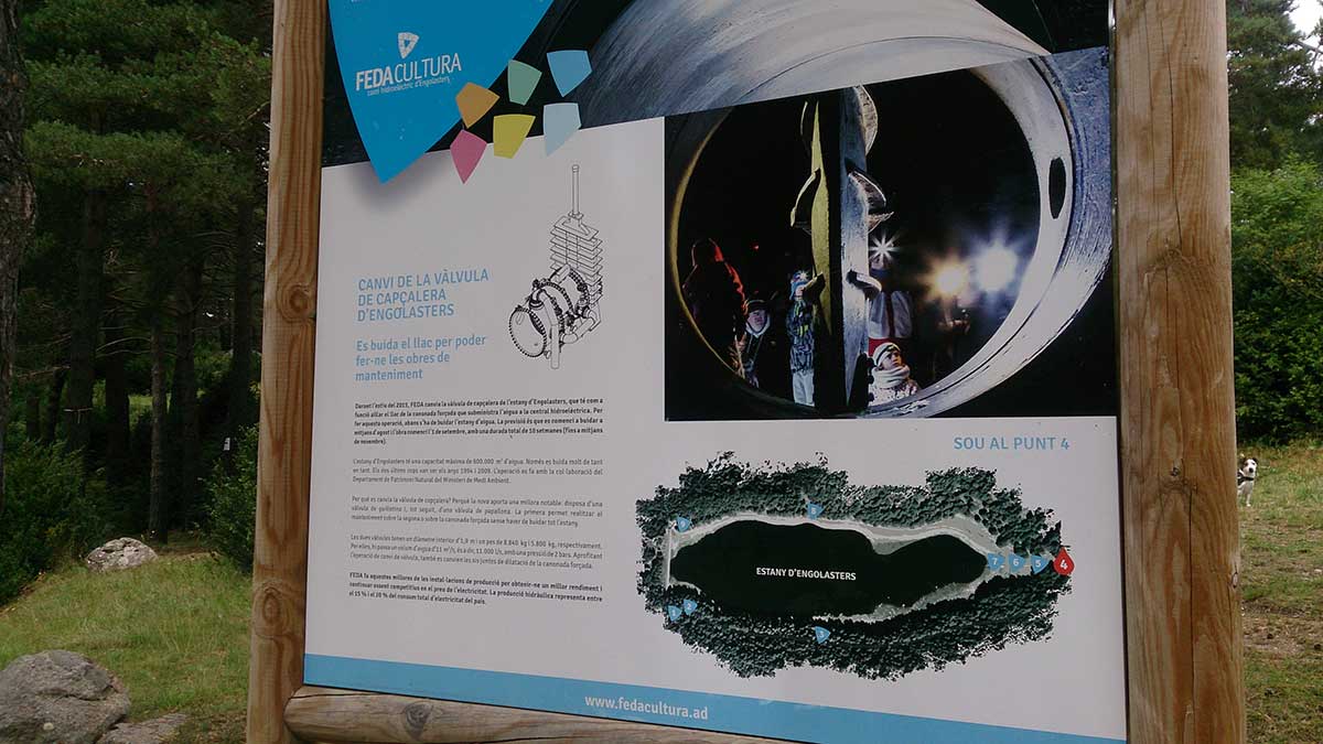
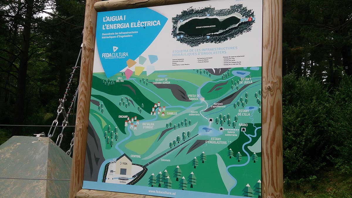
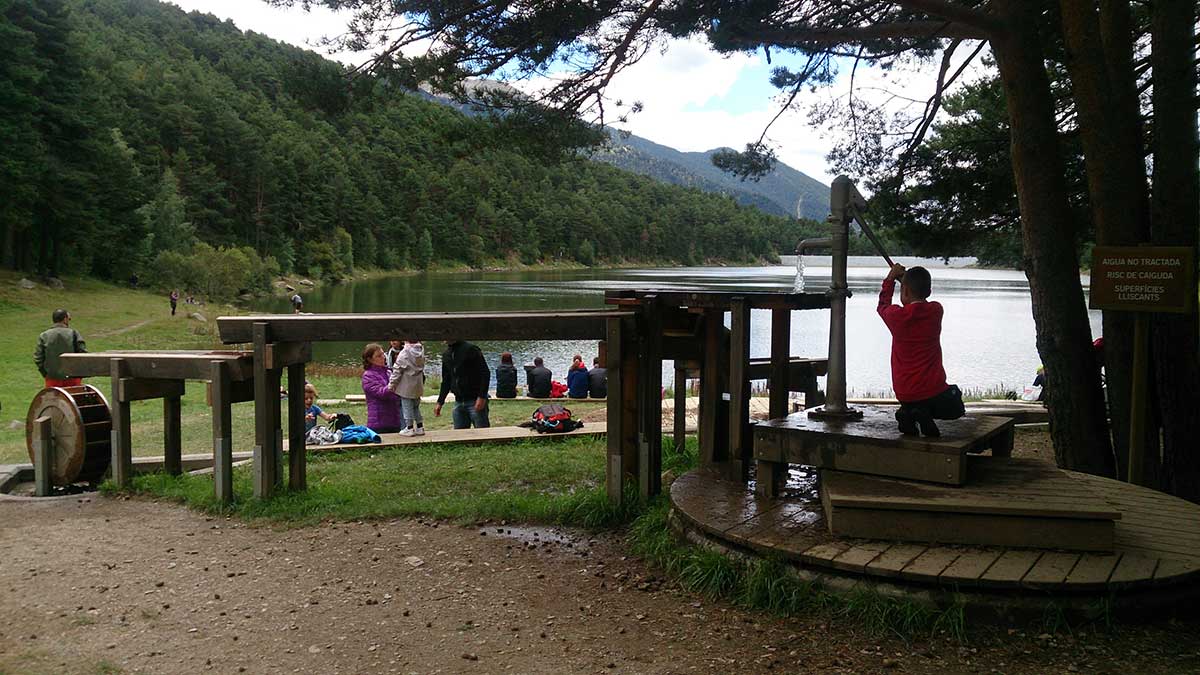
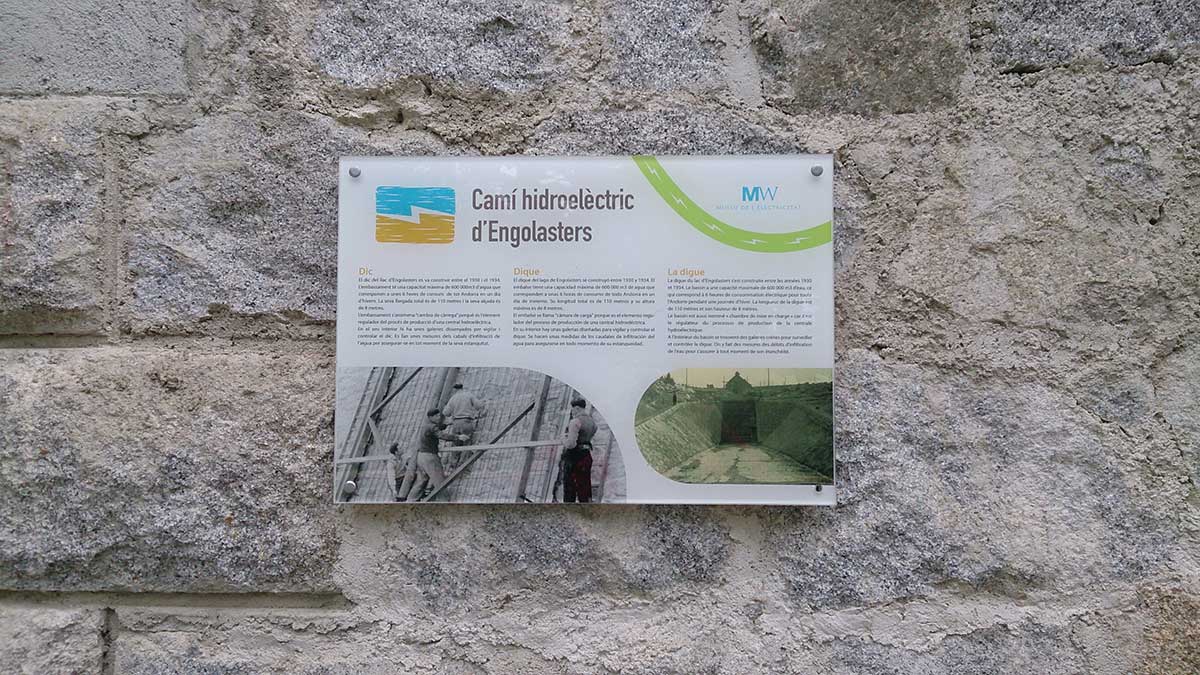
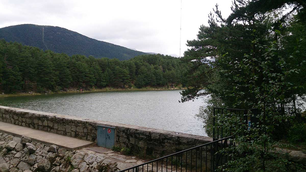
We will circle the reservoir and take the opportunity to learn from the different points along the route, where the operation of the power plant is explained.
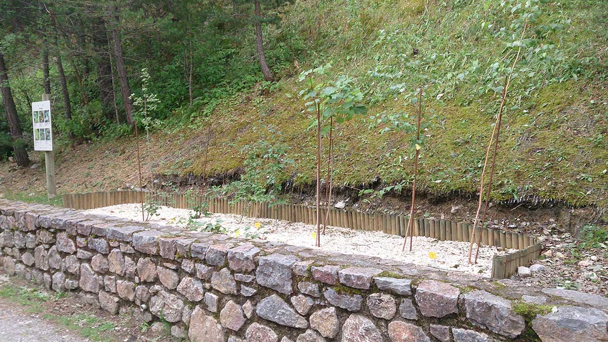
On the way back, we will cover the 3 flat kilometers of the “Carretera de las Pardines,” a dirt stretch conditioned as a botanical garden, where we will find some viewpoints and a tunnel. Shortly after the tunnel, we will reach the parking lot, and right there we will make a sharp left turn to start the descent, with a steep slope, which will take us to the Urbanization of Pardines, from where we will complete the last kilometer before reaching the starting point, along the sidewalk.
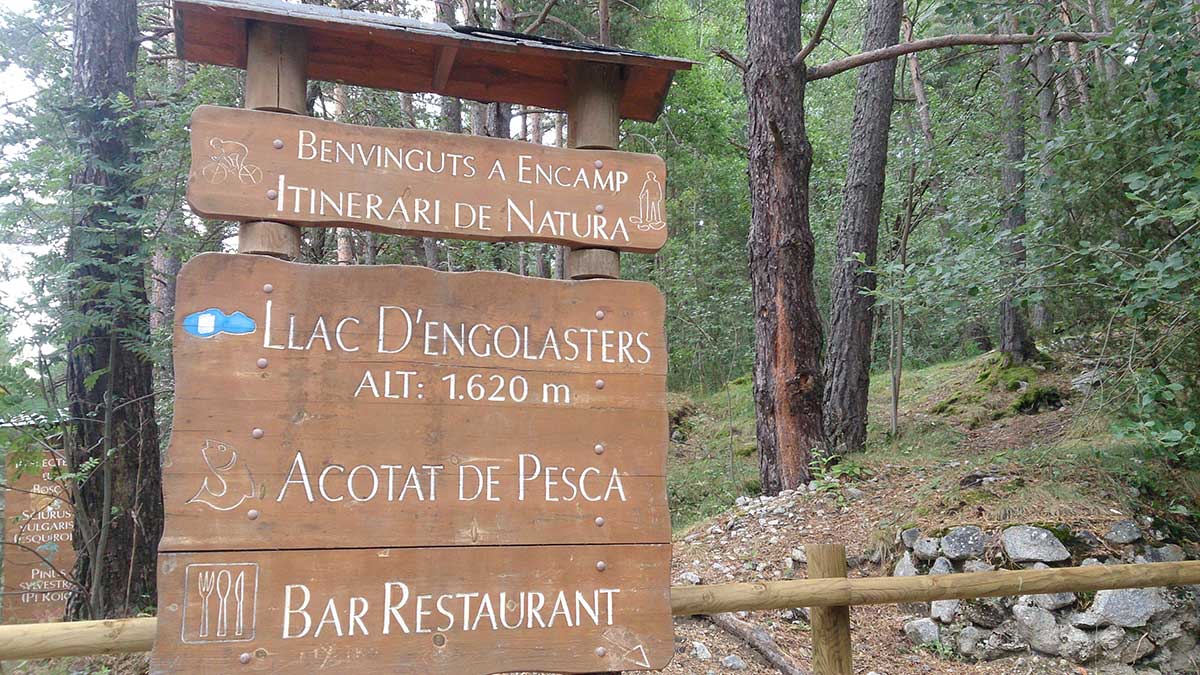
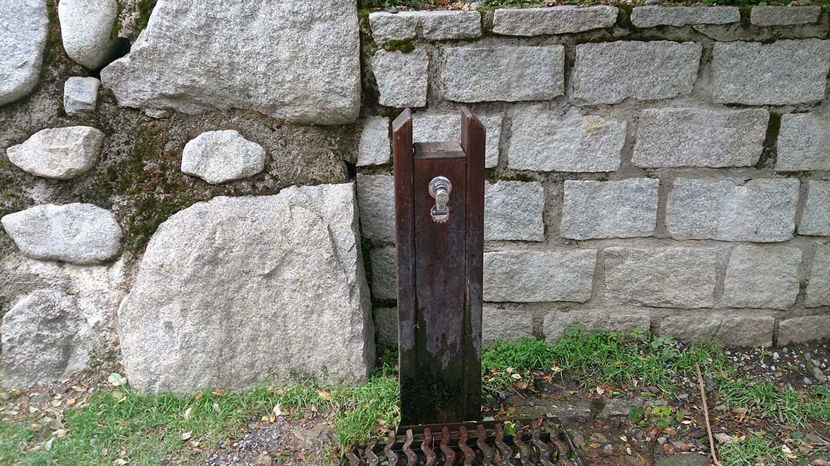
WATER.- All services in Encamp. Bars and restaurants in Engolasters. Several fountains on the Camino de las Pardines.
CULTURE.- Visit to the hydroelectric system.