TRAIL RUNNING IN ENCAMP

Keep in mind that weather forecasts in high mountains may be different.
TRAIL VERTICAL FUNICAMP
Total Distance: 4,7 Km
Elevation gain: 950 m
Start point: Encamp
Finish point: Funicamp Middle Station
Min. height: 1250 m. (Encamp)
Max. height: 2090 m. (Funicamp Middle Station)
Photos in the direction of the route
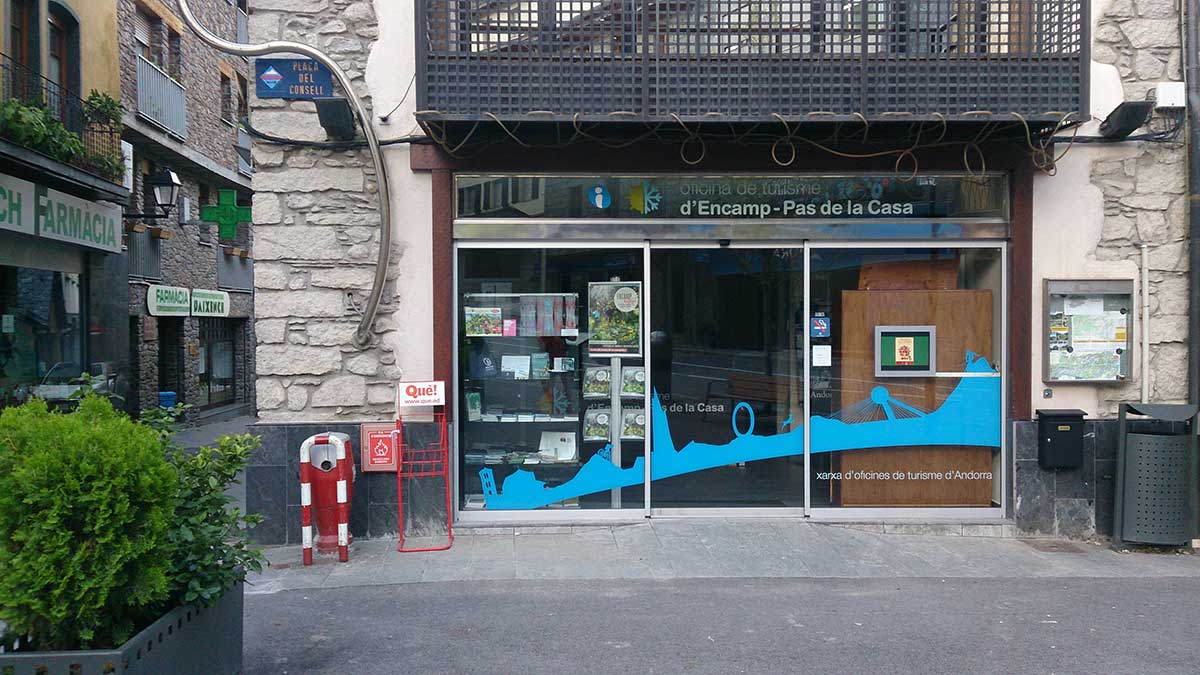
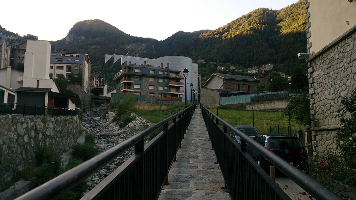
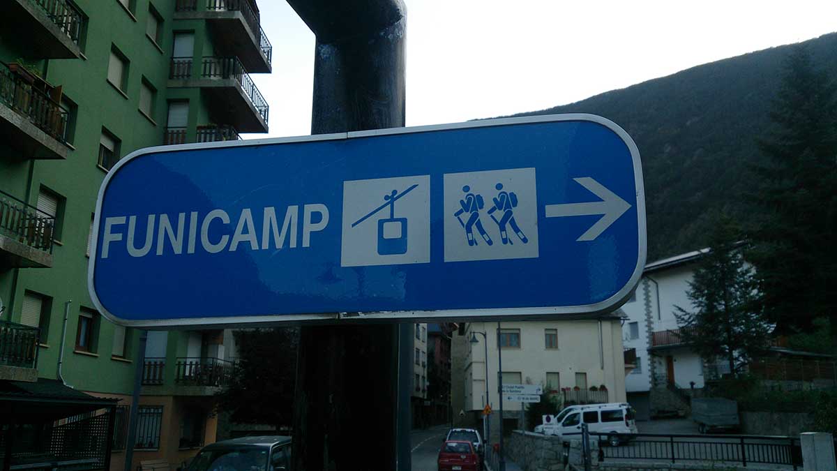
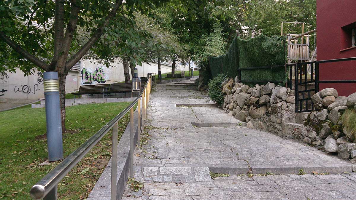
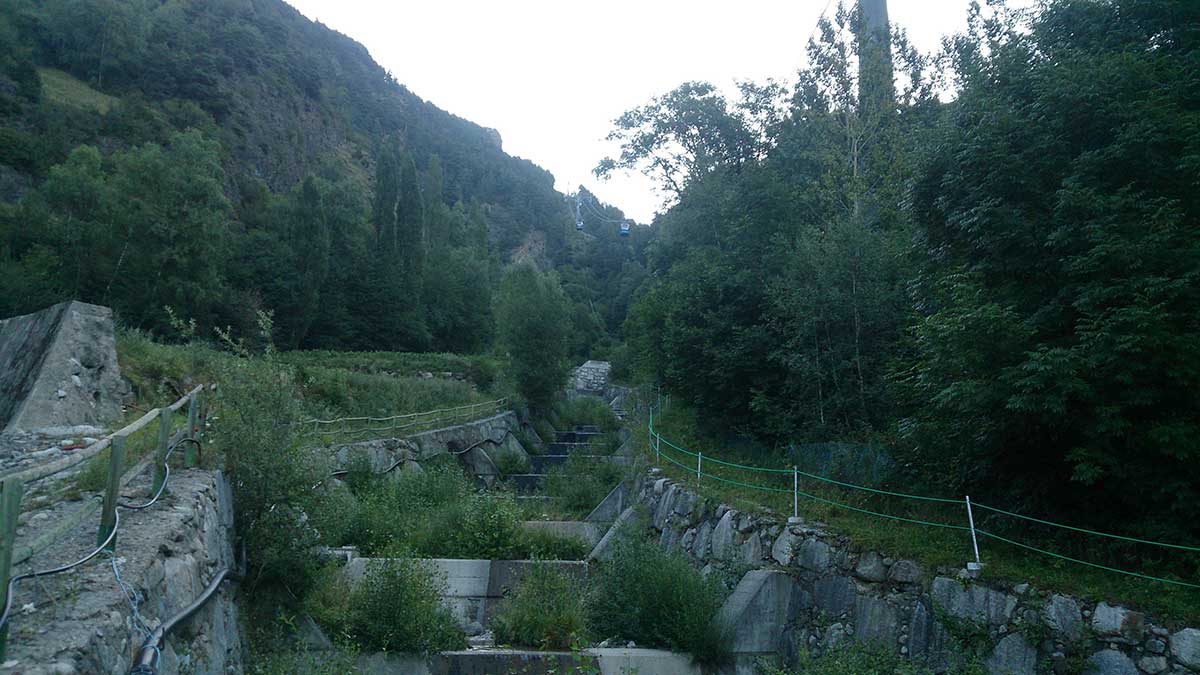
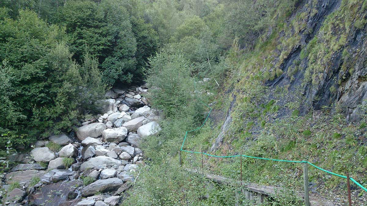
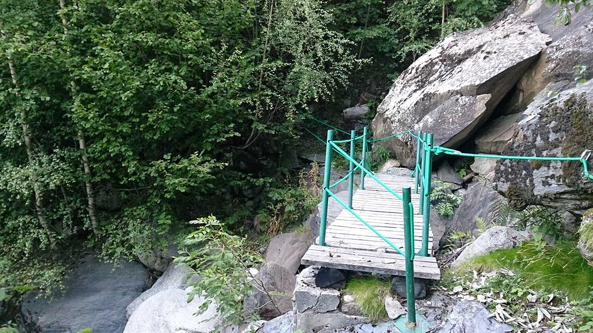
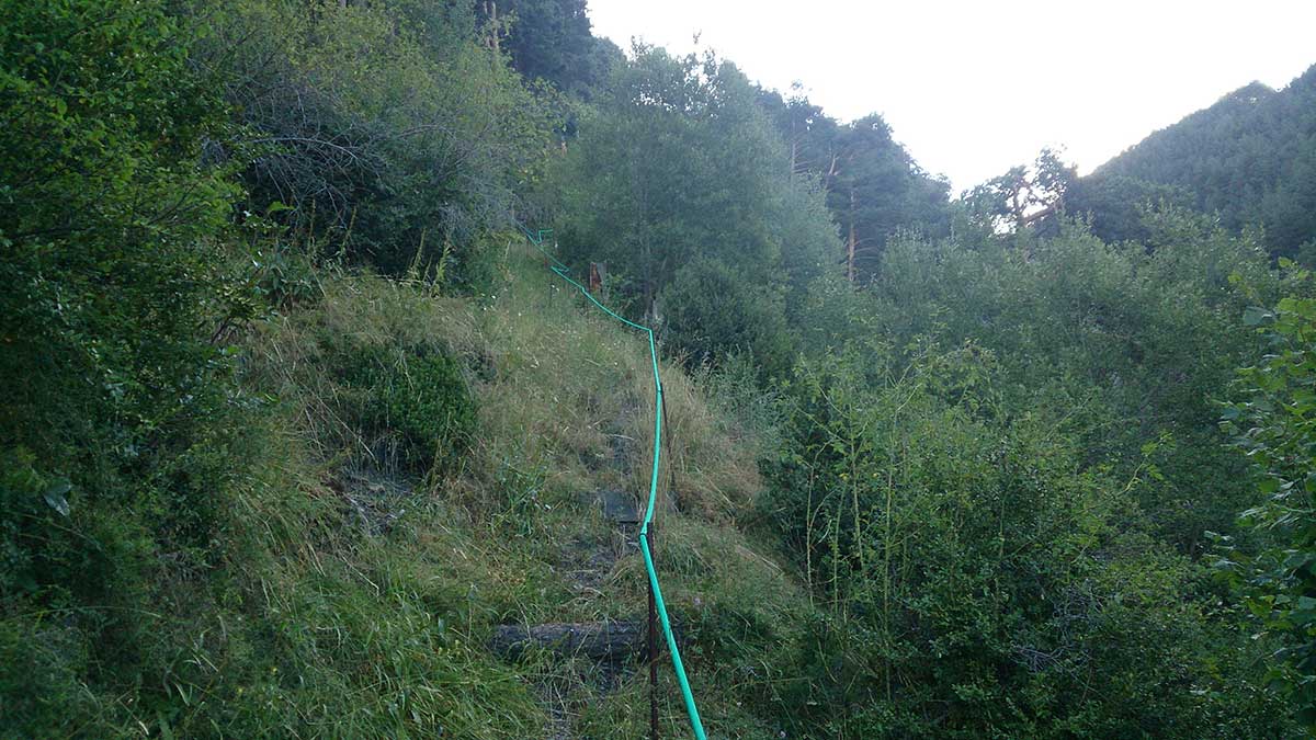
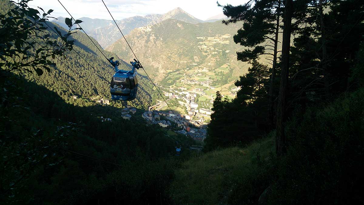
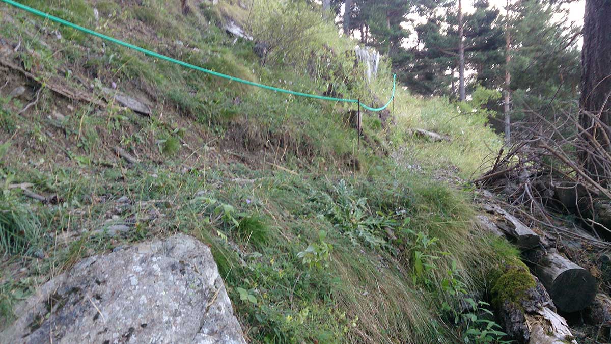
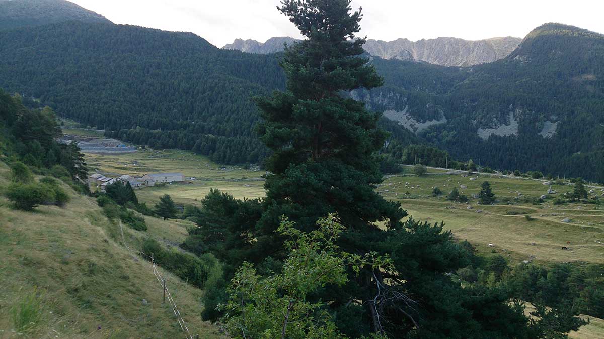
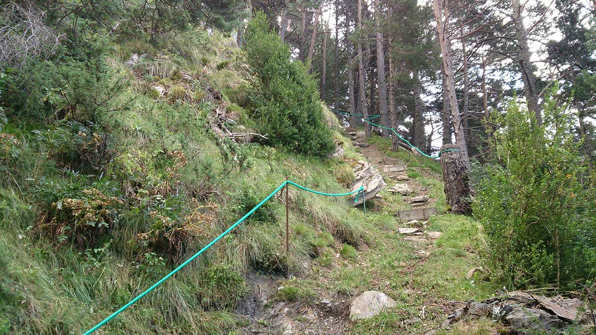
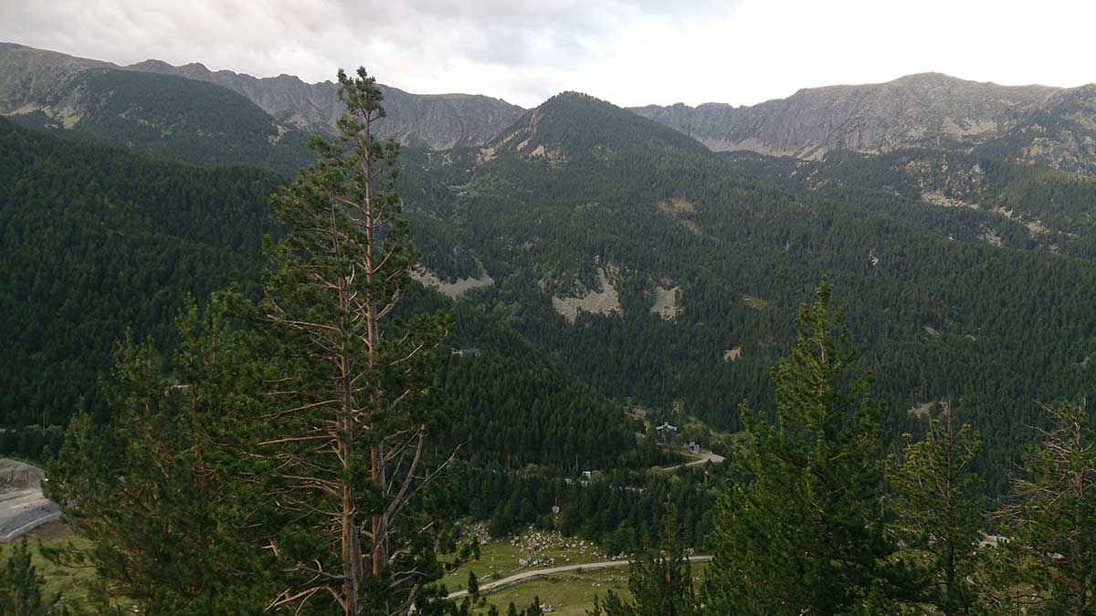
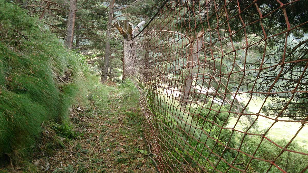
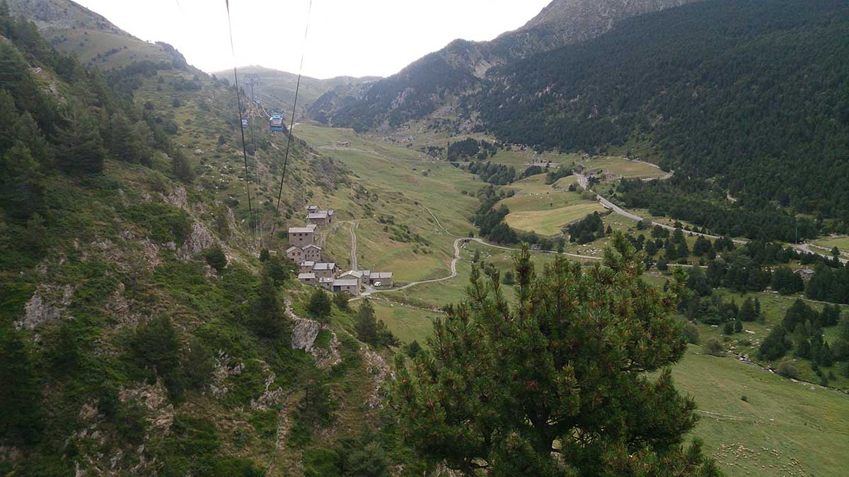
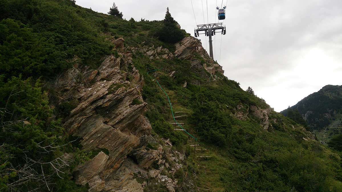
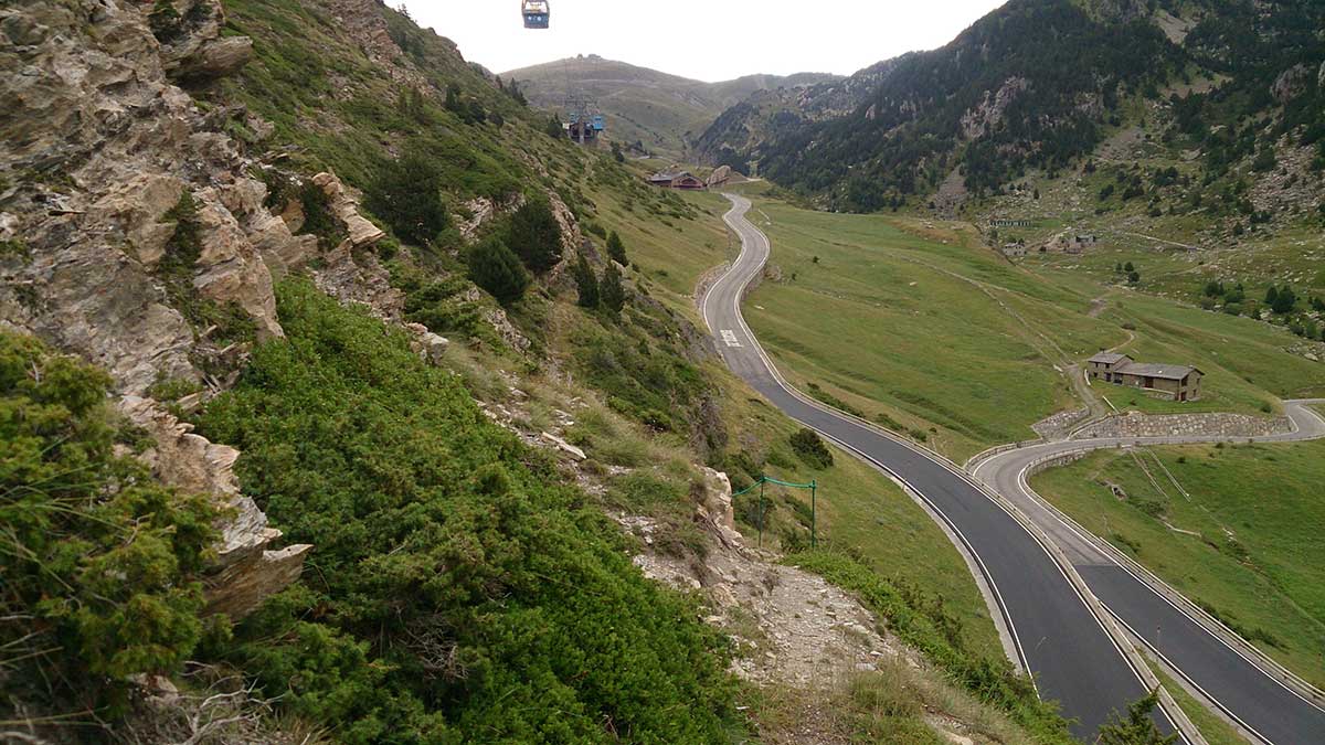
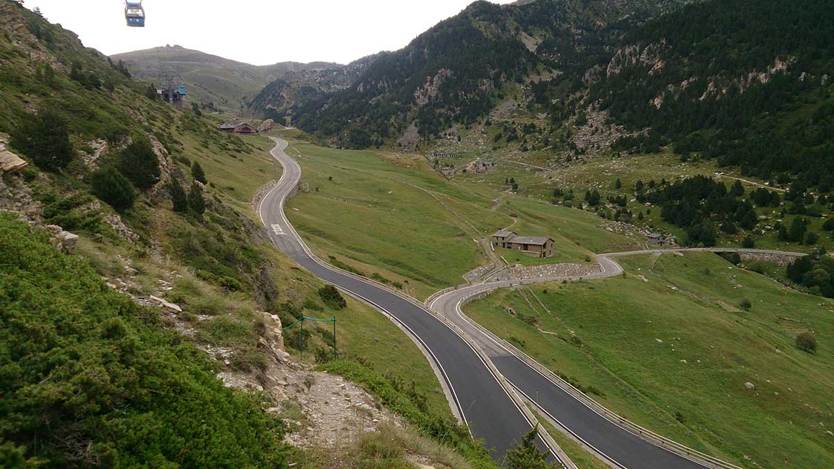
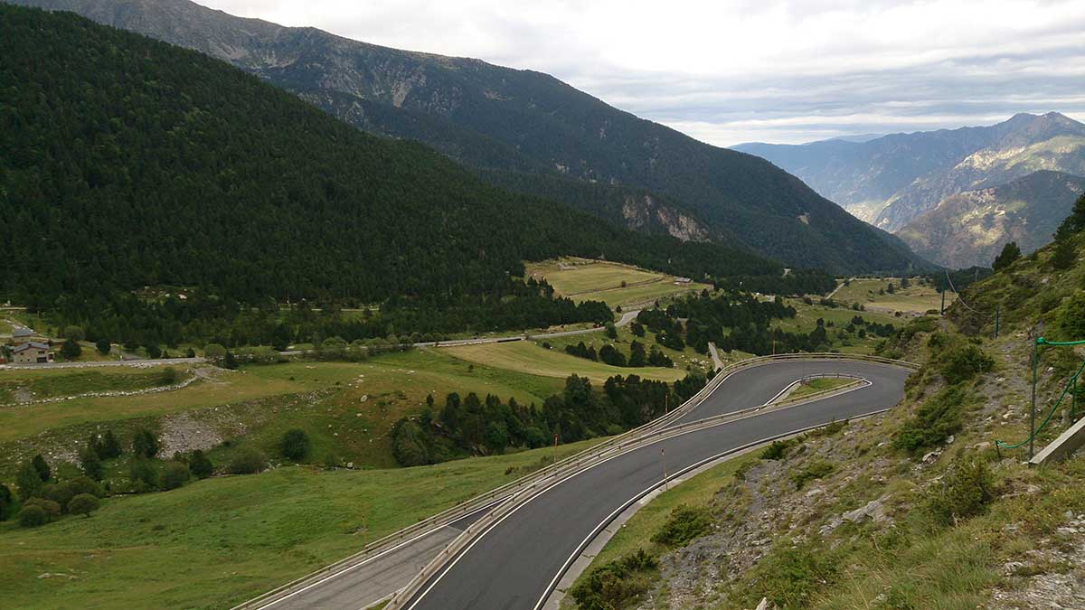
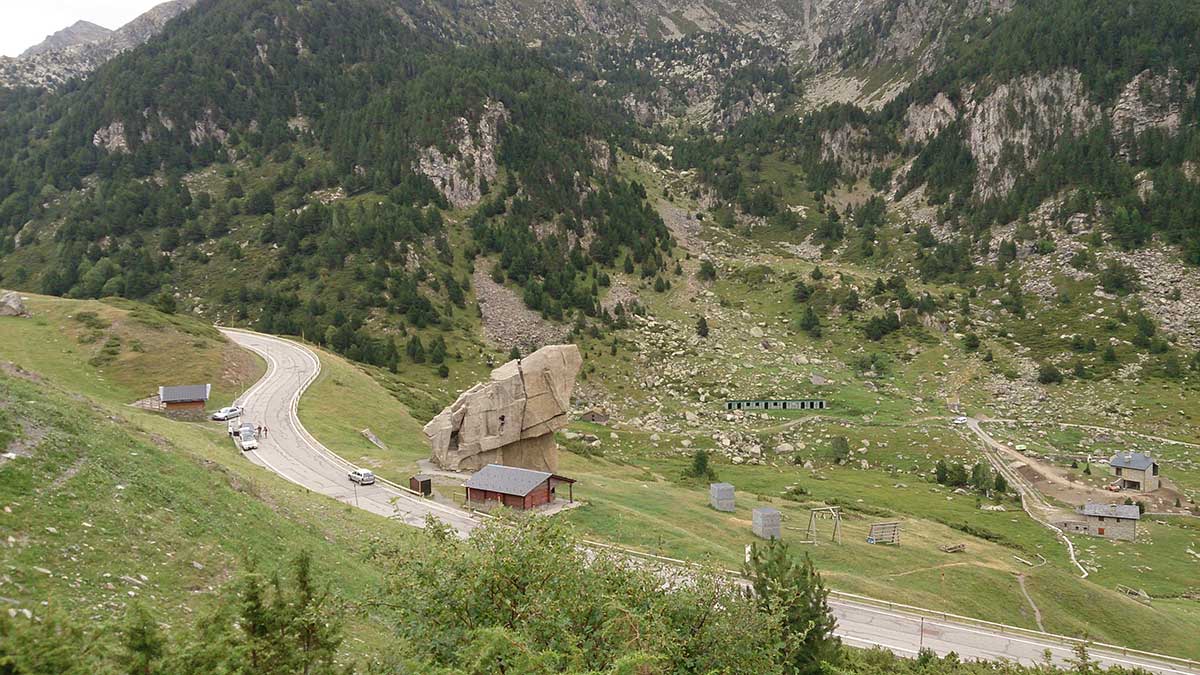
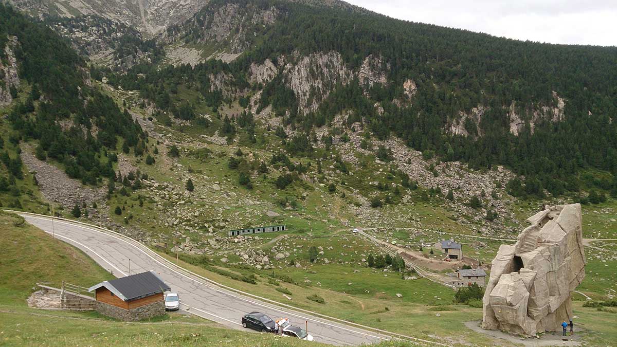
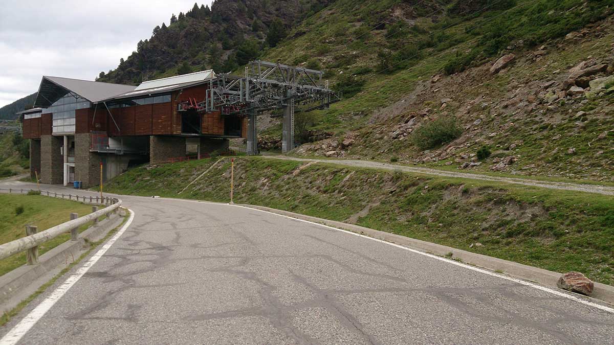
This is a demanding trail that, in some stretches, will count with ropes that can be used as handrails for extra support. The Funicamp evacuation route will be followed along the whole route.
Starting from the Tourist office, walk through the streets that are already on uphill until you find a path, just beside the ravine.
The path is a continuous upward slope, with some challenging sections. The ravine will be crossed a few times, always by wooden bridges. During the first 3 kilometers, you will have ascend around 700 meters height. After that, you will find the ropes that will help you to continue, finding two short descents in this stretch.
The path will become flatter and with good going terrain during the very last part of this route, which will finish at the intermediate station of Funicamp.
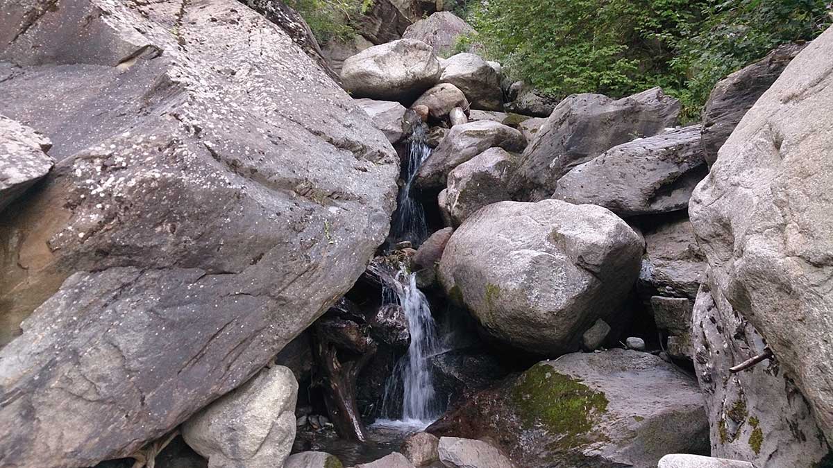
WATER: All needed water facilities are available in Encamp. There are some streams along the route.
TOURISM: Encamp.