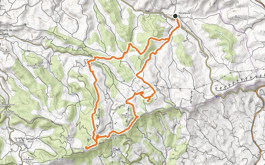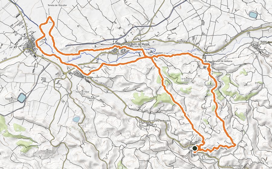
The route
URGELL HORIZONS
This is a route that will allow us to enjoy the open space and far away horizons that will make us feel completely free. We will go the most of the time on a wide dirt track, largely following the GR-3. The route can be done entirely by mountain bike. We will always be surrounded by cereal fields, and pleasantly accompanied on a couple of sections for the Urgell Canal. We will visit small towns, Rocabertí de San Salvador, Donzell d’Urgell, Mafet, to finish where we started, on the outskirts of Agramunt, a town that we can visit slowly at the end, and perhaps enjoy the local products par excellence, nougat and Xocolata a la Pedra (a very special chocolate).
The route does not have any technical difficulties, it is suitable for all types of runners, and it will allow us to run at as high pace as we can. Clearly, it will have a first part with a gentle rise and a second part with a soft and flying descent. It will be very easy to follow and will help you get started both in the world of trail running and in the world of navigation with GPS devices.
We will leave from a small car park on the outskirts of Agramunt next to the C-14 that merges with Calle de los Segadores. We cross the road and head to the left and immediately to the right where we will immediately find the Urgell Canal sign. We will go parallel with the canal on the right-hand side for 600 meters and we will take a detour to the left-hand side to shorten the route of the canal a bit. 700 meters later we will find the canal again and we will go through the bridge to cross it. We will follow the GR-3 Donzell d’Urgell signs, always in a straight line and with the town of Donzell d’Urgell always in the horizon. At km 4 we will find a crossroads that we will take to the right and 300 meters later to the left. Now we will continue fully facing some buildings set on the horizon, Rocabertí de San Salvador, where we will arrive with 6.6 km traveled. Arrived at Rocabertí de San Salvador, it will be worth observing the ruins of the church and the panoramic views from this high point. We will leave Rocabertí behind us, we will find a dry-stone hut and a few meters later we will take a detour to the left that will take us towards Donzell d’Urgell where we will arrive 2 km later. First, we will find the well-kept Hermitage of San Roque and the Tossal de Sant Roc (460m), the highest point on the route and raised by a large black cross. We will continue a few meters on the left-hand side along the road and we will arrive at Donzell d’Urgell, km 9, which we will border leaving the town on the right-hand side and we will continue, passing in front of a solitary stone fountain, by the Gorga path in clear descent and following the indications of Agramunt. 500 meters further on we will take the crossroads on the right. The track will continue to descend and soon we will have in sight a distant hermitage, the next objective of our route, the Hermitage of the Virgen de la Gorga, already in the municipality of Preixens, which belongs to the La Noguera region, km 11.5. We will continue down the track and just past a small forest, we will take a path on the right that will lead us through the vegetation to a wider track that will take us after a small climb to Mafet, km 13.2, we will go up some stairs on the right and we will be in front of the Church of San Lorenzo. We will go straight down the stairs that will leave us on Calle Mayor where we will leave the town on the asphalt. 400 meters later we will find the Urgell Canal that we will not leave until we reach the C-14 again where on the left we will find the car park from where we left 17 km before.
The towns
- Agramunt
- Donzell d’Urgell
- Mafet