The route
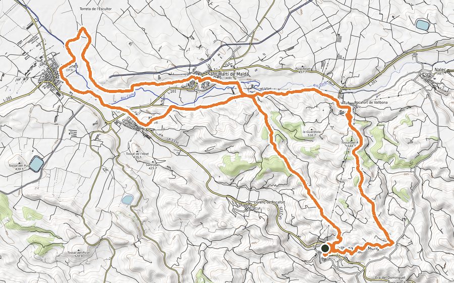
Circular route through the highest area of the Urgell region, with ascent to the highest mountain, the Tossal Gros de Vallbona (804 m). We will pass by the Sanctuary of Tallat with a lot of tradition and the villages of Rocallaura and Montblanquet. The area is perhaps the most wooded in all of Urgell and has an excellent viewpoint of the region neighbor, the Conca de Barberà.
The indications that we will follow throughout the route are those of the PR-C58, of yellow color and that we will find in the beaconing of the route to practically each crossing. The route runs mainly along a wide track and with the exception of the 200 meters from the track to the top of Tossal Gros it can be done by mountain bike.
We go downhill in front of Rocallaura Town Hall and after crossing the road we will find the explanatory panel of the Serra del Tallat. We will continue along the Camí dels Hostalets which, on a constant climb, will take us through the Bosc de la Serra del Manantial to Pla del Bisbe and finally reaching the Santuari del Tallat km 4 from where we can enjoy spectacular views. We go back about 150 meters to recover the path and turn left to continue the route. We will skirt wheat fields and re-enter the forest. We will pass by Cap de Coll and we will have to be careful to take a narrow path that will lead us to the top of the region, the Tossal Gros de Vallbona (804 m). We will go back 500m to take the track that will take us to cross the line of wind turbines. It’s awesome to see up close how these wind turbines spin on windy days. We cross diagonally the runway of the wind turbines line and follow a path that comes out next to the wind turbine no. A2.3. We go up an embankment, skirt a field and continue between it and the forest and face north. We leave the forest, pass by the Fondo de Blancafort and arrive at the village of Montblanquet. On the left we will find some old laundries. We cross the beautiful and well-kept village and leave along the Carretera dels Omells. We continue to the right in the direction of the Sierra del Manantial and enter a forest. After about 500 meters we will find a dry stone path on the left. At approximately km 14 and about 200 meters to the left is the L2 Artillery Observatory, which we can optionally visit outside the route. At km 16 we will pass a crossroads and return to the left along the initial road to Rocallaura.
In Rocallaura we will find the Church of Sant Llorenç, from the s. XIII Romanesque-Gothic transition style, the Castle of the s. XII and the Sanctuary of the Carving of the s. XIII, an old flowery Gothic sanctuary and an impressive viewpoint of the counties that converge there, with a leisure and recreation area
In Montblanquet we will find the Romanesque Church of Sant Andreu, with Cistercian lines, s. XIII, and the rest area of the Font Vella.
Breakfasts can be booked at the Rocallaura Café bar by Whatsapp at 622160552 or 633322830 or email rocallauracafe@gmail.com.
The towns
- Rocallaura
- Montblanquet