The route
Get your ranking on this route with the Open Trail Races app
PEDRÓ DELS QUATRE BATLLES
This route is designed for those looking for a long training session with plenty of climbing that allows a good pace almost all the time. It includes a long 13 km climb that hardly lets up, with an average gradient of 11% but many stretches over 20% and up to 40%. There is no section on the whole route difficult enough to mention. You will need to carry water for the whole route and bear in mind that for a long time you will be above 2000 metres, where the weather can be very different from Sant Llorenç de Morunys (900 m).
The aim of the route is to climb the Pedró dels Quatre Batlles, from which, on a clear day, there is a great panoramic view of the Serra del Cadí, Pedraforca, much of the Pyrenees and a good part of Central Catalonia. The summit is not a prominent peak; you will recognise it by the large rock and the information panels around it. A pedró was the name given to the stone or pile of stones used to mark the boundaries of a municipality or an estate. Here four municipalities meet: Odèn (SW) and La Coma i la Pedra (SE and E) in the Solsonès, and Fígols i Alinyà (W) and La Vansa i Fórnols (N and NE) in the Alt Urgell.
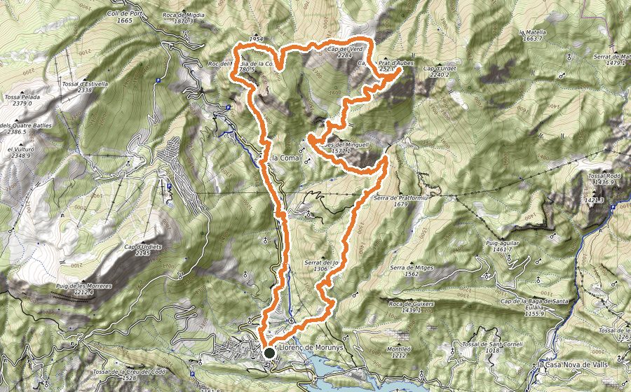
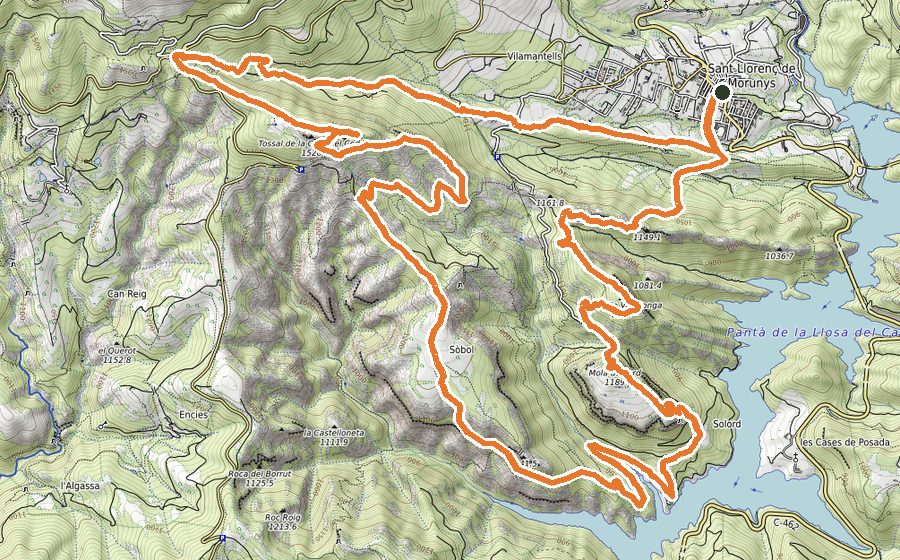
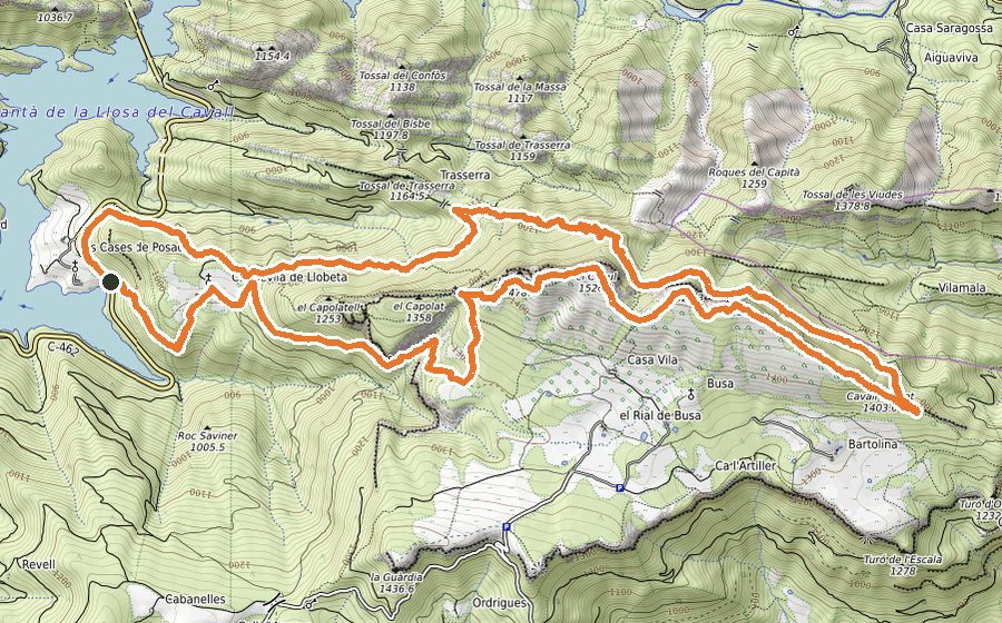
We set off from the Tourist Office in Sant Llorenç de Morunys, where there is plenty of parking for your vehicle. We go up the Berga road through the village and, after passing the Hotel Piteus, follow the road to the right. We soon reach the Plaça de la Canal, where we leave the road on the right and continue along the Raval de Santa Creu. We soon leave the village behind and go down a dirt path to the Torrent del Pou, which is part of the Ruta de les Pomeres (a short local route) and of the Camí de les Quaranta Hores (an old royal road linking Sant Llorenç de Morunys with La Seu d’Urgell). We come out onto the road, follow it to the right for about 40 metres and must pay close attention to the small entrance on the other side, just after the road’s safety barrier. The entrance may be covered by vegetation, but it is obvious because it goes down to the Torrent dels Plans, which we climb gently until we join the forest track. We are now at just over 900 m and have started the long climb that will not let up until we reach the top of the route at 2386 m. We climb steadily on a wide track following the signs to Port del Compte; at km 4.4 we join the Camí de Prat Llong, which we leave to the left a kilometre later on a paved stretch, which we also leave by going straight on and following the power line. We reach the Port del Compte ski slopes at 1980 m. From here we cross the slopes, watching the GPS, through the shady side of La Bòfia, crossing the La Rata ski lift, the Els Galls ski lift, the El Sucre chairlift and finally turning right after the La Bòfia chairlift. We follow the signs to the Pedró dels Quatre Batlles and pass to the left of the water reservoir, climbing the Rasa Pauet from 1970 m to 2215 m, where we turn left and head decisively towards the Pedró dels 4 Batlles. At the summit, if the sky is clear, we have spectacular views of the Serra del Cadí, Pedraforca, much of the Pyrenees and a good part of Central Catalonia. We descend gently to cross the Urdoll stream at the Esplanada del Refugi (2030 m) and climb again. About 300 m after the Portell de l’Os (2091 m) you can shorten the route by 4 km by going down to the right along the Camí dels Izards, from where you can see the scree. Otherwise we reach the Puig de les Morreres (2190 m). We can stop at the Mirador de Querol and the Prat de Becies to enjoy impressive views and the sheer drop below us. We continue along the edge of the cliff and pass the Cap d’Urdiets (2145 m). We are at km 20, and from here it is all downhill: 12 km of continuous descent with some stretches where we cannot run much. It is time to think about the strength we have left and perhaps eat something to recover. The first section of the descent, about 400 m, is loose stone and very steep, so we must go carefully; then we continue on a pleasant forest track that turns into a lovely narrow path and takes us, 5 km later, to Coll de Jou. We cross the road carefully and continue on the GR-1, going straight down alongside the Torrent de les Salines. We pass the chapel of Sant Serni and continue on the path until we reach the track, which, turning left, takes us into the streets of Sant Llorenç de Morunys and, in a clear straight line, back to the start.