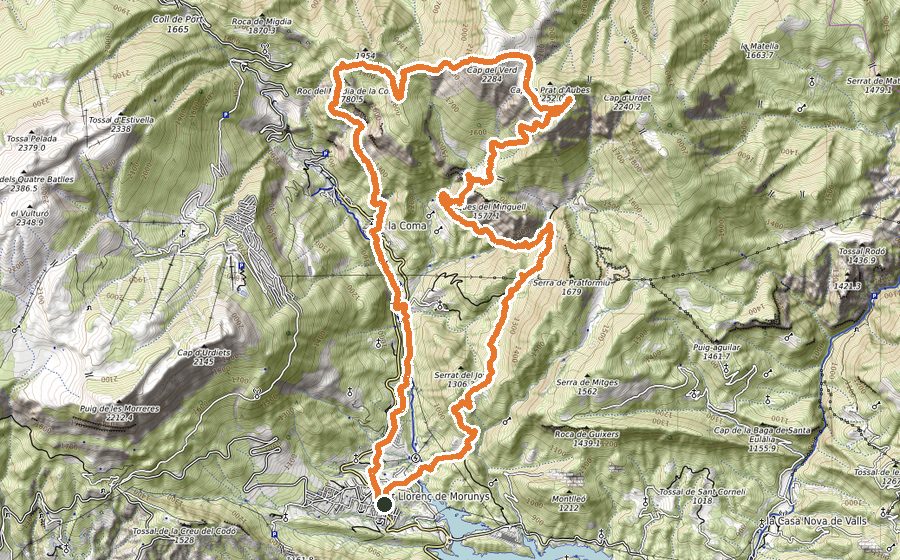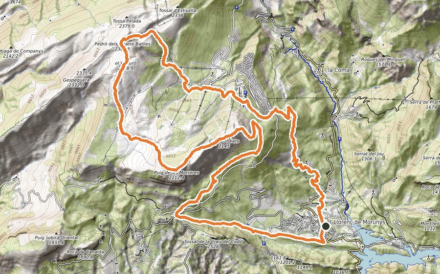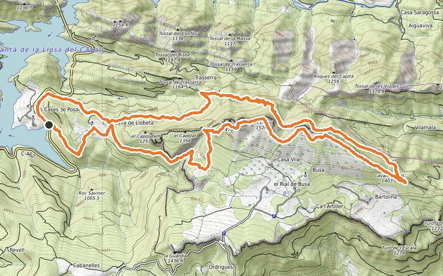
The route
Get your ranking on this route with the Open Trail Races app
VOLTA AL SANTUARI
This route offers superb views over the jagged ridges of the area and the spectacular blue of the Llosa del Cavall reservoir, on a clever loop that takes us to the Sanctuary of the Vall de Lord, which you can visit if you wish.
It runs over rocky ground, with technical descents on overgrown paths where great care is needed, and a few short passages that people with a strong fear of heights may not like.
We start at the tourist office, cross the small square and take the Passeig de Cap de Balç, then follow Carrer de la Creueta to a junction where we turn right. We continue, first on a track and then on a path climbing gently, always straight on without taking any turn-off, until we reach the chapel of Sant Serni del Grau. We go straight across the crossroads following the GR-1, which leads us alongside the Torrent de les Salines and the power line to Coll de Jou. The ground here is stony and some stretches are fairly steep, breaking the monotony of the climb and raising our heart rate as much as we like. At Coll de Jou (km 5.5) we continue along the left side of the road and follow the signs to the Mirador de la Creu del Codó viewpoint. We pass the picnic area and take a track through a beautiful mountain pine forest. We reach the cross and the viewpoint, where we must stop to enjoy the panoramic views from the highest point of the whole route, km 7.1. We retrace our steps for 100 metres, with the Tossal de la Creu del Codó in front of us, and continue to the left, descending on the GR-7. We go down a steep path, carefully, and about 300 metres further on we follow the sign on the left to “Sant Llorenç de Morunys (pel cap de la roca)”. We follow the ridge of the Serra Llarga for a kilometre and then descend more steeply through the forest to a junction (km 9.1); turning left here offers a way out if anything goes wrong, taking us back to Sant Serni. We continue the route by turning right to stay on the GR-7 towards Solsona along the Camí Ral de Solsona. At km 10.5 we turn left at the junction and follow the ridge on a wide path over the Serra Llarga, descend gently and cross the Planella de Sóbol (km 12.1), where we find the remains of an old farmhouse. Here we begin a 4 km descent in which we must watch out for the stone cairns that mark the way. We pass a slightly exposed section, secured with ropes to hold on to, which we cross very carefully. It is a 20-metre stretch that is not dangerous at all, but someone with a strong fear of heights might have a bad time. Next we enter the forest, an area where the vegetation can distract us and lead us off the track. We must stay alert and use common sense. When we stop descending we are beside the reservoir and follow a flat stretch with the wall of the Grau de Torroella dominating the landscape. We cross the Camps de Solord and reach the track, which we soon leave to take a lovely narrow path through the forest that climbs first to the Grau de Solord and then, skirting the Sanctuary (which you can visit if you wish), takes us to the cross at the top of the Mola de Lord (1189 m), with magnificent views. On the way up we will also have enjoyed impressive views over the Llosa del Cavall reservoir, which on bright days is a spectacular blue. Now we go down the Way of the Cross, very carefully on days when it is busy. We come out at the foot of the cable car used to carry goods up to the Sanctuary, km 19. We follow the road for about 200 metres and take the narrow path on the right, which climbs steeply to the top of the Tossal de Vall-llonga (1251 m), another place to enjoy the views of both the Mola de Lord and the reservoir. We descend on an easy, stony path and follow the signs to the Colader, where we will have to scramble a little over a small difficulty (again, take care if you suffer from vertigo). From here, once over the small col, we go down a narrow path, watching out for roots, especially if the ground is wet, which quickly takes us back to the village along the same route as the first kilometre of the walk.